© Appenzellerland Tourismus AR - Jana Bacher
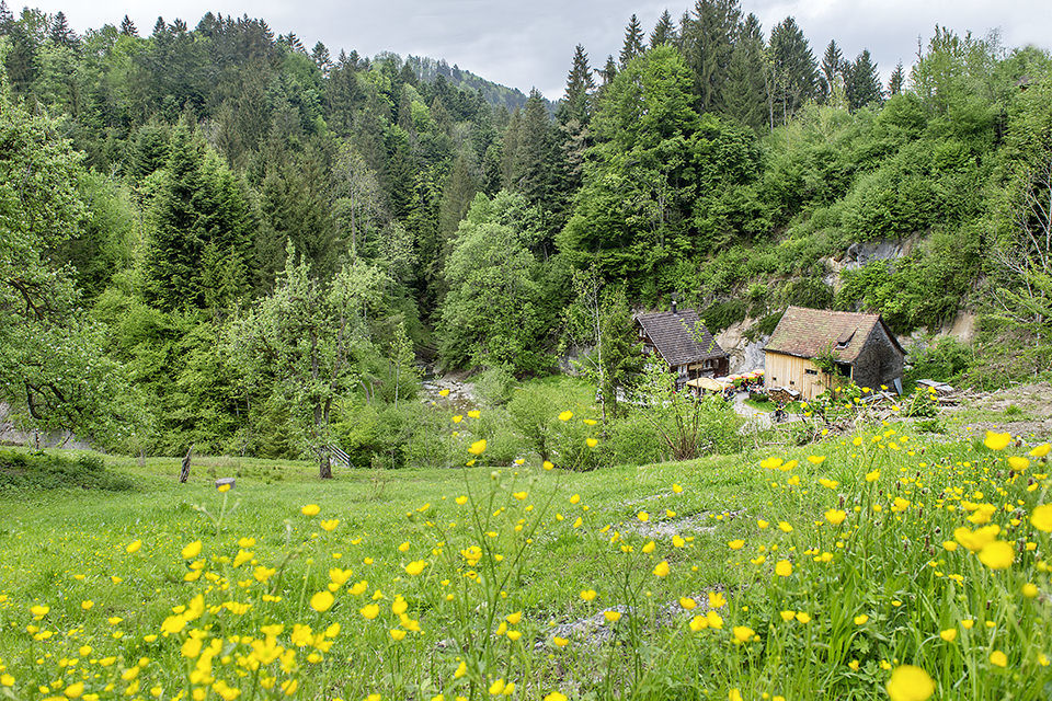
© Appenzellerland Tourismus AR - Jana Bacher

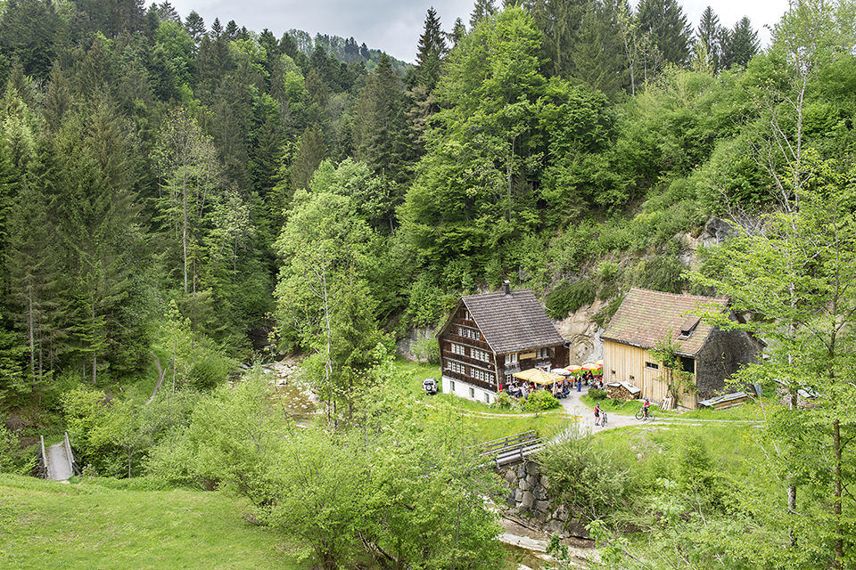
© Appenzellerland Tourismus AR - Nina Ergens
- Breve descripción
-
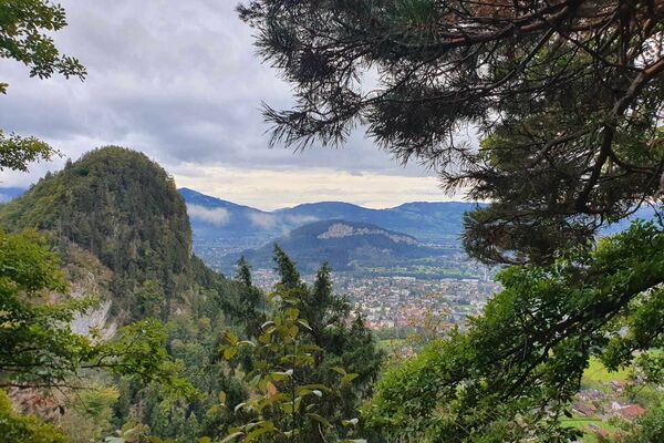
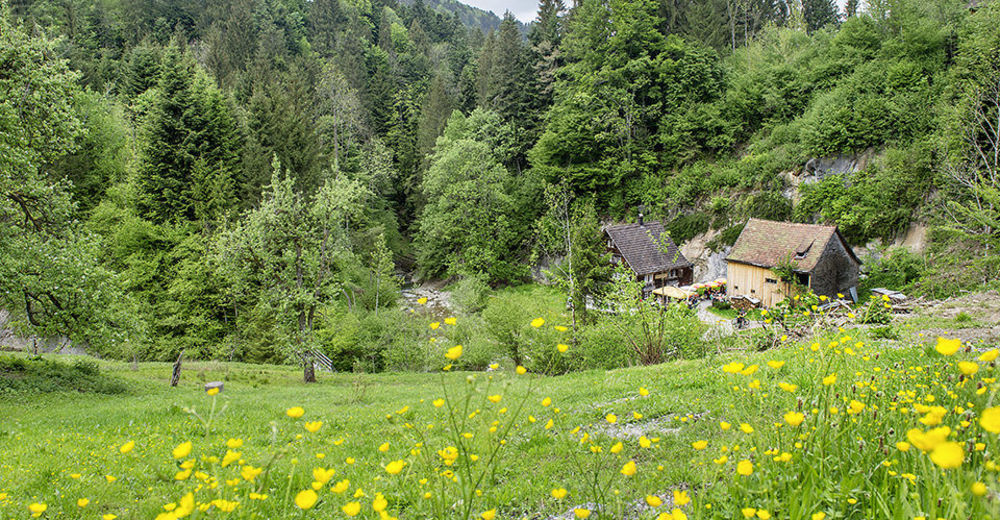
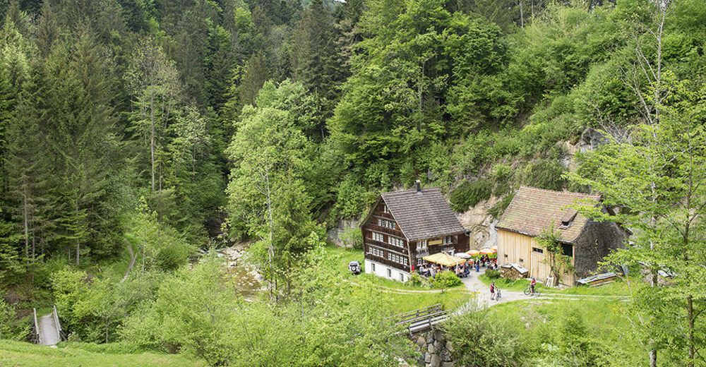
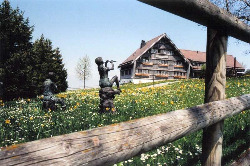
On this hike, the Appenzellerland presents itself in all its splendour: blossoming fruit trees amidst colourful flowering meadows, beautiful farmhouses, and wonderful views of the Vorarlberg Alps, the Alpstein massif and Lake Constance.
- Dificultad
-
medio
- Valoración
-
- Ruta
-
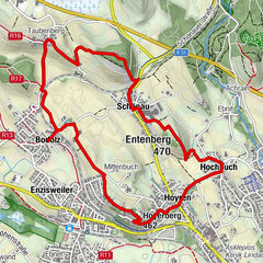
Sankt Gallen (675 m)0,1 kmSpeicher (924 m)0,1 kmChastenloch2,1 kmLinde3,0 kmRehetobel4,3 kmReformierte Kirche4,5 kmDorf 54,5 kmGasthaus zum Gupf5,9 kmGupf (1.089 m)6,1 kmRiemen8,0 kmHalden8,4 kmWürzwallen8,7 kmRappen8,8 kmSpitze9,1 kmStein9,2 kmSteinernes Haus9,8 kmEggersriet9,8 kmKatholische Kirche St. Anna9,8 km
- La mejor temporada
-
enefebmarabrmayjunjulagosepoctnovdic
- Punto álgido
- 1.077 m
- Punto final
-
Eggersriet
- Perfil alto
-
 © outdooractive.com
- Autor
-
La gira From Speicher to Eggersriet es utilizado por outdooractive.com proporcionado.
GPS Downloads


Información general
Punto de avituallamiento
Vistas panorámicas
Más circuitos por las regiones
-
St. Gallen - Bodensee
2067
-
St. Gallen und Umgebung
726
-
Rehetobel
229