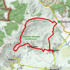
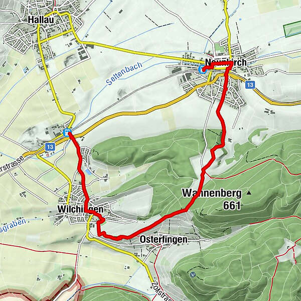
Neunkirch-Aarmenfeld-Osterfingen-Wilchingen

Senderismo

© Schaffhauserland Tourismus - Bruno Sternegg

© Schaffhauserland Tourismus - Bruno Sternegg
© Schaffhauserland Tourismus - Bruno Sternegg

© schaffhauserland-tourismus - Bruno Sternegg

© Schaffhauserland Tourismus - Bruno Sternegg

© Schaffhauserland Tourismus - Bruno Sternegg

© Schaffhauserland Tourismus - Bruno Sternegg

© Schaffhauserland Tourismus - Bruno Sternegg
- Breve descripción
-
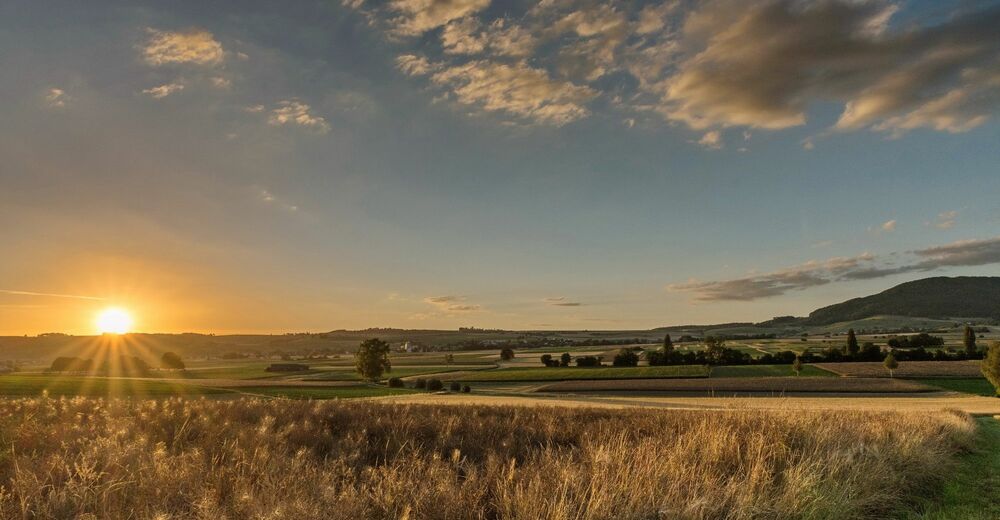
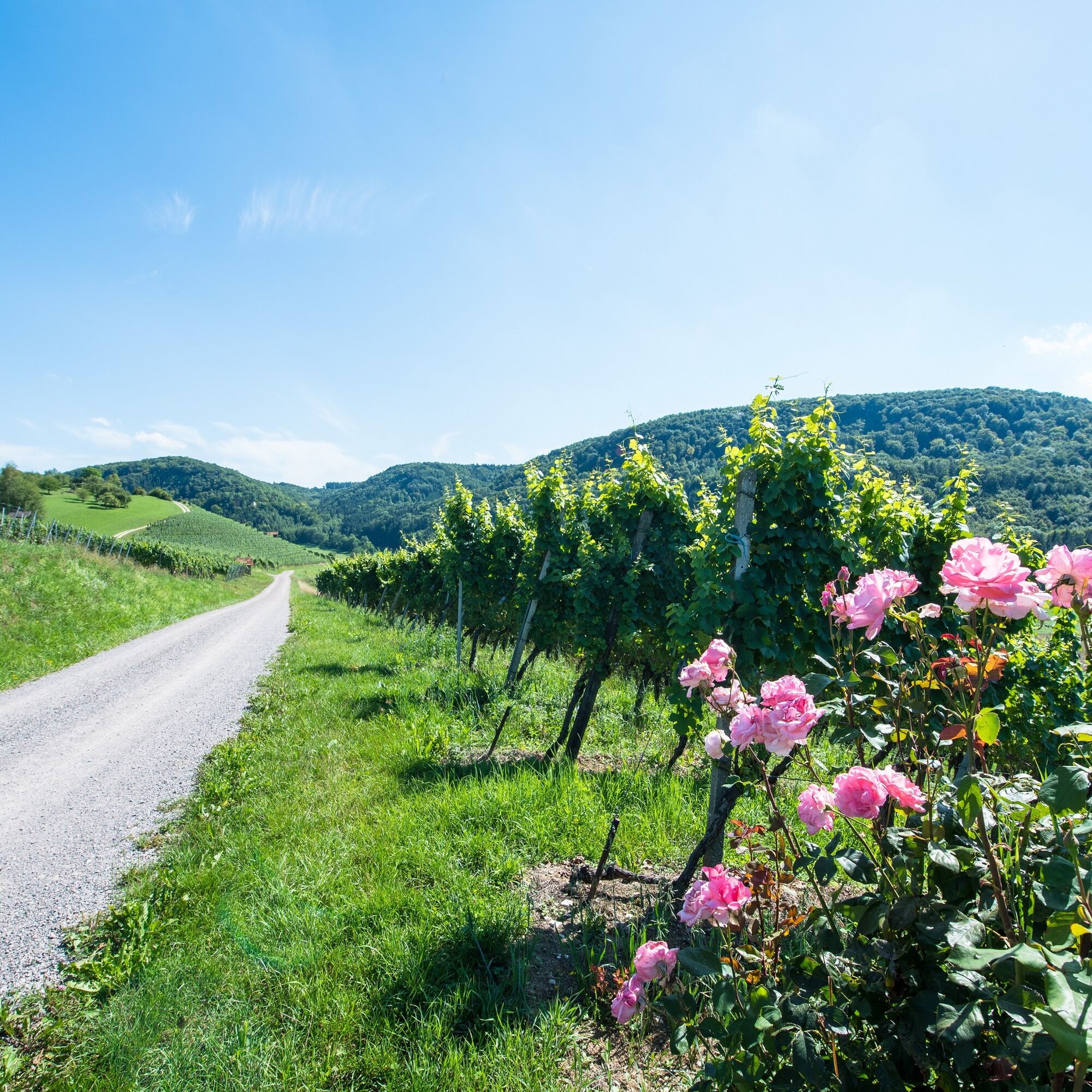
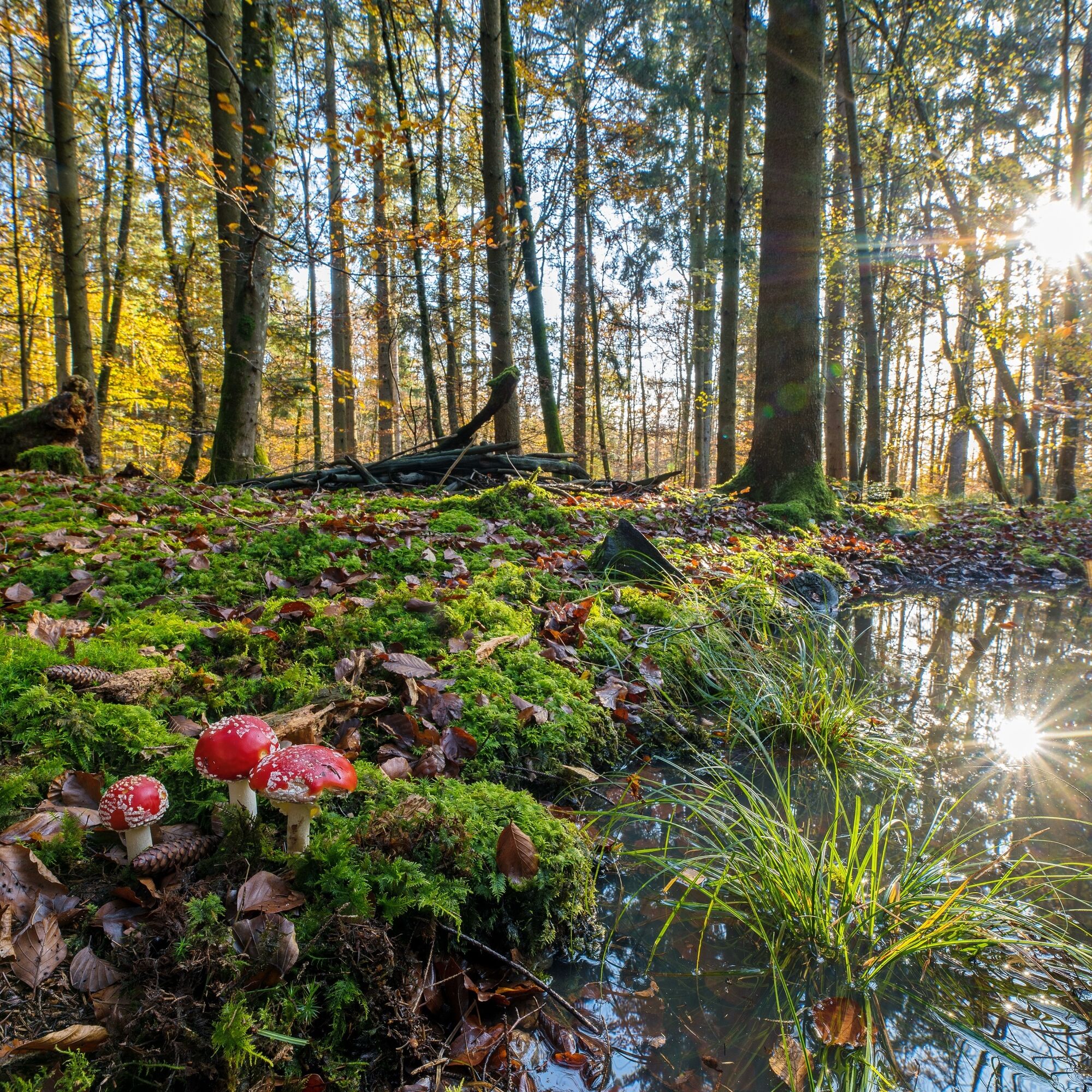
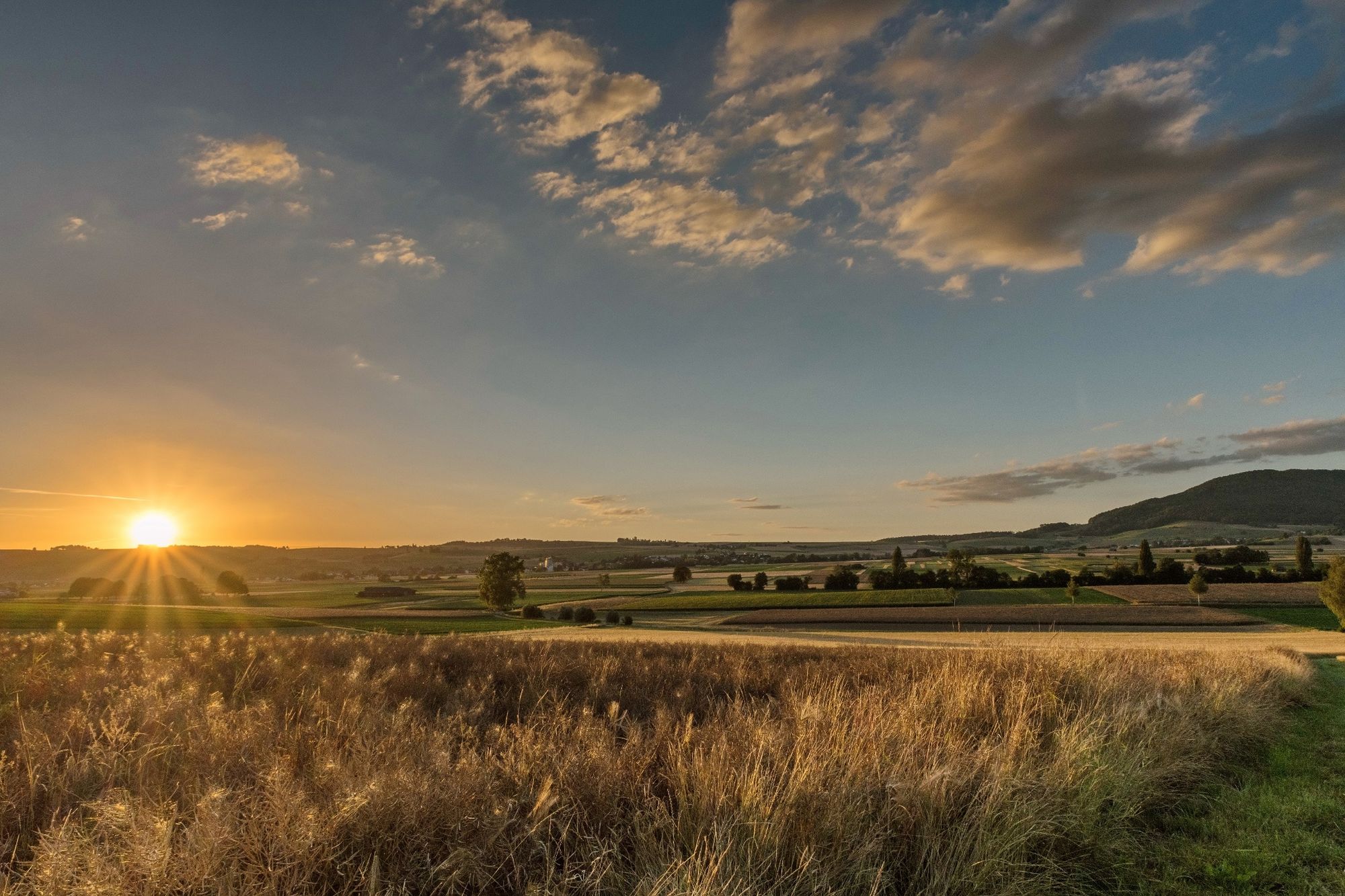
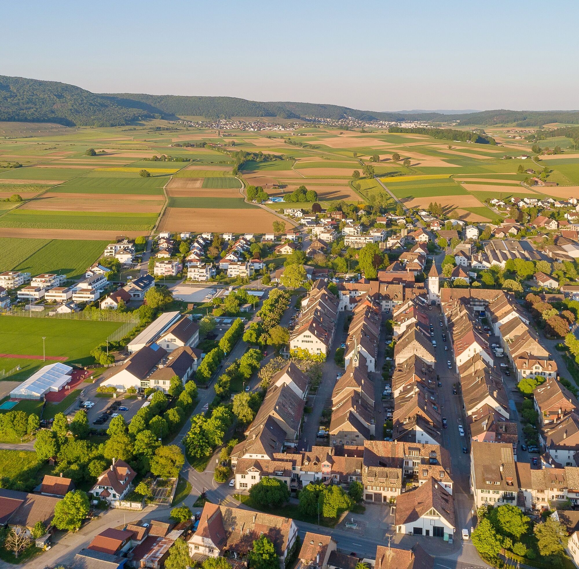
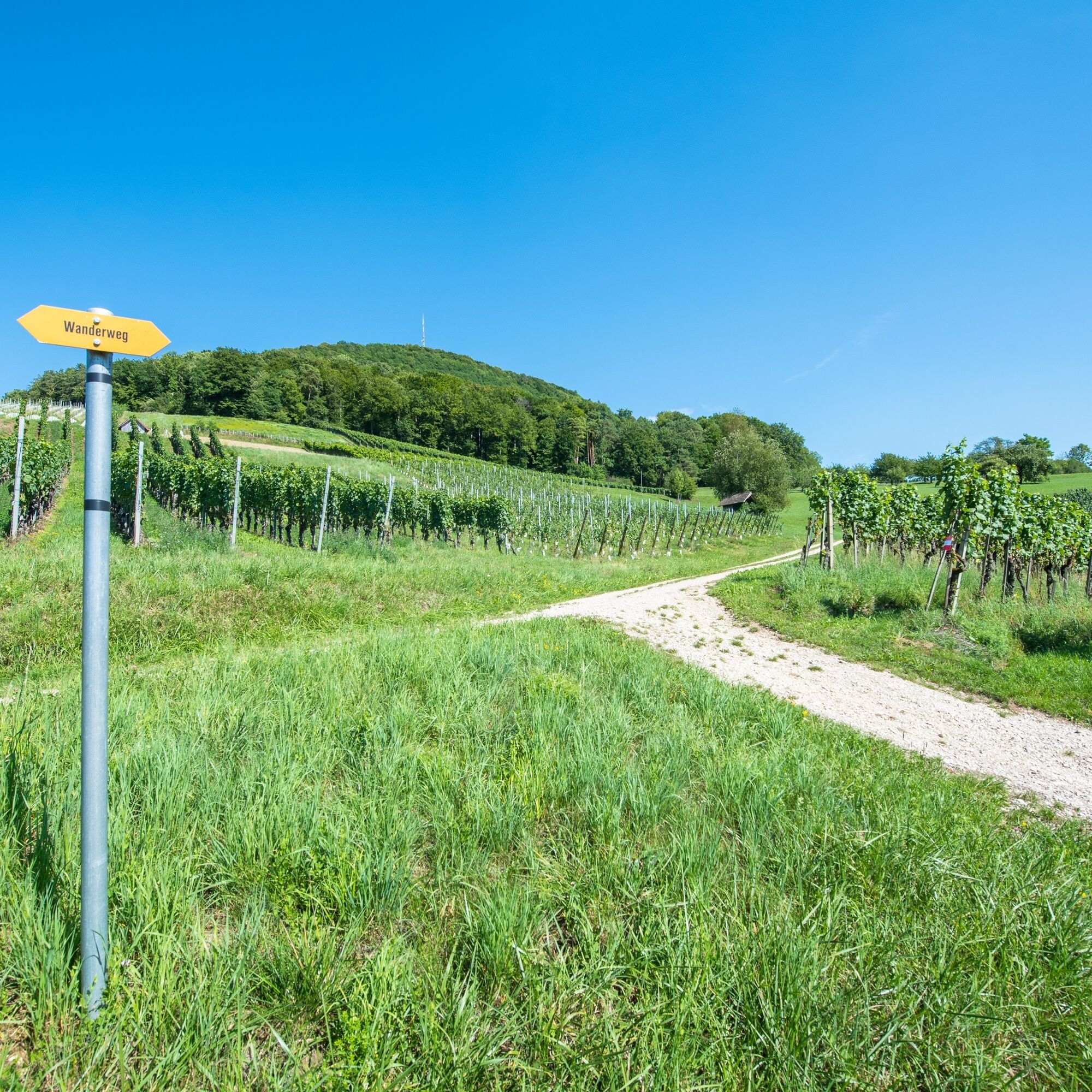
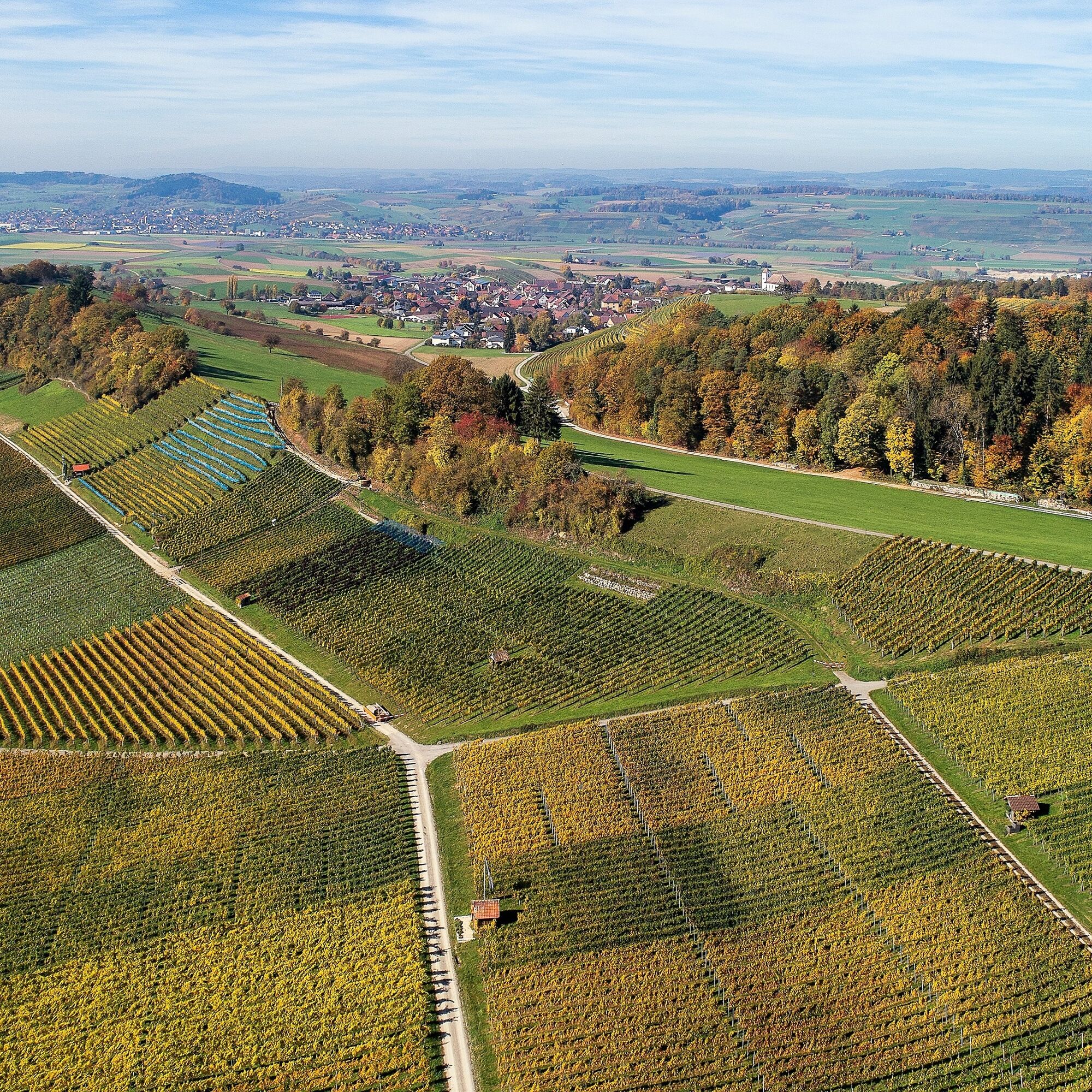
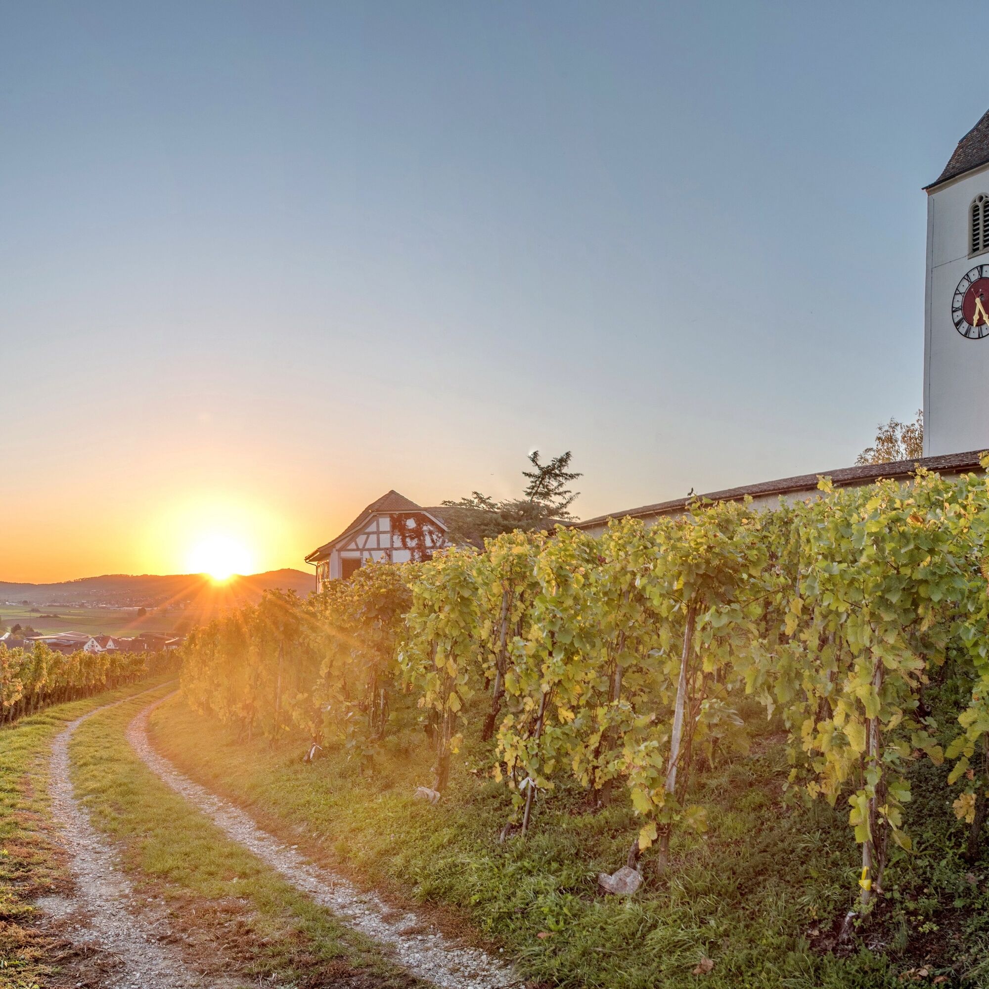
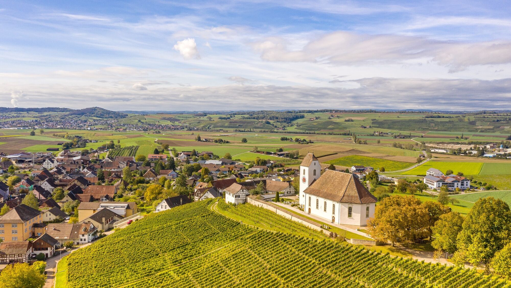
Beautiful hike starting in the town of Neunkirch, via the Aarmenfeld, through the forest of the southern edge and along the vineyards to Osterfingen and Wilchingen.
- Dificultad
-
medio
- Valoración
-
- Ruta
-
Neunkirch0,0 kmStädtlikirche0,3 kmGmaandhuus82130,3 kmRestaurant Weinstube Klettgauerhof0,5 kmNeunkirch (429 m)0,5 kmKlangreservoir3,4 kmOsterfingen4,1 kmRest. Gemeindehaus5,8 kmWilchingen (419 m)5,9 kmGwelb5,9 kmRest. Trauben5,9 kmUnterneuhaus7,3 kmWilchingen-Hallau7,4 km
- La mejor temporada
-
enefebmarabrmayjunjulagosepoctnovdic
- Punto álgido
- 544 m
- Punto final
-
Wilchingen/Hallau railway station, Unterneuhaus
- Perfil alto
-
 © outdooractive.com
-

-
AutorLa gira Neunkirch-Aarmenfeld-Osterfingen-Wilchingen es utilizado por outdooractive.com proporcionado.
GPS Downloads


Información general
Punto de avituallamiento
Más circuitos por las regiones