© Appenzellerland Tourismus AR - Jolanda Spengler, Appenzeller Verlag

© Appenzellerland Tourismus AR - Jolanda Spengler, Appenzeller Verlag

© Appenzellerland Tourismus AR - Jolanda Spengler, Appenzeller Verlag
- Breve descripción
-
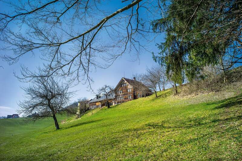
Enjoy the warming spring sun and expansive views.
- Dificultad
-
medio
- Valoración
-
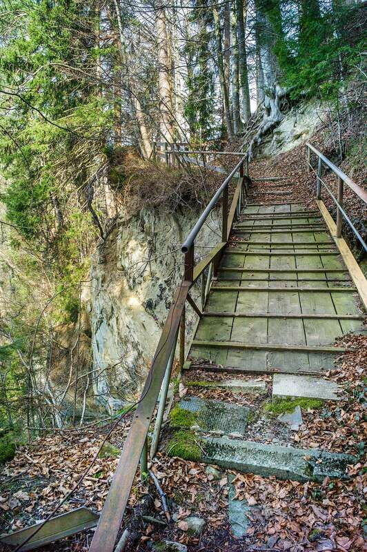
- Ruta
-
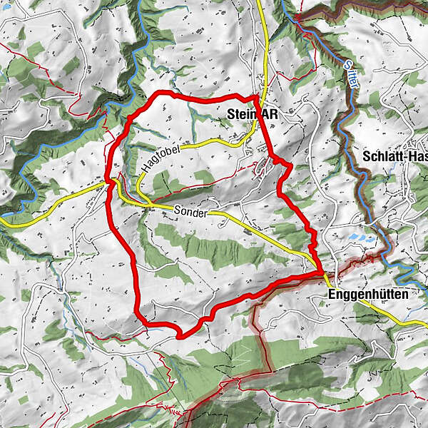
OchsenReformierte Kirche0,0 kmSankt Gallen (675 m)0,0 kmStein AR0,1 kmHundwil2,5 kmKirche Hundwil2,6 kmKrone2,7 kmNassi2,9 kmPfand3,3 kmAlpenrose4,6 kmUnter der Höhe4,7 kmHargarten7,3 kmStein AR9,9 kmOchsen10,1 kmSankt Gallen (675 m)10,2 kmReformierte Kirche10,2 km
- La mejor temporada
-
enefebmarabrmayjunjulagosepoctnovdic
- Punto álgido
- 1.003 m
- Punto final
-
Stein village
- Perfil alto
-
 © outdooractive.com
- Autor
-
La gira Across the hills and down the ravine es utilizado por outdooractive.com proporcionado.
GPS Downloads


Información general
Punto de avituallamiento
Más circuitos por las regiones
-
Appenzellerland
1956
-
Appenzell Ausserrhoden
896
-
Stein AR
292