Etappe 16 Via Glaralpina - UNESCO Weltnaturerbe - aussergewöhnlich nah

Senderismo

© VISIT Glarnerland AG - ©Ursi Läderach

© VISIT Glarnerland AG - ©Markus Marti

© VISIT Glarnerland AG - Via Glaralpina

© Via Glaralpina - Gabi Aschwanden

© Via Glaralpina - Gabi Aschwanden

- Breve descripción
-
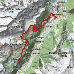
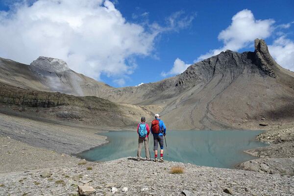
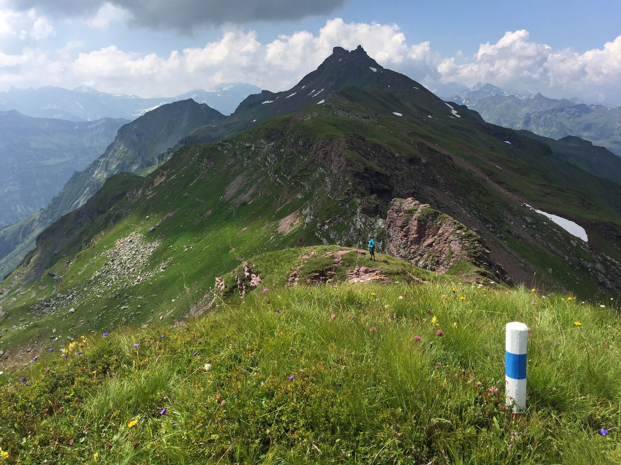
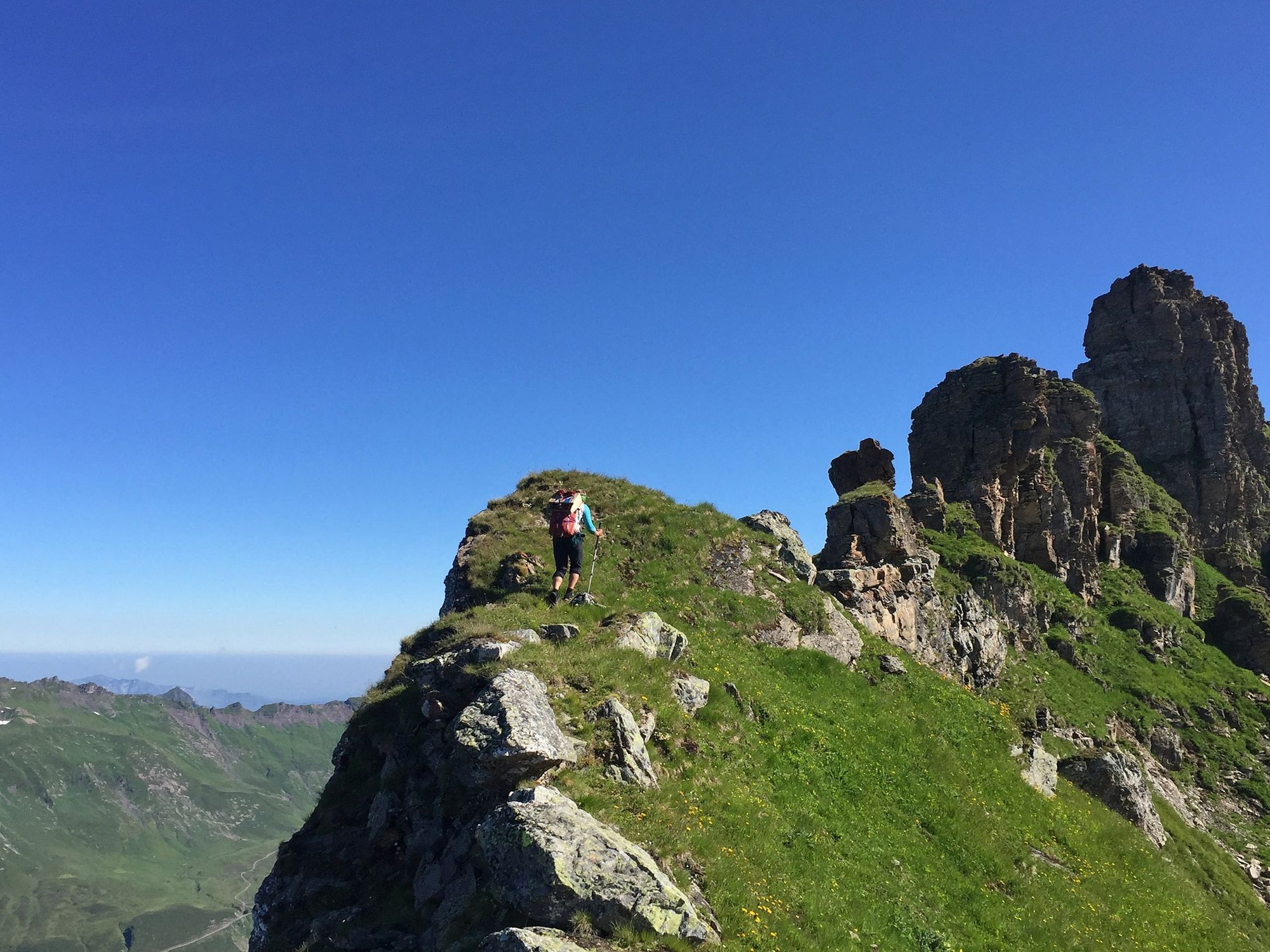
Lange und wunderschöne Gratwanderung über zwei Gipfel, landschaftlich und geologisch ein Highlight.
- Dificultad
-
difícil
- Valoración
-
- Ruta
-
WeissenbergeWirtschaft zum WeissenbergSuterheimet0,1 kmGeren0,4 kmLanzigweid0,7 kmWeidberg1,7 kmSchindlenboden2,0 kmWindbruch2,3 kmAbedweid3,1 kmSkihaus Stäfeli3,5 kmAlp Fitteren3,5 kmSunnenhöreli (2.163 m)5,8 kmGulderturm (2.519 m)7,0 kmGulderstock (2.511 m)7,1 kmBützi9,8 kmChüebützi10,0 kmWissmeilen (2.483 m)11,8 kmOberstafel (1.953 m)14,8 kmÜblis16,9 kmSkihütte Mülibachtal17,8 km
- La mejor temporada
-
enefebmarabrmayjunjulagosepoctnovdic
- Punto álgido
- 2.498 m
- Punto final
-
Skihütte Mülibachtal
- Perfil alto
-
 © outdooractive.com


-

-
AutorLa gira Etappe 16 Via Glaralpina - UNESCO Weltnaturerbe - aussergewöhnlich nah es utilizado por outdooractive.com proporcionado.
GPS Downloads


Información general
Cultural/Histórico
Secreto
Flora
Fauna
Vistas panorámicas
Más circuitos por las regiones
-
Glarnerland
1972
-
Elm
773
-
Weissenberge
151