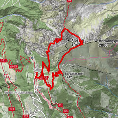
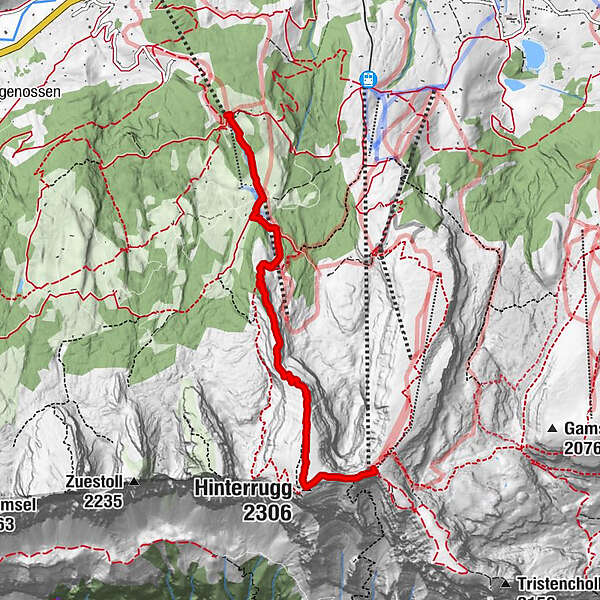
Sellamatt - Ruestel - Sattel - Chäserrugg

Senderismo

- Breve descripción
-
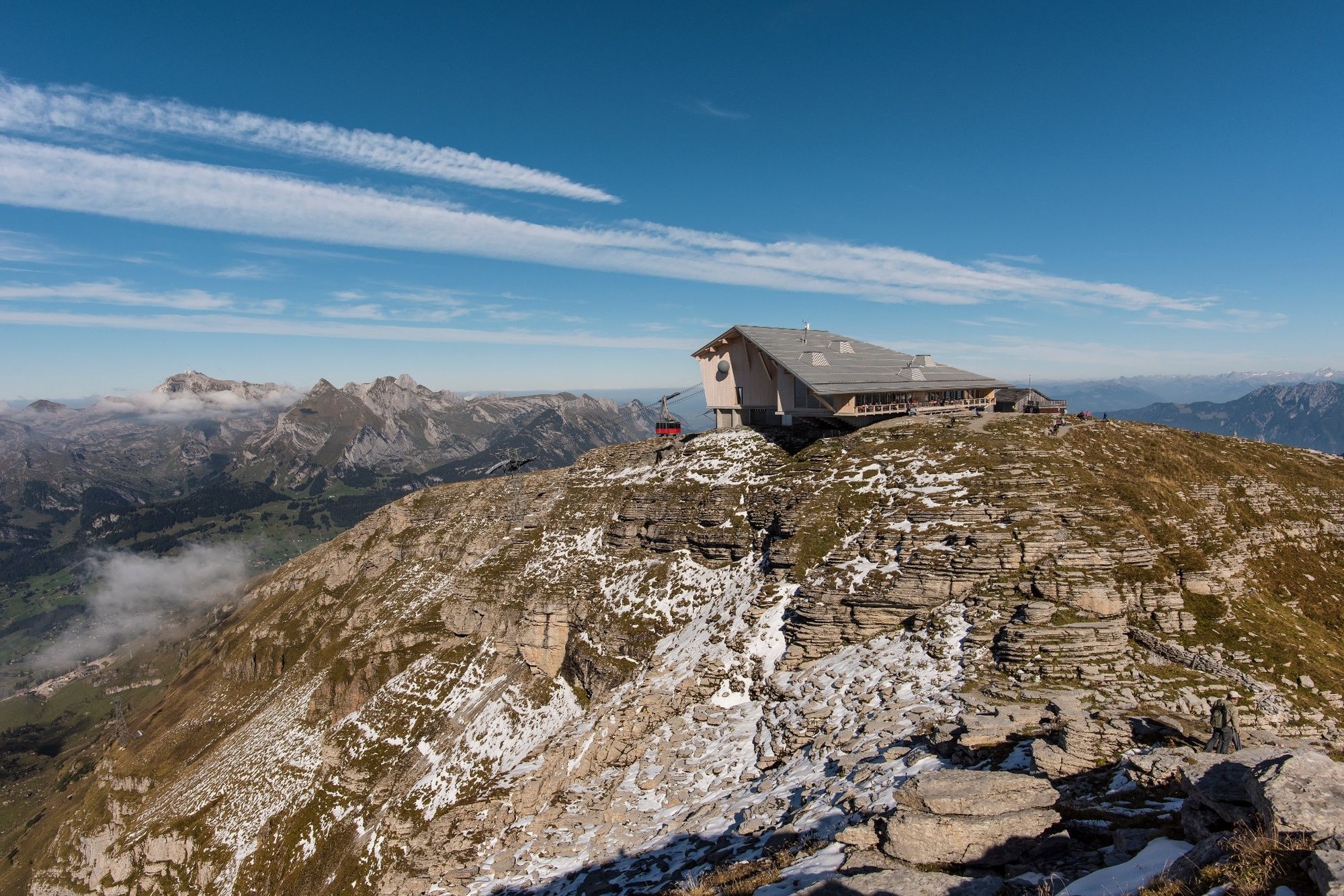
Ohne Umwege direkt auf dem Gipfel vom Chäserrugg.
- Dificultad
-
medio
- Valoración
-
- Ruta
-
Berggasthaus Sellamatt0,0 kmAlp Sellamatt (1.435 m)0,8 kmHinterrugg (2.306 m)4,2 kmChäserugg (Ruggschopf)4,8 kmGipfelrestaurant Chäserrugg (2.255 m)4,8 kmChäserrugg (2.262 m)4,8 km
- La mejor temporada
-
enefebmarabrmayjunjulagosepoctnovdic
- Punto álgido
- 2.300 m
- Punto final
-
Chäserrugg
- Perfil alto
-
 © outdooractive.com
- Autor
-
La gira Sellamatt - Ruestel - Sattel - Chäserrugg es utilizado por outdooractive.com proporcionado.
GPS Downloads
Información general
Punto de avituallamiento
Vistas panorámicas
Más circuitos por las regiones
-
Heidiland
2201
-
Walensee
917
-
Chäserrugg
262