Hike to the highest point in Schaffhausen

Senderismo

© Schaffhauserland Tourismus - Bruno Sternegg


© Schaffhauserland Tourismus - Bruno Sternegg

© Schaffhauserland Tourismus - Bruno Sternegg

© Schaffhauserland Tourismus - Bruno Sternegg

© Clato Pictures

© Schaffhauserland Tourismus - Renato Bagattini

© Schaffhauserland Tourismus - Renato Bagattini

© Schaffhauserland Tourismus - Renato Bagattini

© Renato Bagattini
- Breve descripción
-
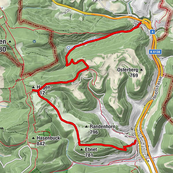
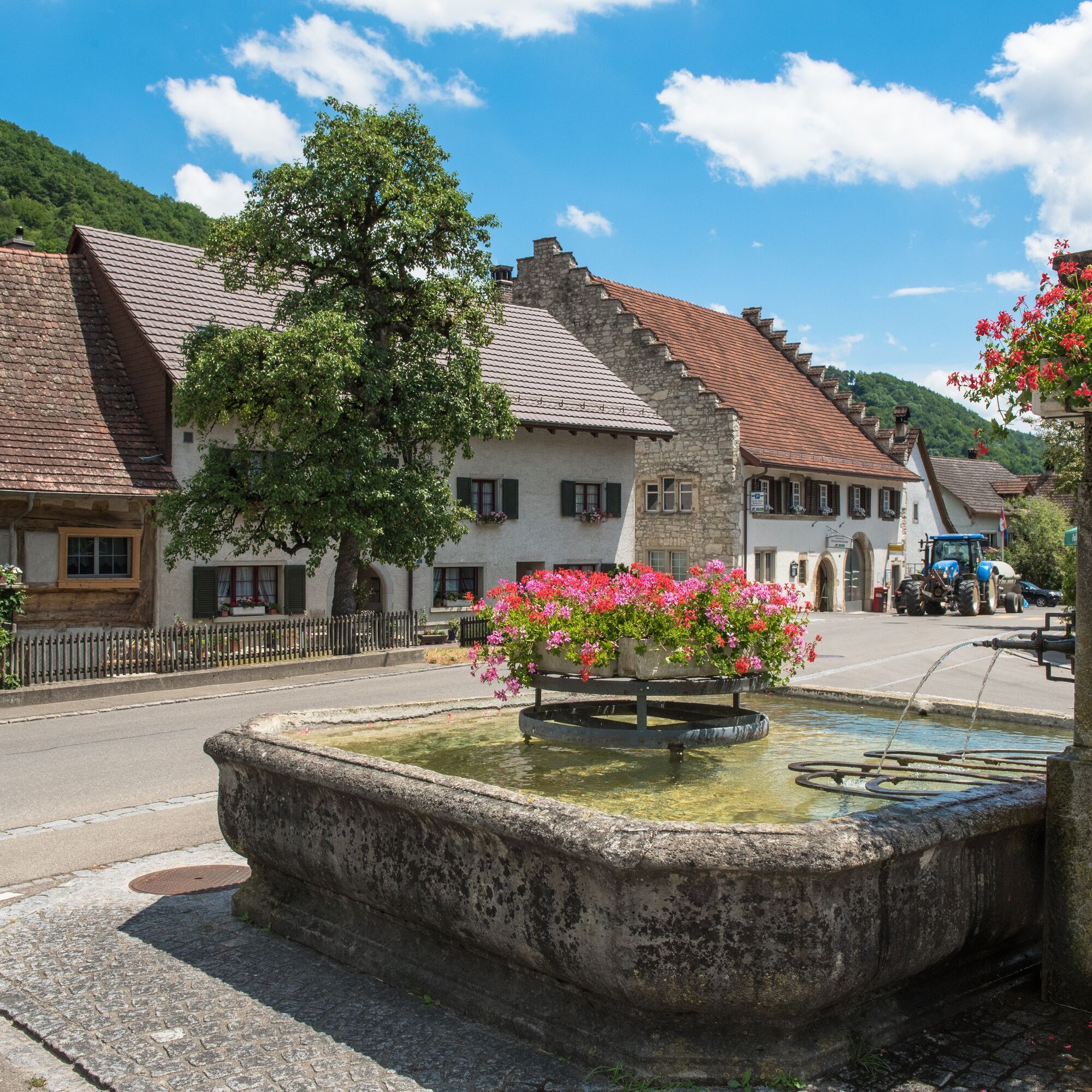
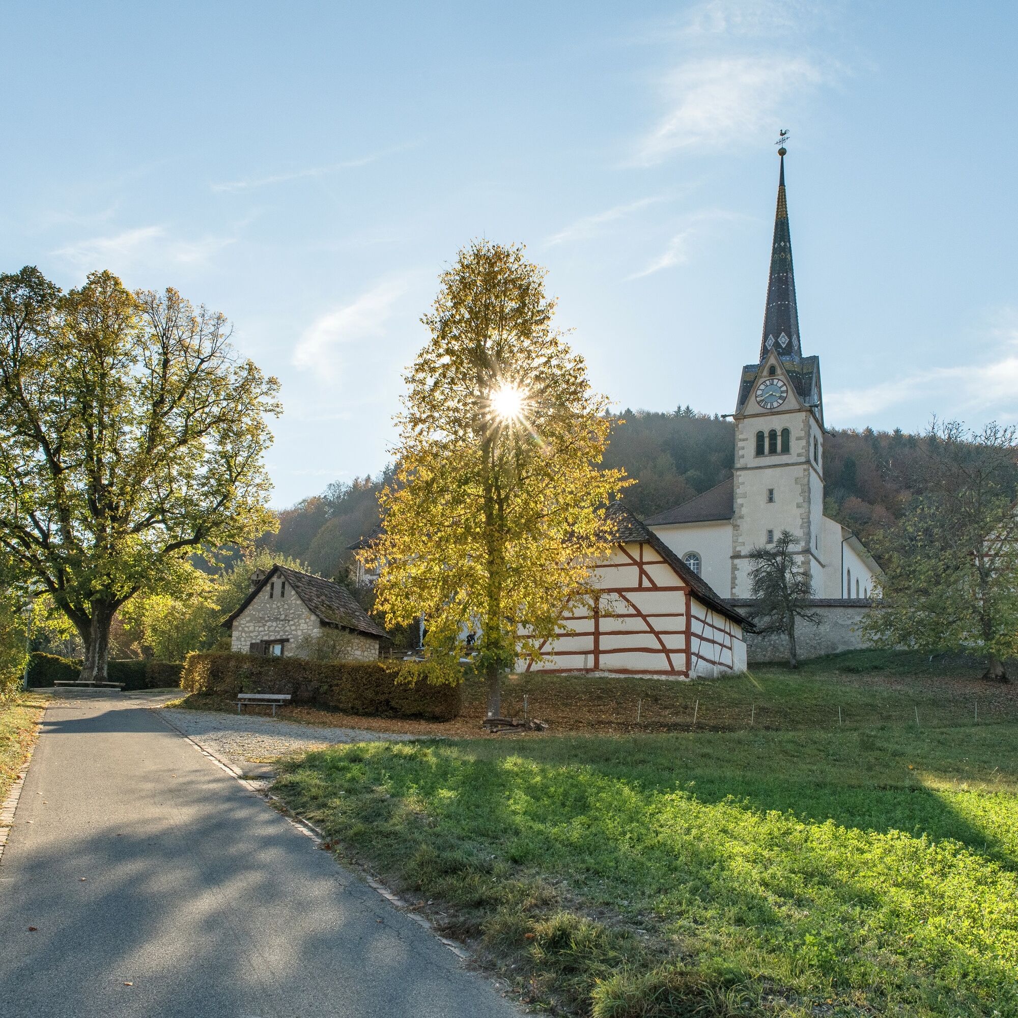
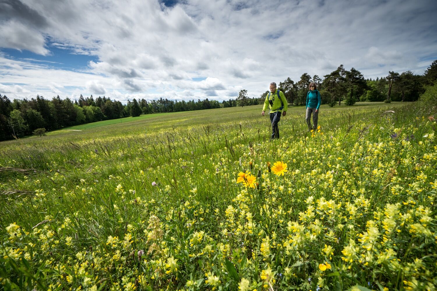
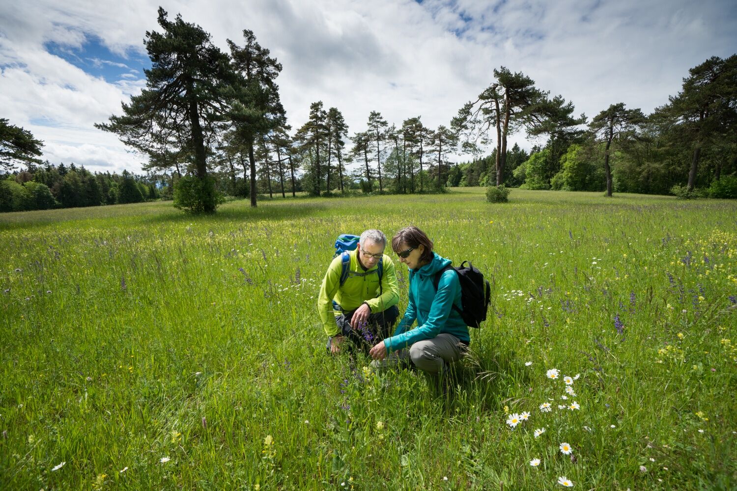
Over the highest point of Schaffhausen to the northernmost municipality in Switzerland. This hike allows you to experience the full richness of the Randen.
- Dificultad
-
medio
- Valoración
-
- Ruta
-
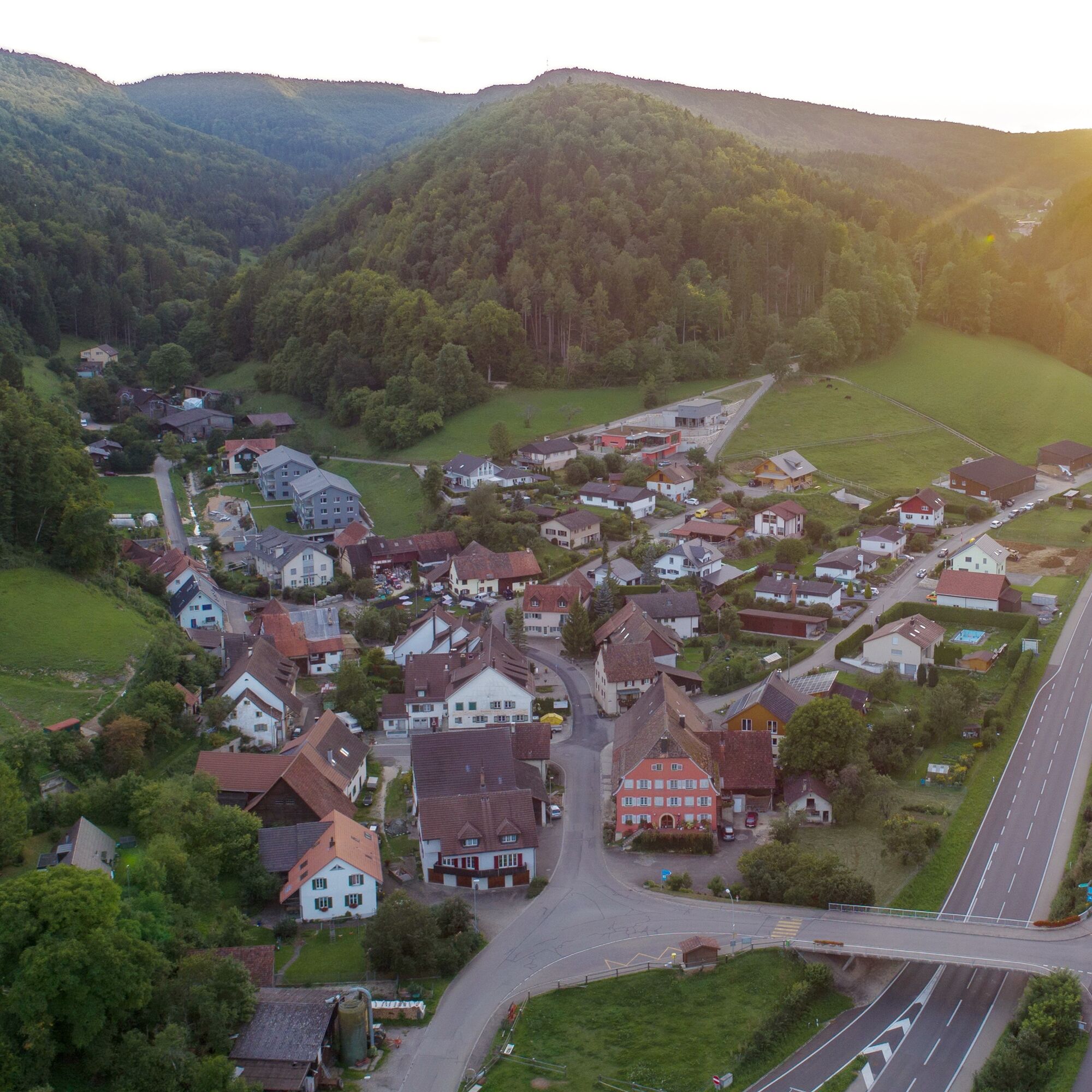
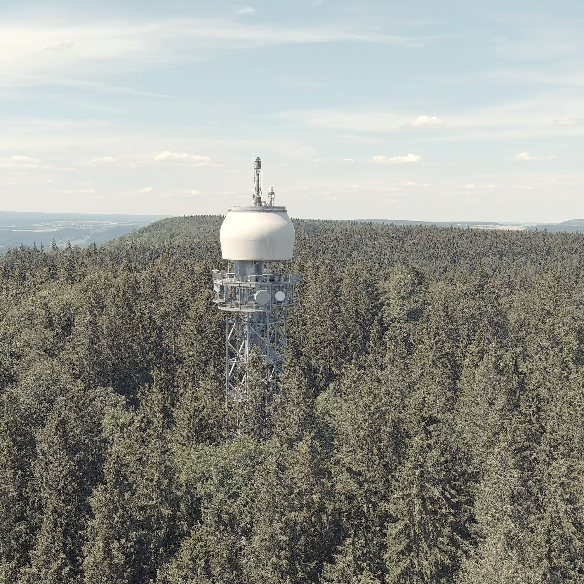
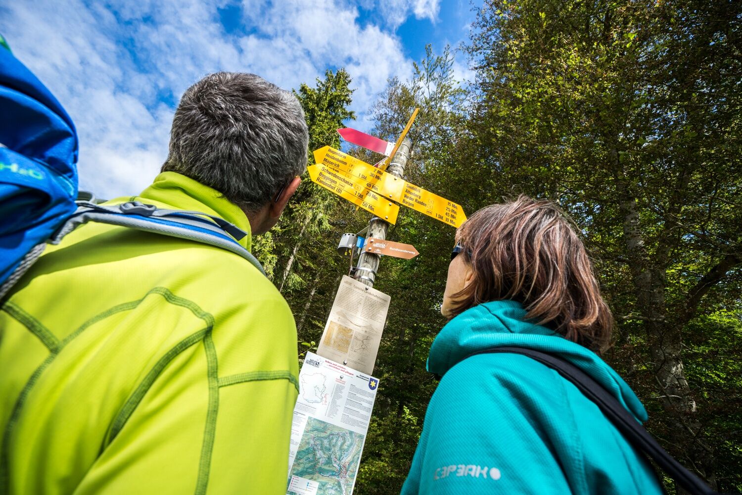
Merishausen (533 m)Reformierte Kirche St. Martin0,1 kmKadettenhütte3,6 kmHagenturm (909 m)4,3 kmHagen4,3 kmBargen (605 m)10,0 km
- La mejor temporada
-
enefebmarabrmayjunjulagosepoctnovdic
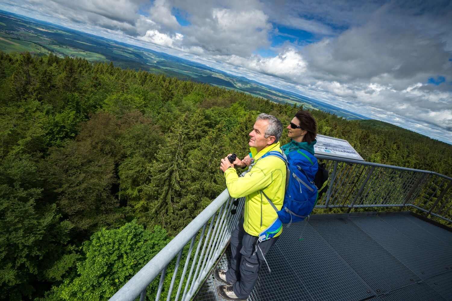
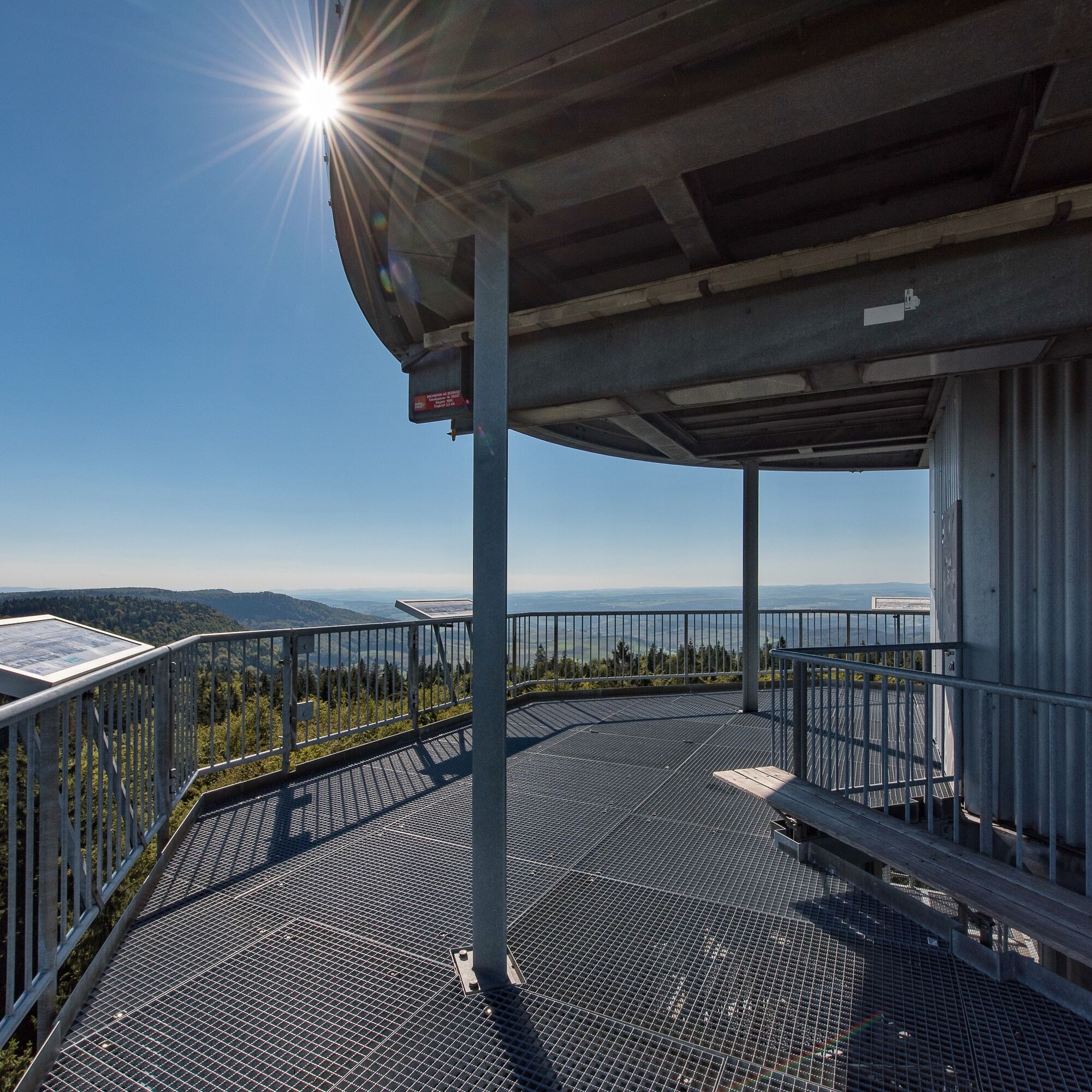
- Punto álgido
- 907 m
- Punto final
-
Bargen, village centre
- Perfil alto
-
 © outdooractive.com
- Autor
-
La gira Hike to the highest point in Schaffhausen es utilizado por outdooractive.com proporcionado.
GPS Downloads

Información general
Punto de avituallamiento
Flora
Fauna
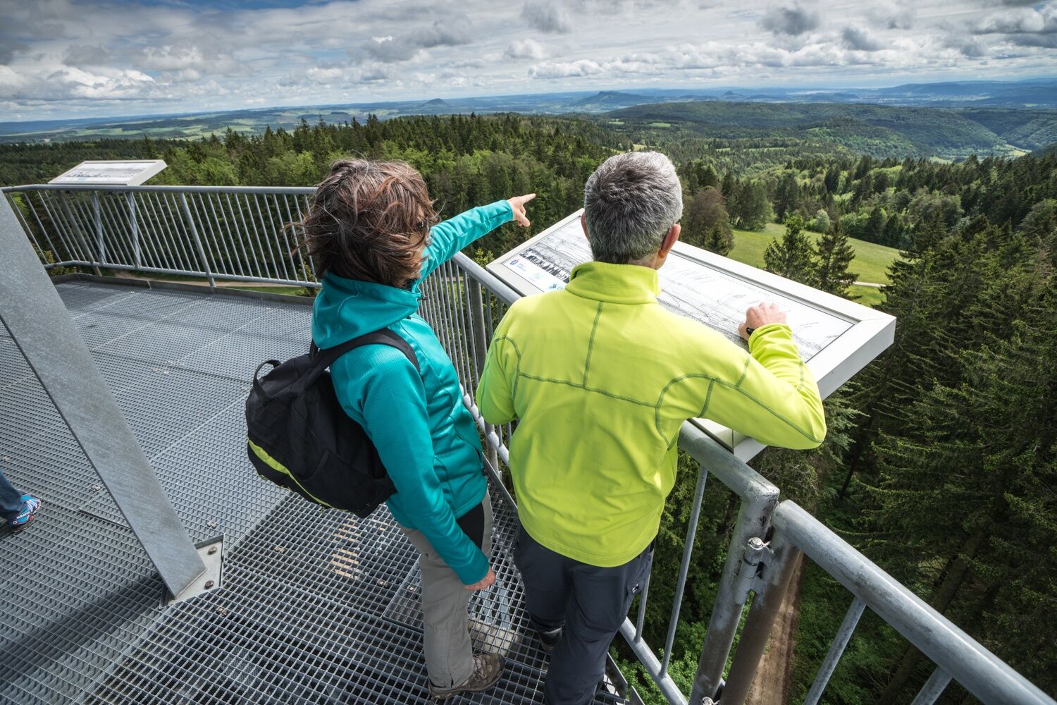
Vistas panorámicas
Más circuitos por las regiones
-
SchaffhauserLand
1027
-
Randen
547
-
Bargen
156