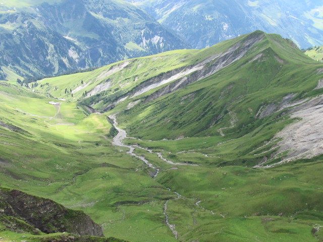
© Peter Straub - VISIT Glarnerland
- Breve descripción
-
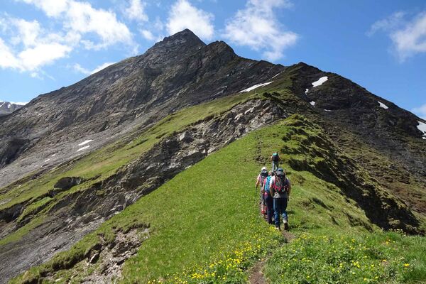
Auf dieser Wanderung sind Ruhe und Stille garantiert.
- Dificultad
-
difícil
- Valoración
-
- Ruta
-
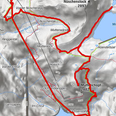
Elm (977 m)Untertal0,4 kmTöniberg1,2 kmStulz1,4 kmOberer Töniberg1,5 kmSchwamm2,6 kmChratzegg3,7 kmRiet4,1 kmRaminer Matt7,6 kmSääss7,7 kmChamm10,1 kmSpilboden10,9 kmGamperdun Mittelstafel11,6 kmOber Windegg12,6 kmGamperdun13,7 kmChnollenboden13,9 kmGrossweid14,6 kmChnollen14,9 kmOberer Töniberg15,4 kmAlpegli15,6 kmTöniberg15,8 kmUntertal16,5 kmElm (977 m)16,9 km
- La mejor temporada
-
enefebmarabrmayjunjulagosepoctnovdic
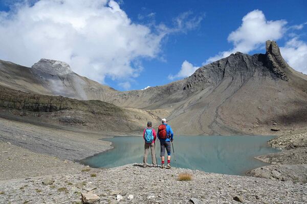
- Punto álgido
- 2.108 m
- Punto final
-
Busstation Elm Station
- Perfil alto
-
 © outdooractive.com
- Autor
-
La gira Rundwanderung Gamperdun - Ramin es utilizado por outdooractive.com proporcionado.
GPS Downloads


Información general
Secreto
Flora
Vistas panorámicas
Más circuitos por las regiones
-
Glarnerland
1972
-
Elm
773
-
Elm
206