Field, forest and meadow paths in the border region

Senderismo

© Jolanda Spengler, Appenzeller Verlag

© Jolanda Spengler, Appenzeller Verlag

© Jolanda Spengler, Appenzeller Verlag

© Jolanda Spengler, Appenzeller Verlag

© Jolanda Spengler, Appenzeller Verlag
- Breve descripción
-
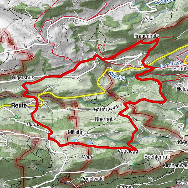
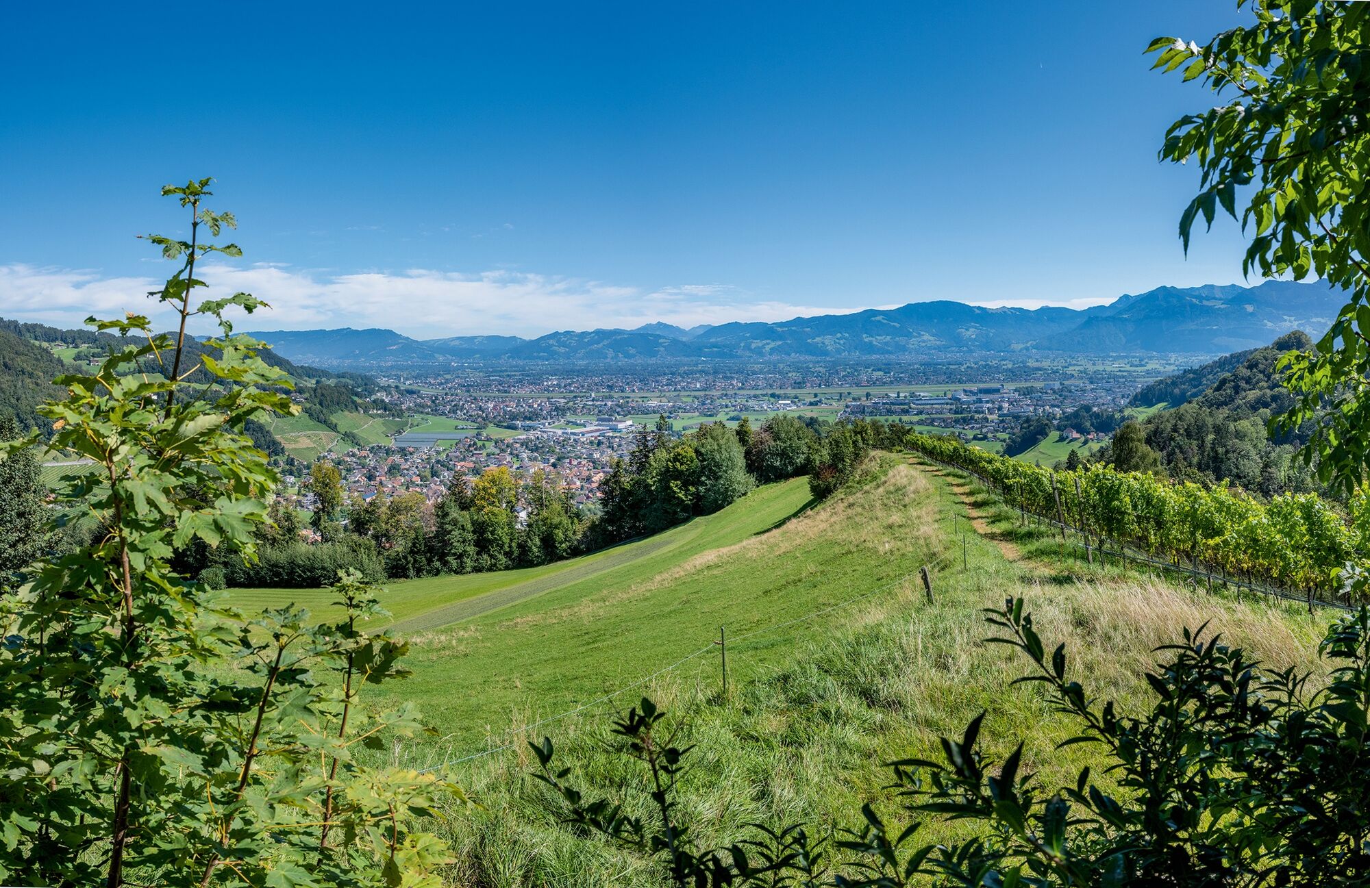
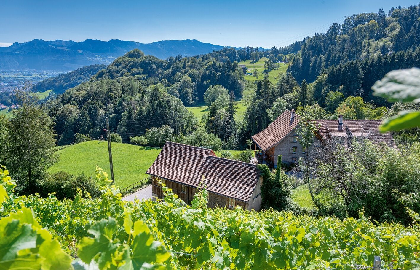
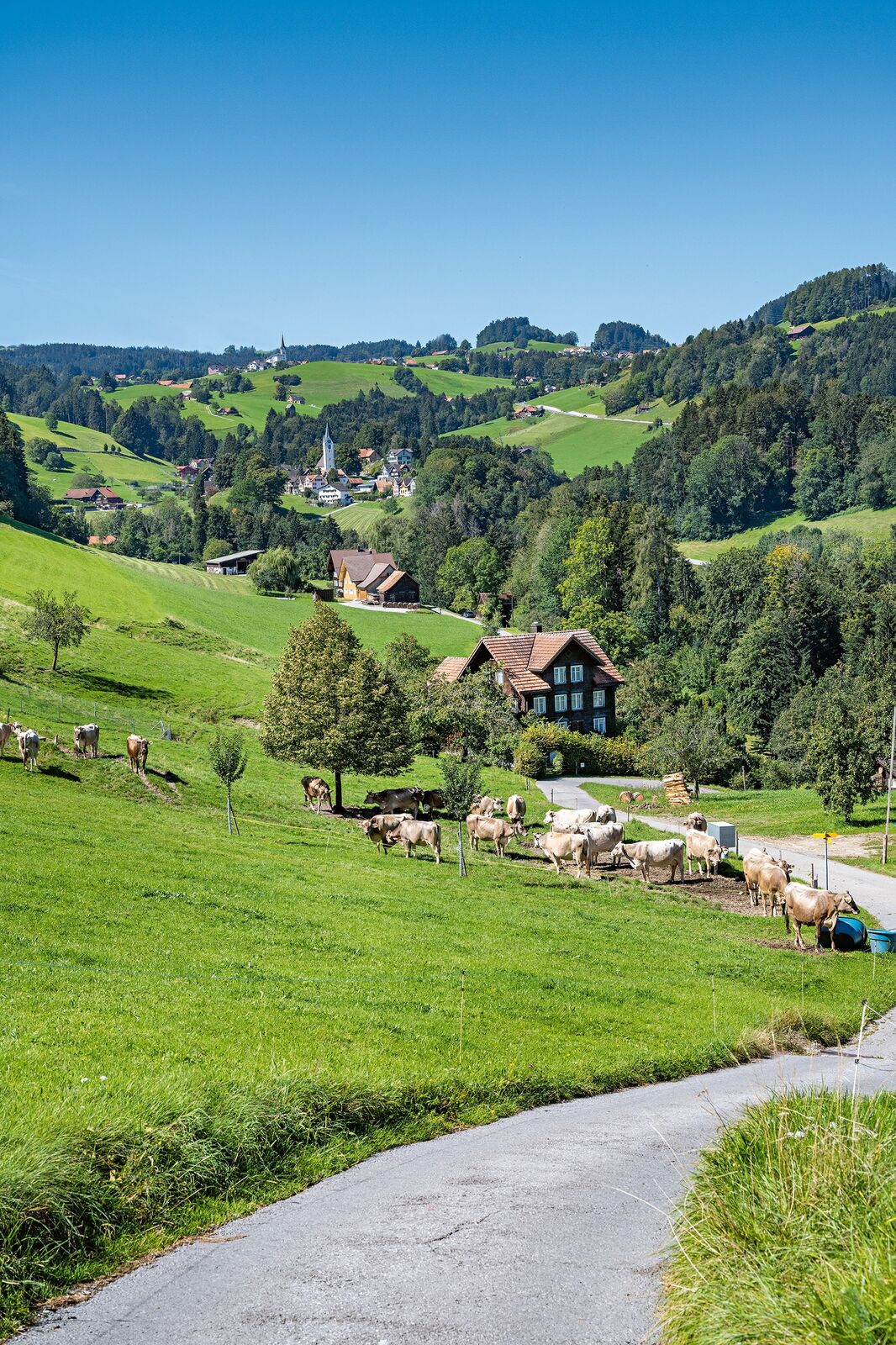
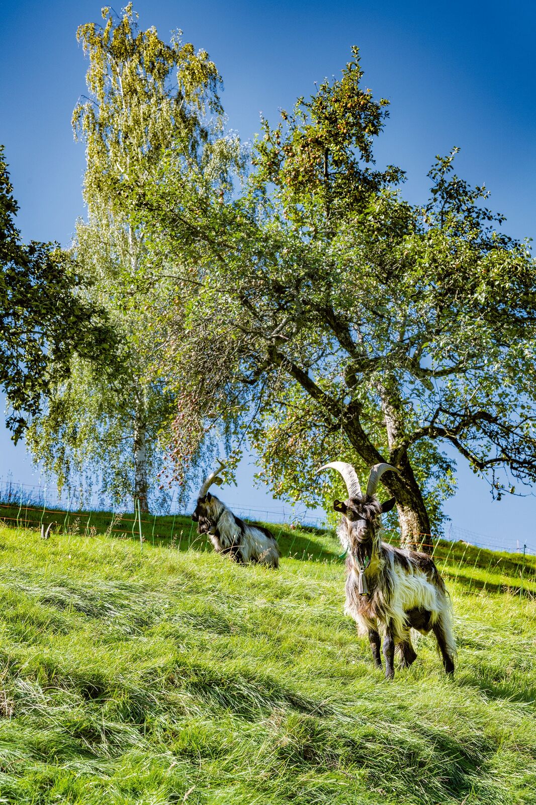
Field, forest and meadow paths in the border regionThis is an up-and-down hike through the border region between the Appenzell Vorderland and the Rhine Valley.
- Dificultad
-
medio
- Valoración
-
- Ruta
-
Reute (703 m)0,3 kmGigershus0,5 kmFrauenholz2,5 kmSteingocht6,9 kmRose7,0 kmReute (703 m)7,5 km
- La mejor temporada
-
enefebmarabrmayjunjulagosepoctnovdic
- Punto álgido
- 780 m
- Punto final
-
Reute, village
- Perfil alto
-
 © outdooractive.com

- Autor
-
La gira Field, forest and meadow paths in the border region es utilizado por outdooractive.com proporcionado.
GPS Downloads


Información general
Punto de avituallamiento
Más circuitos por las regiones
-
St. Gallen - Bodensee
2066
-
St. Galler Rheintal
1333
-
Reute
254


