
- Breve descripción
-
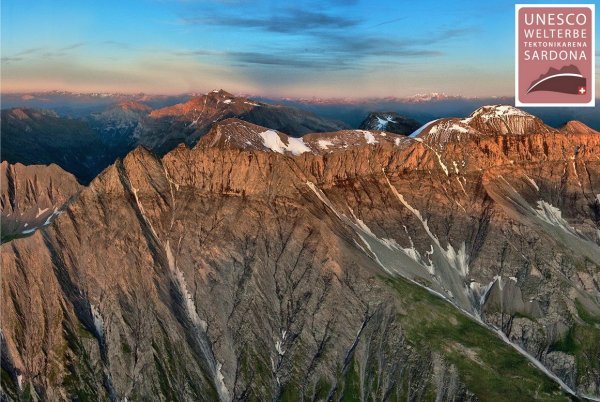
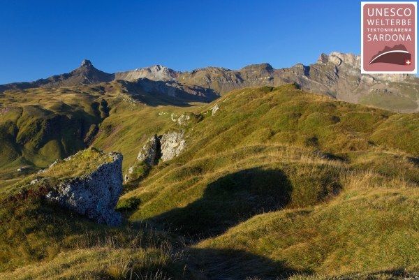
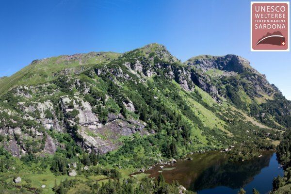
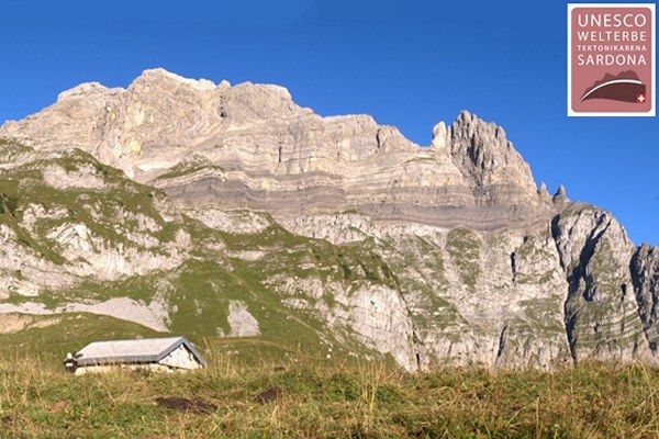
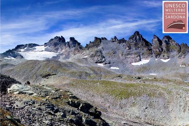
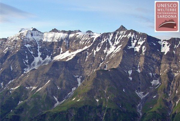
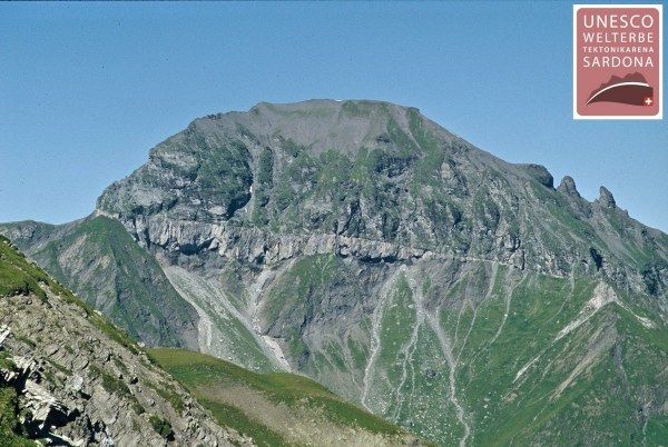
Diese Tour bietet einen einmaligen Einblick ins UNESCO-Weltnaturerbe Tektonikarena Sardona. Im kaum bekannten Grenzgebiet der Kantone St. Gallen, Glarus und Graubünden können Prozesse und Spuren der Gebirgsbildung weltweit am besten beobachtet werden.
- Dificultad
-
difícil
- Valoración
-
- Ruta
-
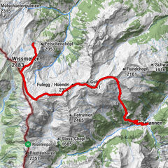
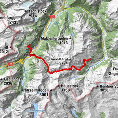
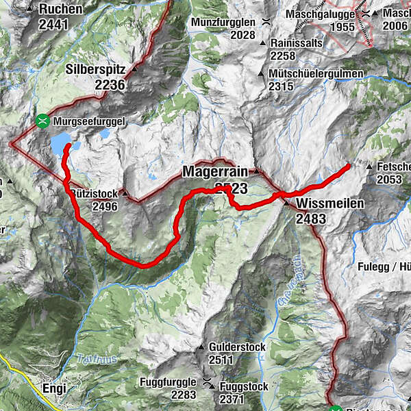
Berggasthaus MurgseeGigerstein1,3 kmLochhüttli2,0 kmNesslenblanggen2,3 kmÜblis5,2 kmOberstafel (1.953 m)7,3 kmSpitzmeilenhütte12,0 km
- Punto álgido
- 2.407 m
- Punto final
-
Spitzmeilenhütte
- Perfil alto
-
 © outdooractive.com
- Autor
-
La gira Sardona-world-heritage-trail No. 73, section 2 es utilizado por outdooractive.com proporcionado.
GPS Downloads


Información general
Punto de avituallamiento
Más circuitos por las regiones
-
Glarnerland
1968
-
Elm
772
-
Weissenberge
151