© Heidiland Tourismus - Sereina Jost
© Heidiland Tourismus - Sereina Jost
© Heidiland Tourismus - Sereina Jost

© Heidiland Tourismus - Sereina Jost
© Heidiland Tourismus - Thomas Kessler
© Heidiland Tourismus - Sereina Jost

- Breve descripción
-
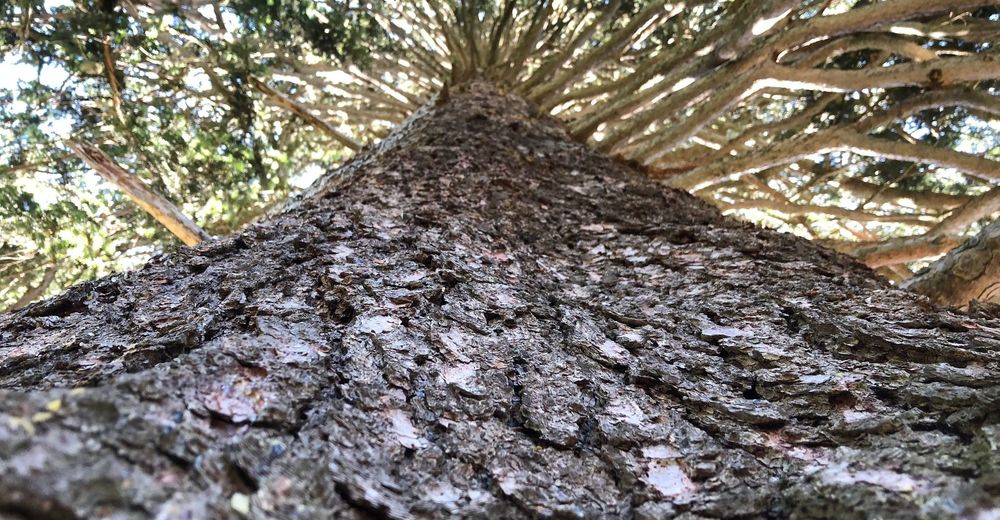
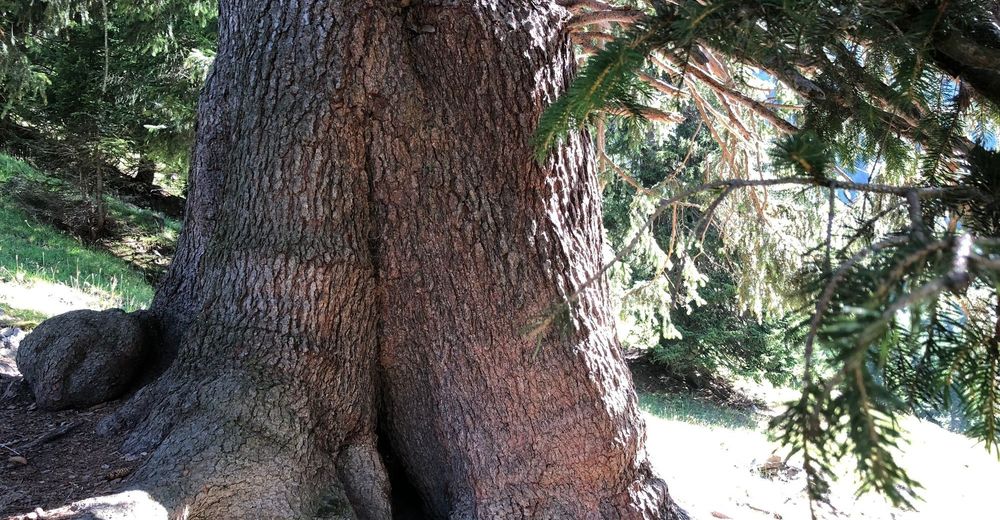
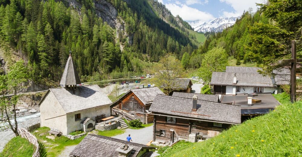
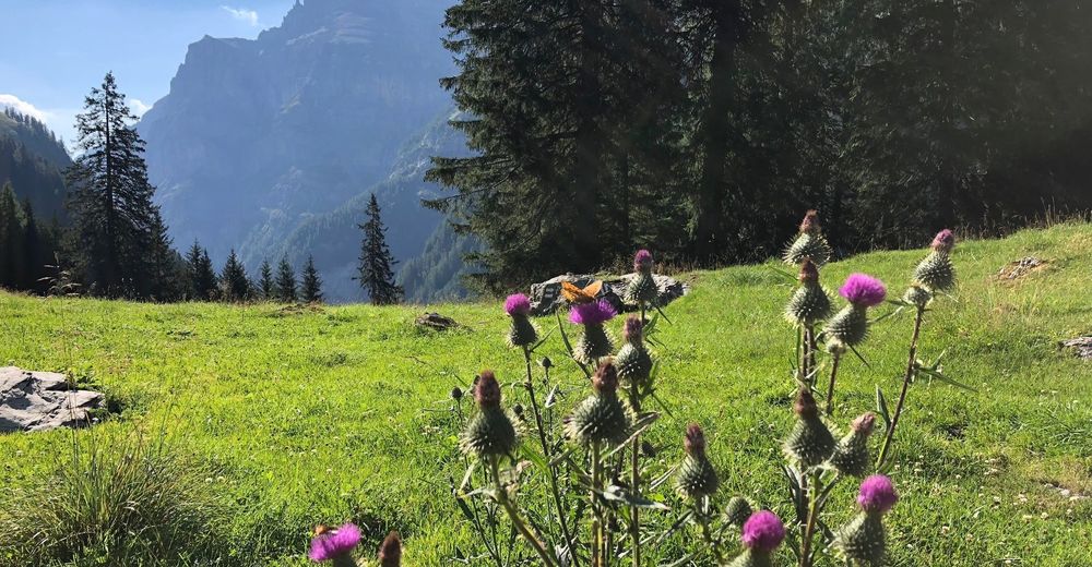
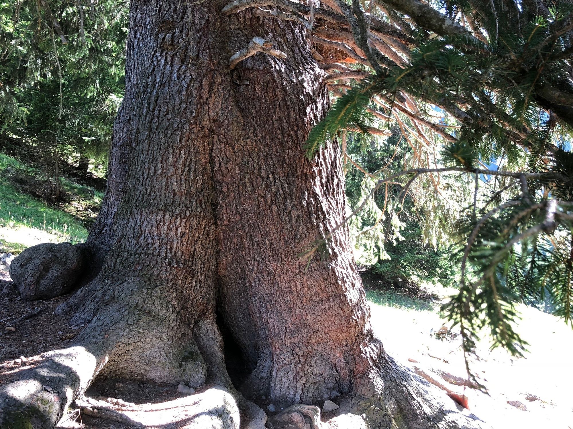
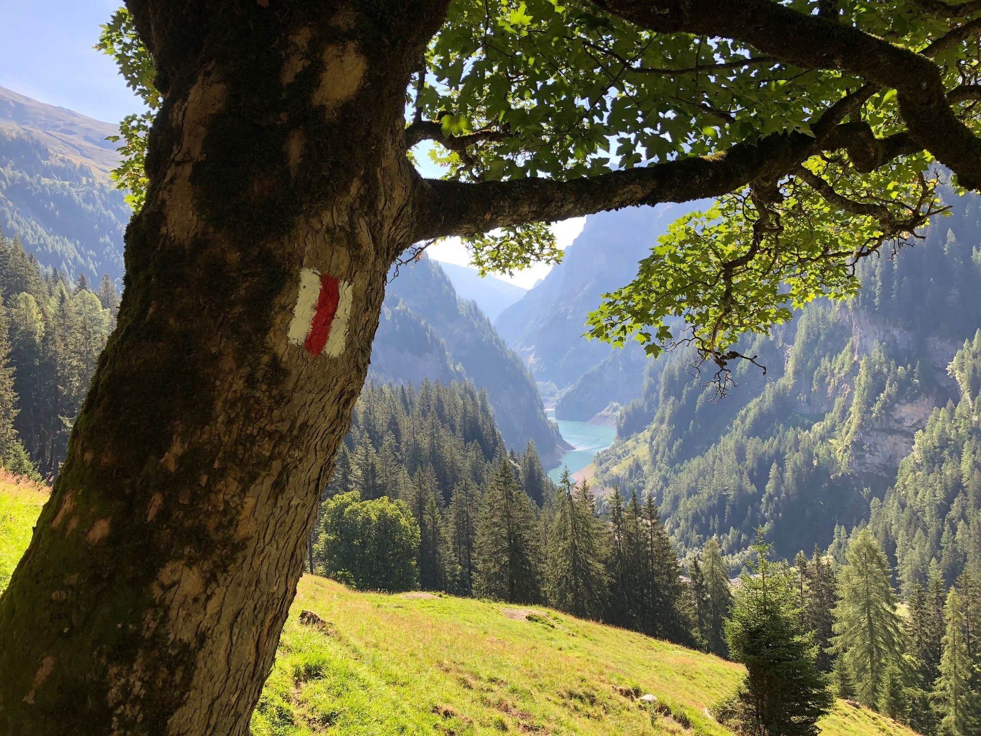
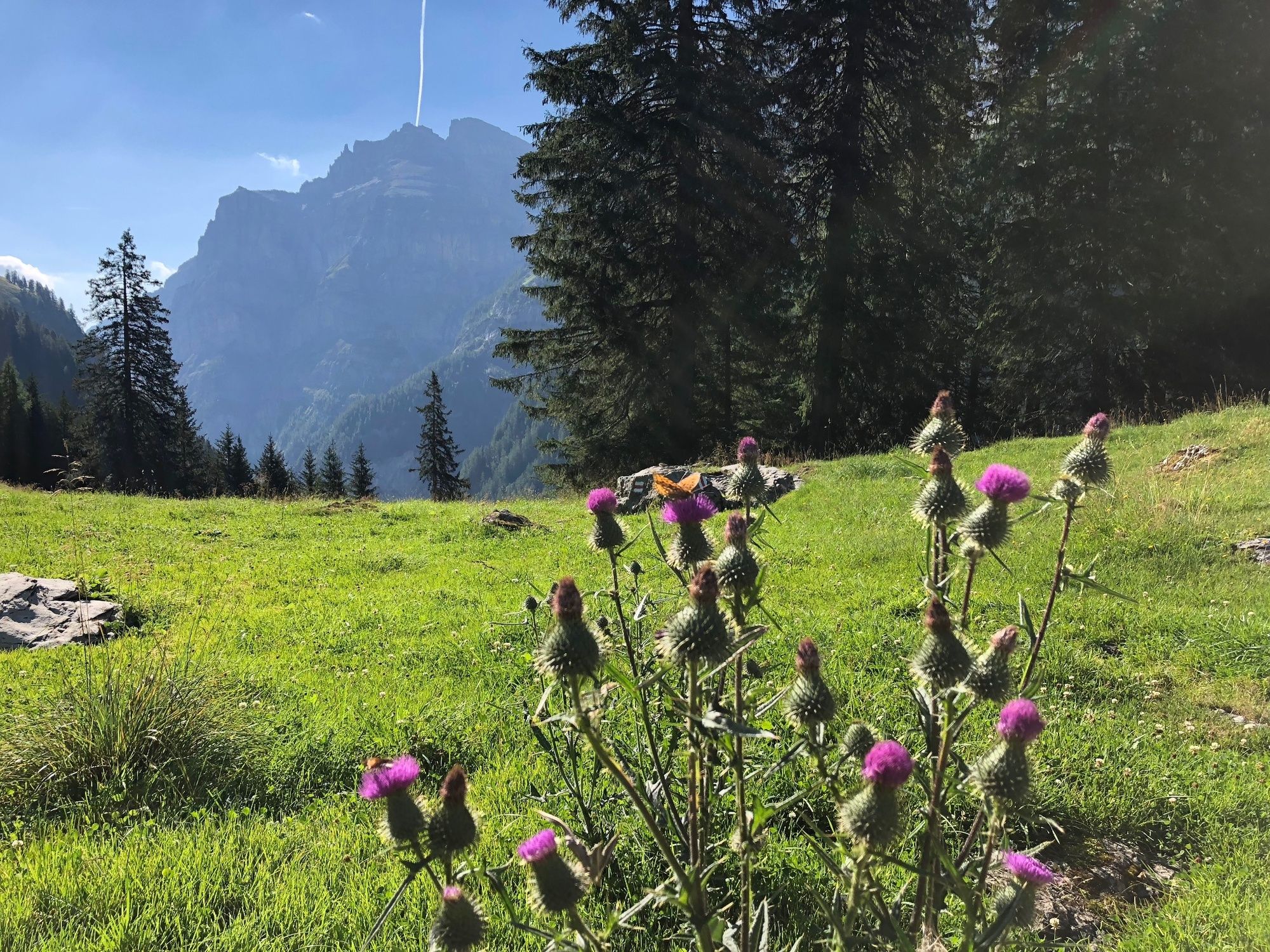
Marvel at the thickest fir in the world in the Calfeisen Valley!
- Dificultad
-
fácil
- Valoración
-
- Ruta
-
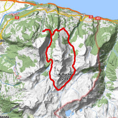
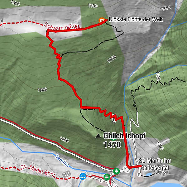
Chilchlichopf (1.470 m)0,3 kmSt. Martin im Calfeisental2,1 km
- La mejor temporada
-
enefebmarabrmayjunjulagosepoctnovdic
- Punto álgido
- 1.573 m
- Punto final
-
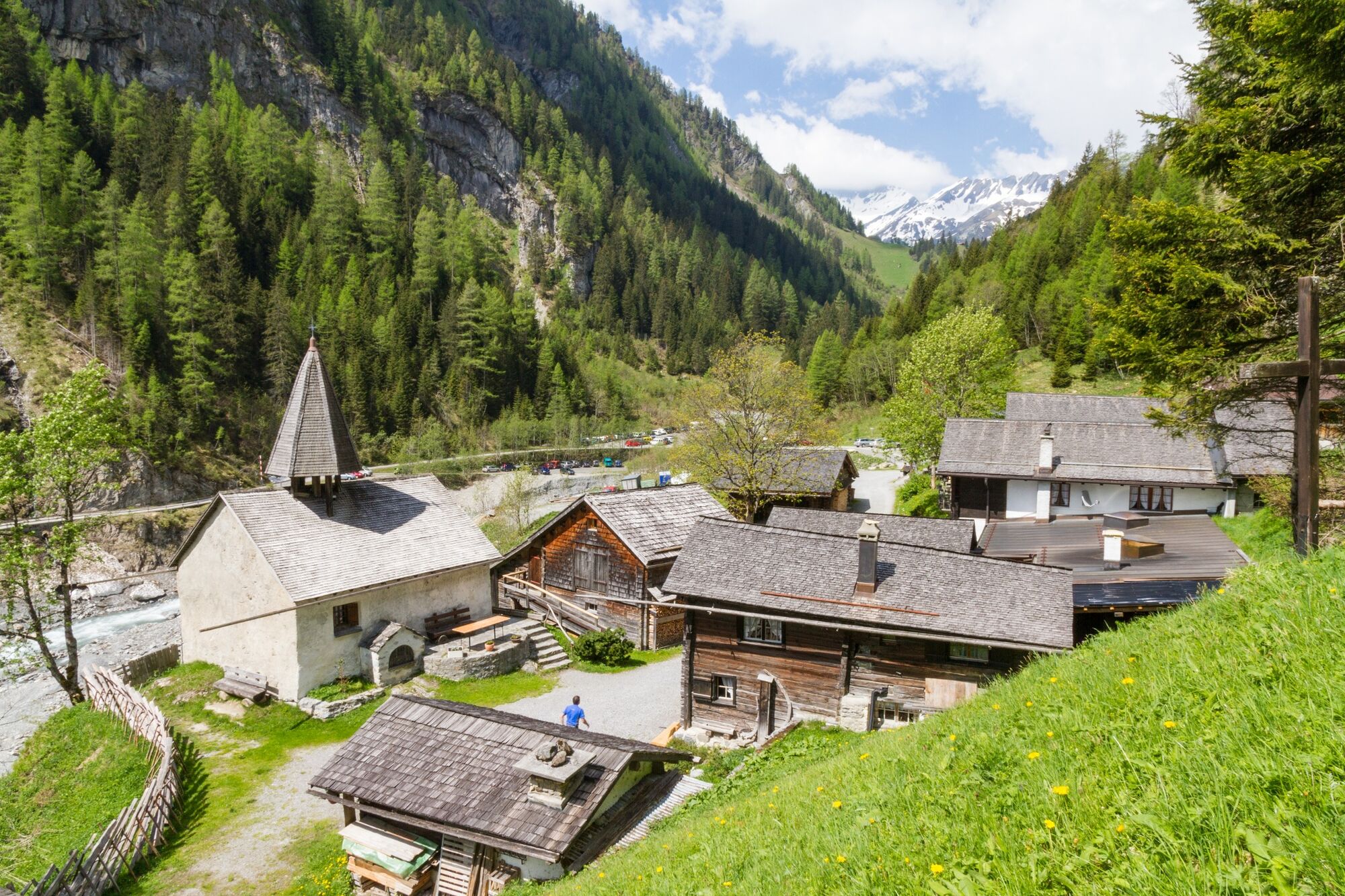
St. Martin im Calfeisental
- Perfil alto
-
 © outdooractive.com


- Autor
-
La gira Way to the thickest fir in the world es utilizado por outdooractive.com proporcionado.
GPS Downloads


Información general
Punto de avituallamiento
Vistas panorámicas
Más circuitos por las regiones
-
Heidiland
2201
-
Flims Laax Falera
774
-
Weisstannen
186