Maschgenkamm - SAC Spitzmeilen hut - Tannenbodenalp

Senderismo


- Breve descripción
-
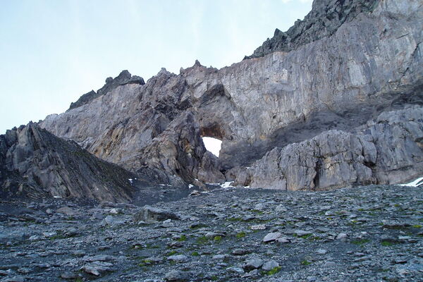
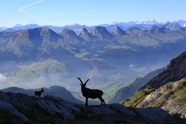
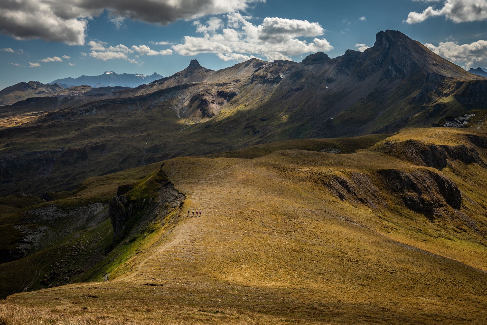
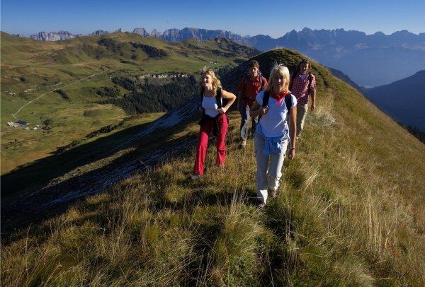
The hike leads over beautiful plateaus to the distinctive Spitzmeilen hut. On the way back via Prodkamm and Prodalp you will discover the scenic diversity of the Flumserberg.
- Dificultad
-
difícil
- Valoración
-
- Ruta
-
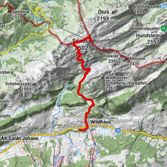
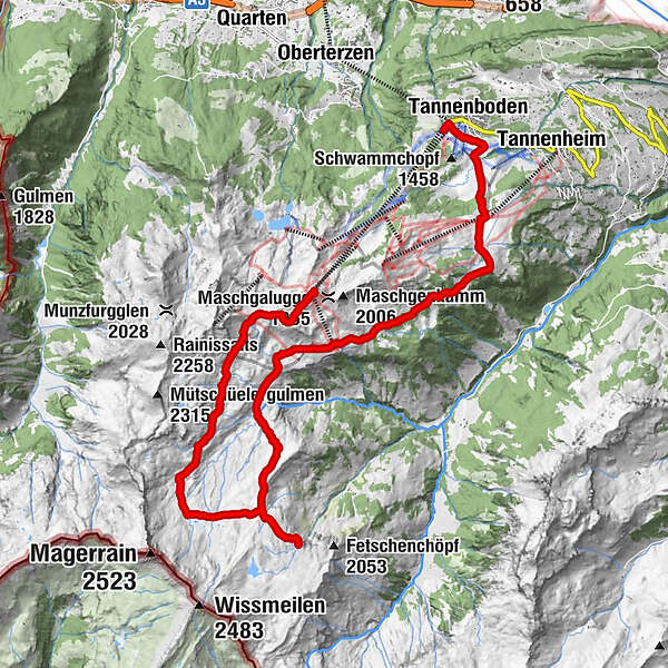
Maschgenkamm (2.020 m)0,0 kmPanoramarestaurant Maschgenkamm0,0 kmPicknickraum0,1 kmZigerfurgglen (1.997 m)1,2 kmSpitzmeilenhütte7,2 kmFursch9,9 kmAlp Fursch9,9 kmPanüöl12,0 kmTannenboden (1.344 m)17,7 km
- La mejor temporada
-
enefebmarabrmayjunjulagosepoctnovdic
- Punto álgido
- 2.107 m
- Punto final
-
Flumserberg, Tannenbodenalp
- Perfil alto
-
 © outdooractive.com

-

-
AutorLa gira Maschgenkamm - SAC Spitzmeilen hut - Tannenbodenalp es utilizado por outdooractive.com proporcionado.
GPS Downloads


Información general
Punto de avituallamiento
Vistas panorámicas
Más circuitos por las regiones
-
Heidiland
2207
-
Walensee
920
-
Flumserberg
237