© Heidiland Tourismus - Dolores Rupa
© Heidiland Tourismus - Ramona Saxer

© Heidiland Tourismus - Jean-Pierre Brunschwiler

- Breve descripción
-
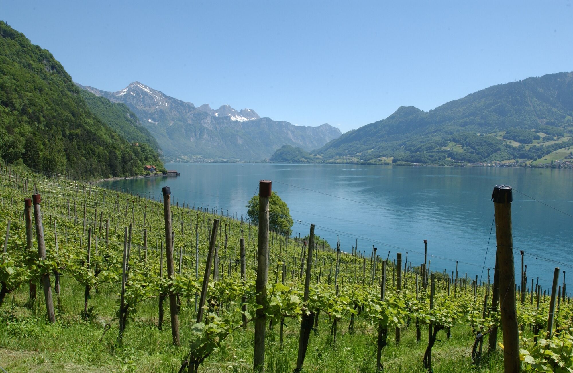
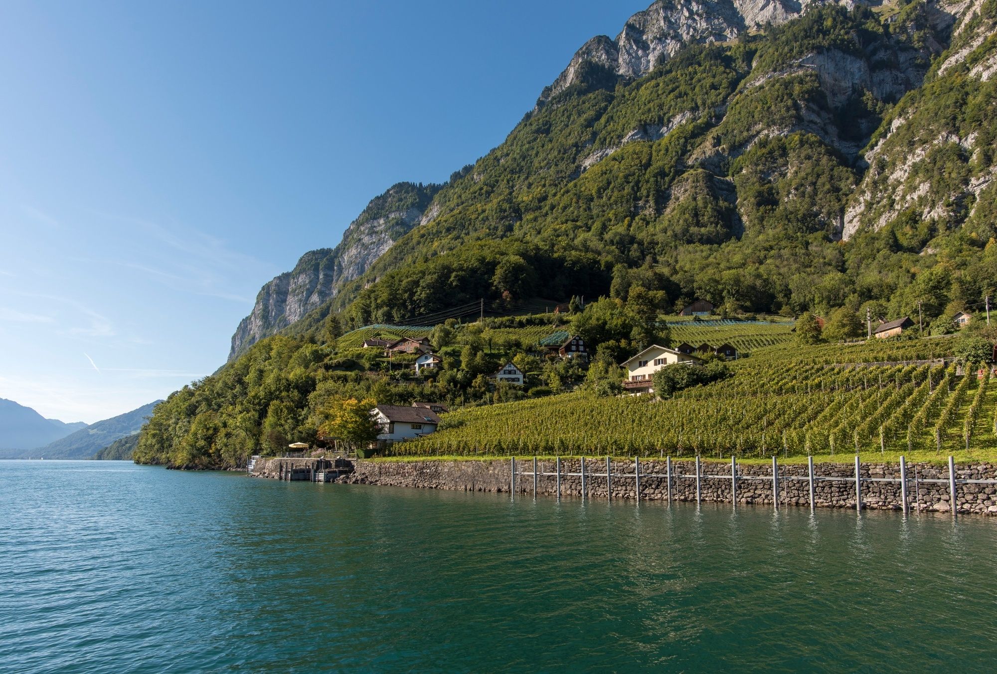
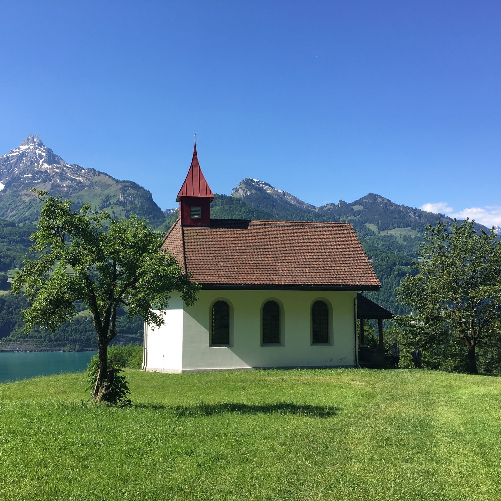
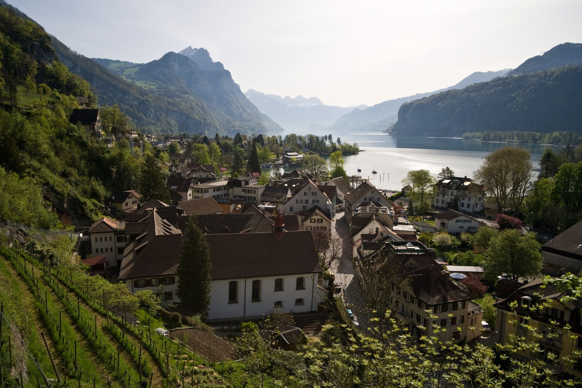
The popular hiking route on the southern shore of Lake Walen leads to car-free villages and past stunning waterfalls.
- Dificultad
-
difícil
- Valoración
-
- Ruta
-
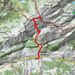
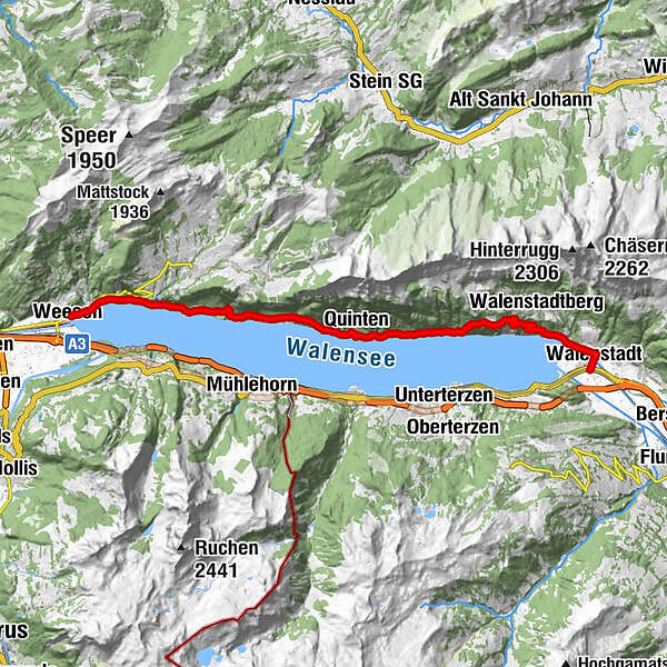
Weesen (423 m)Weesen (See) (424 m)0,0 kmLago Mio1,8 kmMuslenfall2,9 kmStrahlegg3,9 kmBetlis4,0 kmVorderbetlis4,9 kmWasserfall5,2 kmSeeren5,7 kmTscherüti9,0 kmLaueli9,3 kmLaui9,4 kmGräppli9,7 kmGrappen9,7 kmStutz9,8 kmWannen9,9 kmQuinten (434 m)10,0 kmRebli10,0 kmTremondi10,0 kmQuinten (419 m)10,1 kmKapelle St. Bernhard10,1 kmSchifflände10,2 kmSeehus10,2 kmAu (434 m)11,1 kmSchilt11,8 kmGand12,7 kmGändli12,9 kmWalenstadt (427 m)20,2 kmReformierte Kirche20,3 kmWalenstadt (426 m)20,6 km
- La mejor temporada
-
enefebmarabrmayjunjulagosepoctnovdic
- Punto álgido
- 839 m
- Punto final
-
Walenstadt, Bahnhof
- Perfil alto
-
 © outdooractive.com

-

-
AutorLa gira Weesen - Quinten - Walenstadt es utilizado por outdooractive.com proporcionado.
GPS Downloads


Información general
Punto de avituallamiento
Flora
Vistas panorámicas