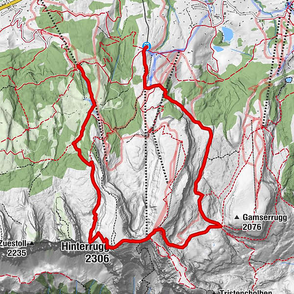
Iltios - Chäserrugg - Sellamatt - Alt St. Johann

Senderismo


- Breve descripción
-
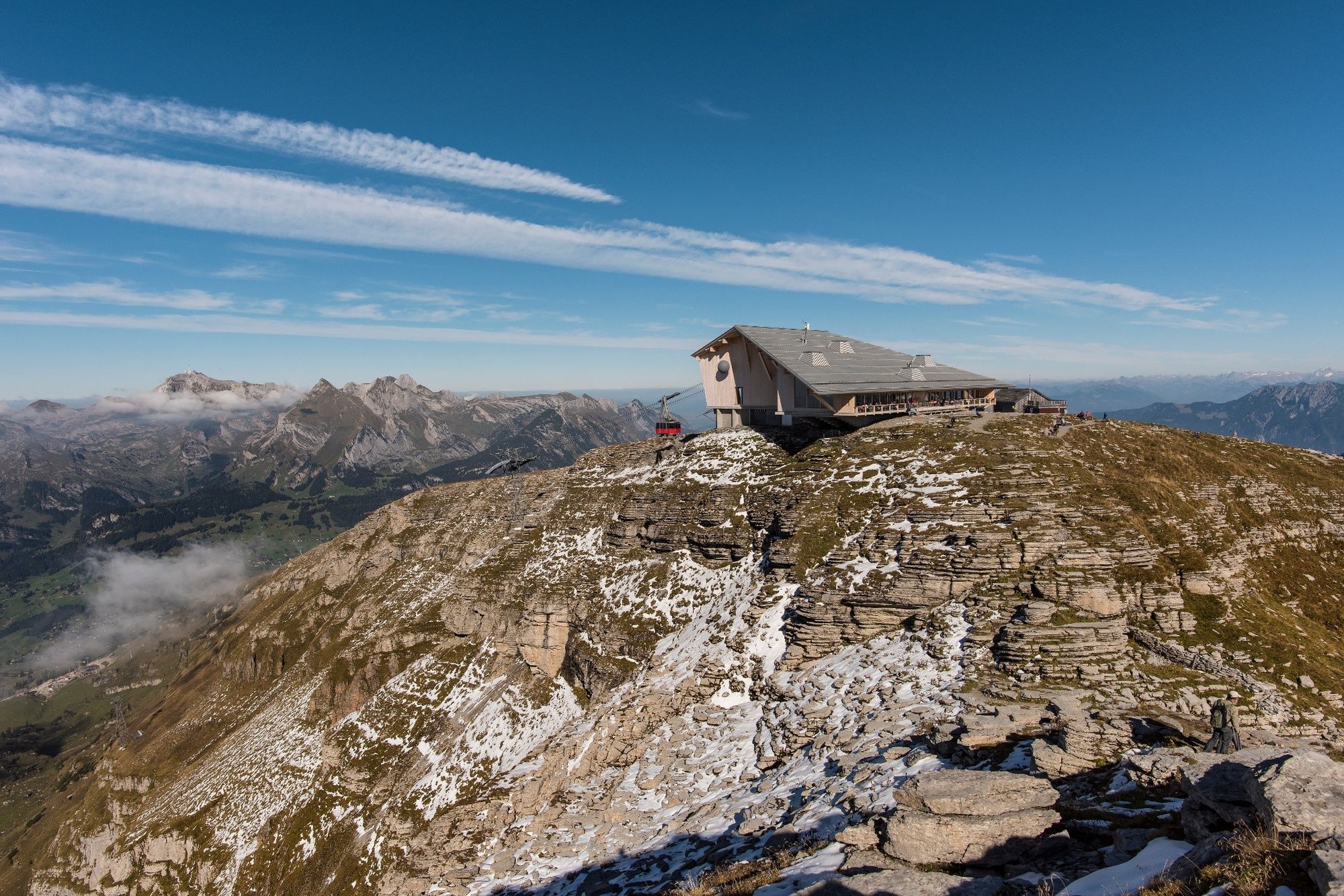
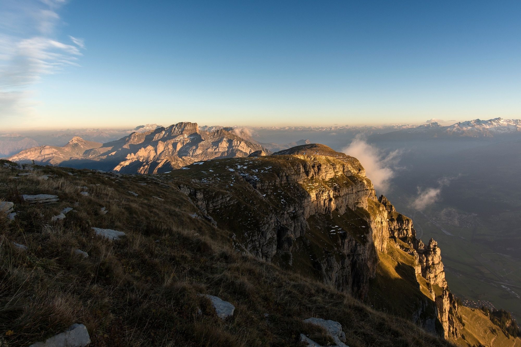
Bergwanderung, vor allem im Sommer und Herbst geeignet. Sehenswerte Flora im Juli und August. Im Herbst sind über dem Nebelmeer auch Steinböcke zu sehen
- Dificultad
-
difícil
- Valoración
-
- Ruta
-
Iltios (1.354 m)Bergrestaurant Iltios (1.350 m)Chäserrugg (2.262 m)6,5 kmGipfelrestaurant Chäserrugg (2.255 m)6,5 kmHinterrugg (2.306 m)7,1 kmPanorama9,7 kmHinter Lücheren10,3 kmAlp Sellamatt (1.435 m)11,3 kmBerggasthaus Sellamatt12,0 km
- Punto álgido
- 2.298 m
- Punto final
-
Alt St. Johann, Talstation
- Perfil alto
-
 © outdooractive.com
-

-
AutorLa gira Iltios - Chäserrugg - Sellamatt - Alt St. Johann es utilizado por outdooractive.com proporcionado.
GPS Downloads


Información general
Punto de avituallamiento
Flora
Fauna
Más circuitos por las regiones
-
Heidiland
2201
-
Walensee
917
-
Chäserrugg
262