- Breve descripción
-
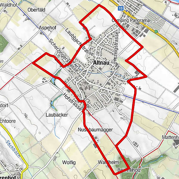
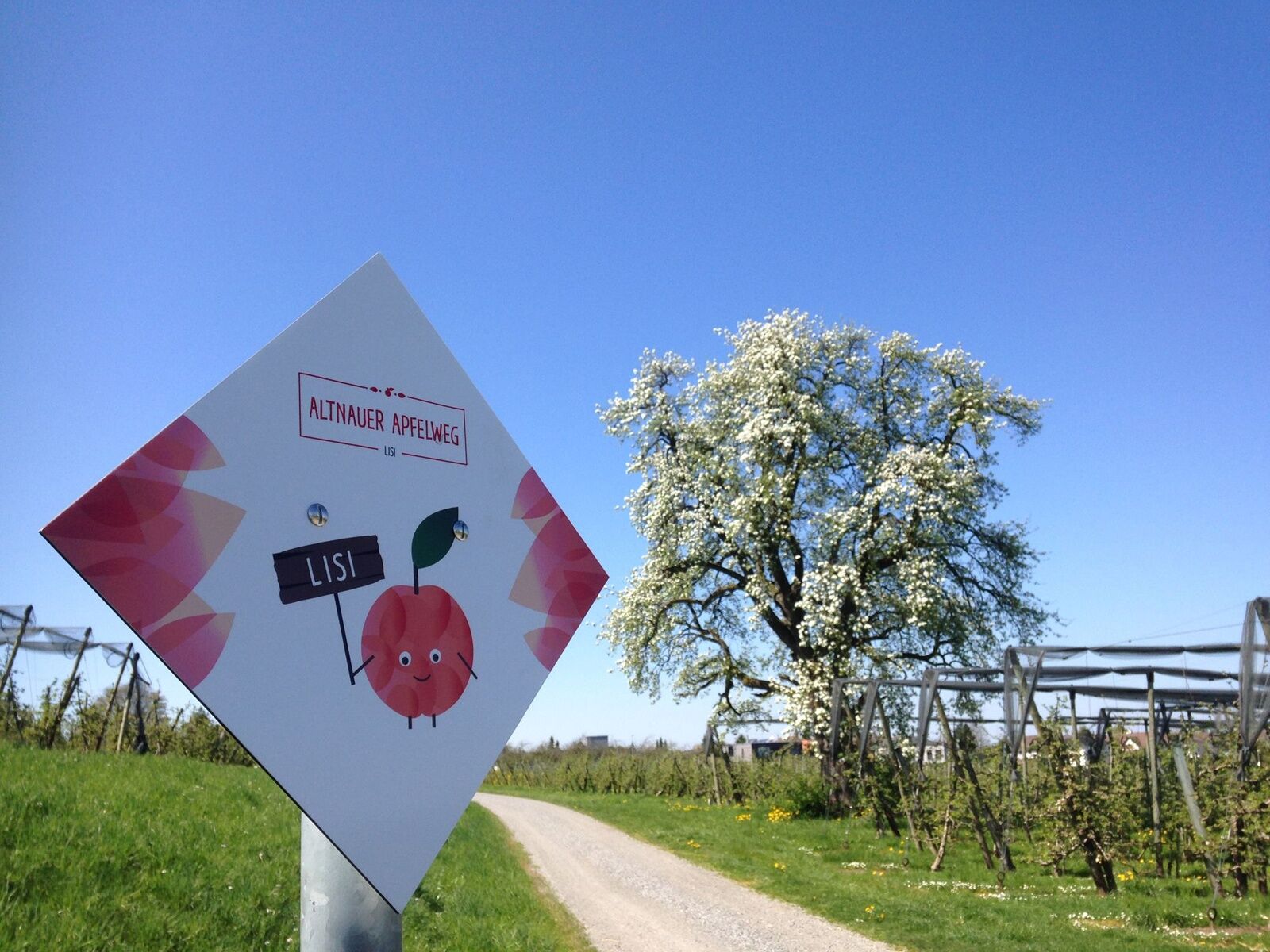
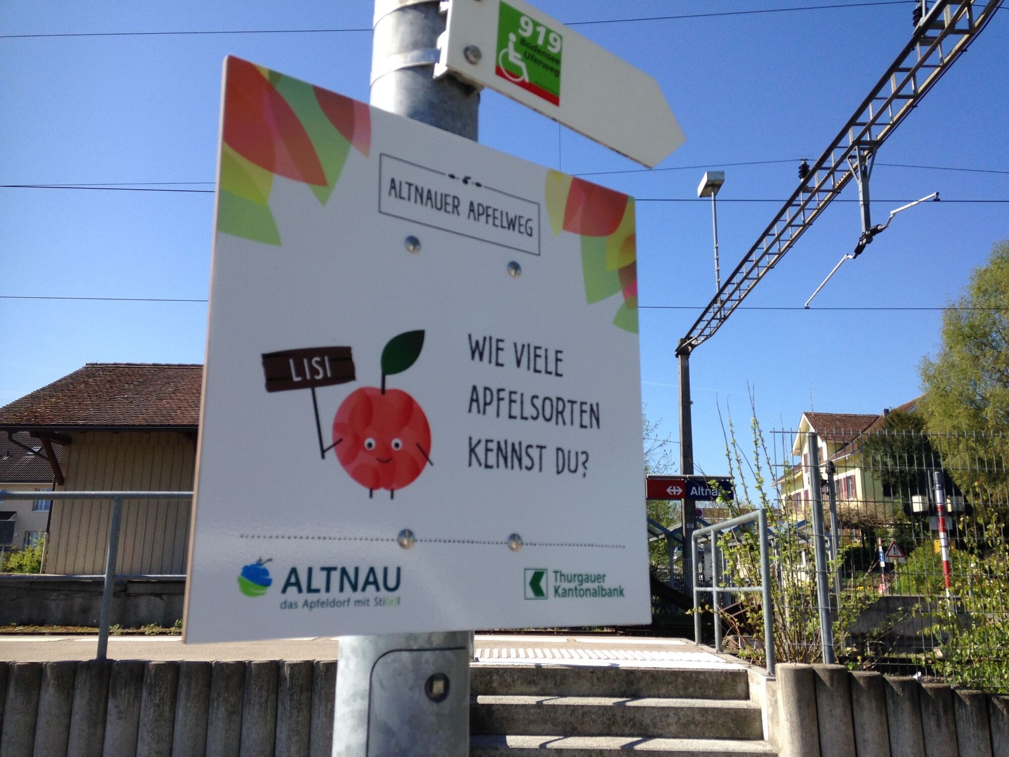
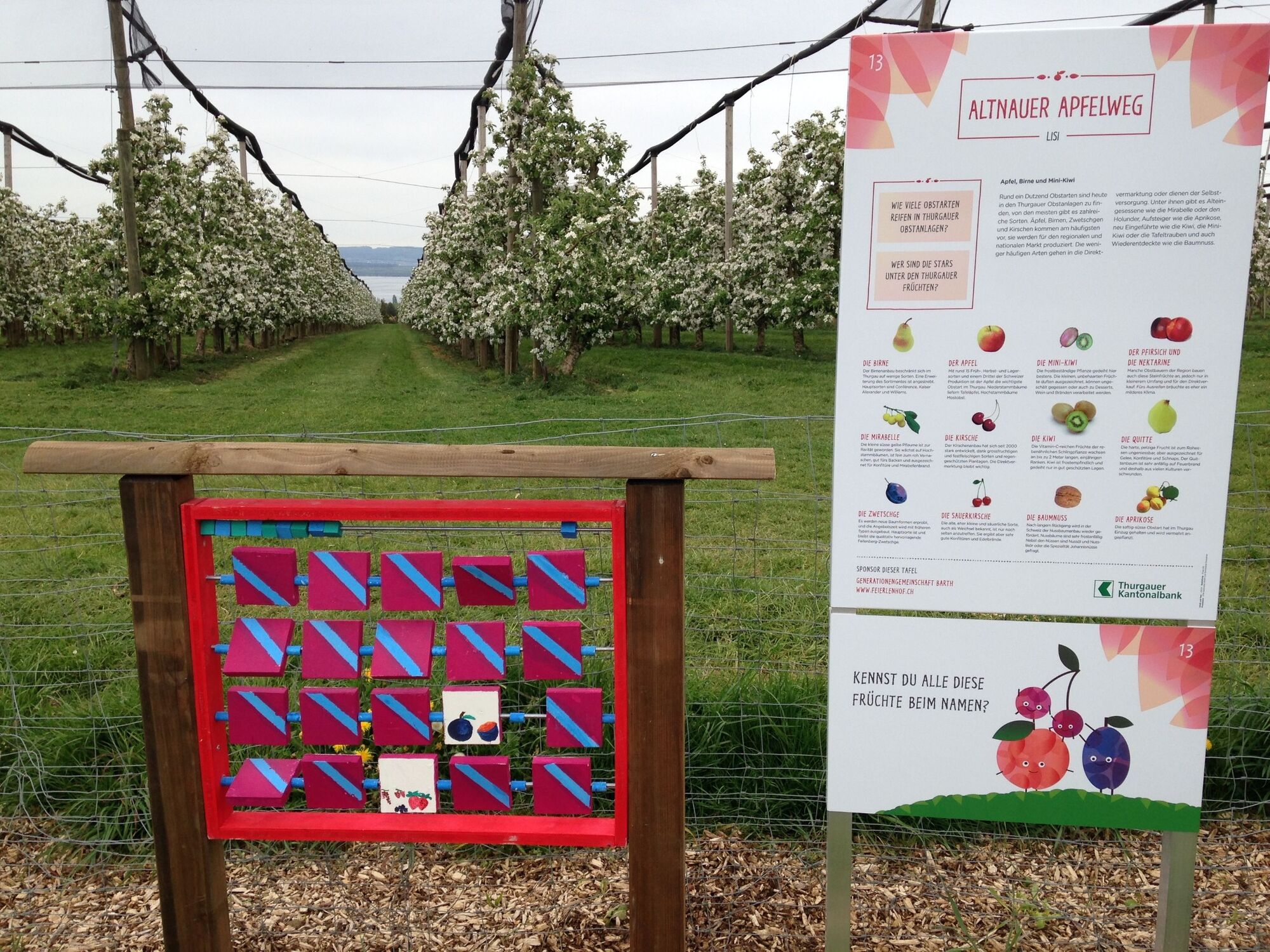
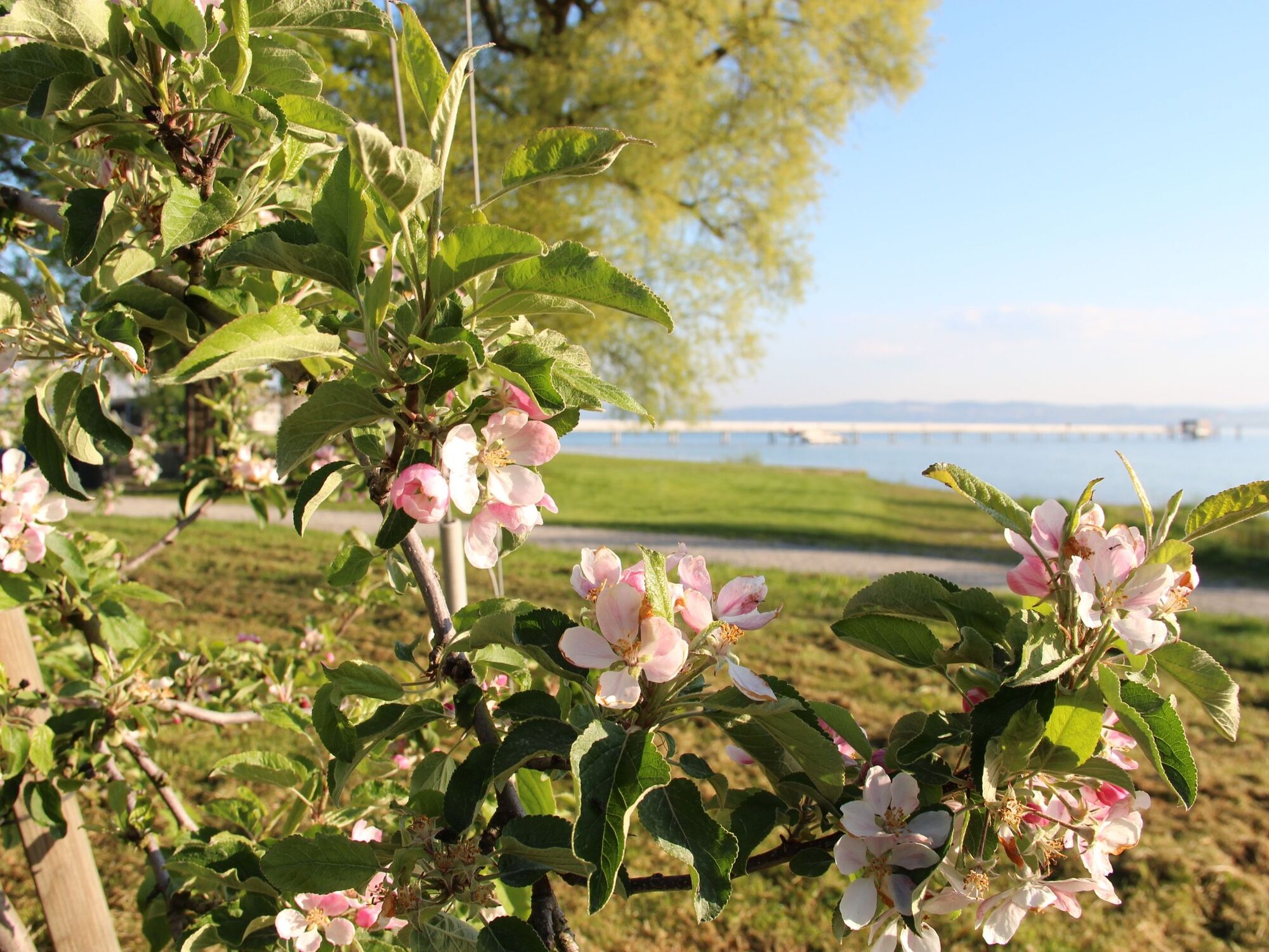
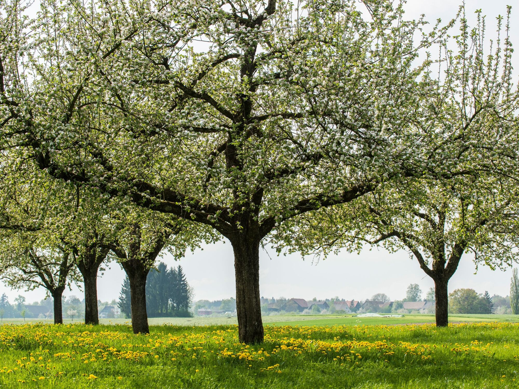
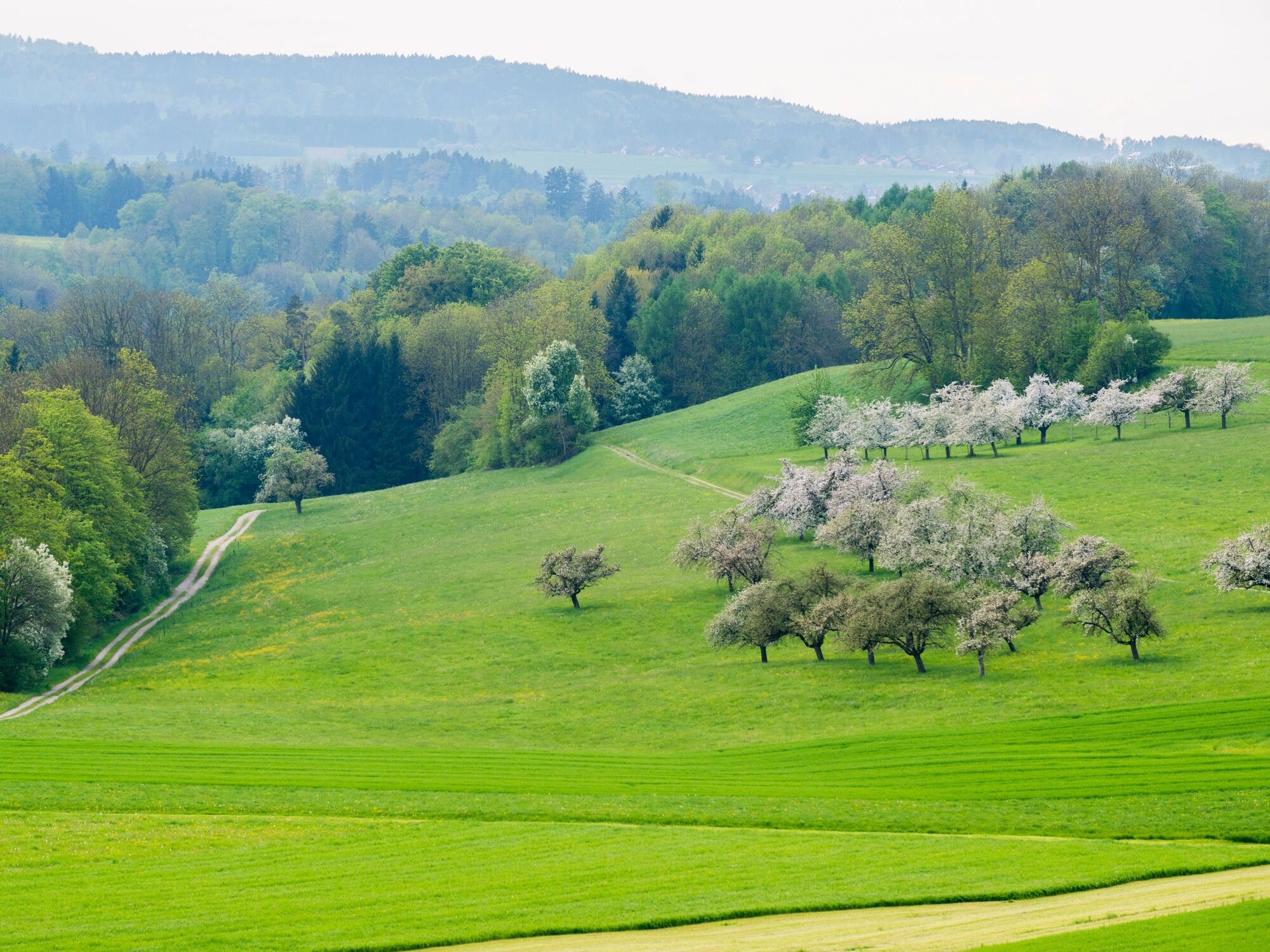
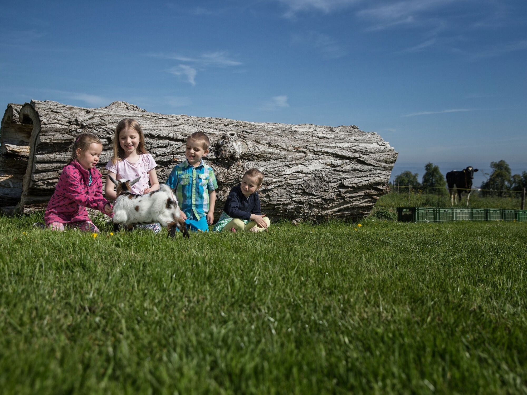
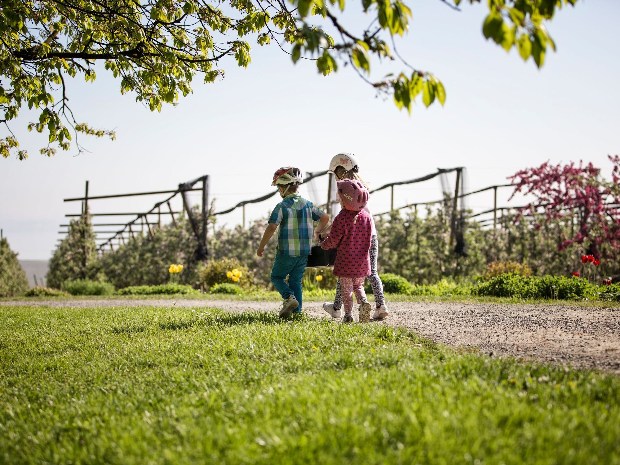
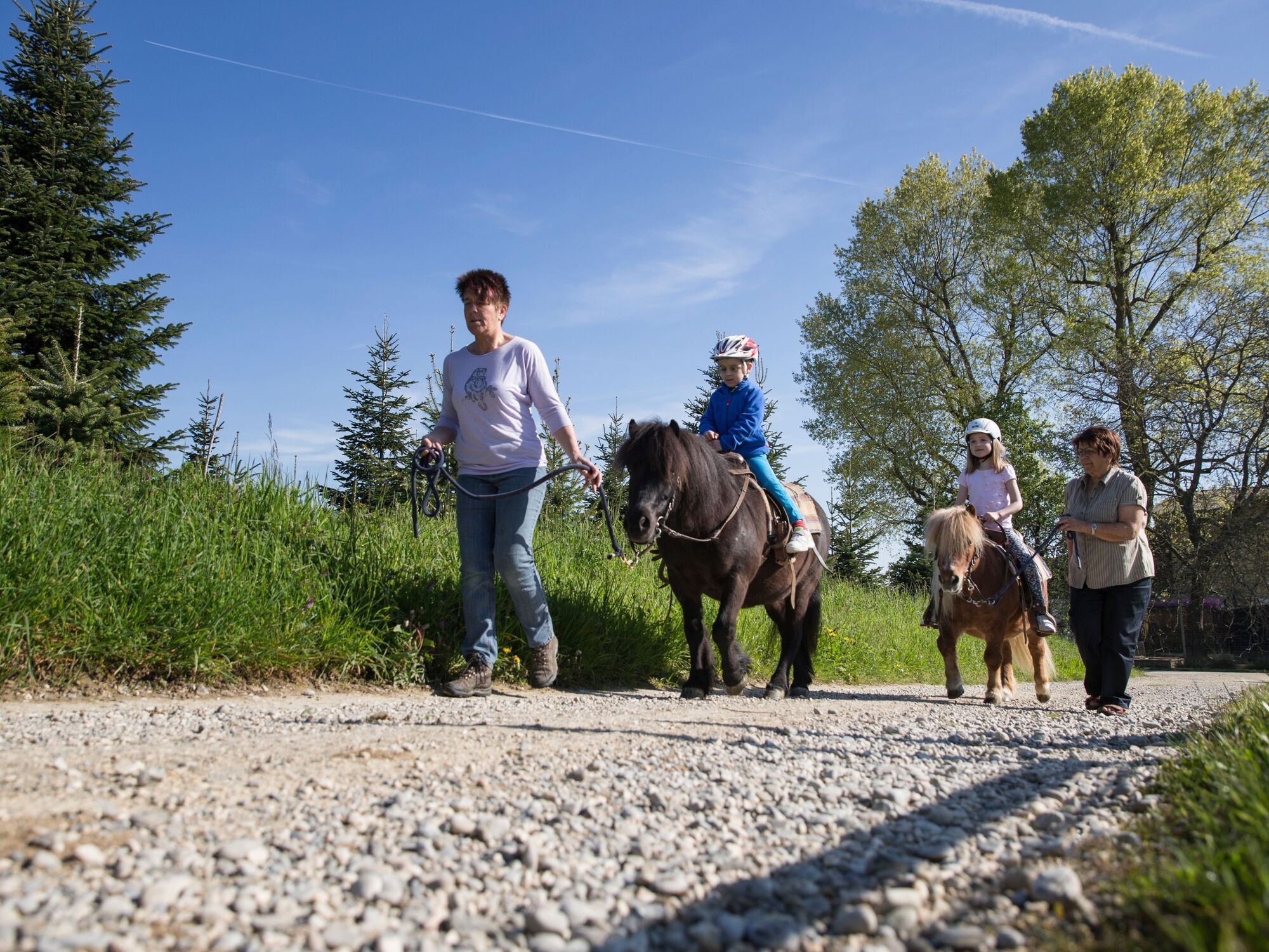
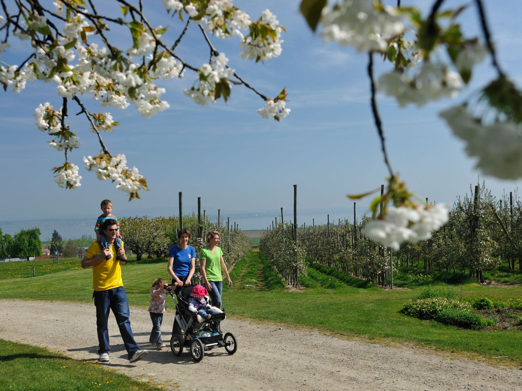
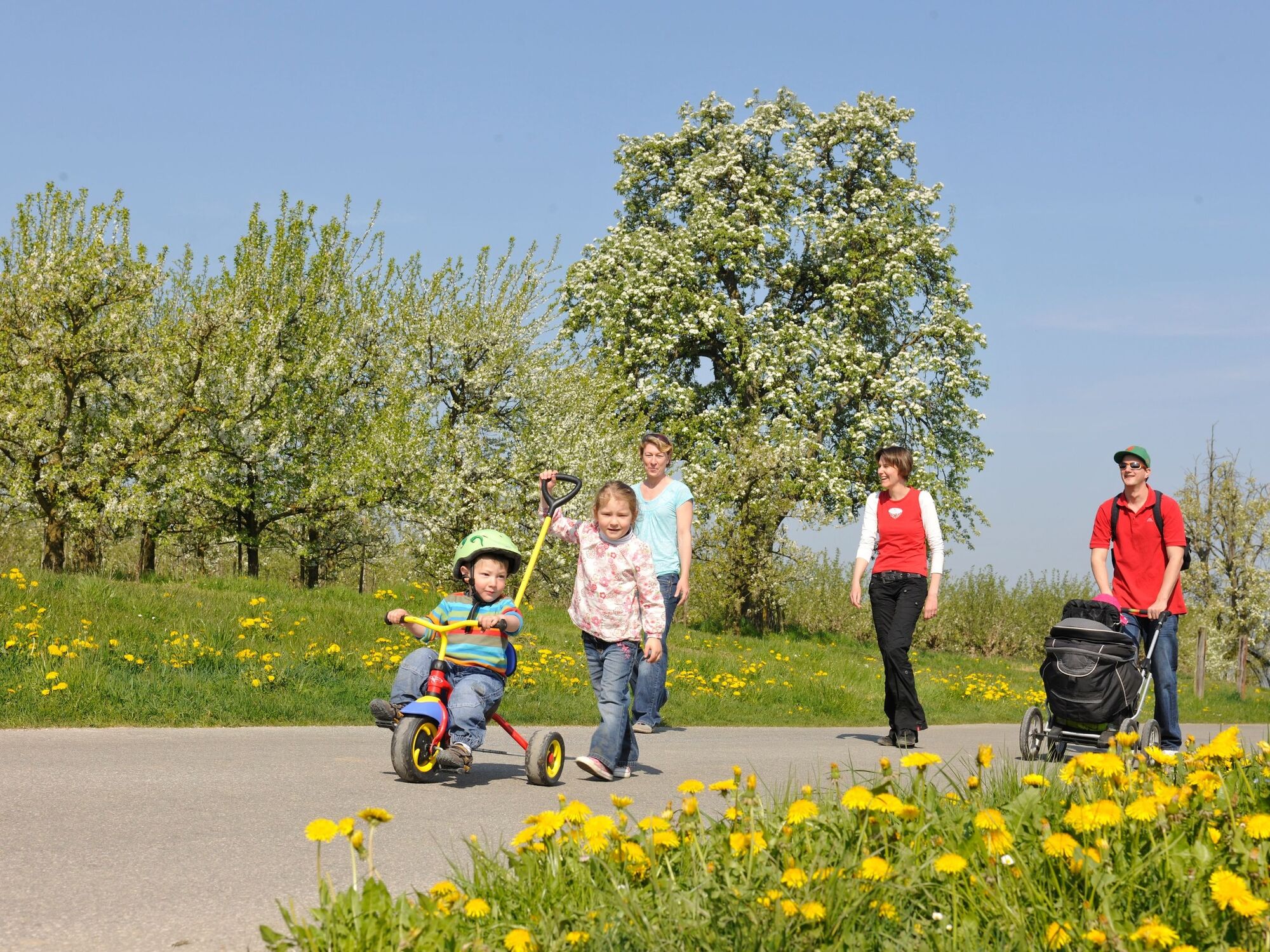
The Apple Path in Altnau tells with its 24 information boards and playing stations fascinating facts about fruit growing. Attractive resting spots invite for relaxing, playing and having a picnic. And the inns and «Besenbeizen» in the apple village Altnau offer mainly regional products.
- Dificultad
-
fácil
- Valoración
-
- Ruta
-
Altnau0,5 kmWaldheim3,2 kmKatholische Kirche4,1 kmUrs Wilhelm4,2 kmReformierte Kirche4,2 kmAltnau6,0 km
- La mejor temporada
-
enefebmarabrmayjunjulagosepoctnovdic
- Punto álgido
- 493 m
- Punto final
-
Altnau, Längiacker
- Perfil alto
-
 © outdooractive.com
- Autor
-
La gira The Apple Path of Altnau es utilizado por outdooractive.com proporcionado.
GPS Downloads


Información general
Punto de avituallamiento
Flora
Vistas panorámicas
Más circuitos por las regiones
-
Thurgau Bodensee
1434
-
Kreuzlingen
411
-
Altnau
73