- Breve descripción
-
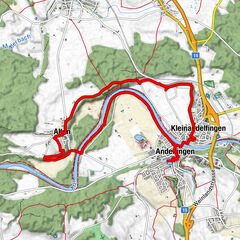
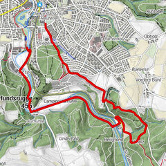
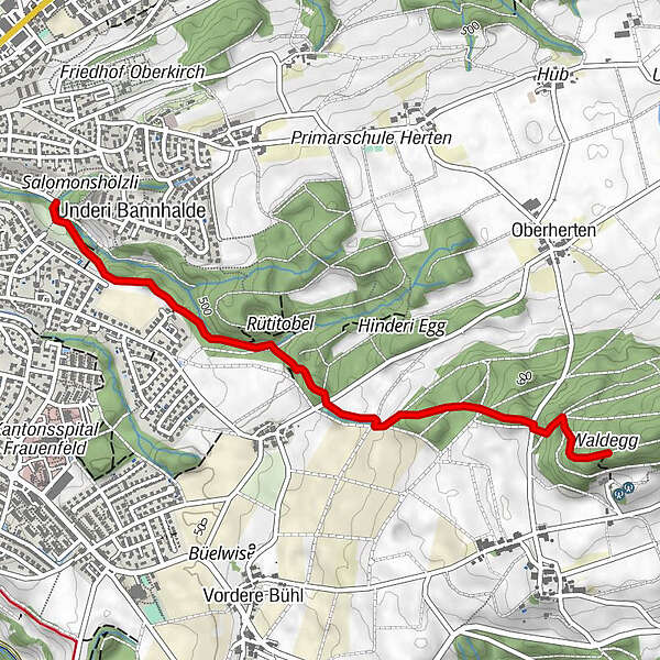
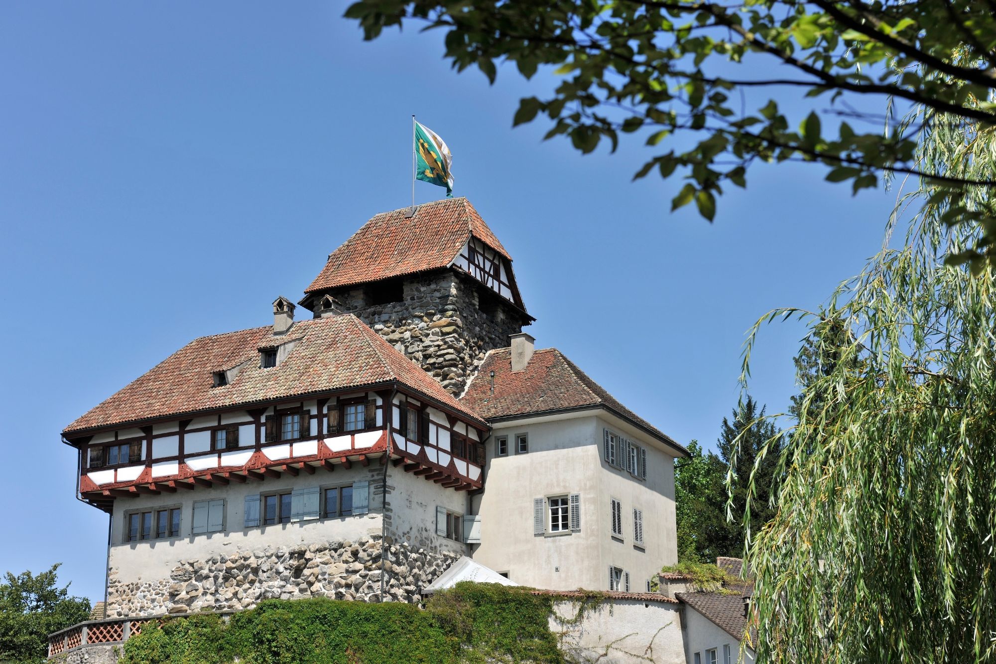
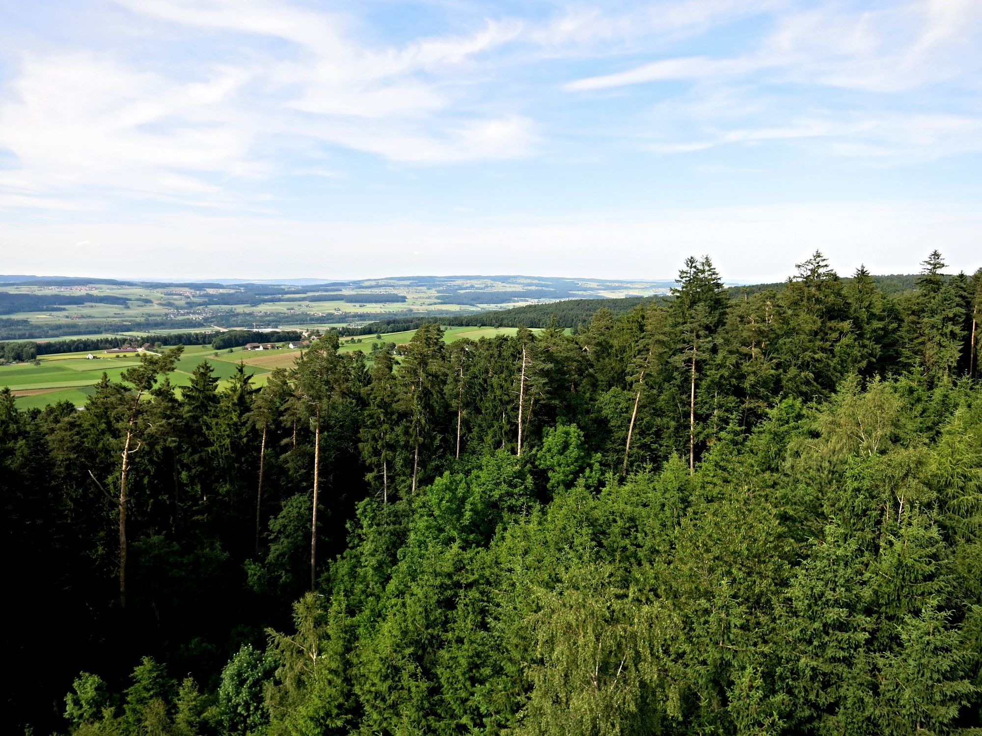
Der Pfad führt von Frauenfeld durch den Mühletobelwald hinauf zum Frauenfelder Hausberg, dem Stählibuck. Es werden die Waldarten, Gehölze, Sträucher mit Informationstafeln erklärt.
- Dificultad
-
fácil
- Valoración
-
- Ruta
-
Frauenfeld (417 m)0,0 kmMeiser0,0 km
- La mejor temporada
-
enefebmarabrmayjunjulagosepoctnovdic
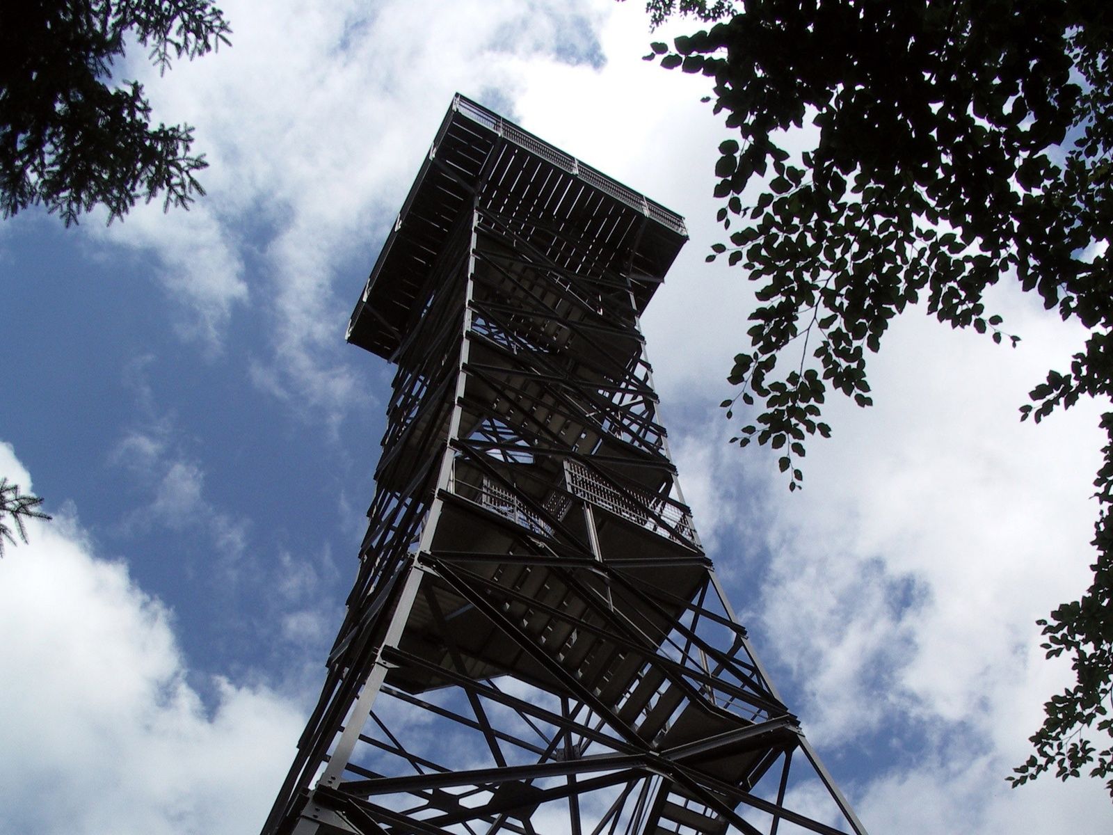
- Punto álgido
- 645 m
- Punto final
-
Frauenfeld, Stählibuck
- Perfil alto
-
 © outdooractive.com


- Autor
-
La gira Waldlehrpfad Mühletobel es utilizado por outdooractive.com proporcionado.
GPS Downloads


Información general
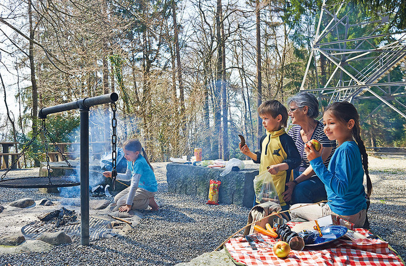
Punto de avituallamiento
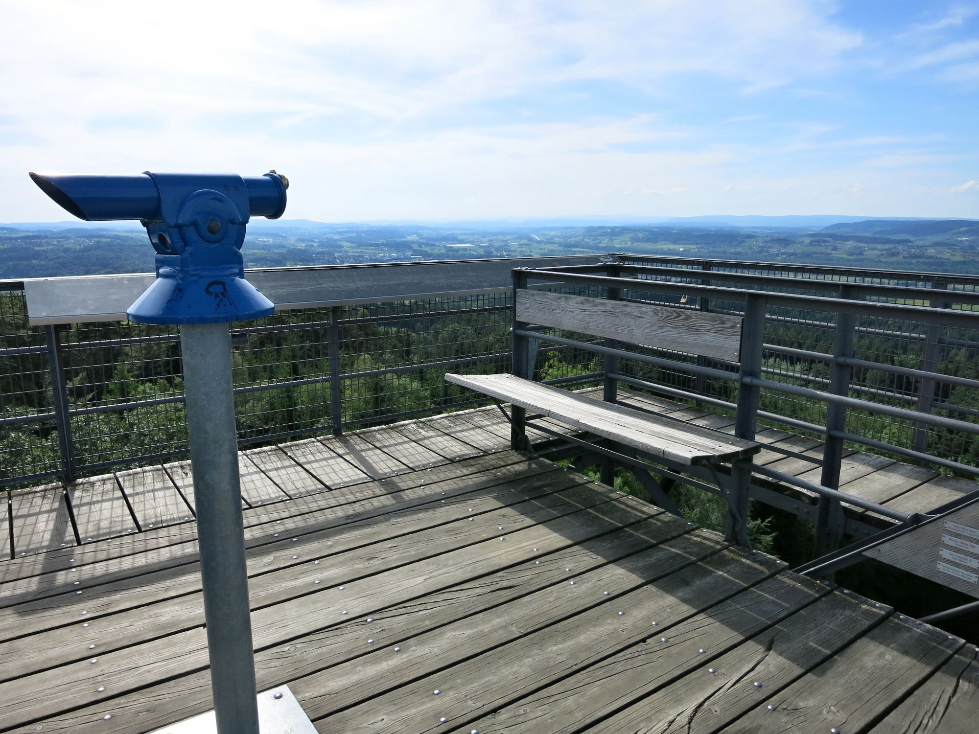
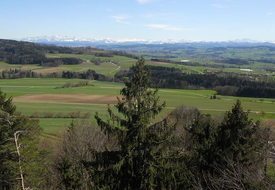
Vistas panorámicas
Más circuitos por las regiones
-
SchaffhauserLand
1027
-
Regio Frauenfeld
523
-
Frauenfeld
116