© VISIT Glarnerland AG - Fridolin Hösli

© VISIT Glarnerland AG - Fridolin Hösli
© VISIT Glarnerland AG - Fridolin Hösli

© VISIT Glarnerland AG - Gabriela Heer
© VISIT Glarnerland AG - Fridolin Hösli

© VISIT Glarnerland AG - Gabriela Heer
© VISIT Glarnerland AG - Fridolin Hösli

© VISIT Glarnerland AG - Gabriela Heer

© VISIT Glarnerland AG - Fridolin Hösli
- Breve descripción
-
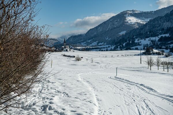
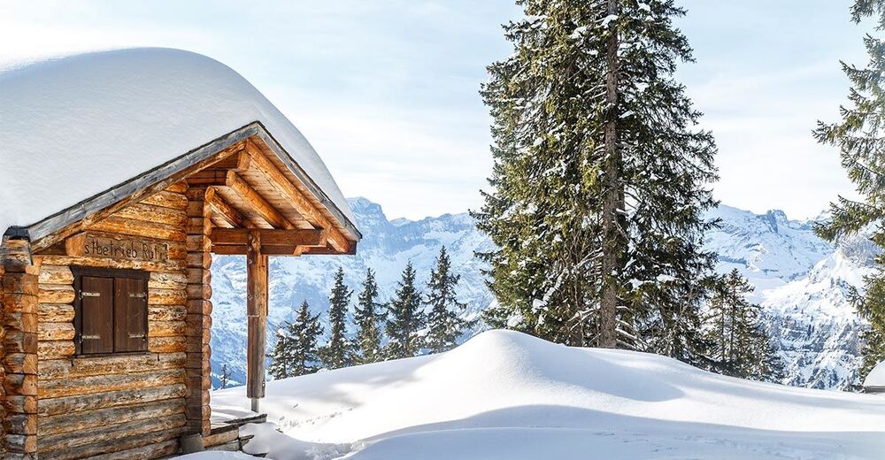
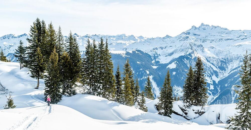
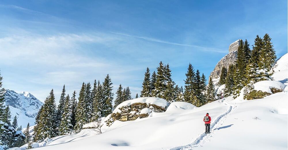
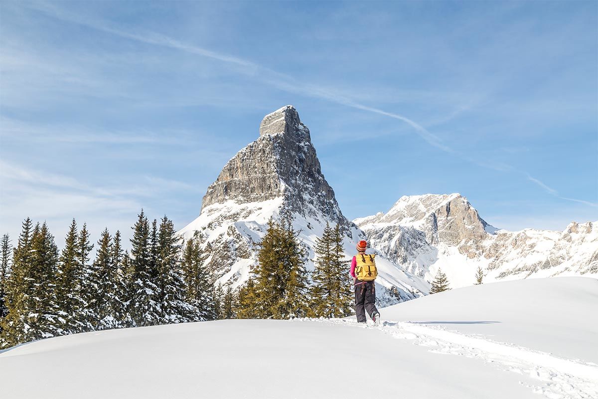
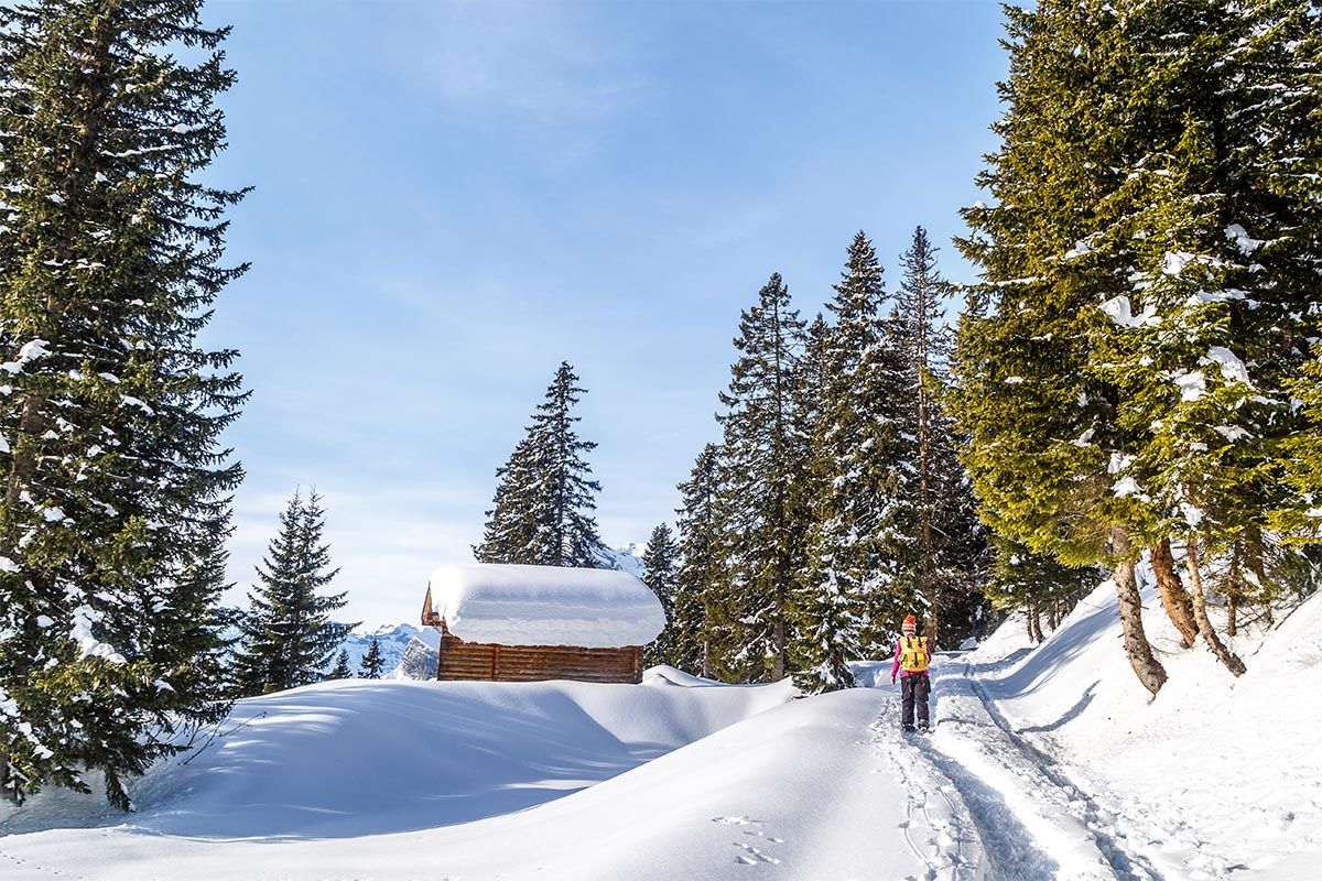
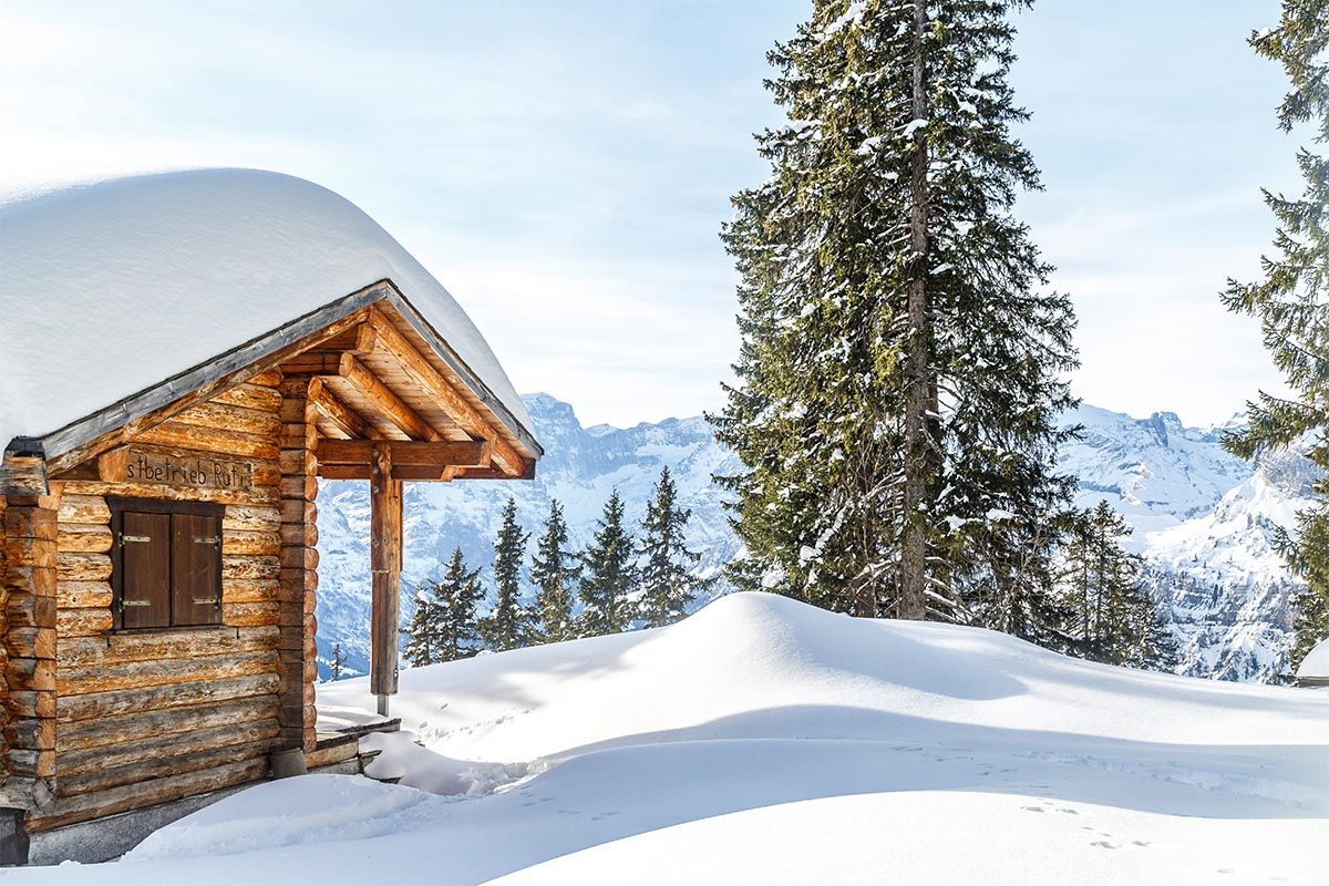
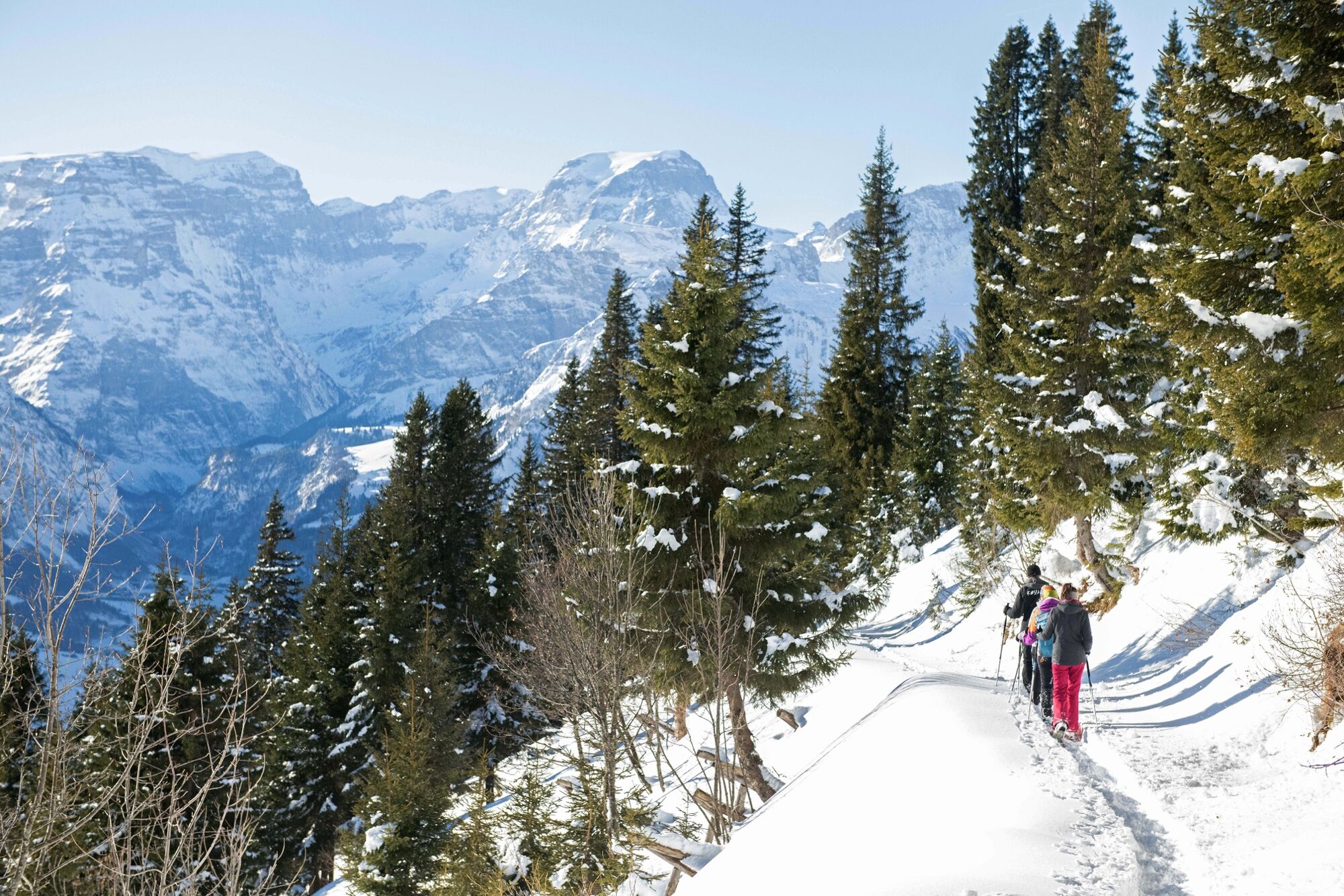
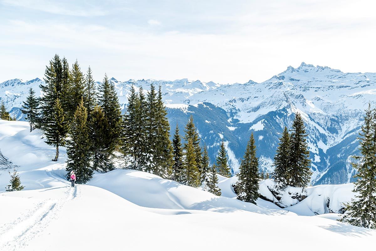
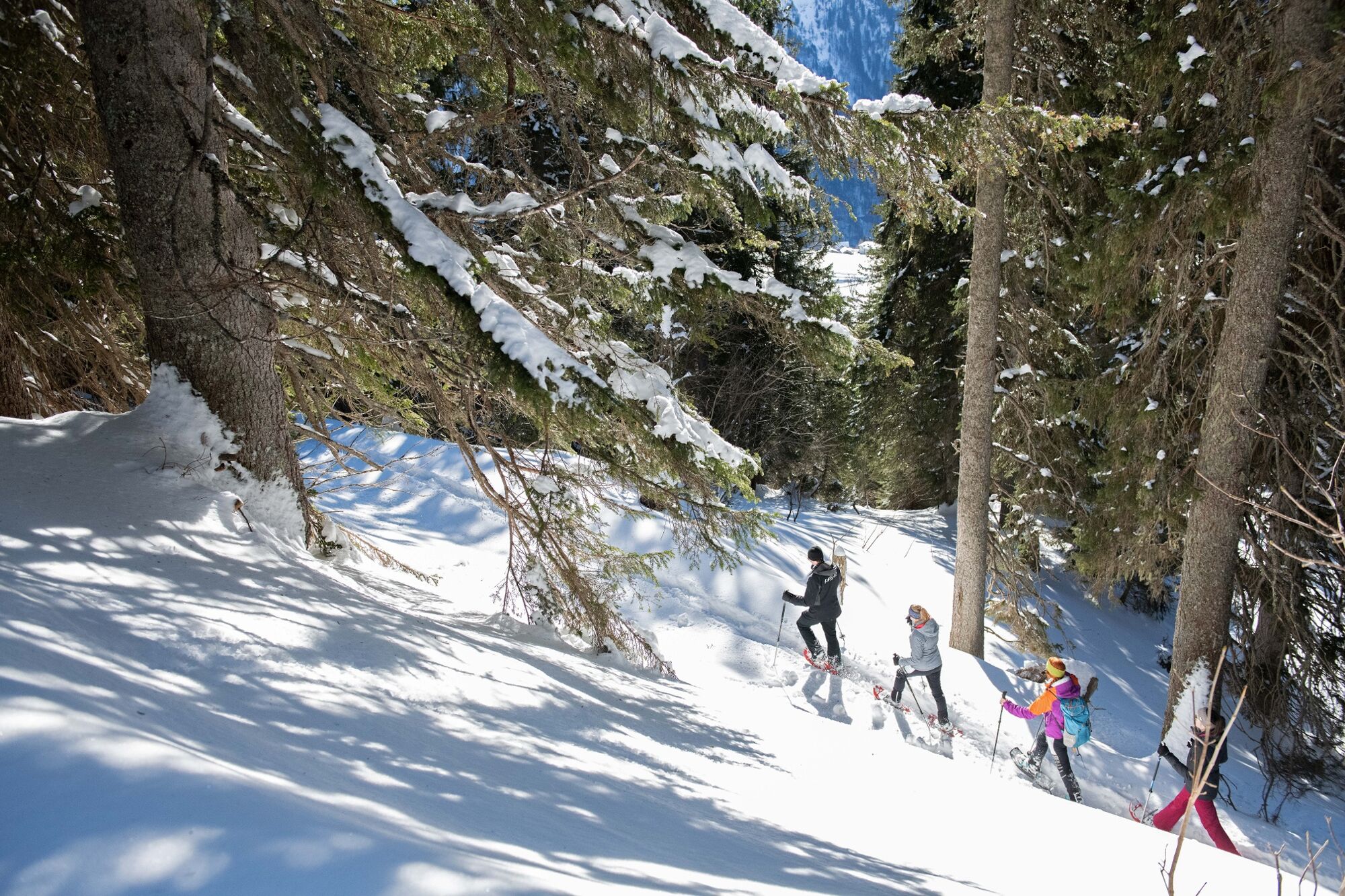
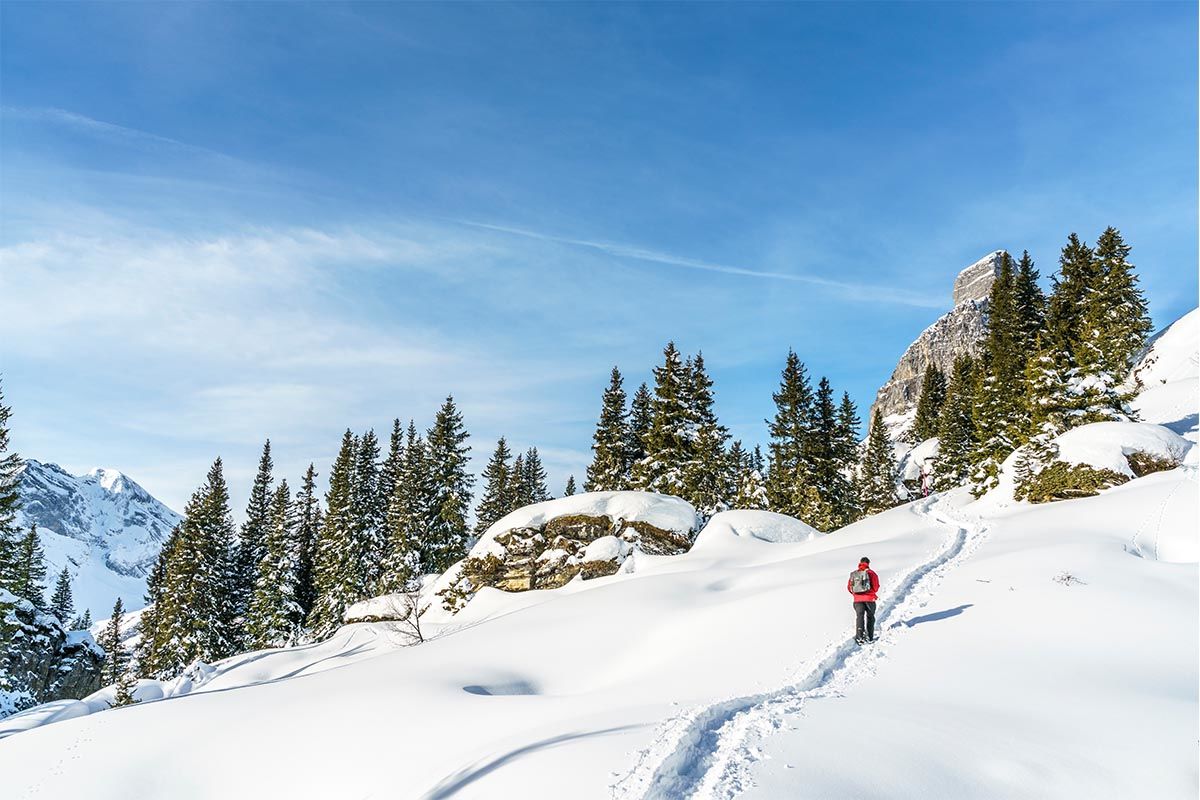
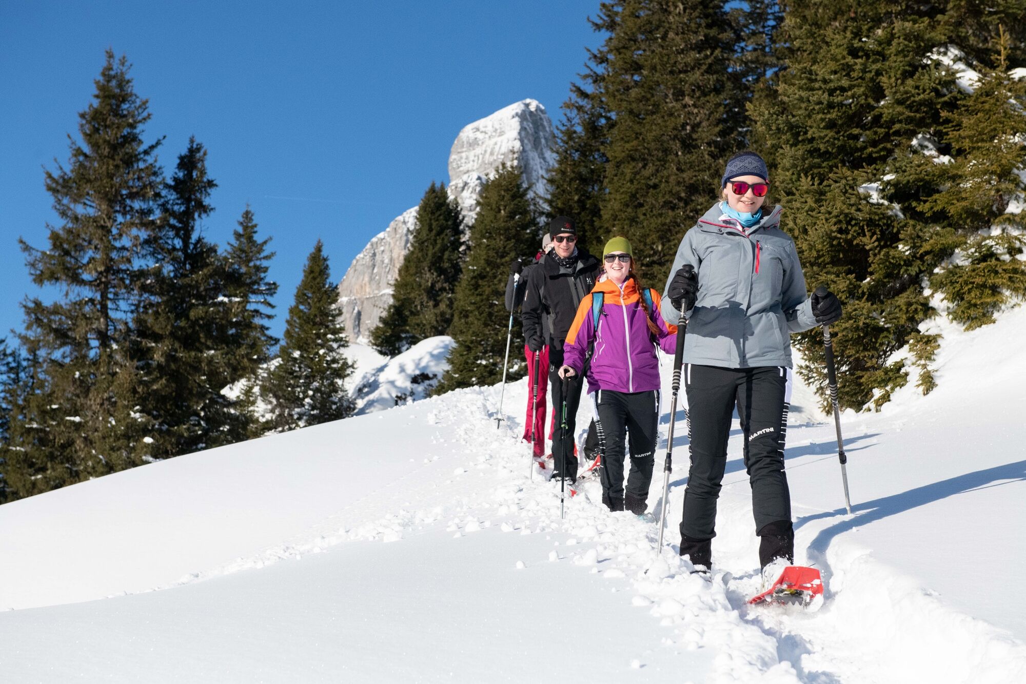
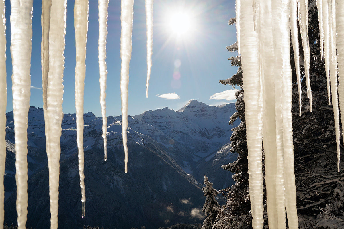
Exhilarating Winter Hike through the enchanting fairytale world of Braunwald with panoramic views of Tödi, the Ortstock and other Glarner peaks. An impressive ice gallery, hidden deep in the rock, facing the lowest gorge in Switzerland.
- Dificultad
-
medio
- Valoración
-
- Ruta
-
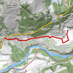
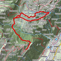
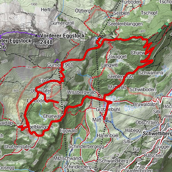
Chämistube0,0 kmGrotzenbühl0,1 kmRindenhüttli0,3 kmSeeblenstutz0,8 kmSeblen3,5 kmSeblengrat3,5 kmBergrestaurant Seblengrat3,7 kmBerggasthaus Gumen4,4 kmGumen (1.901 m)4,6 kmOberstafel5,4 kmBraunwaldalp6,0 kmZwergenschloss6,4 kmOrtstockhaus7,0 kmChängelblanggen7,6 kmChüewald8,0 kmEdelsteinspalte8,3 kmWissbergwald8,7 kmRindenhüttli9,1 kmChämistube9,3 kmGrotzenbühl9,4 km
- La mejor temporada
-
agosepoctnovdicenefebmarabrmayjunjul
- Punto álgido
- 1.903 m
- Punto final
-
Bergrestaurant Chämistube, Grotzenbüel
- Perfil alto
-
 © outdooractive.com
- Autor
-
La gira Panoramic Winter Hike es utilizado por outdooractive.com proporcionado.
GPS Downloads


Información general
Punto de avituallamiento
Más circuitos por las regiones
-
Glarnerland
247
-
Braunwald
154
-
Rüti GL
5