Herzroute - From the Appenzell region to the Rhine Valley


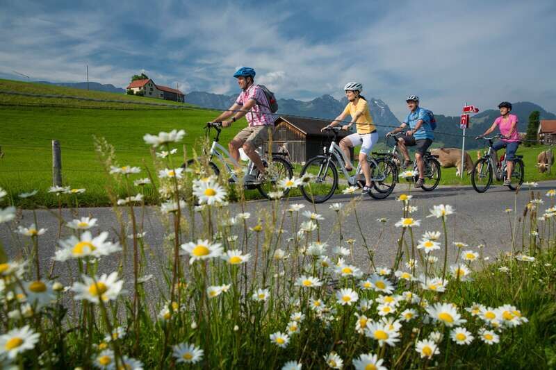
© Appenzellerland Tourismus AR - Jana Bacher

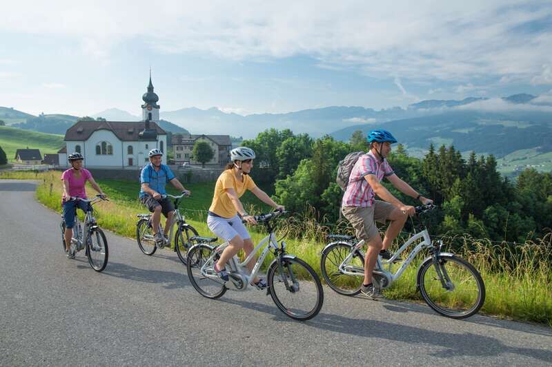
© Appenzellerland Tourismus AR - Jana Bacher

© Appenzellerland Tourismus AR - Jana Bacher
- Breve descripción
-
Die Herzroute beehrte die Region!
- Dificultad
-
medio
- Valoración
-
- Ruta
-
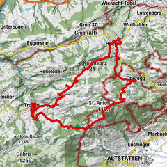
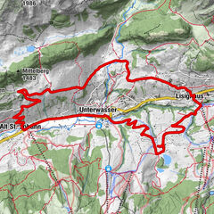
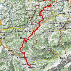
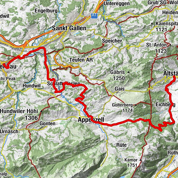
Evangelisch-reformierte Kirche0,6 kmHerisau (771 m)0,6 kmVineyard Herisau0,7 kmSankt Gallen (675 m)6,5 kmKapelle St. Wolfgang7,1 kmGasthaus Schäfli7,8 kmReformierte Kirche10,0 kmOchsen10,0 kmStein AR10,3 kmStöcken12,1 kmRestaurant Linde14,3 kmSchlatt-Haslen14,7 kmRestaurant Krone14,8 kmWallfahrtskirche Maria Hilf14,8 kmSankt Gallen (675 m)15,6 kmOberes Nördli16,8 kmVorderberg17,2 kmLeimensteig17,7 kmSchobel18,7 kmKatholische Kirche St.Josef20,1 kmAppenzell Schlatt20,1 kmRestaurant Anker21,7 kmKappelle St. Karl23,5 kmZiel24,3 kmSonnhalde24,9 kmLourdeskappelle24,9 kmAppenzell (778 m)25,3 kmWirtschaft Altes Bild29,2 kmEggerstanden (892 m)29,3 kmNeues Bild29,3 kmFuchsplatz36,4 kmOderen39,4 kmAu39,8 kmHinterforst42,0 kmMattenhof42,3 kmAltstätten45,3 kmAltstätten Stadt (469 m)45,4 km
- La mejor temporada
-
enefebmarabrmayjunjulagosepoctnovdic
- Punto álgido
- 980 m
- Punto final
-
Altstätten
- Perfil alto
-
 © outdooractive.com

- Autor
-
La gira Herzroute - From the Appenzell region to the Rhine Valley es utilizado por outdooractive.com proporcionado.
GPS Downloads


Información general
Punto de avituallamiento
Vistas panorámicas
Más circuitos por las regiones
-
Appenzellerland
236
-
Appenzell Ausserrhoden
106
-
Bühler
37