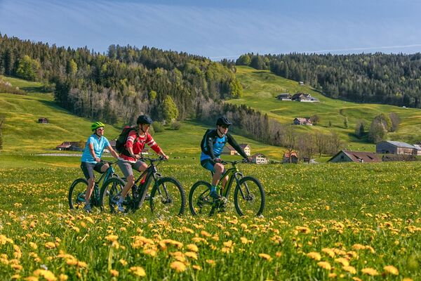
© Appenzellerland Tourismus AR - René Niederer

© Appenzellerland Tourismus AR - Peter Eggenberger
- Breve descripción
-
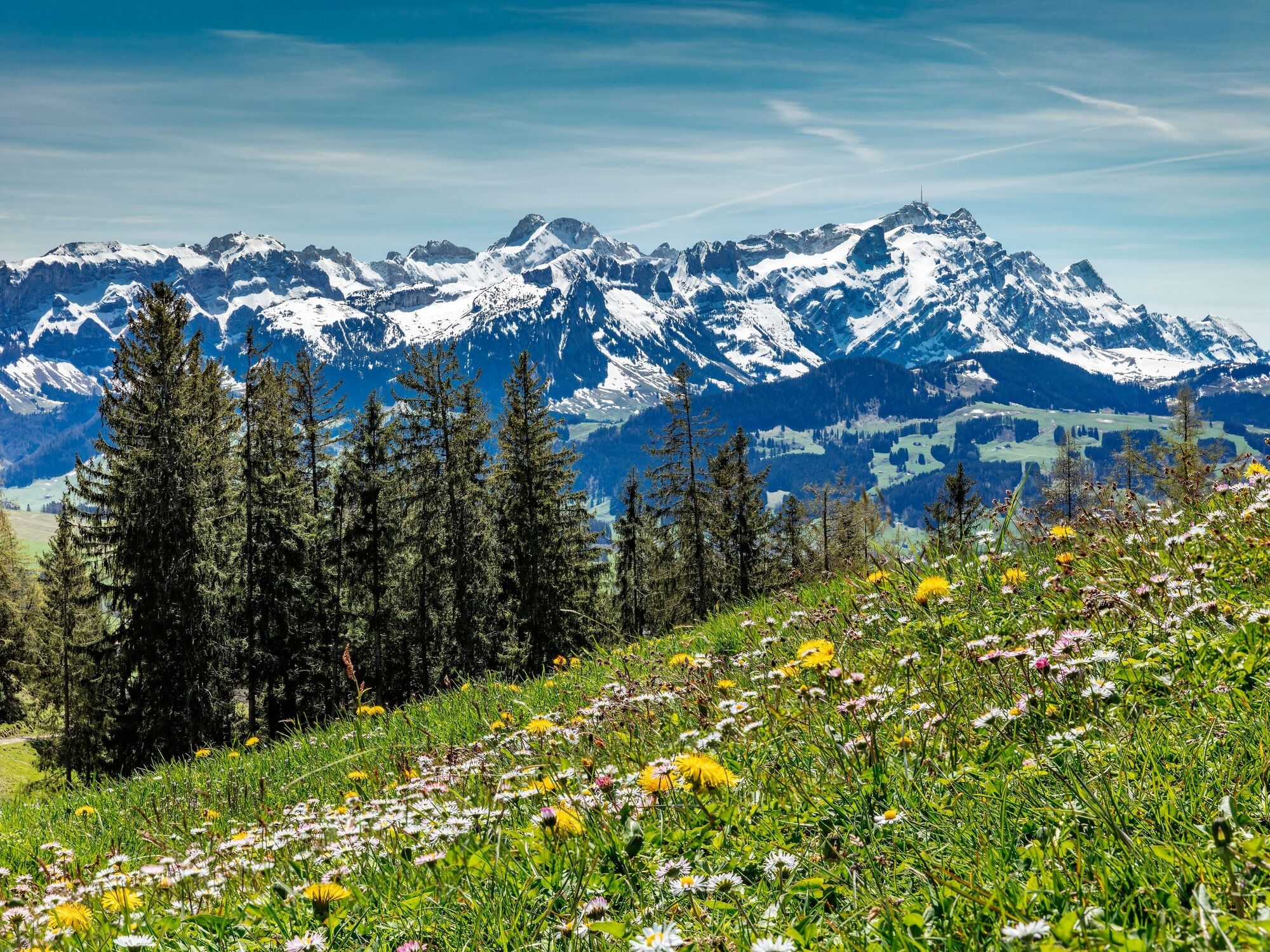
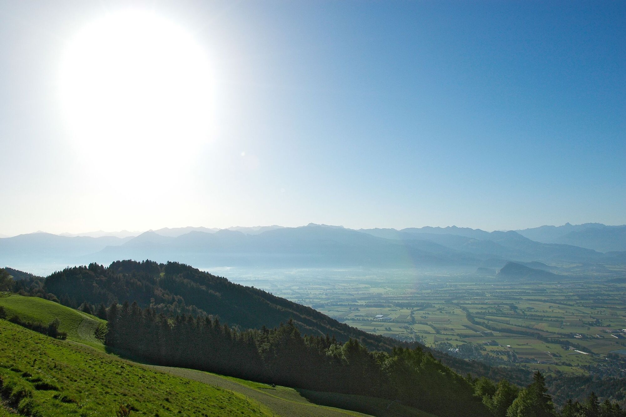
A route peppered with beautiful paths and great views.
- Ruta
-
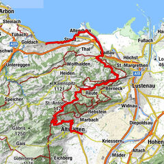
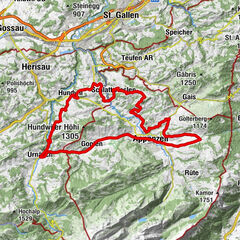
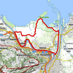
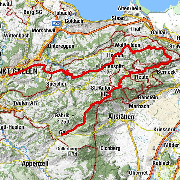
Gais (915 m)0,0 kmPfarrei St. Michael0,1 kmHotel zur Krone0,2 kmGais (933 m)0,3 kmFalken0,3 kmReformierte Kirche Gais0,3 kmLandmark7,2 kmGasthaus Landmark7,2 kmzum Wilden Mann9,2 kmSt. Anton (1.123 m)9,8 kmSt. Anton10,0 kmKapelle St. Anton10,1 kmSt.Anton10,3 kmOberegg (870 m)13,2 kmSchachen (815 m)14,2 kmBüriswilen18,7 kmSternen18,9 kmWilen19,8 kmEvangelische Kirche22,0 kmWalzenhausen22,2 kmCafé Restaurant Bahnhof22,2 kmHarmonie25,0 kmReformierte Kirche27,6 kmWolfhalden27,7 kmHeiden (794 m)29,3 kmHeiden30,1 kmRössli33,0 kmKaien33,2 kmSäntis34,3 kmDorf 535,1 kmPost35,1 kmRehetobel35,2 kmLinde36,6 kmSonne40,4 kmSpeicherschwendi41,1 kmBären41,2 kmSchaugenhof43,1 kmReformierte Linsebühlkirche46,2 kmLinsebühl-Dreilinden46,4 kmSankt Gallen (675 m)47,1 km
- La mejor temporada
-
enefebmarabrmayjunjulagosepoctnovdic
- Punto álgido
- 1.179 m
- Punto final
-
St. Gallen
- Perfil alto
-
 © outdooractive.com
- Autor
-
La gira Appenzeller route stage 2 es utilizado por outdooractive.com proporcionado.
GPS Downloads


Información general
Punto de avituallamiento
Vistas panorámicas
Más circuitos por las regiones
-
St. Gallen - Bodensee
288
-
St. Gallen und Umgebung
139
-
Grub
56