© TV Nationalpark Region Ennstal

© TV Nationalpark Region Ennstal

- Breve descripción
-
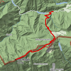
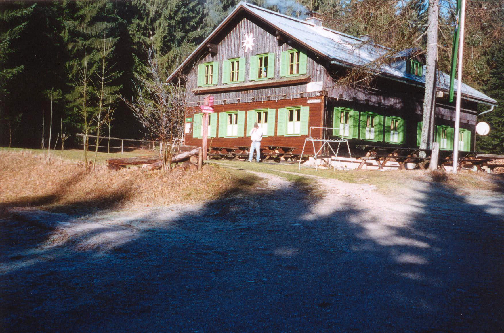
Circular trail to the Amstettner Hütte and via Oberland back to Gaflenz
- Dificultad
-
fácil
- Valoración
-
- Ruta
-
Kirche GaflenzGaflenz0,1 kmSteinleiten1,7 kmBürgertal2,0 kmschindlmoos5,0 kmAmstettner Hütte6,0 kmGasthaus Kases9,5 kmOberland9,5 kmGaflenz11,7 kmKirche Gaflenz11,8 km
- La mejor temporada
-
enefebmarabrmayjunjulagosepoctnovdic
- Punto álgido
- 977 m
- Punto final
-
Gaflenz
- Perfil alto
-

- Autor
-
La gira Amstettner Hütte (from Gaflenz) es utilizado por outdooractive.com proporcionado.
GPS Downloads


Información general
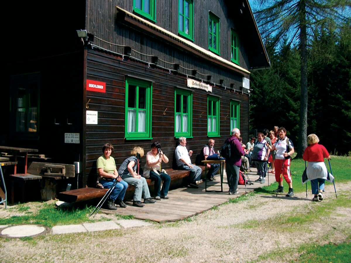
Punto de avituallamiento
Más circuitos por las regiones
-
Traunviertel
1940
-
Melker Alpenvorland
797
-
Gaflenz
282