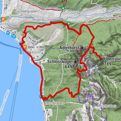
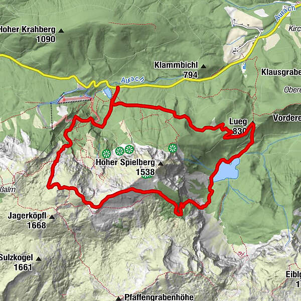
Taferlklause - Hochlecken - Brunnkogl - Schafalm - Langbathsee

Senderismo
© Robert Kukuljan - Robert Kukuljan 83661 Lenggries kukuljan
© Robert Kukuljan - Robert Kukuljan 83661 Lenggries kukuljan
Datos del tour
12,99km
734
- 1.678m
1.084hm
1.126hm
06:30h
- Breve descripción
-
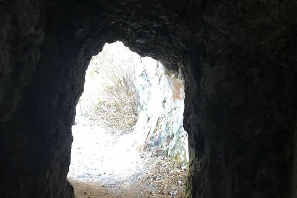
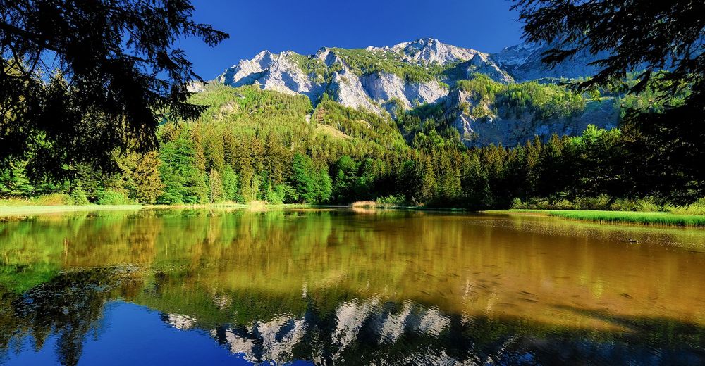
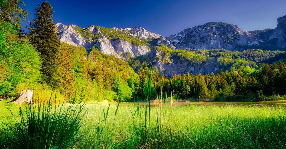
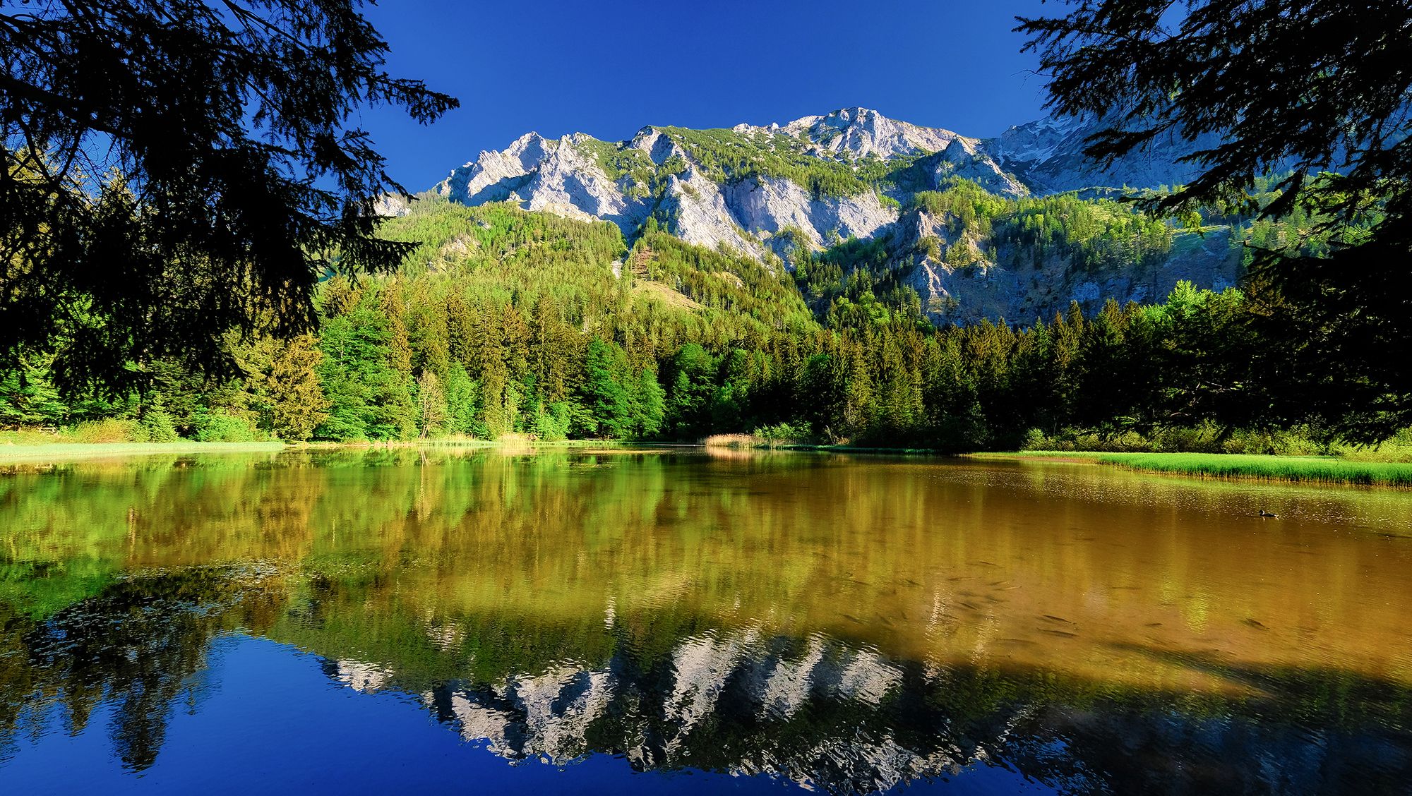
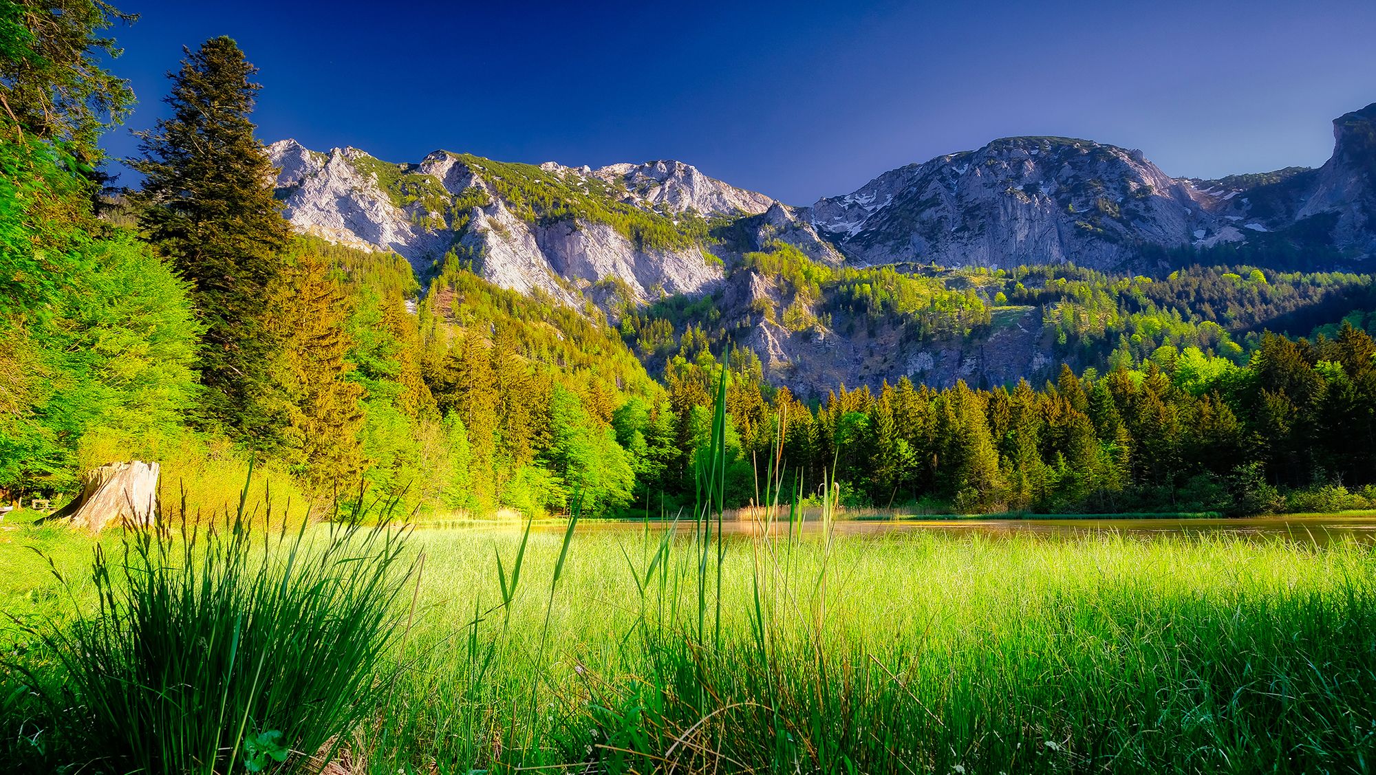
Alpine Bergwanderung mit steilen, schottrigen und felsigen Abschnitten im Höllengebirge.
- Dificultad
-
medio
- Valoración
-
- Ruta
-
TaferlklauseAurach Ursprung1,6 kmSt. Georgs Bründl2,1 kmVorderes Aurachkar2,3 kmHochleckenkogel (1.691 m)4,0 kmMathias Kogl (1.668 m)4,4 kmKnochenschacht am Brunnkogel4,8 kmBrunnkogel (1.708 m)4,9 kmSchaflucke6,5 kmLueg (830 m)9,3 kmTaferlklause12,9 km
- La mejor temporada
-
enefebmarabrmayjunjulagosepoctnovdic
- Punto álgido
- Brunnkogl (1.678 m)
GPS Downloads


Más circuitos por las regiones