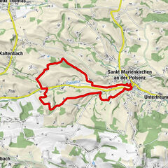
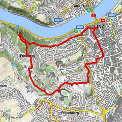
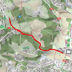
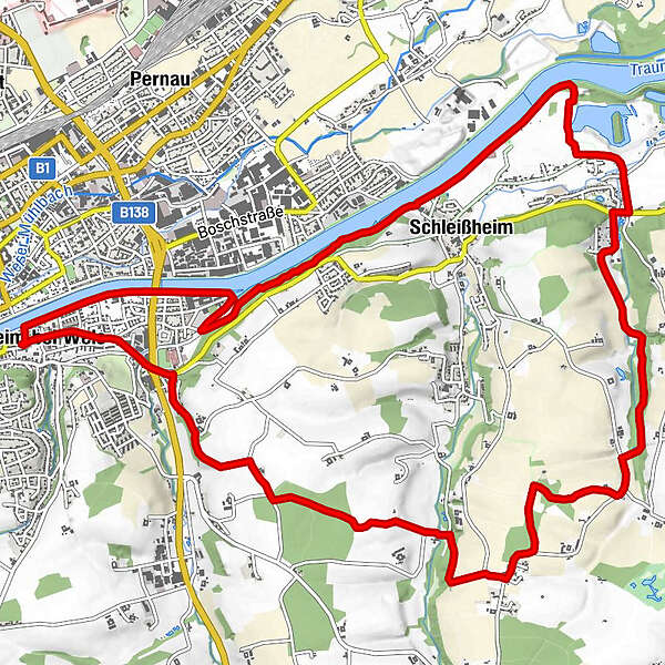
Thalheim - Schleißheim - Blindenmarkt - Ottsdorf - Thalheim

Senderismo
Datos del tour
16,27km
299
- 381m
118hm
123hm
04:04h
- Breve descripción
-
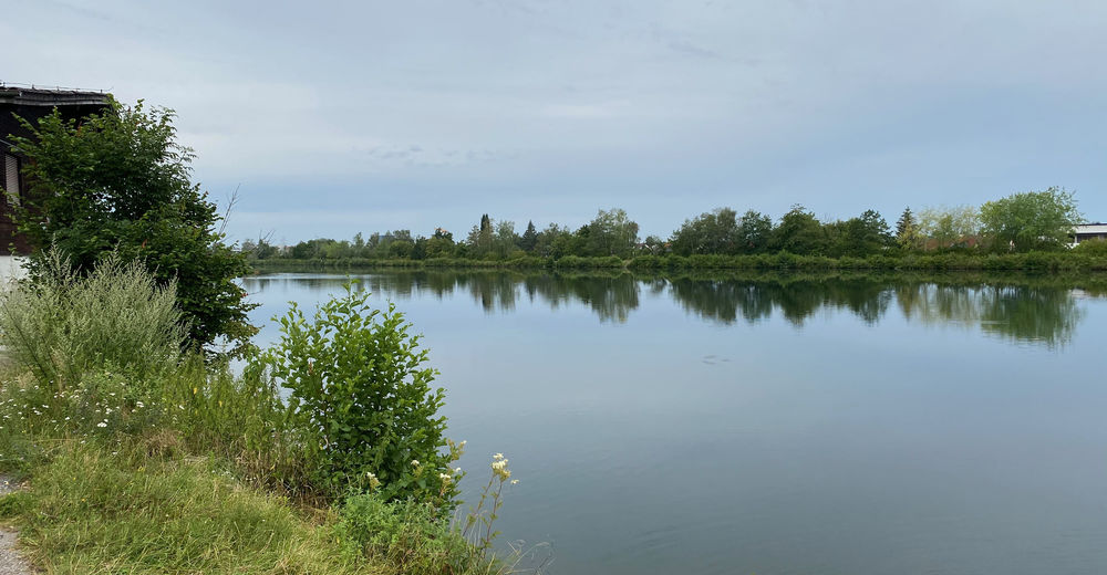
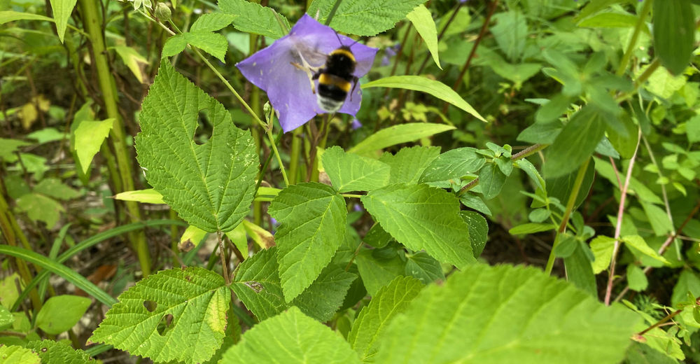
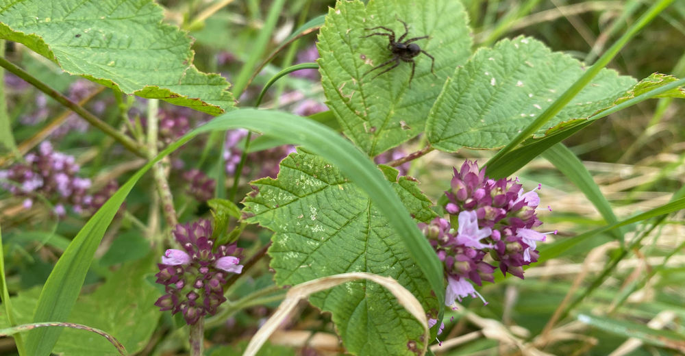
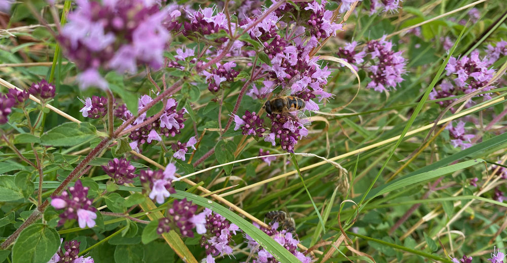
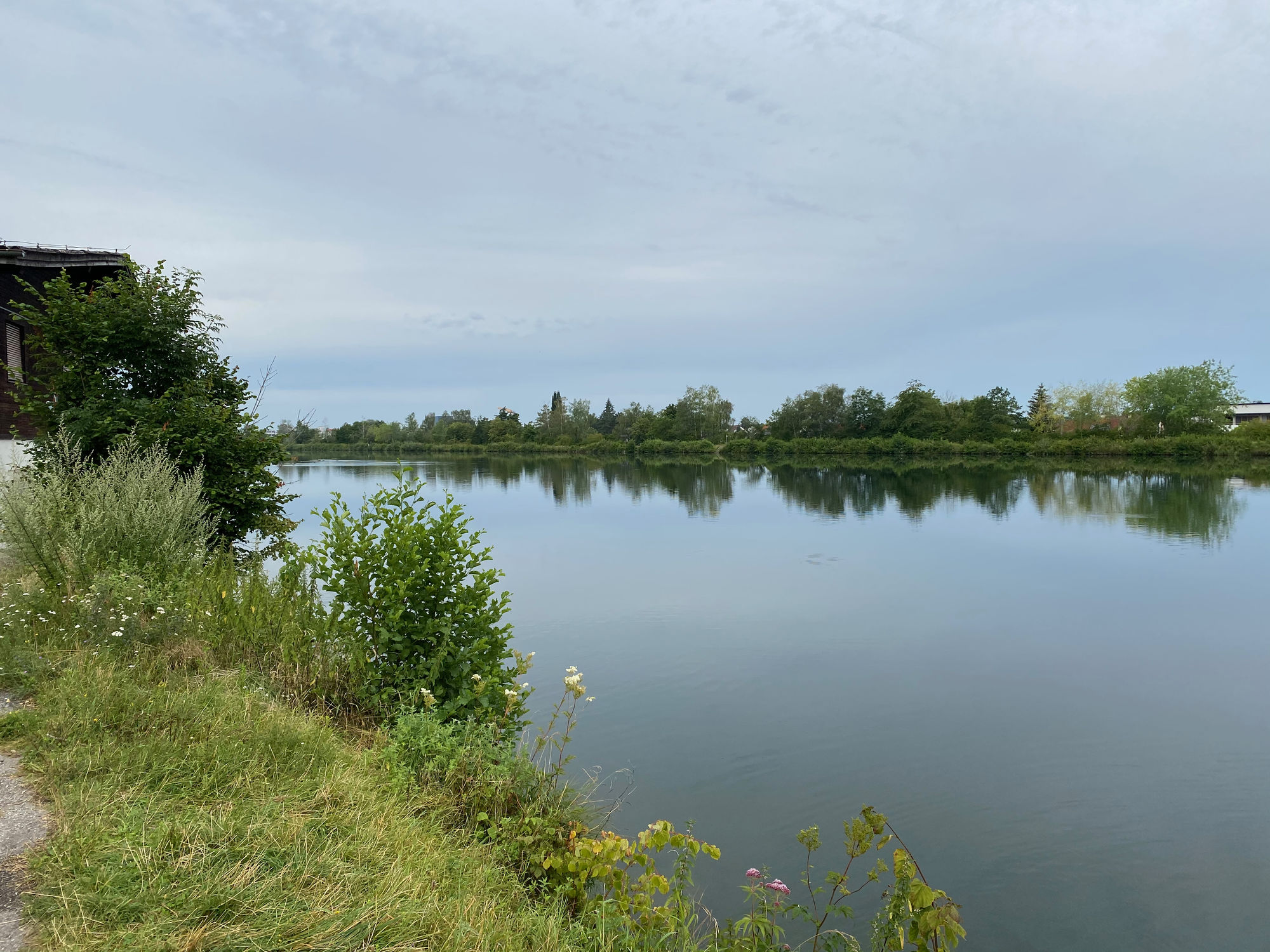
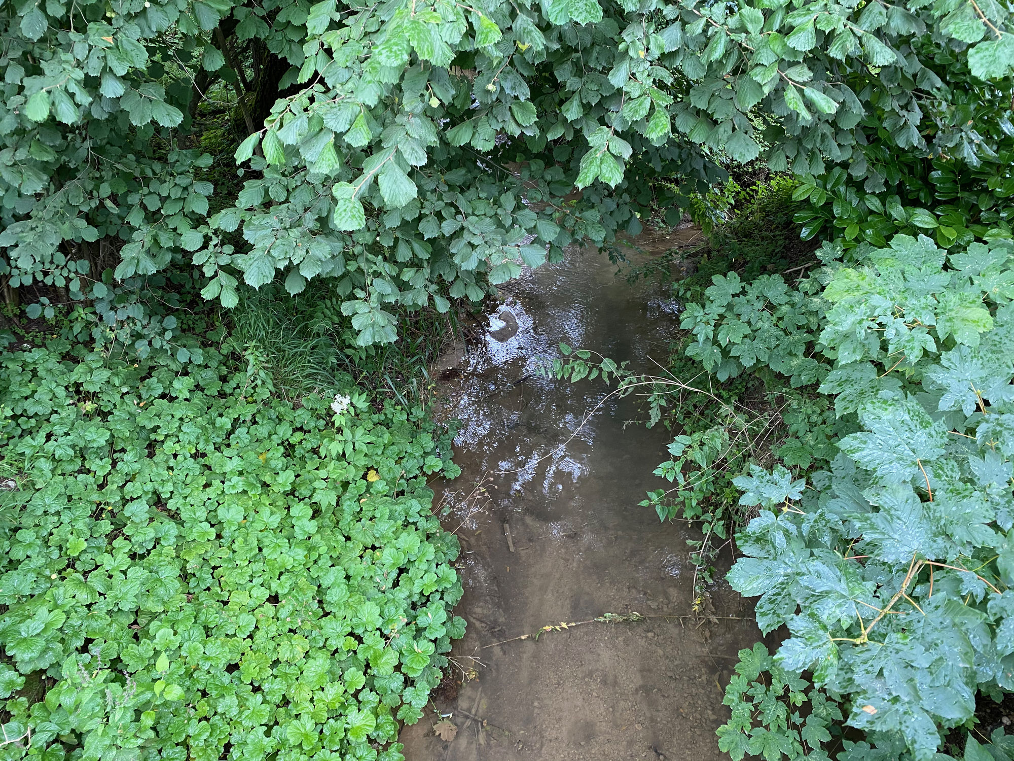
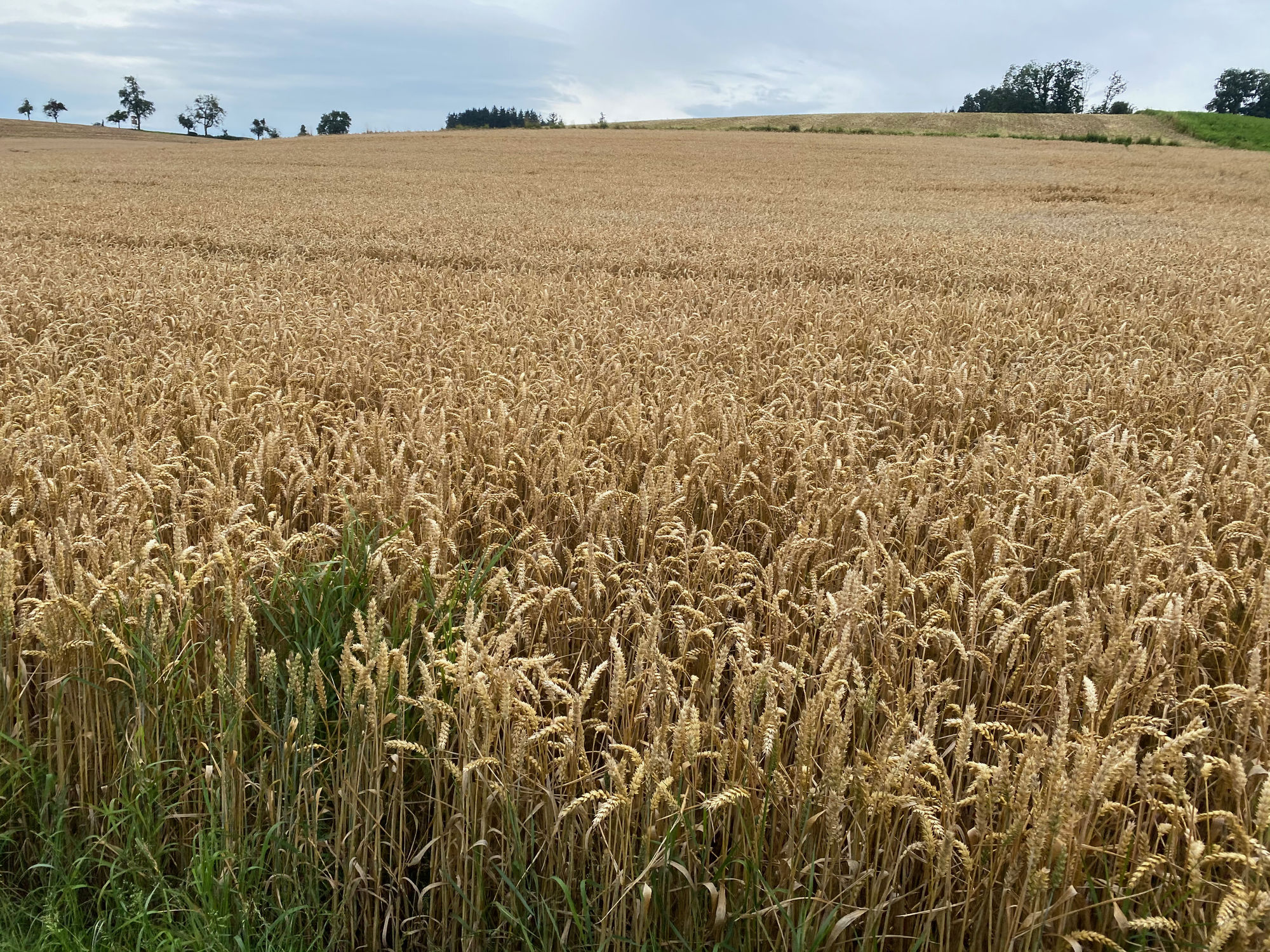
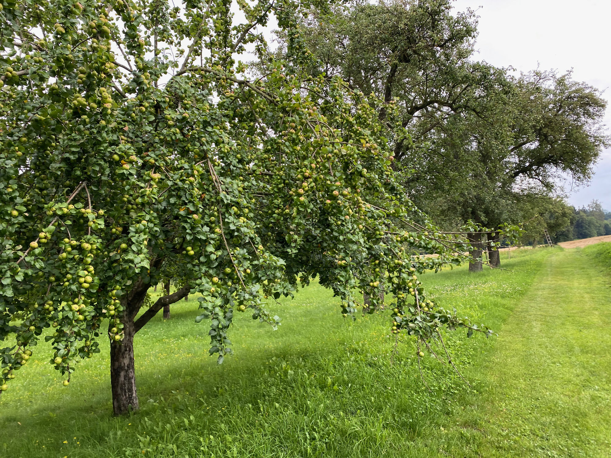
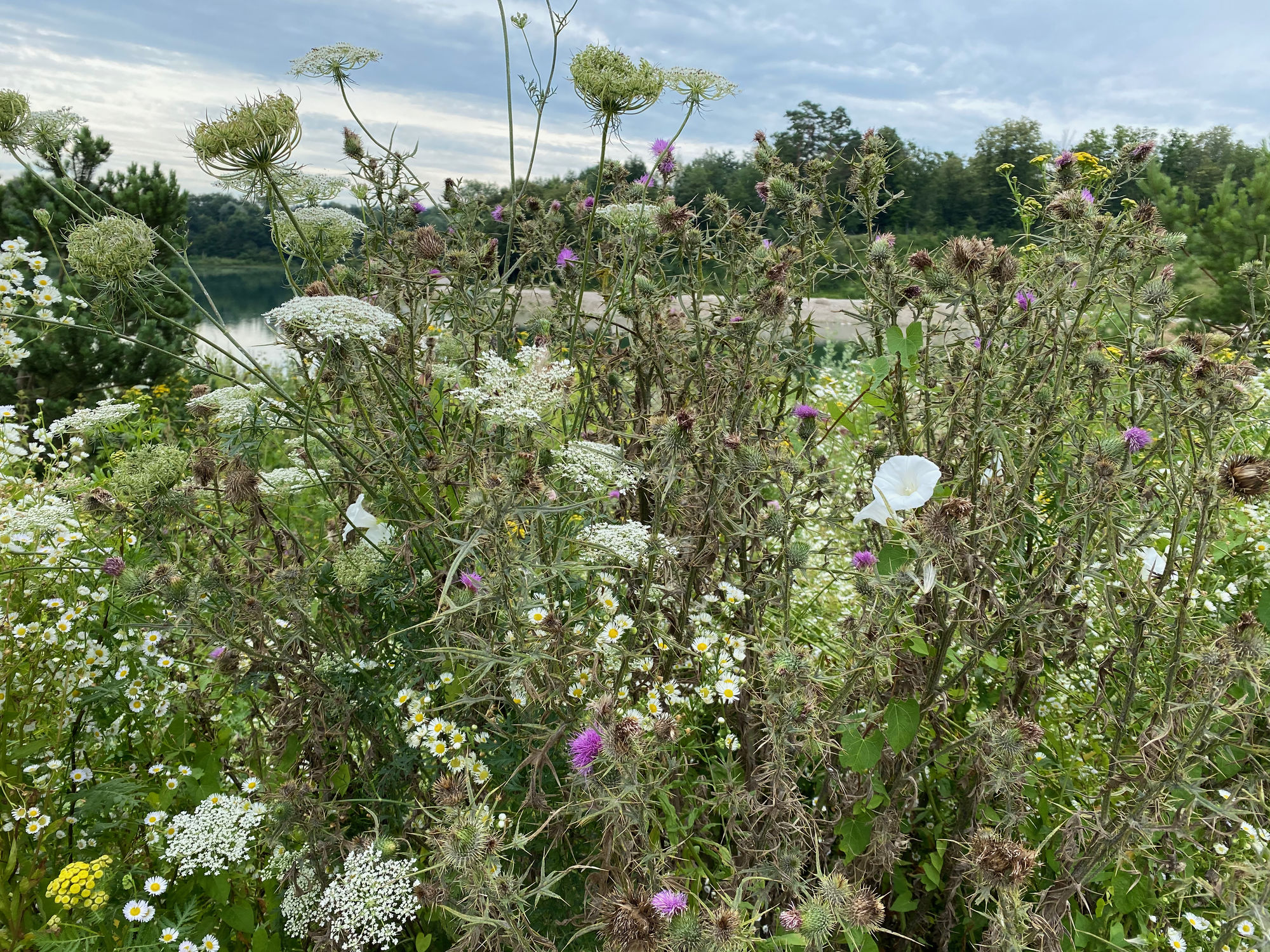
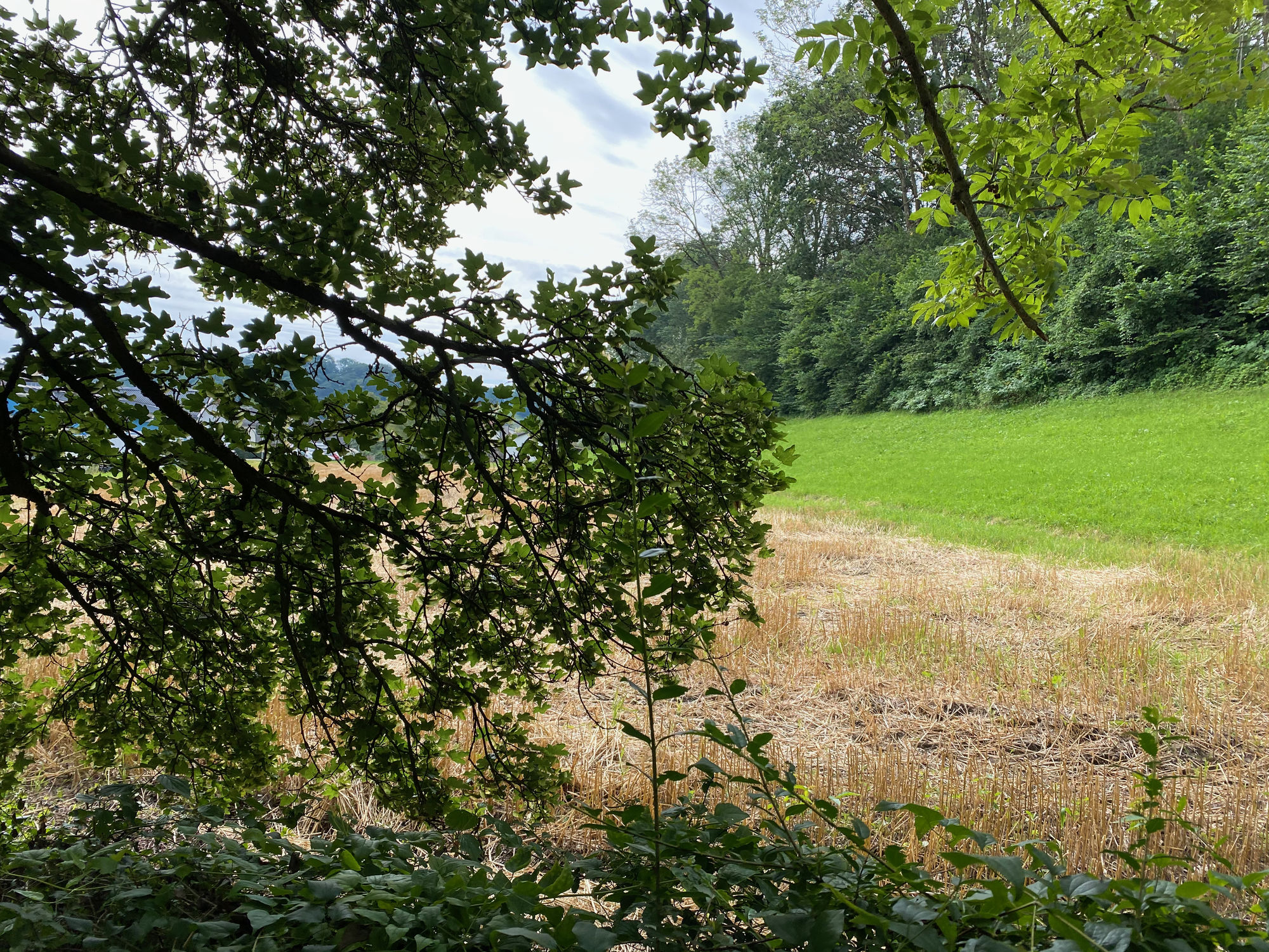
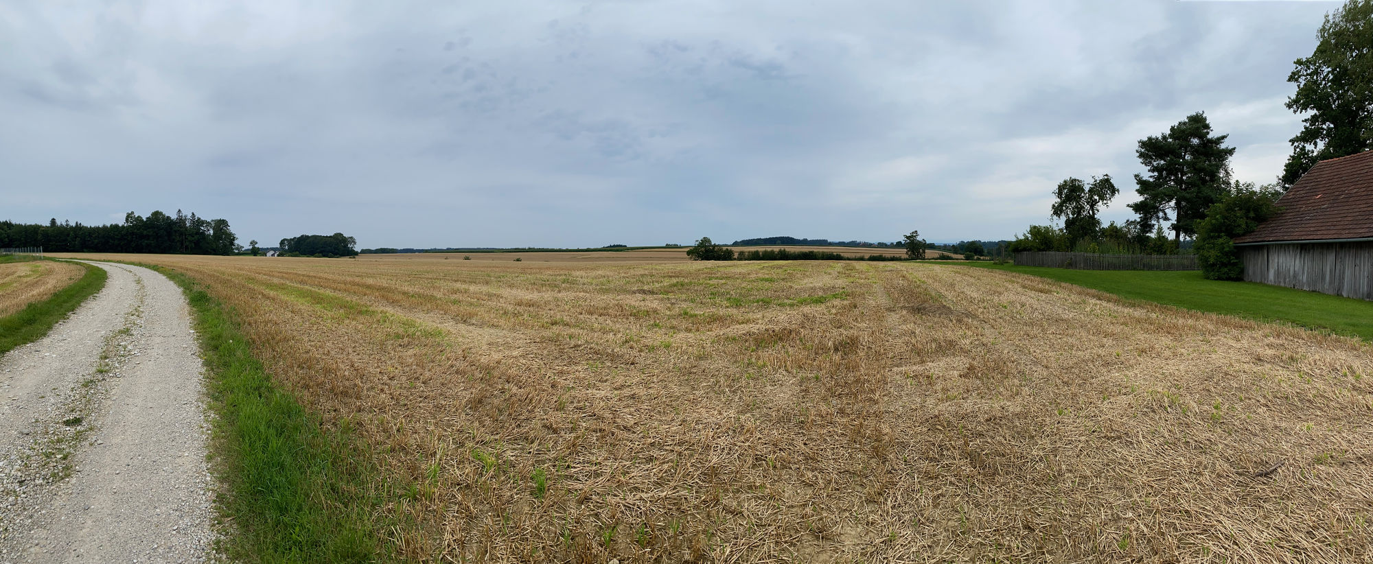
Schöner Rundweg von Thalheim über Schleißheim und Dietach am Weiher über Blindenmarkt zurück nach Thalheim
- Dificultad
-
fácil
- Valoración
-
- Ruta
-
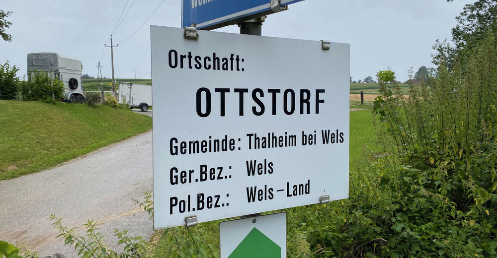
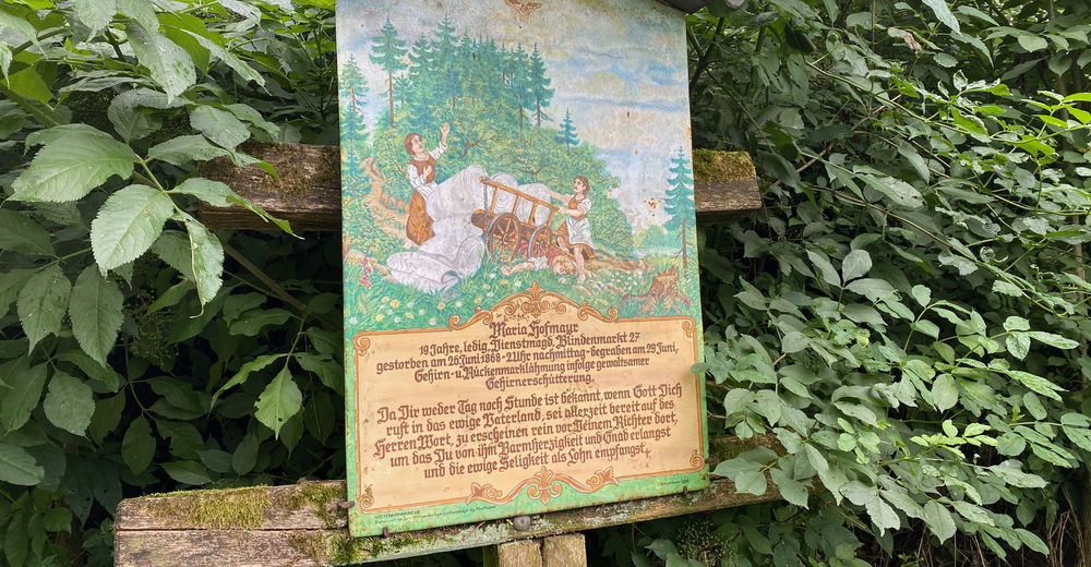
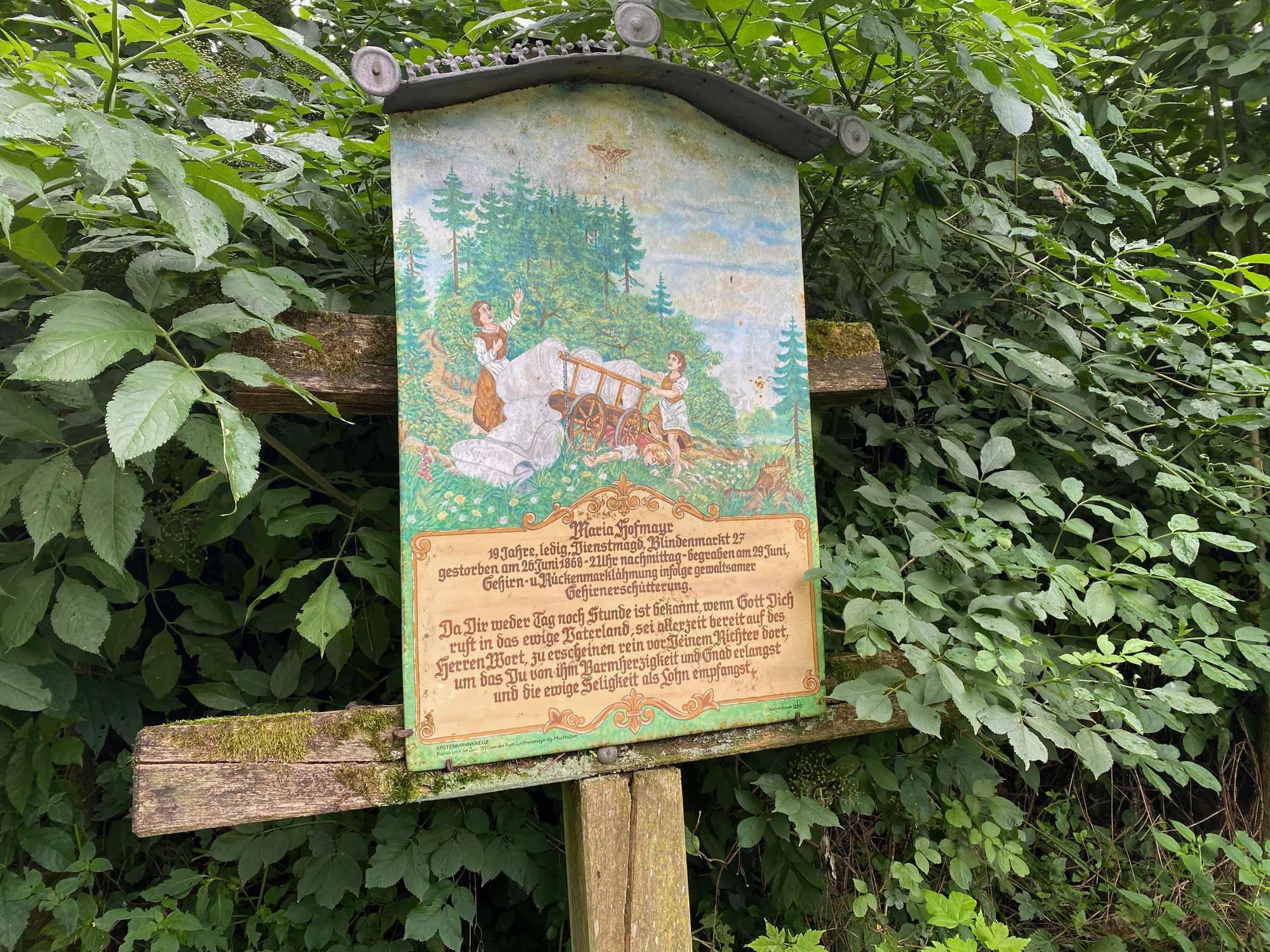
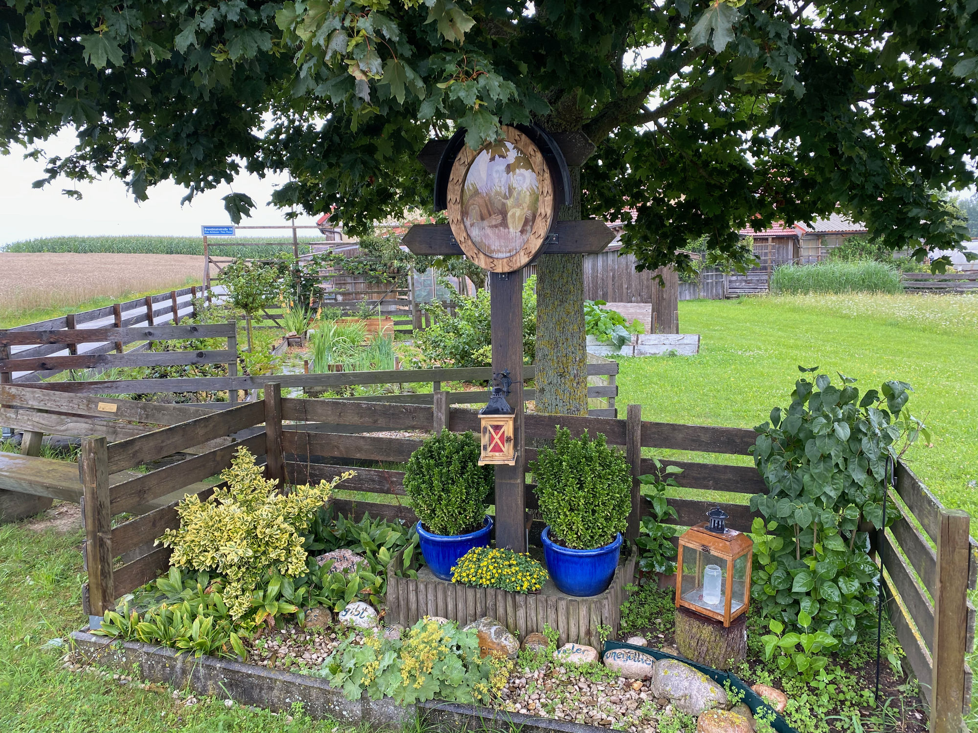
Thalheim bei WelsWels (317 m)0,1 kmSchleißheim4,2 kmMotorik Fun Schleißheim4,7 kmDietach7,0 kmBlindenmarkt11,2 kmAnna-Kapelle14,7 kmThalheim bei Wels16,2 km
- La mejor temporada
-
enefebmarabrmayjunjulagosepoctnovdic
- Punto álgido
- 381 m


GPS Downloads


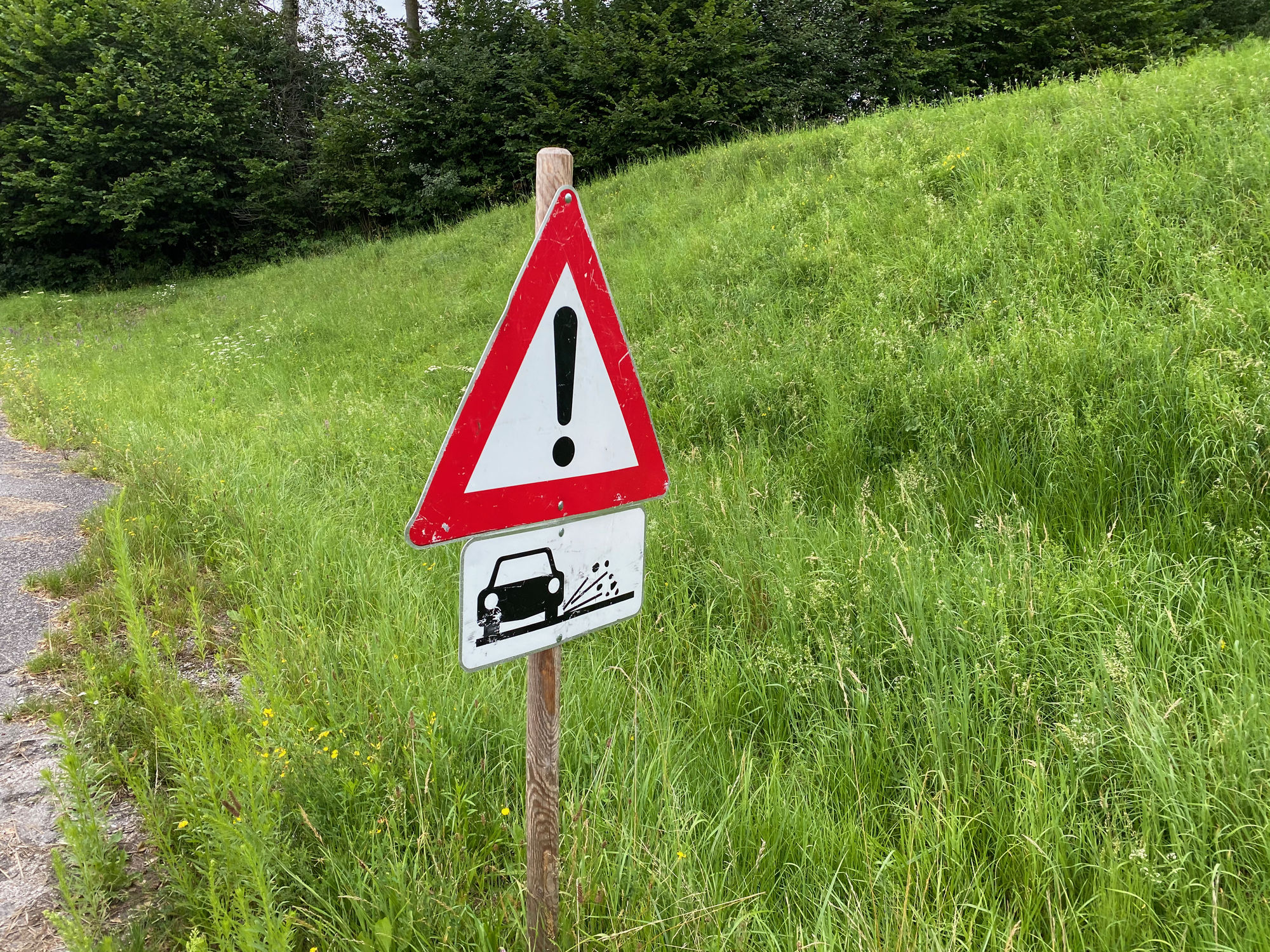
Superficie de carretera
Asfalto
(20)
Gravilla
(25)
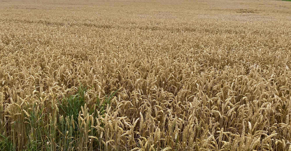
Pradera
(15)
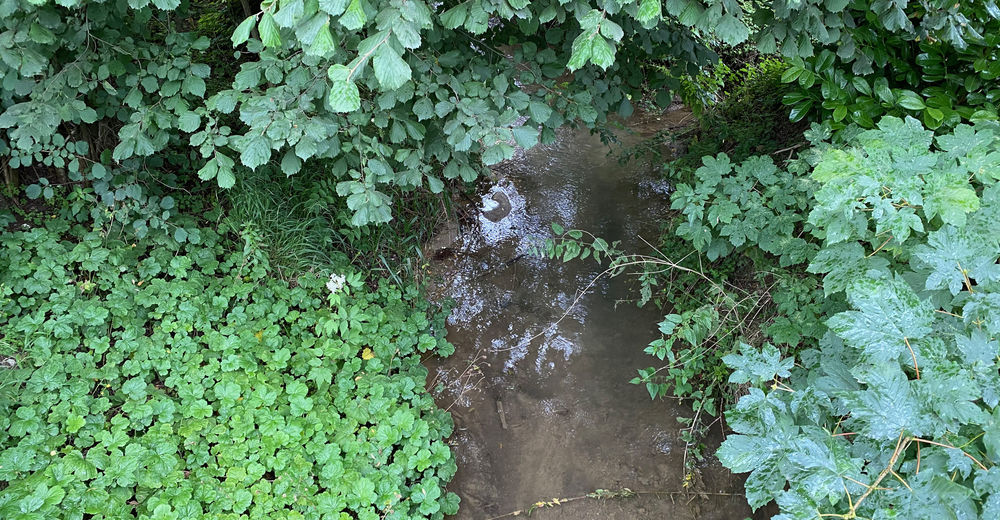
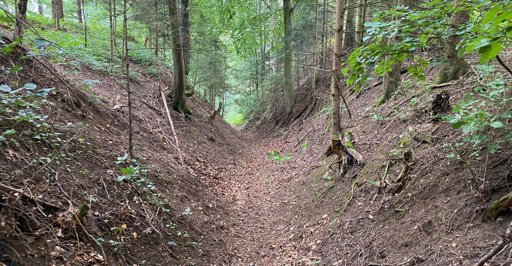
Bosque
(40)
Roca
Expuesto
Más circuitos por las regiones
-
Hausruckviertel
1487
-
Tourismusregion Wels
445
-
Schleißheim
86