Gemeinde Engerwitzdorf
Gemeinde Engerwitzdorf
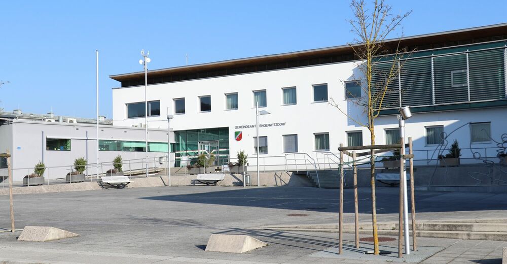
Gemeinde Engerwitzdorf
Datos del tour
22,73km
276
- 439m
438hm
427hm
06:44h

- Breve descripción
-
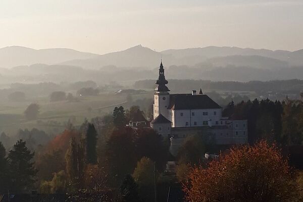
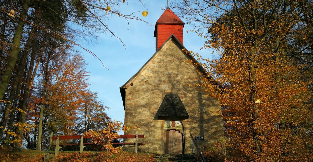
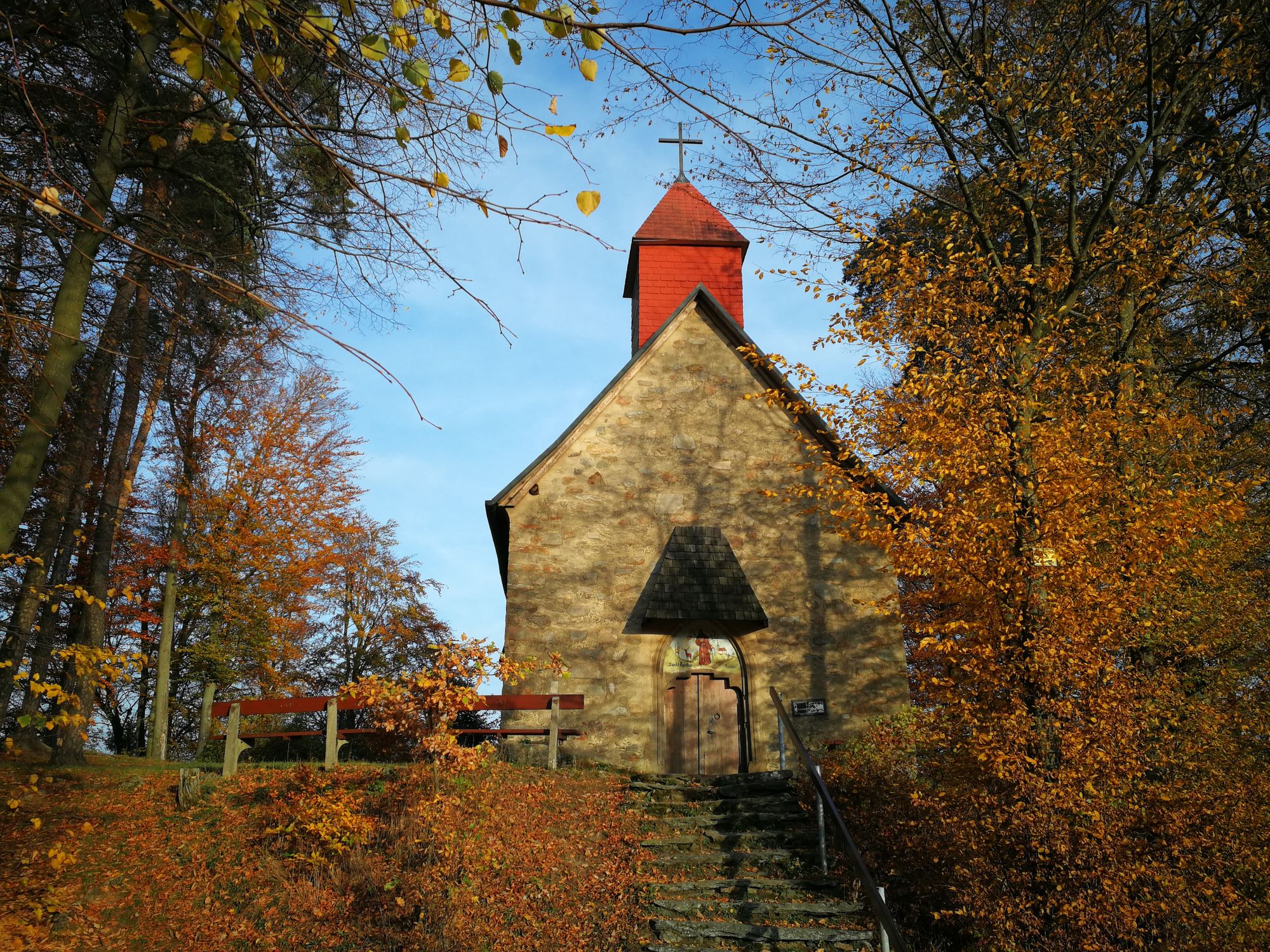
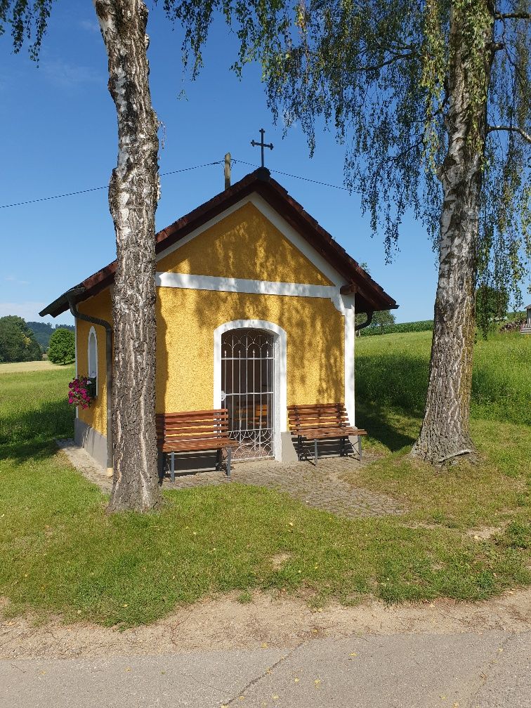
Rundweg Ägidikirche
- Dificultad
-
medio
- Valoración
-
- Ruta
-
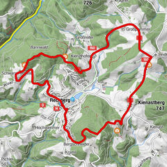
Schweinbach0,2 kmPlank0,4 kmLangwiesen1,1 kmEngerwitzdorf2,1 kmUntere Reitling5,1 kmAu5,9 kmBach8,0 kmEdtsdorf10,9 kmWeingraben14,9 kmSt. Äigidi Kirche16,0 kmNiederreitern19,1 kmSteinreith21,0 kmPlank22,0 kmSchweinbach22,3 km
- Punto álgido
- 439 m
- Descanso/Avituallamiento
-
Gasthaus Plank (Schweinbacher Straße 40, 4209 Engerwitzdorf)

GPS Downloads


Más circuitos por las regiones
-
Mühlviertel
1791
-
Linz & Region Linz
842
-
Engerwitzdorf
302