
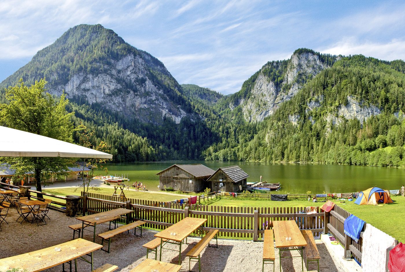
© Sulzbacher

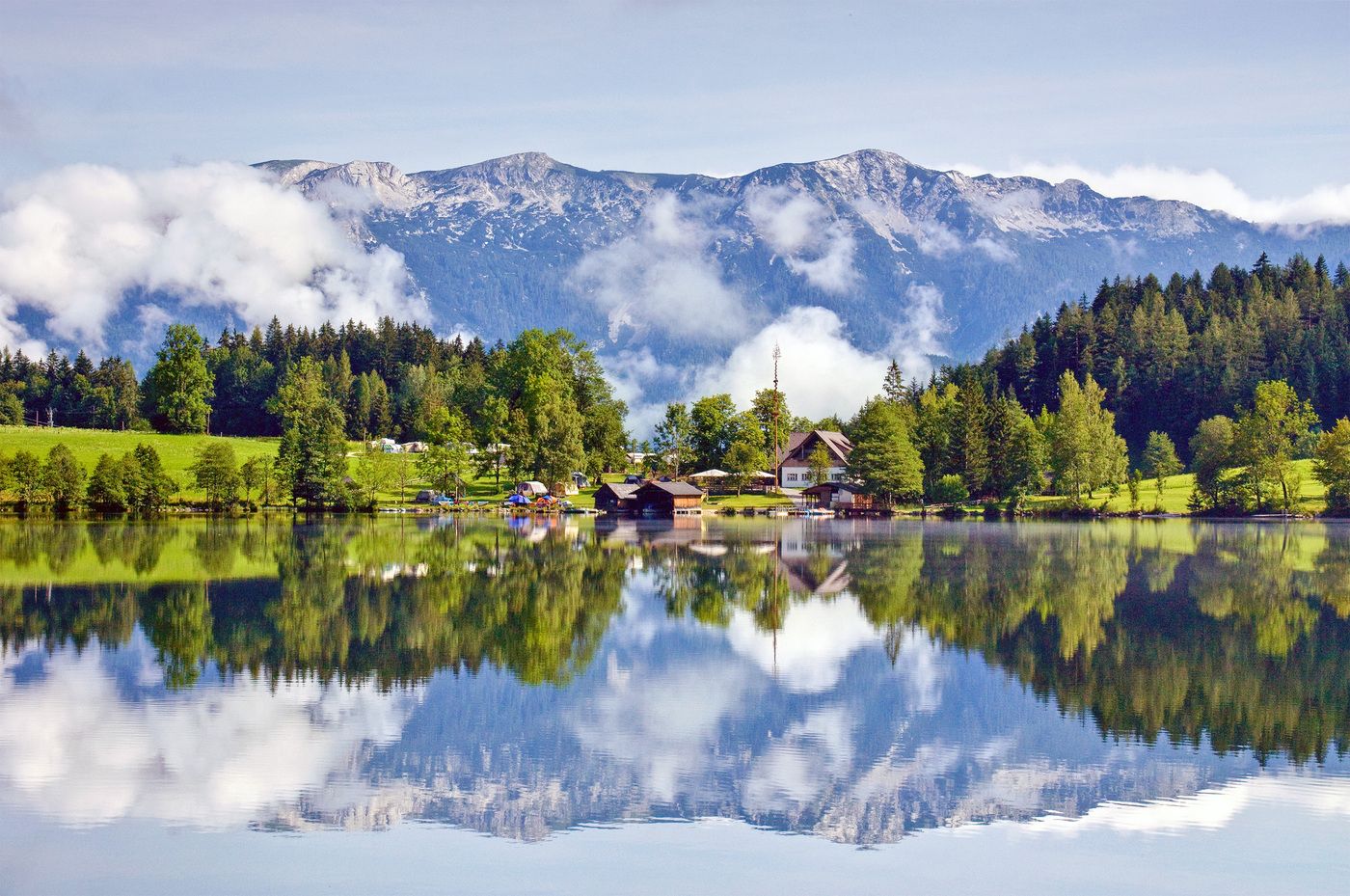
© Sulzbacher
Datos del tour
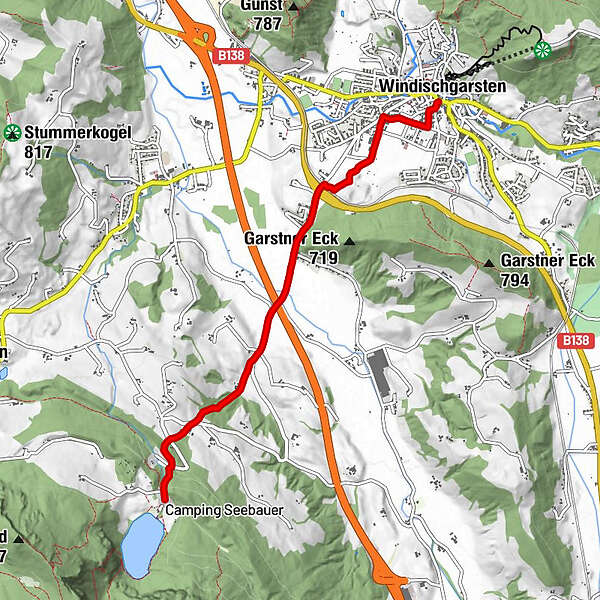
9,8km
586
- 809m
229hm
04:00h
- Breve descripción
-
Schwierigkeitsgrad: blau
- Valoración
-
- Punto de salida
-
Hauptplatz Windischgarsten
- Ruta
-
WindischgarstenSt. Jakob0,0 kmZum guten Hirten0,3 km
- Punto álgido
- 809 m
- Descanso/Avituallamiento
-
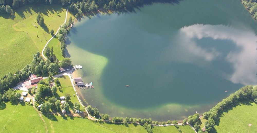
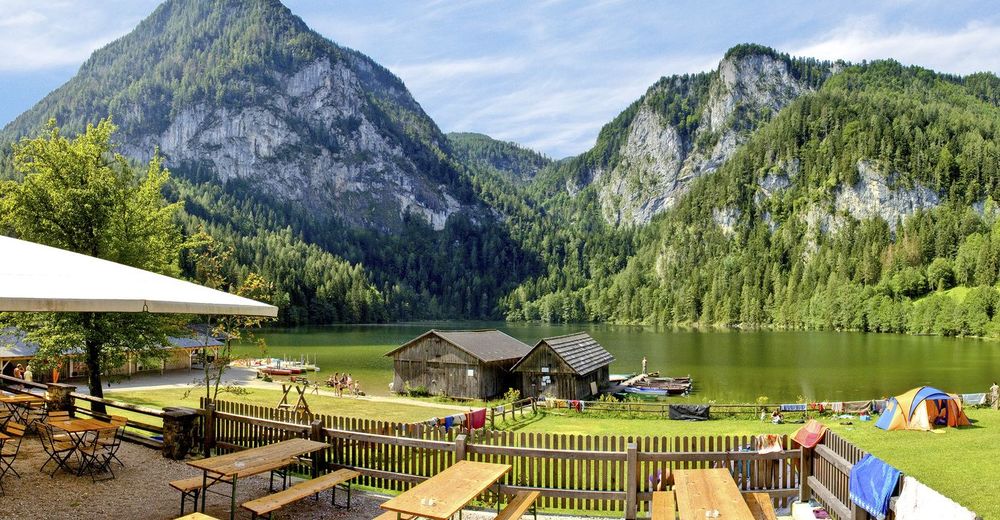
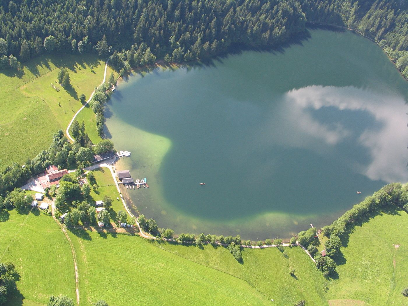
GH Seebauer, GH Tommerl
- Material cartográfico
-
Wanderkarte Pyhrn-Priel erhätlich in allen Pyhrn-Priel Tourismusbüros!
GPS Downloads


Superficie de carretera
Asfalto
Gravilla
Pradera
Bosque
Roca
Expuesto
Más circuitos por las regiones
-
Traunviertel
1940
-
Urlaubsregion Pyhrn - Priel
1440
-
Windischgarsten
439


")
