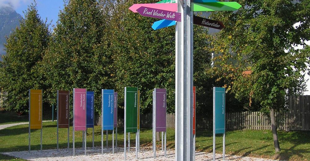
RundWanderWelt Hinterstoder - Hutterer Böden-Runde

Senderismo
© Gmd. Hinterstoder
Datos del tour
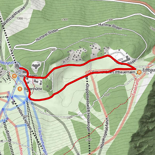
2,2km
1.371
- 1.401m
12hm
01:30h
- Valoración
-
- Punto de salida
-
Bergstation Kabinenbahn
- Ruta
-
Bergstation Hössbahn0,0 kmSchutzhütte Edtbauernalm1,1 km
- Punto álgido
- 1.401 m
- Descanso/Avituallamiento
-
Schutzhütte Edtbauernalm, Lögerhütte
- Material cartográfico
-
Wanderkarte Pyhrn-Priel erhältlich in allen Pyhrn-Priel Tourismusbüros!

GPS Downloads


Más circuitos por las regiones
-
Traunviertel
1940
-
Urlaubsregion Pyhrn - Priel
1440
-
Hinterstoder
395


