

© Schachner

© TVB Pyhrn-Priel/Sulzbacher
Datos del tour
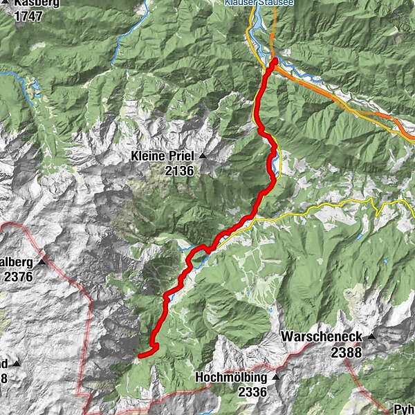
20,69km
500
- 738m
538hm
05:10h
- Breve descripción
-
Schwierigkeitsgrad: mittel
- Dificultad
-
medio
- Valoración
-
- Punto de salida
-
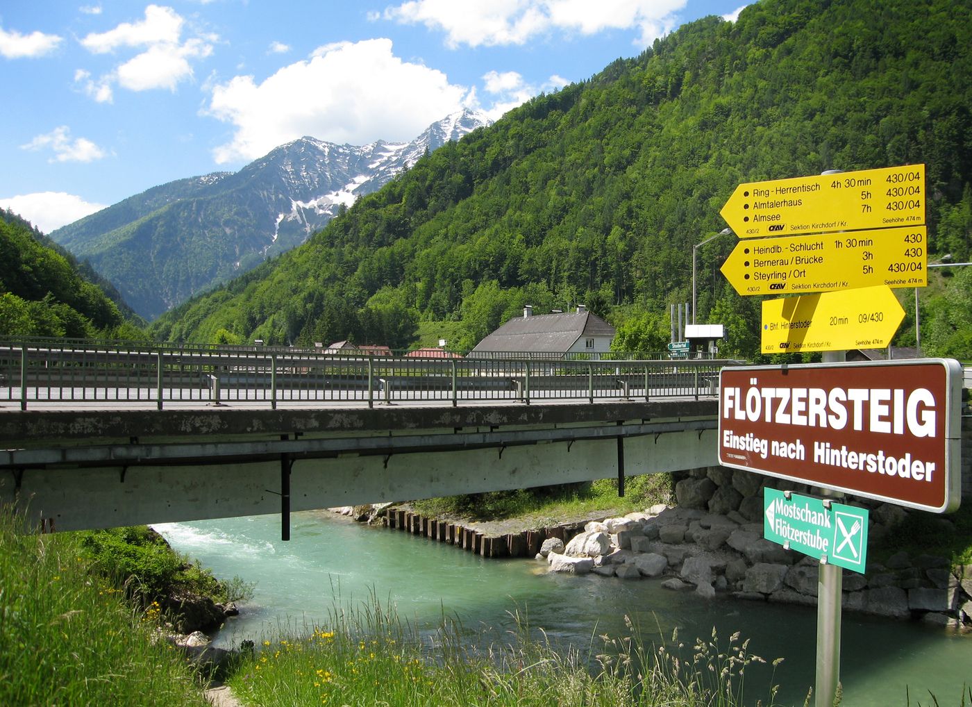
Bahnhof Hinterstoder
- Ruta
-
Stromboding Wasserfall8,4 kmKreidelucke8,8 kmHinterstoder10,2 kmDietl-Kapelle16,3 kmDietlgut16,8 kmAlmgasthof Baumschlagerreith19,8 kmSteyr-Ursprung20,3 km
- La mejor temporada
-
enefebmarabrmayjunjulagosepoctnovdic
- Punto álgido
- 738 m
- Descanso/Avituallamiento
-
GH Steyrbrücke, Flötzerstub´n, Polsterstüberl, Gastronomie in Hinterstoder, GH Baumschlagerreith
- Material cartográfico
-
Wanderkarte Pyhrn-Priel erhältlich in allen Pyhrn-Priel Tourismusbüros!
GPS Downloads


Superficie de carretera
Asfalto
Gravilla
Pradera
Bosque
Roca
Expuesto
Más circuitos por las regiones
-
Traunviertel
1940
-
Urlaubsregion Pyhrn - Priel
1440
-
Hinterstoder
395


