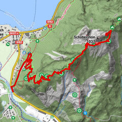
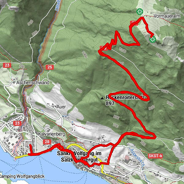
Datos del tour
14,48km
538
- 1.429m
897hm
898hm
03:31h
- Breve descripción
-
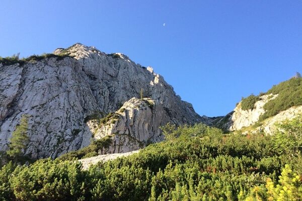
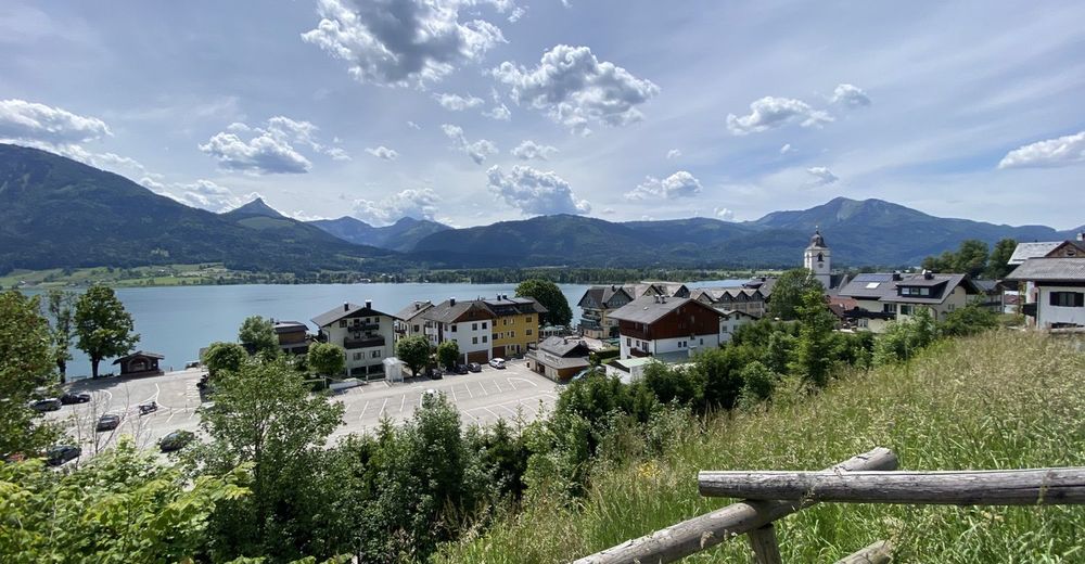
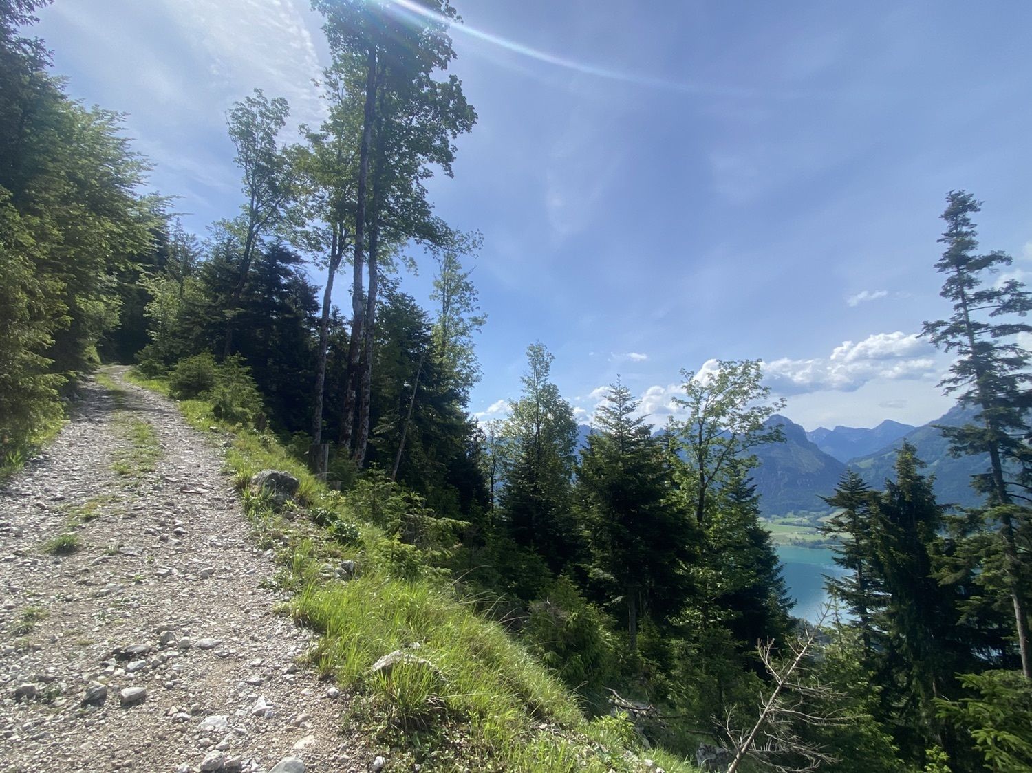
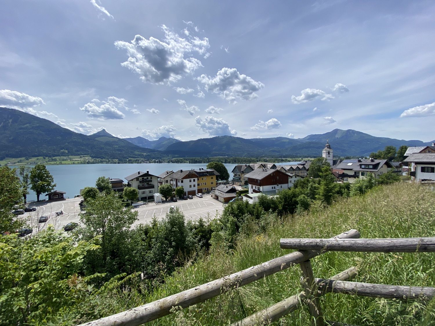
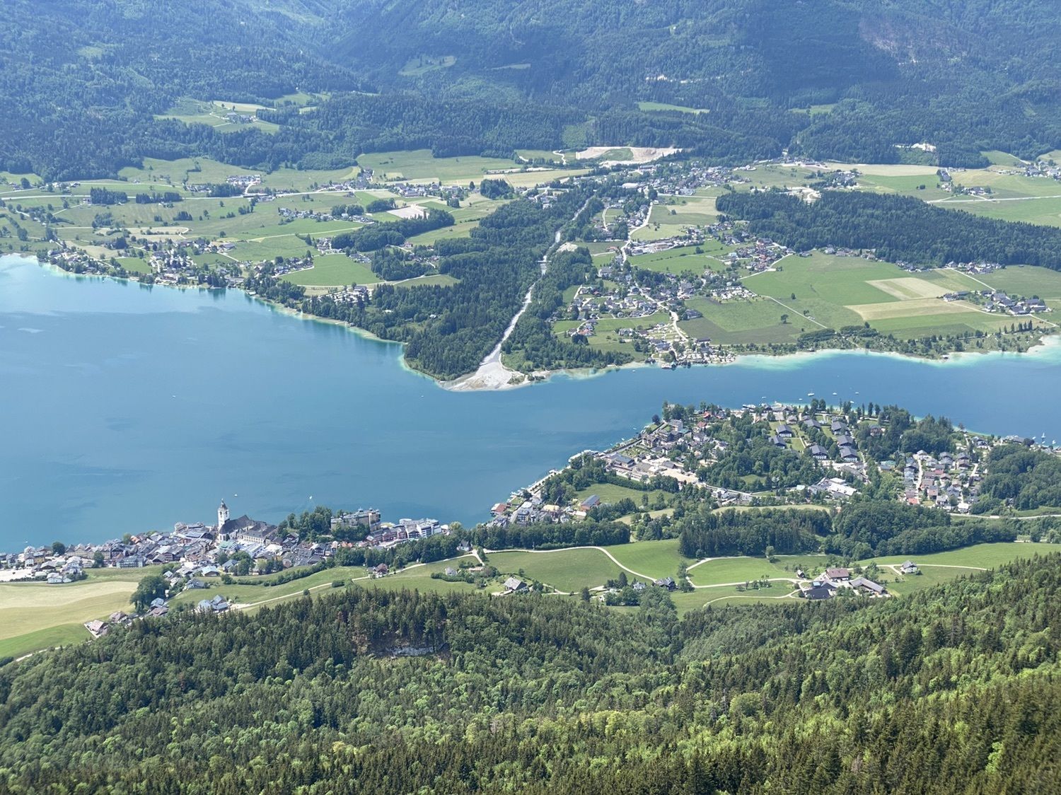
Von Ortszentrum auf zum Gipfel
- Dificultad
-
medio
- Valoración
-
- Ruta
-
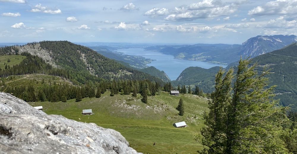
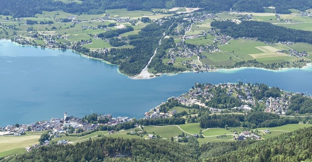
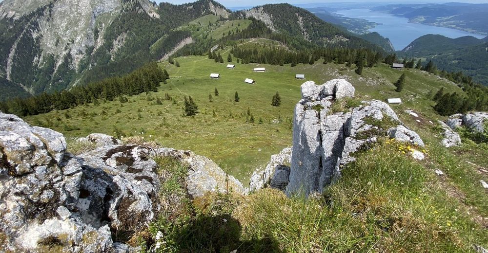
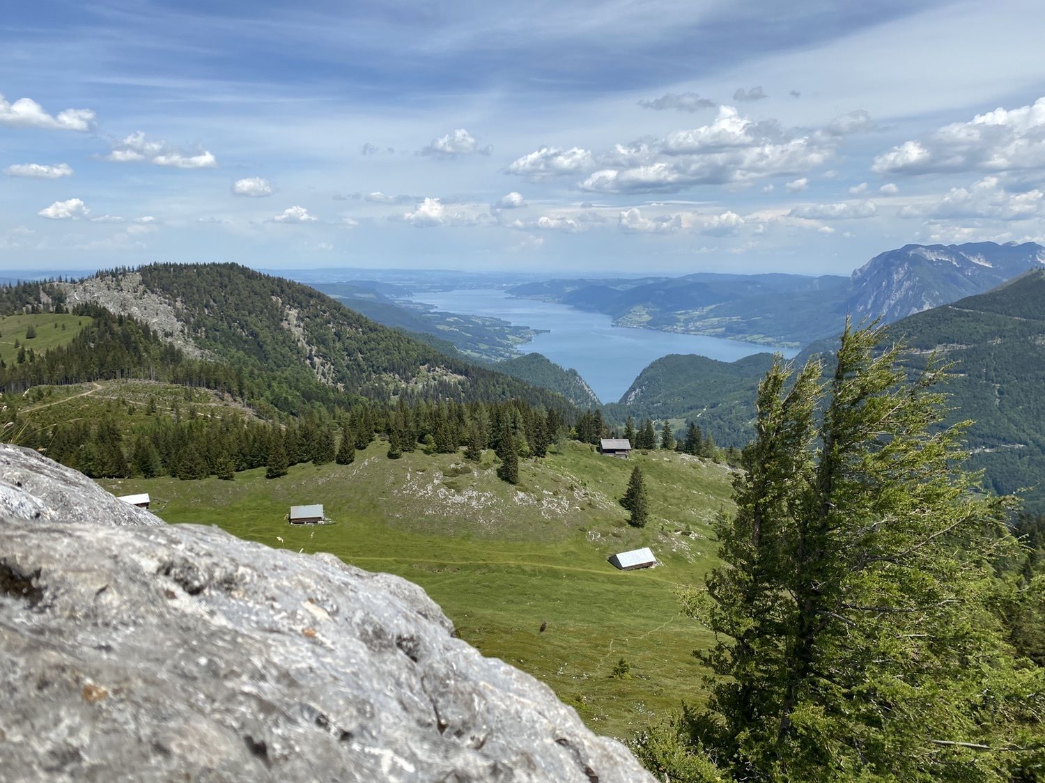
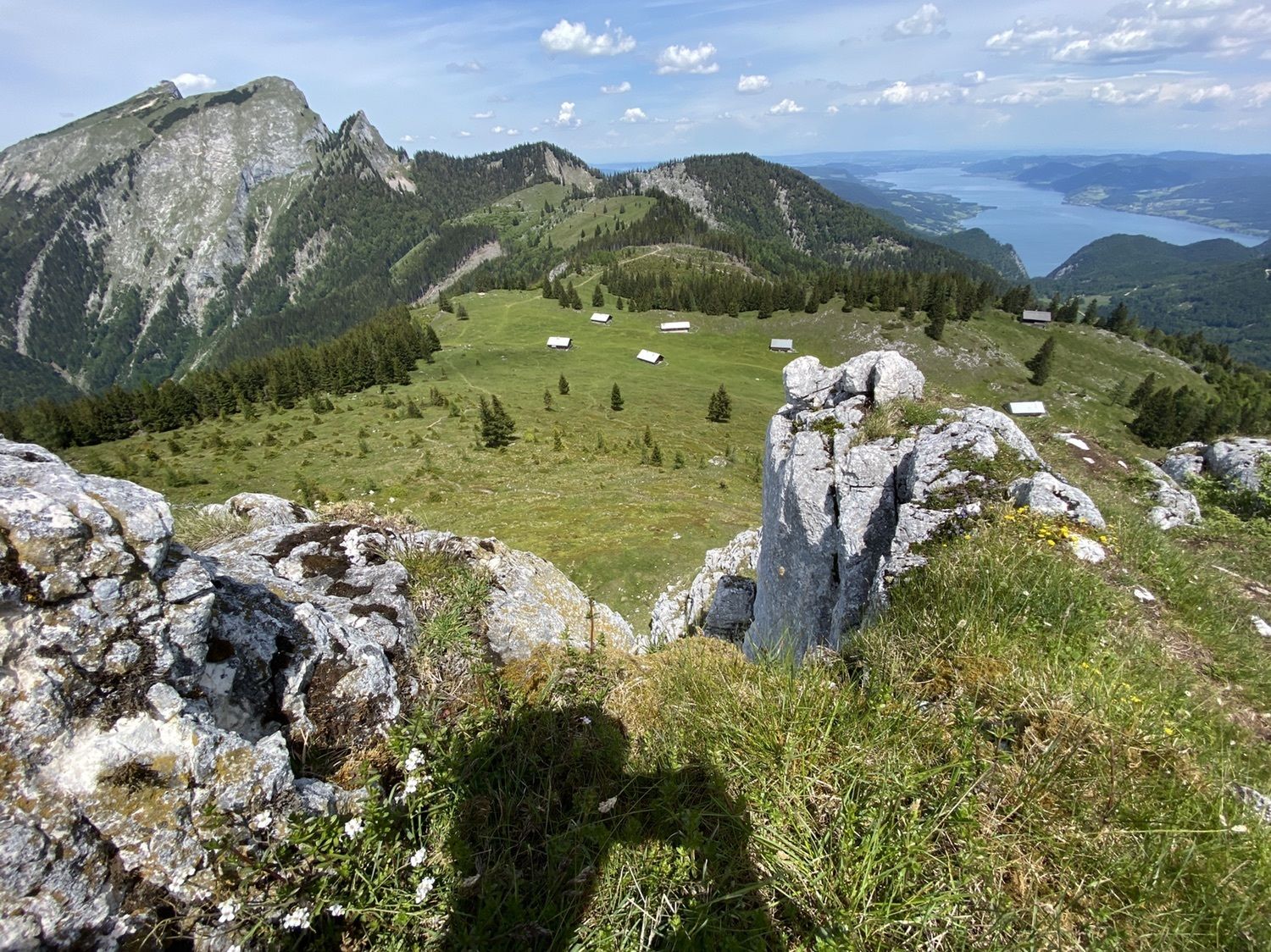
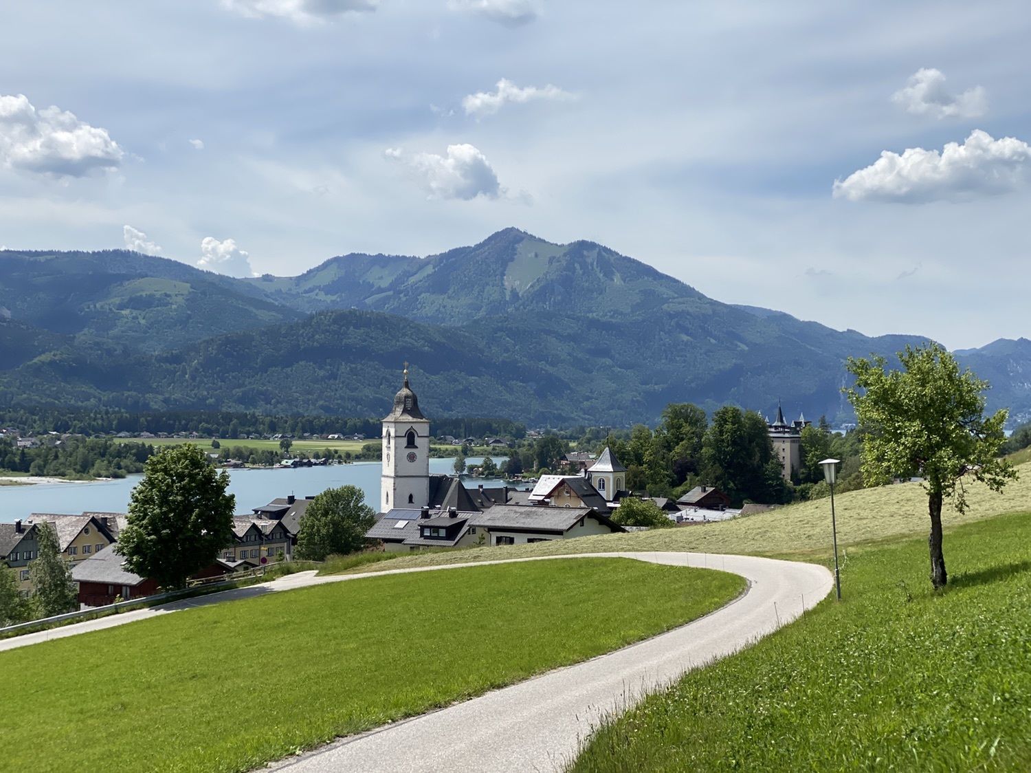
St. Wolfgang Schafbergbf (542 m)0,0 kmSchafbergbahn0,1 kmPfarrkirche St. Wolfgang0,8 kmSt. Wolfgang0,8 kmVormauerstein (1.450 m)7,2 kmSt. Wolfgang13,4 kmPfarrkirche St. Wolfgang13,4 kmSt. Wolfgang Schafbergbf (542 m)14,2 kmSchafbergbahn14,2 km
- La mejor temporada
-
enefebmarabrmayjunjulagosepoctnovdic
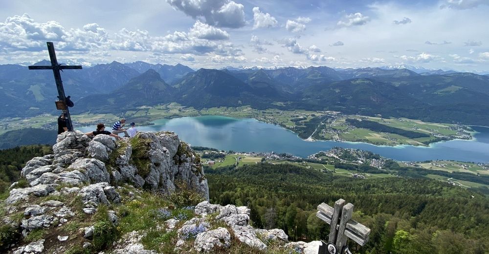
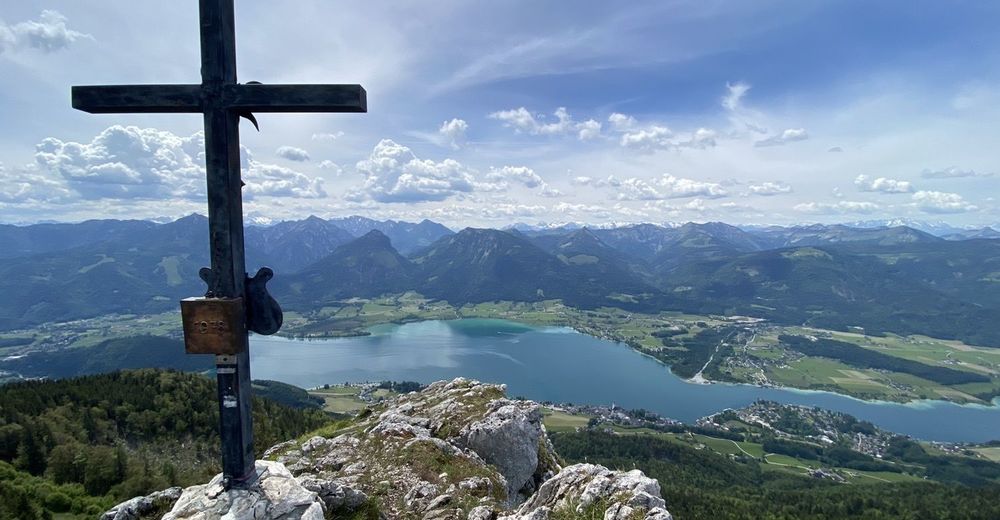
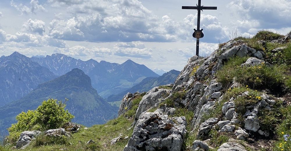
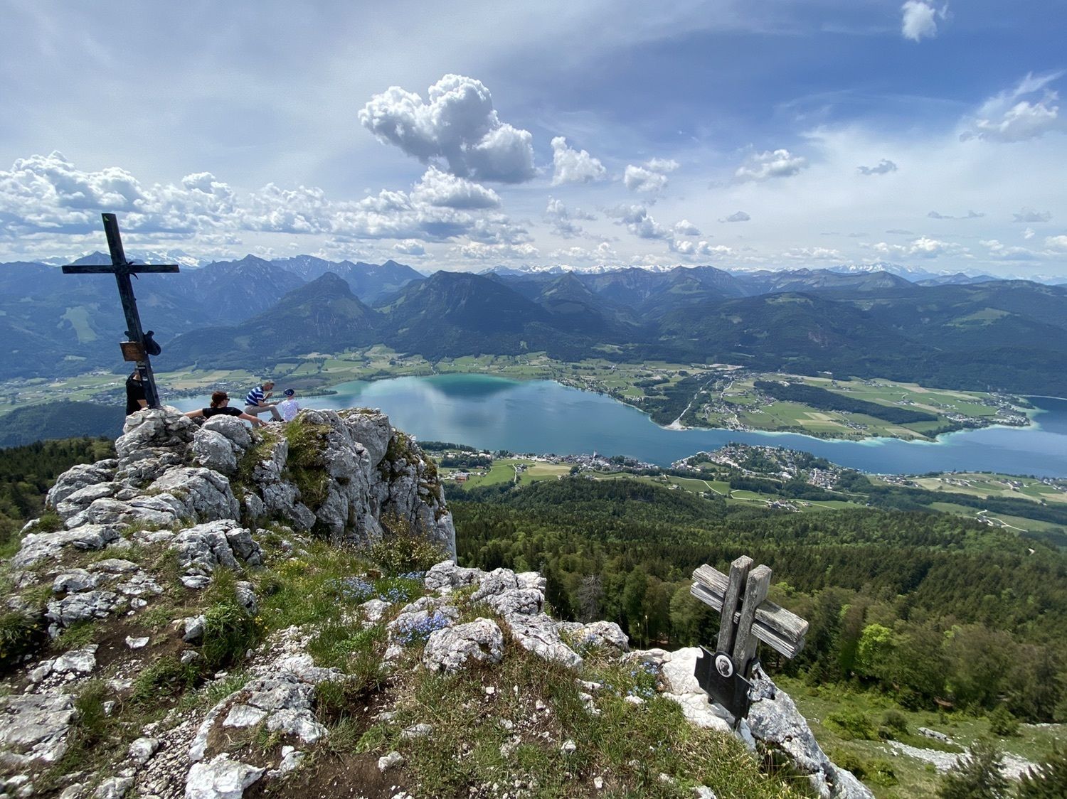
- Punto álgido
- 1.429 m


GPS Downloads


Más circuitos por las regiones