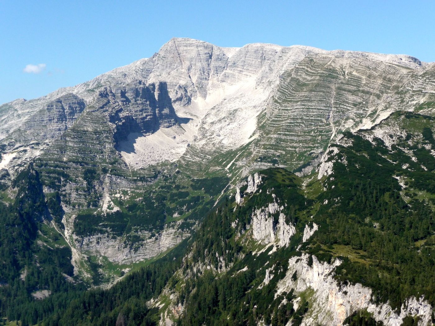
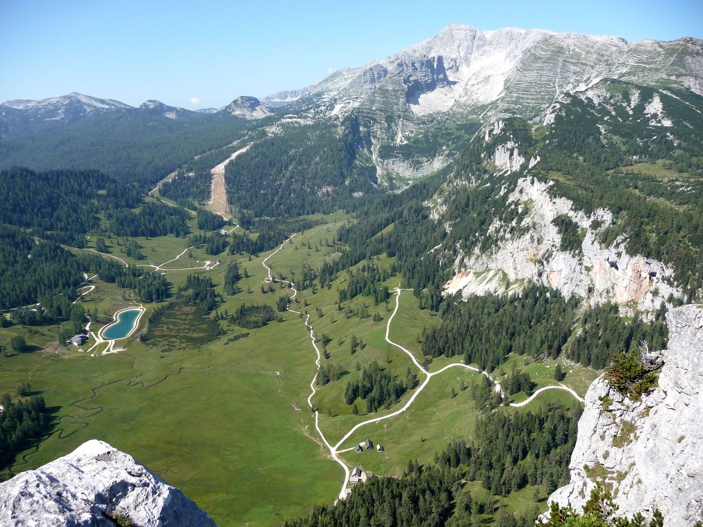
Wurzeralm - Stubwieswipfel - Gleinkersee

Senderismo


Datos del tour
10,21km
808
- 1.786m
978hm
05:00h

- Valoración
-
- Punto de salida
-
Bergstation der Standseilbahn Wurzeralm
- Ruta
-
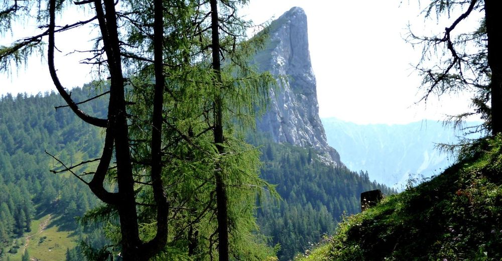
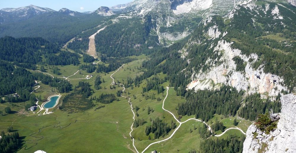
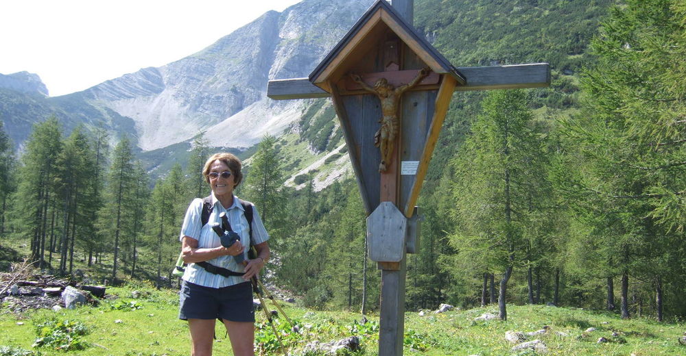
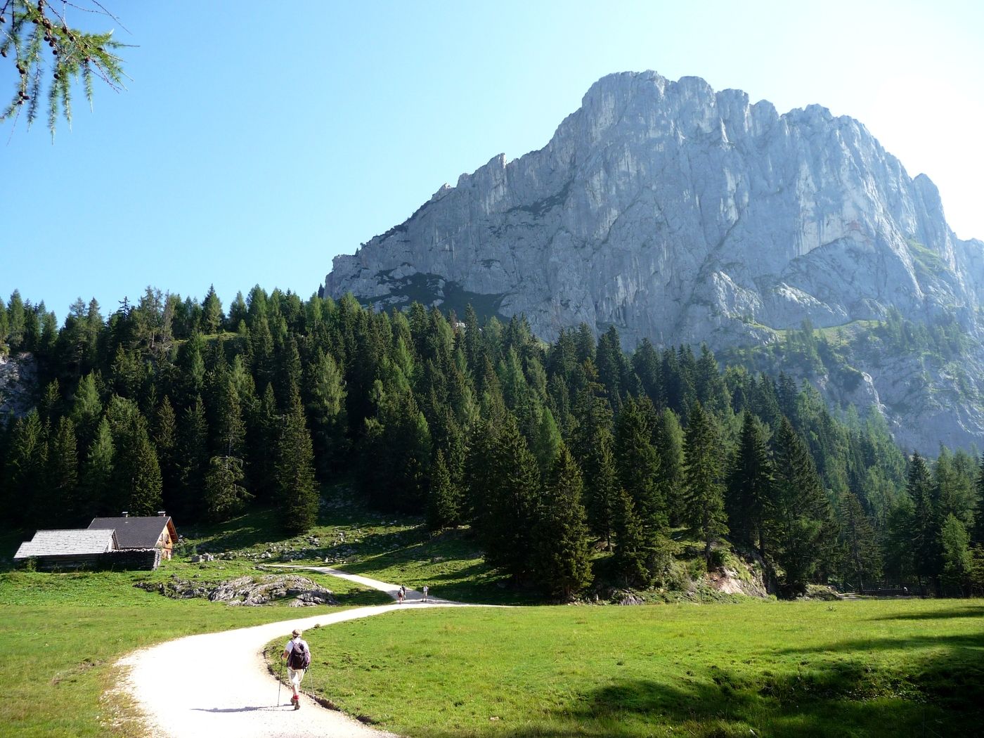
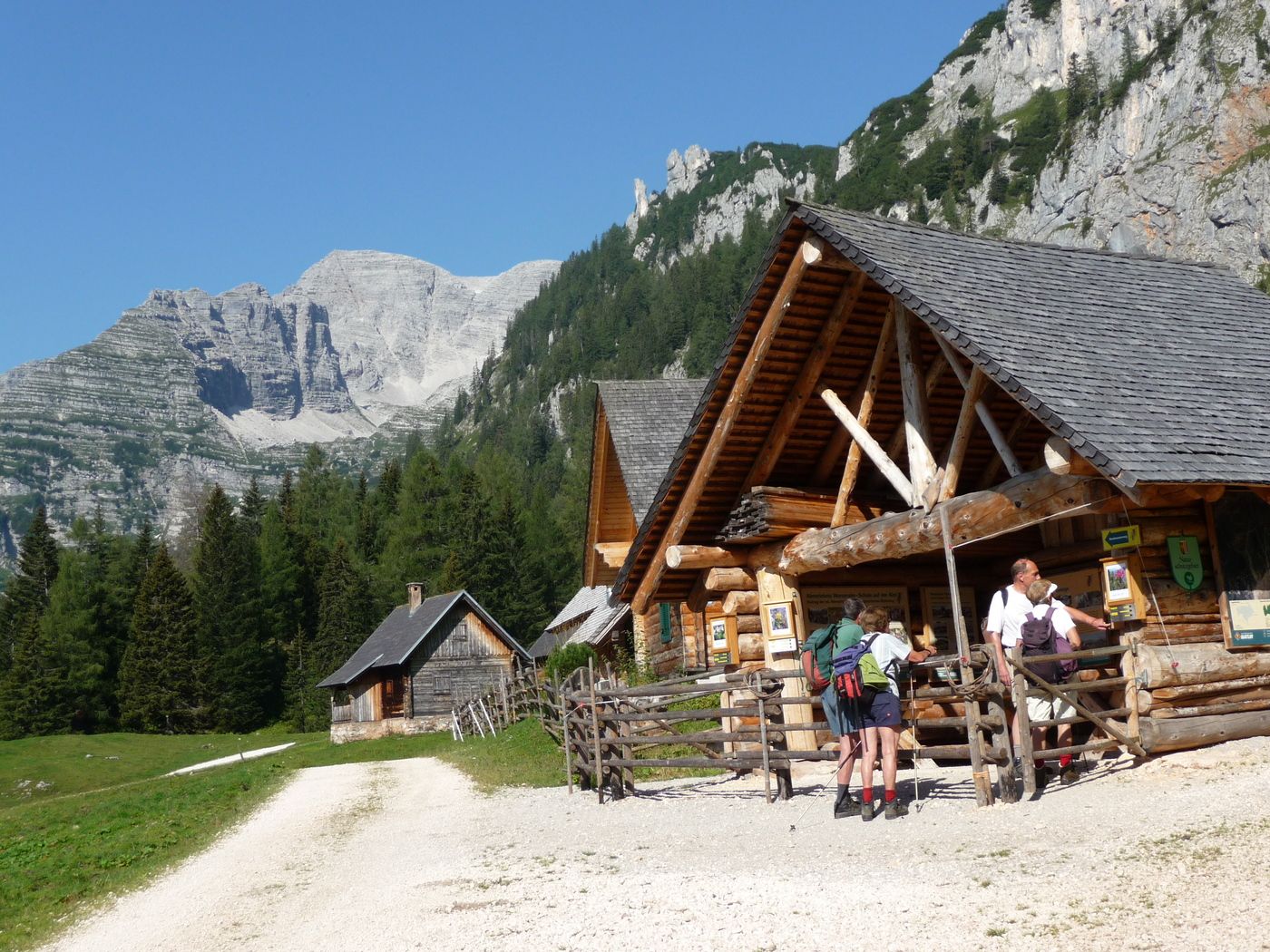
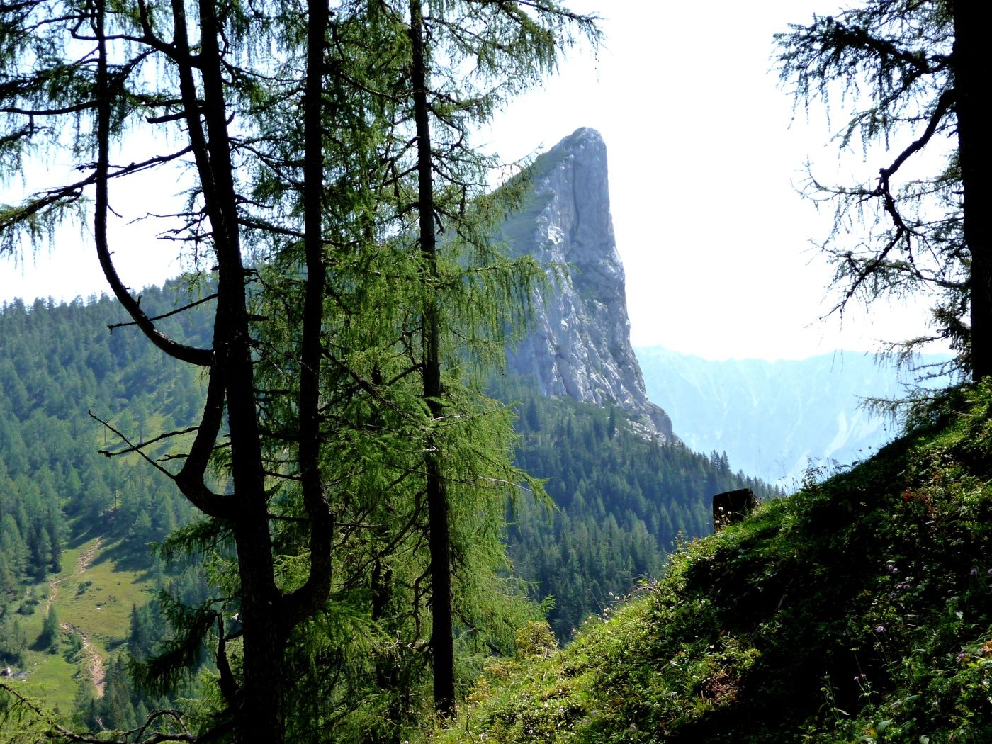
Stubwieswipfel (1.786 m)3,1 kmHals-Sattel (1.599 m)4,5 kmDümlerhütte6,4 kmZickalm6,9 kmSeegraben8,9 kmGasthof Seebauer10,0 km
- Punto álgido
- 1.786 m
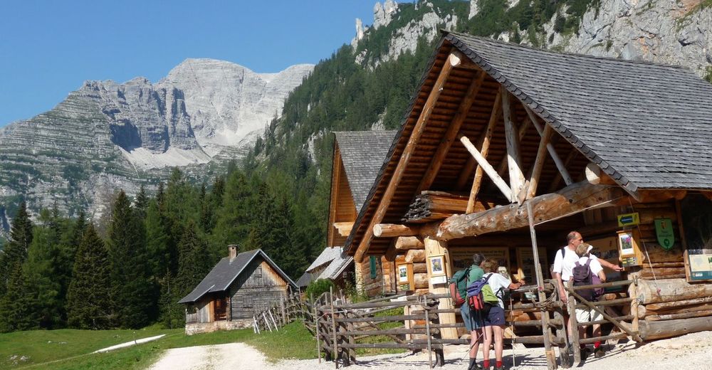
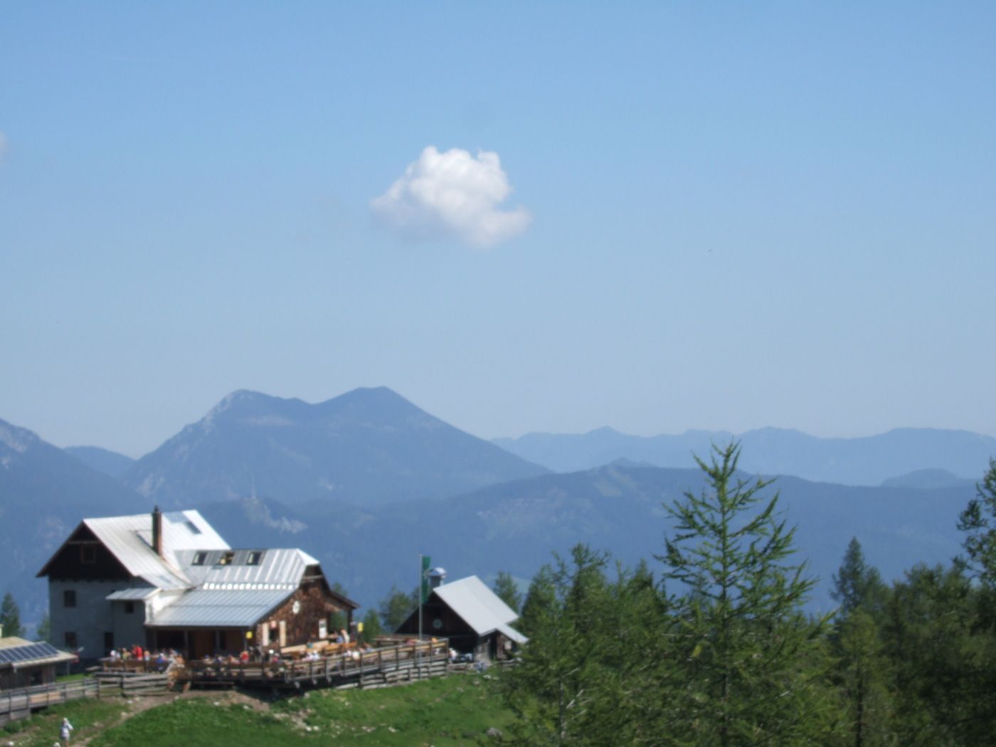
- Descanso/Avituallamiento
-
Dümlerhütte, Gasthäuser beim Gleinkersee
- Material cartográfico
-
AV Karte Totes Gebirge Nr.15/3. ÖK 98


GPS Downloads


Superficie de carretera
Asfalto
Gravilla
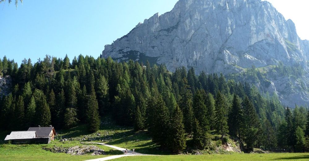
Pradera
Bosque
Roca
Expuesto
Más circuitos por las regiones
-
Gesäuse
2225
-
Urlaubsregion Pyhrn - Priel
1440
-
Spital am Pyhrn - Wurzeralm
434


")


