
© PPT/Hubert Hager
© TVB Pyhrn Priel/Schoißwohl
Datos del tour
10,69km
603
- 2.476m
1.993hm
1.993hm
09:30h
- Breve descripción
-
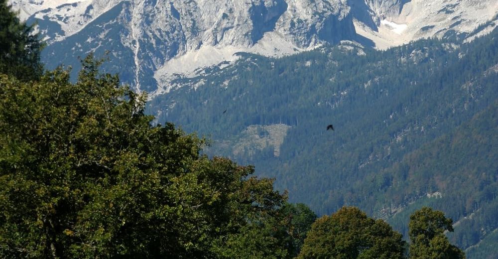
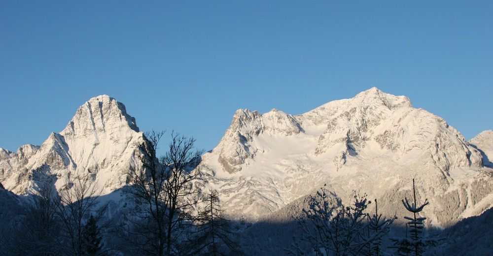
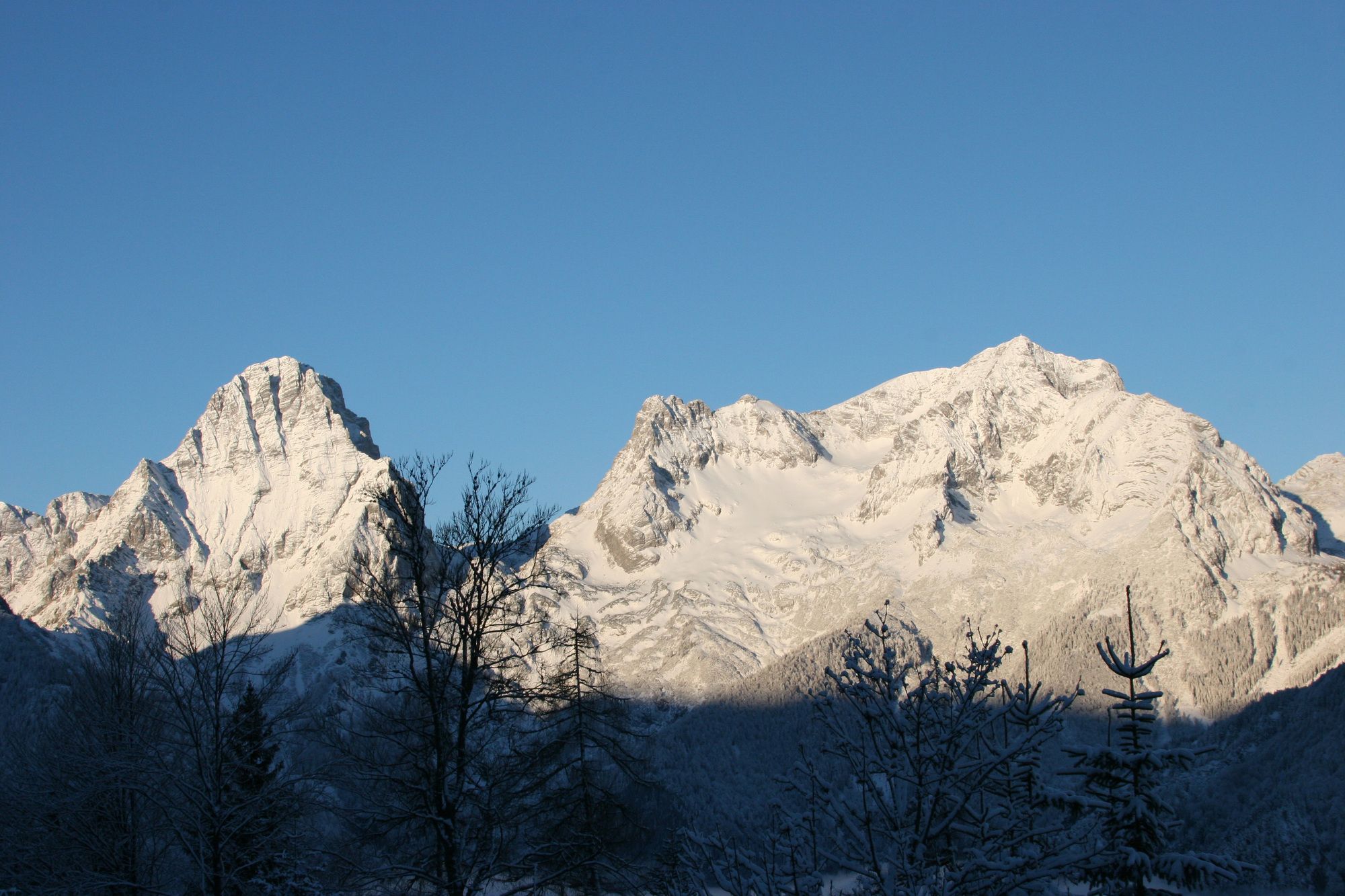
Wunderschöne Bergtour mit beeindruckendem Panorama, die aufgrund der Länge allerdings eine gute Kondition und Trittsicherheit erfordert!
- Dificultad
-
difícil
- Valoración
-
- Punto de salida
-
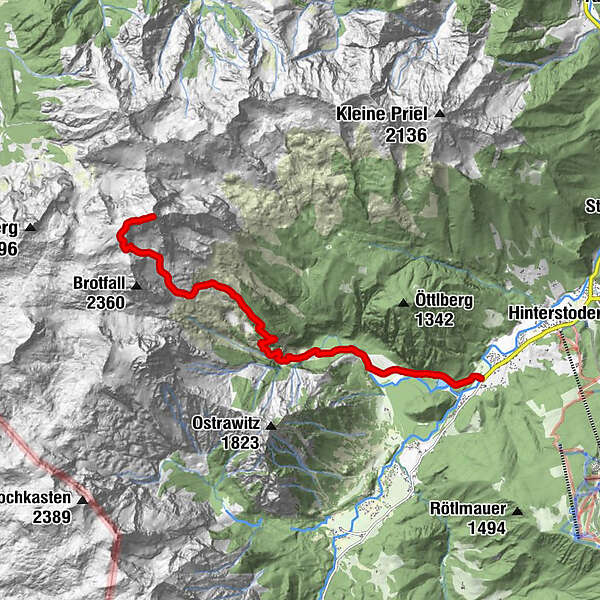
Johannishof (605 m)
- Ruta
-
Polsterstüberl2,0 kmKlinserfall4,3 kmGroßer Ofen4,5 kmPrielschutzhaus6,6 kmBrotfallscharte (2.325 m)9,5 kmGroßer Priel (2.515 m)10,7 km
- La mejor temporada
-
enefebmarabrmayjunjulagosepoctnovdic
- Punto álgido
- 2.476 m
- Descanso/Avituallamiento
-
Prielschutzhaus
- Material cartográfico
-
Wanderkarte Pyhrn-Priel erhältlich in allen Pyhrn-Priel Tourismusbüros!

GPS Downloads


Superficie de carretera
Asfalto
Gravilla
Pradera
Bosque
Roca
Expuesto
Más circuitos por las regiones


