
Datos del tour
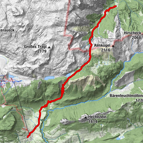
15,54km
722
- 1.708m
902hm
652hm
06:53h
- Breve descripción
-
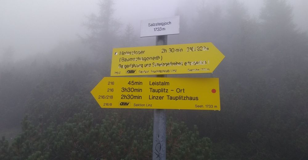
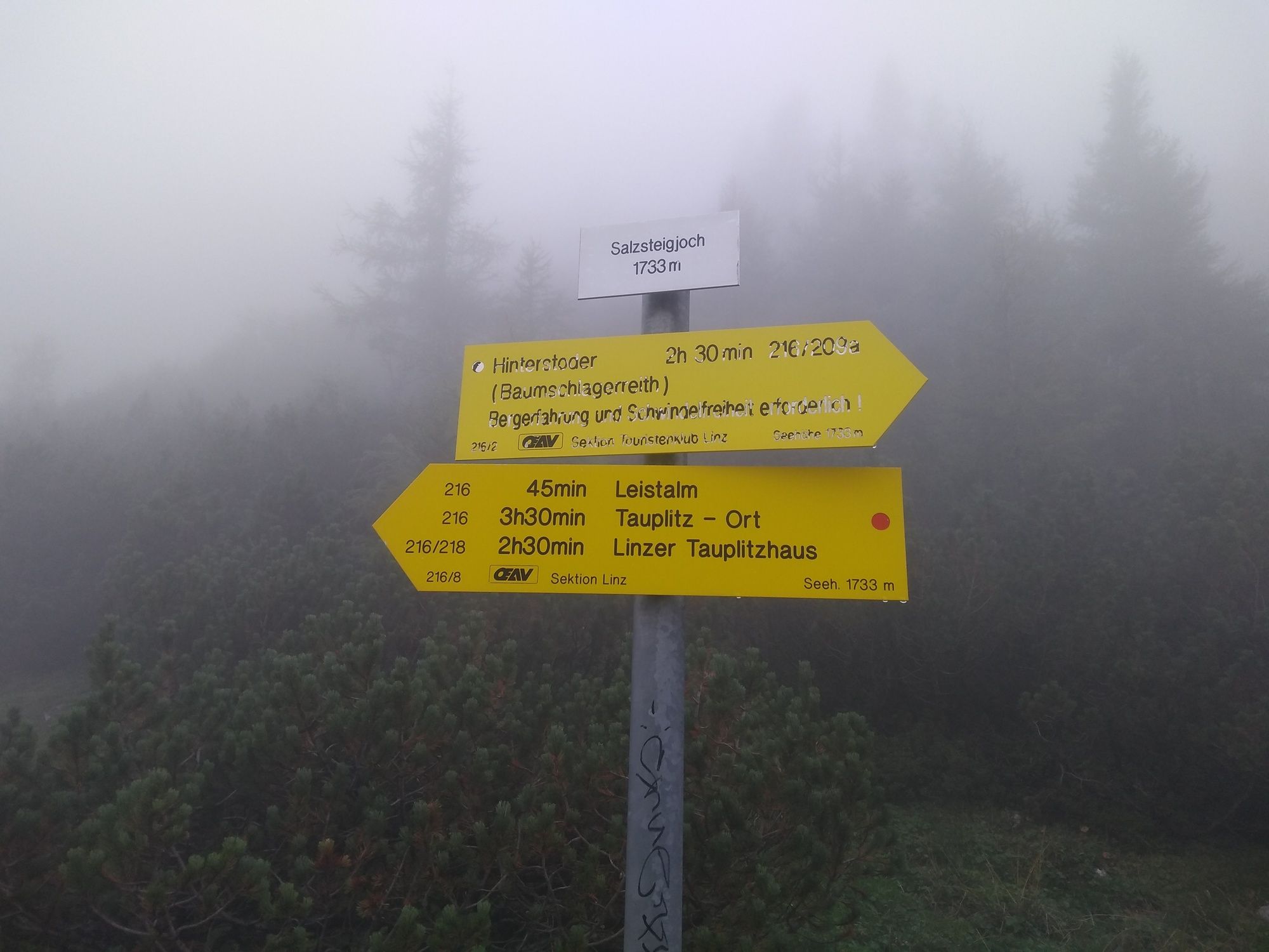
Wanderung über das Salzsteigjoch von Hinterstoder-Baumschlagerreith nach Tauplitz Ort
- Dificultad
-
difícil
- Valoración
-
- Punto de salida
-
Parkplatz Baumschlagerreith
- Ruta
-
Almgasthof BaumschlagerreithRiesen Höhe8,1 kmTauplitz15,4 km
- La mejor temporada
-
enefebmarabrmayjunjulagosepoctnovdic
- Punto álgido
- 1.708 m
- Punto final
-
Tauplitz Ort
- Descanso/Avituallamiento
-
Gasthaus Baumschlagerreith, Leistalm
GPS Downloads


Superficie de carretera
Asfalto
Gravilla
Pradera
Bosque
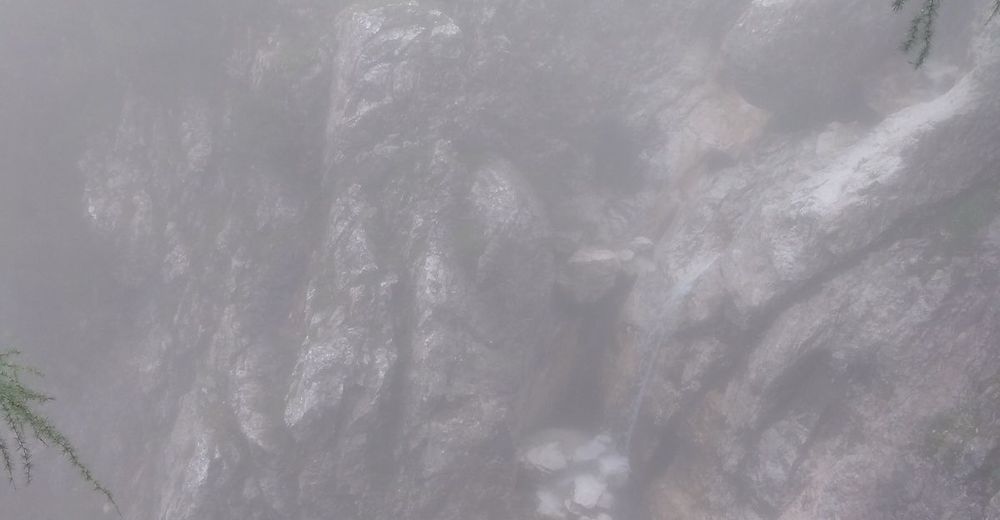
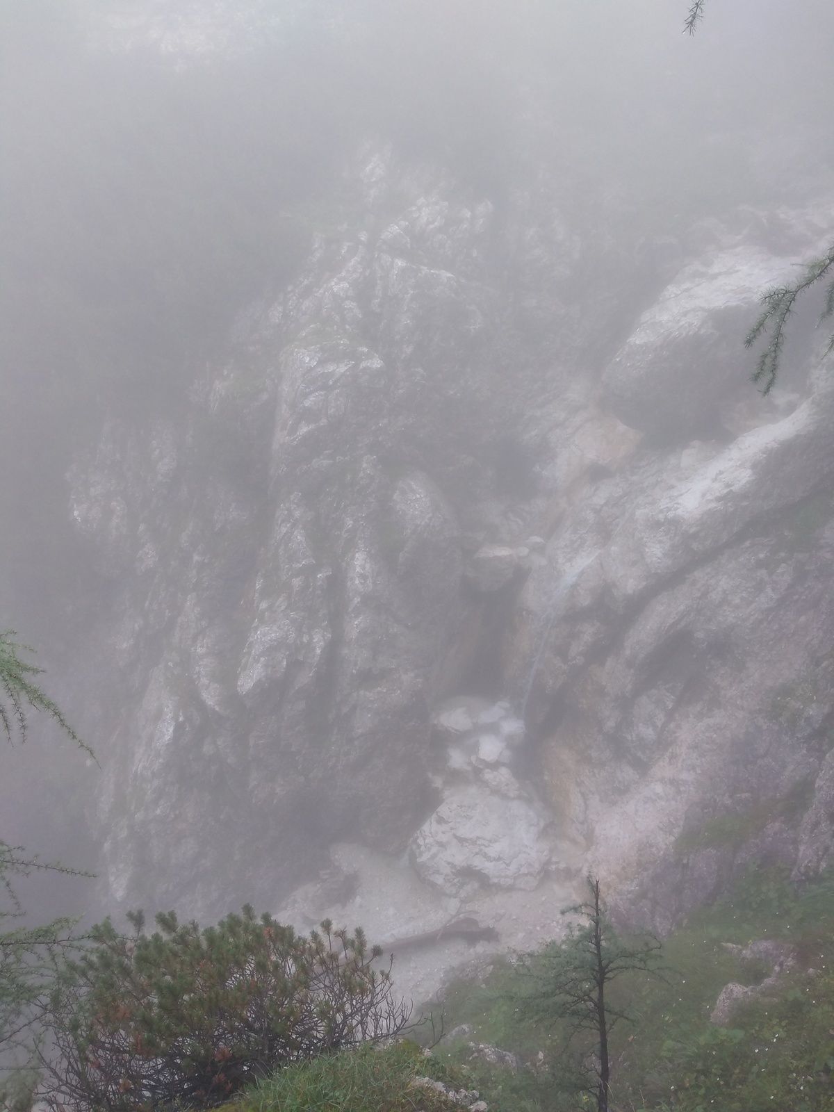
Roca
Expuesto
Más circuitos por las regiones
-
Ausseerland - Salzkammergut
3382
-
Grimming - Donnersbachtal
976
-
Tauplitz
305


