OÖ Voralpen: Möderndorfer Rundwanderung

Senderismo
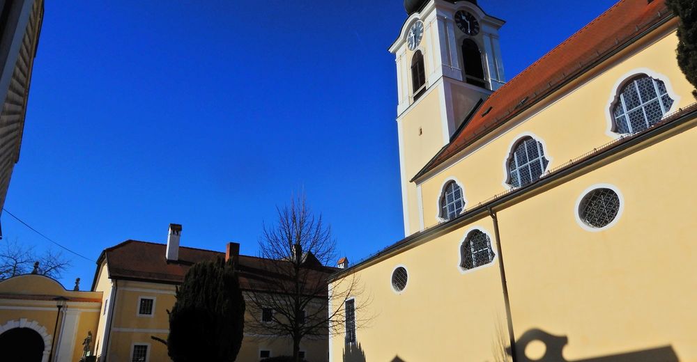
© gert gasperin
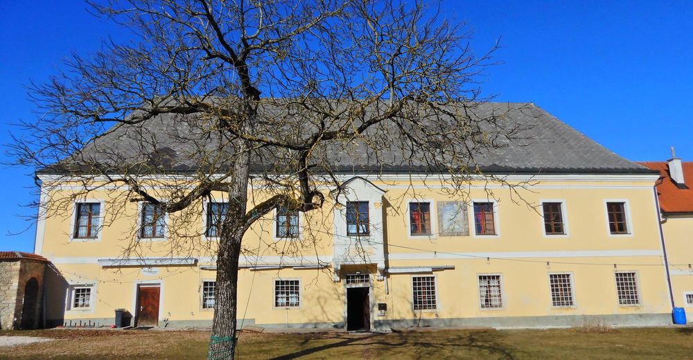
© gert gasperin
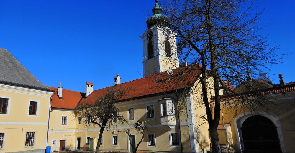
© gert gasperin
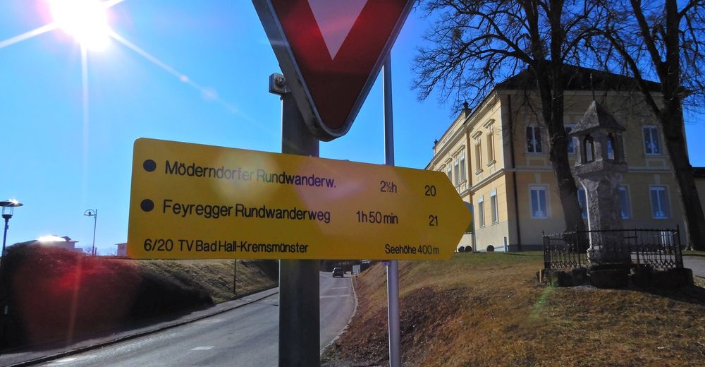
© gert gasperin
© gert gasperin
© gert gasperin
© gert gasperin
© gert gasperin
© gert gasperin
© gert gasperin
Datos del tour
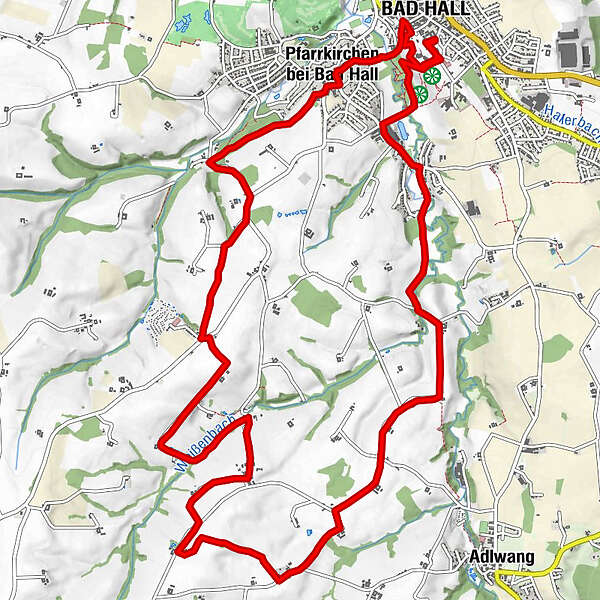
16,2km
358
- 487m
214hm
195hm
05:30h
- Breve descripción
-
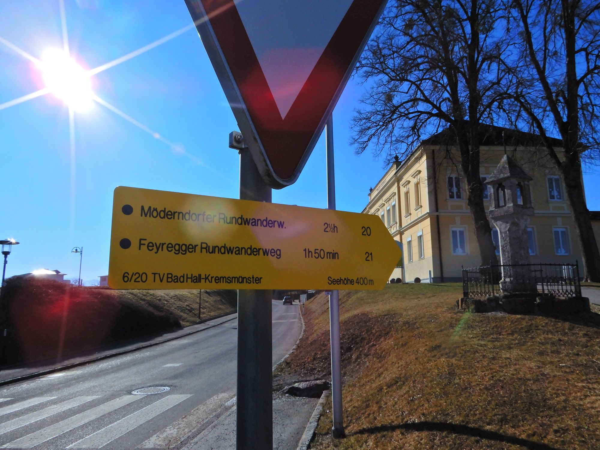
Möderndorfer Rundwanderweg 20
- Dificultad
-
fácil
- Valoración
-
- Punto de salida
-
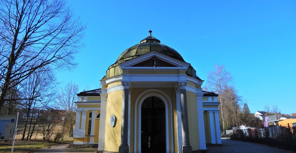
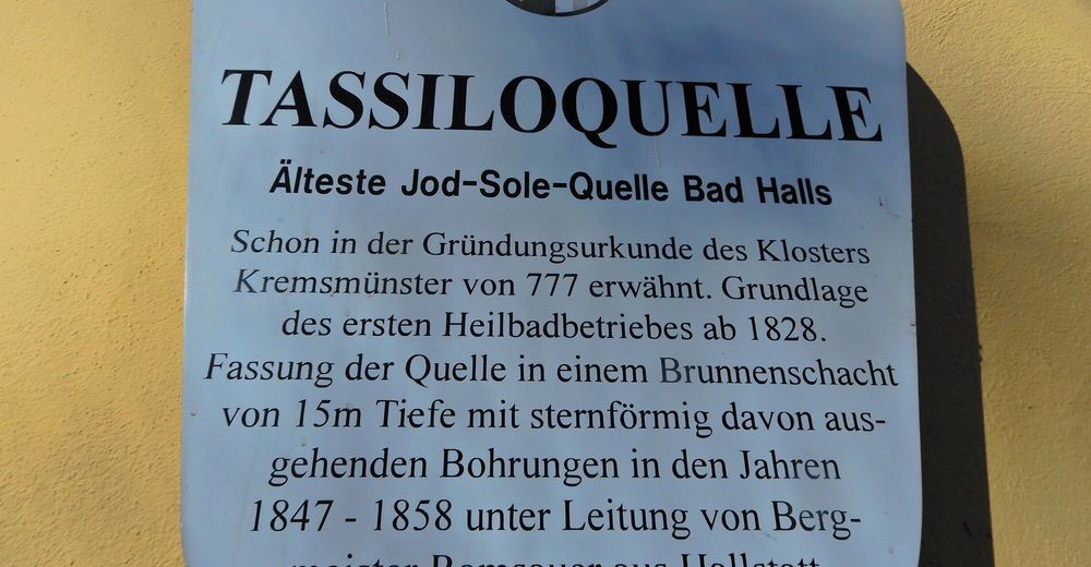
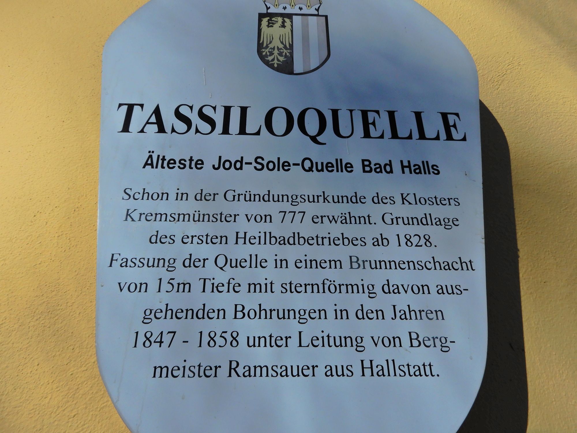
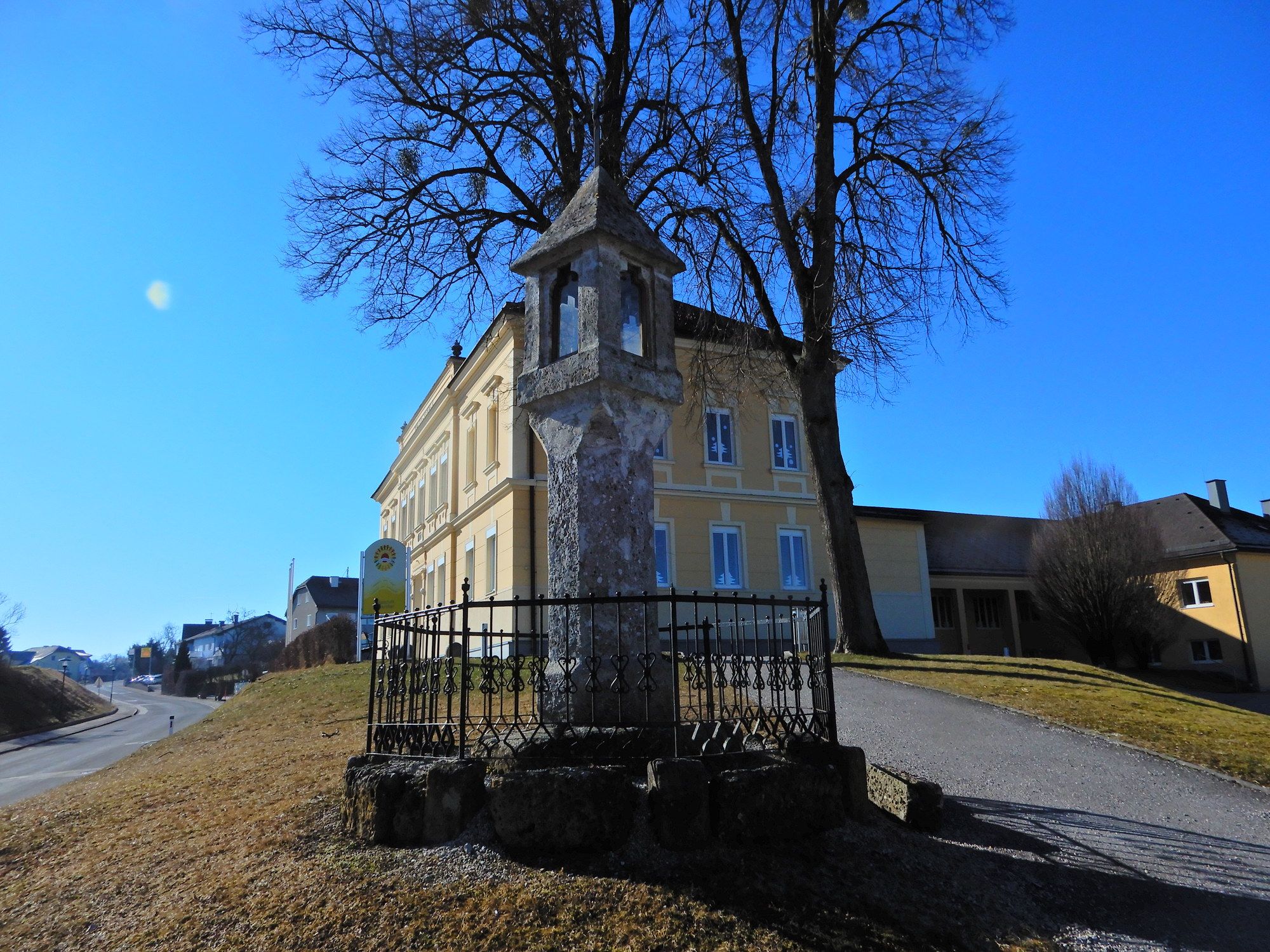
Bad Hall
- Ruta
-
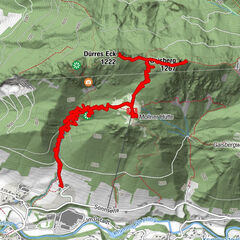
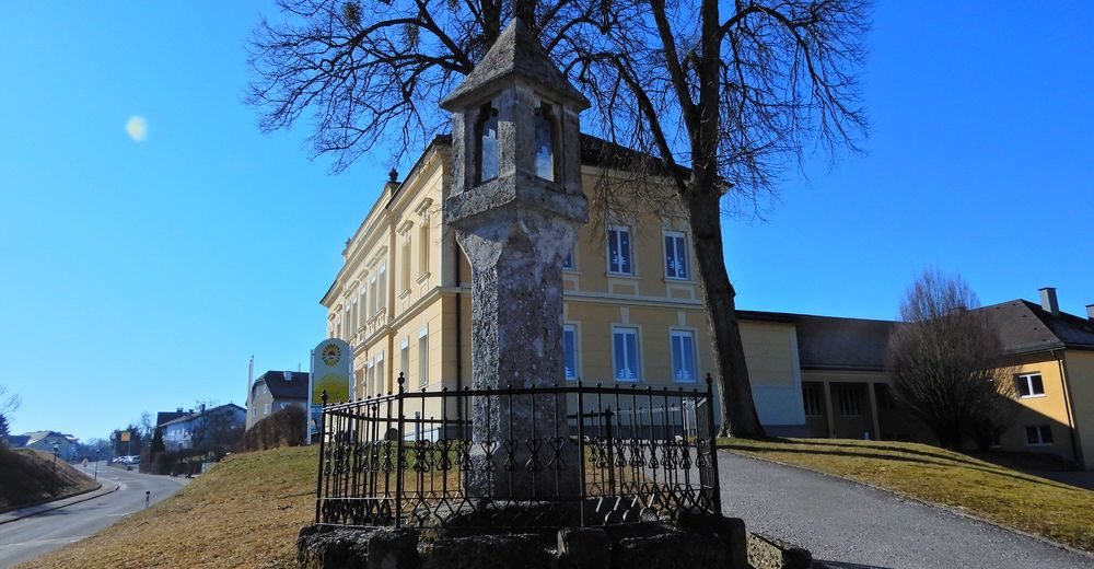
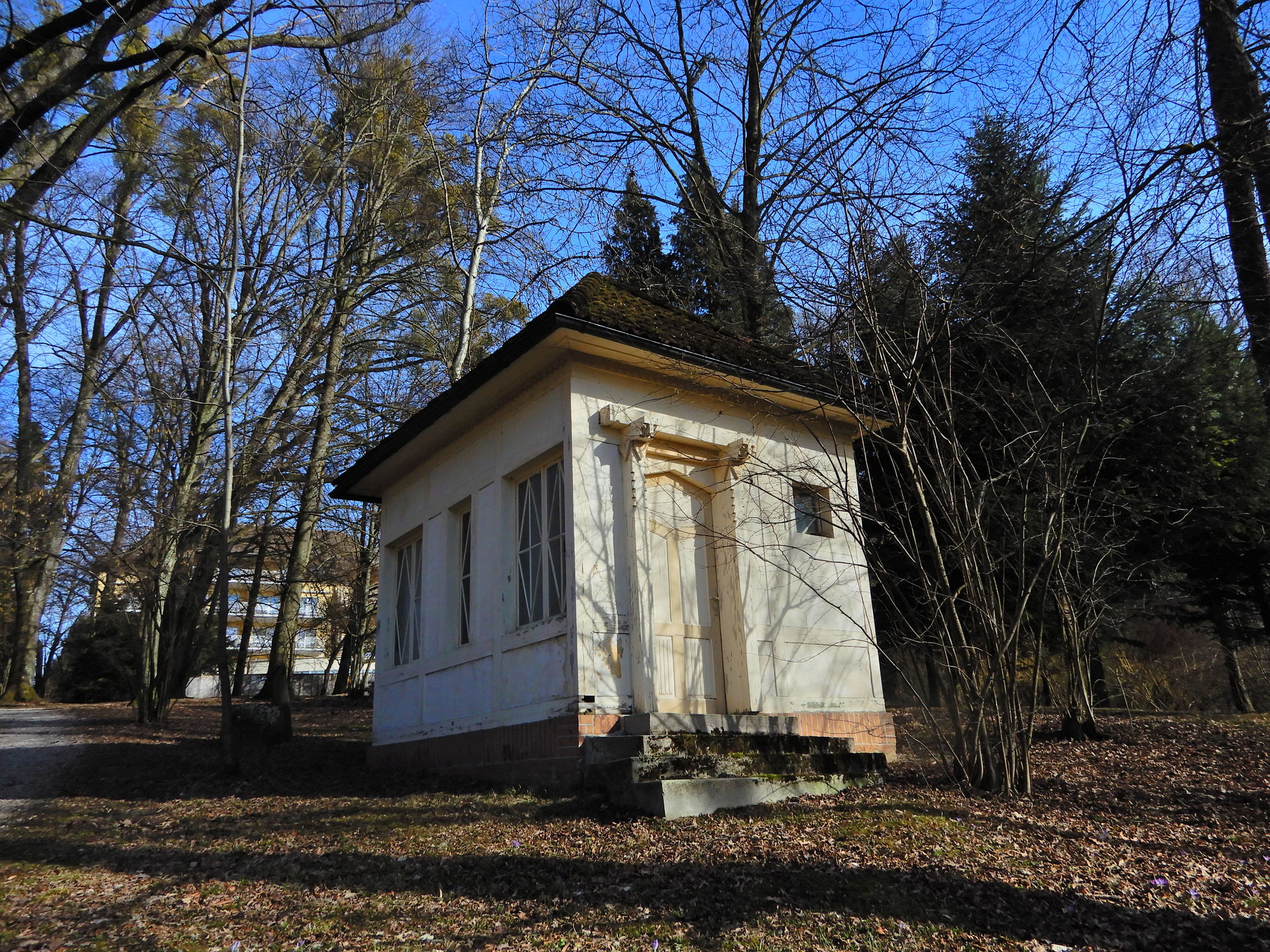
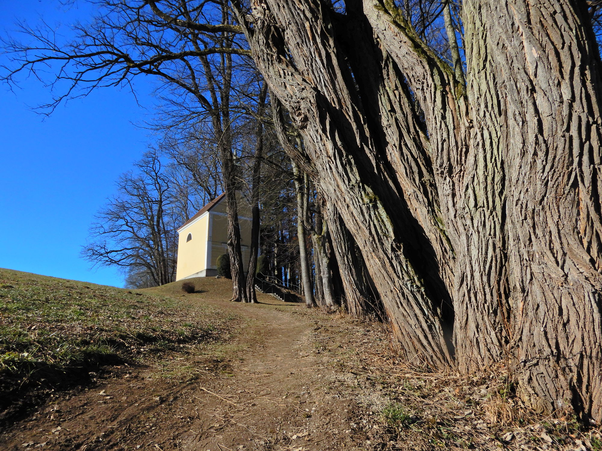
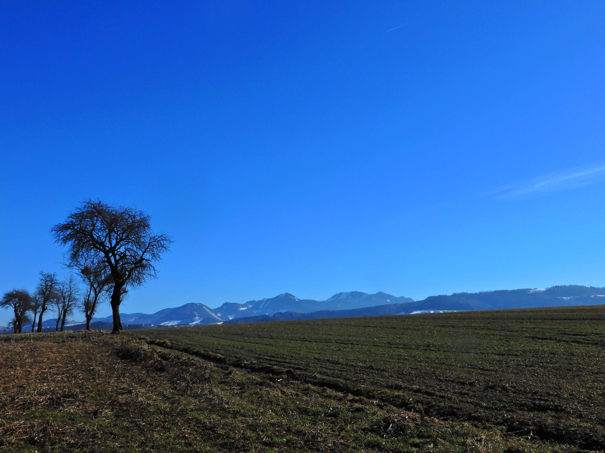
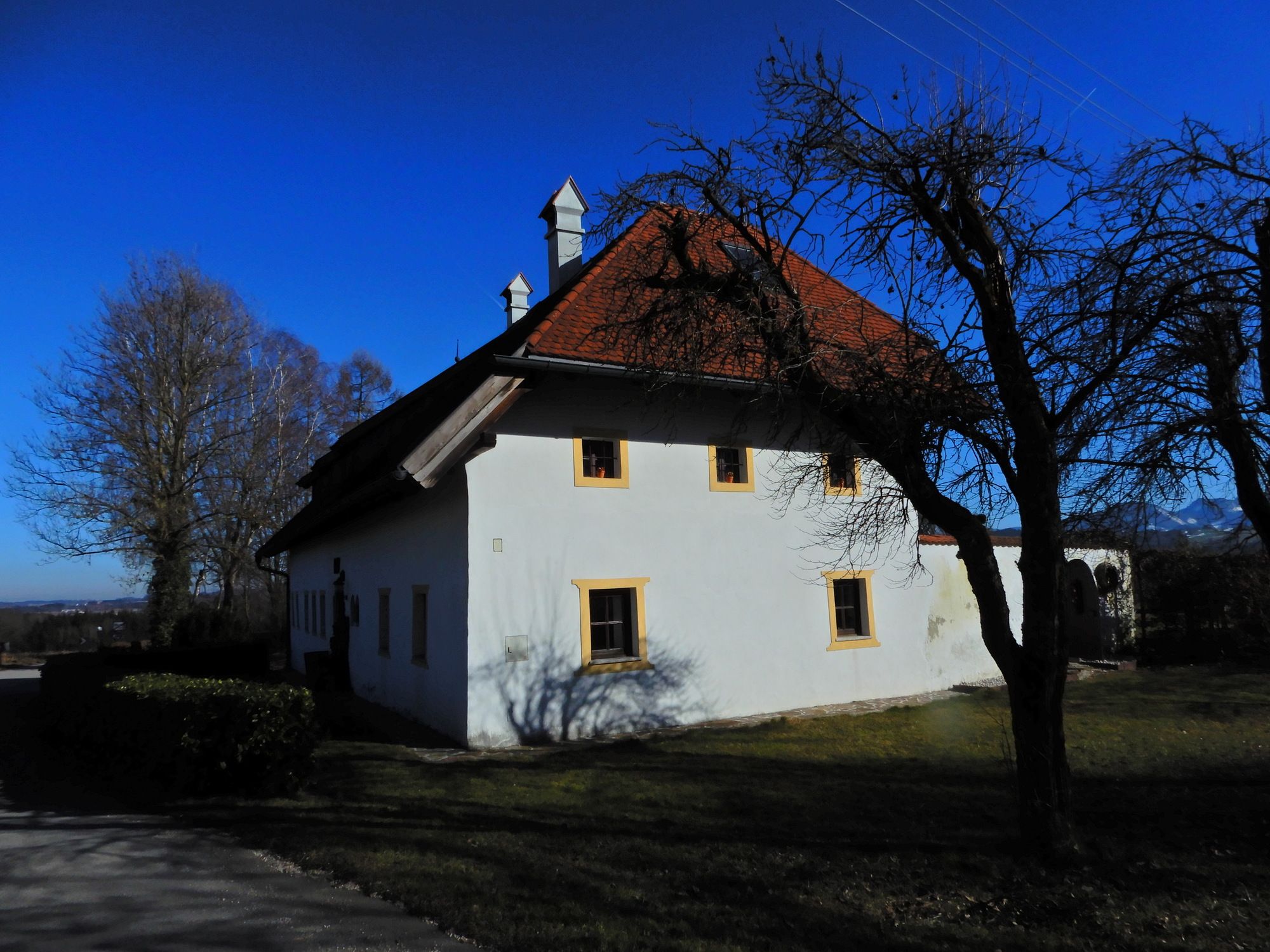
Bad Hall0,9 kmPfarrkirchen bei Bad Hall1,9 kmKapelle2,5 kmMöderndorf5,6 kmMandorf10,0 kmMühlgrub14,2 kmLia's Fisch Schmied'n14,4 kmBad Hall16,1 km
- La mejor temporada
-
enefebmarabrmayjunjulagosepoctnovdic
- Punto álgido
- 487 m
- Punto final
-
Möderndorf


GPS Downloads


Superficie de carretera
Asfalto
Gravilla
Pradera
Bosque
Roca
Expuesto
Más circuitos por las regiones