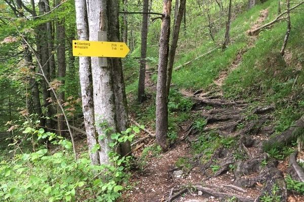
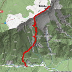
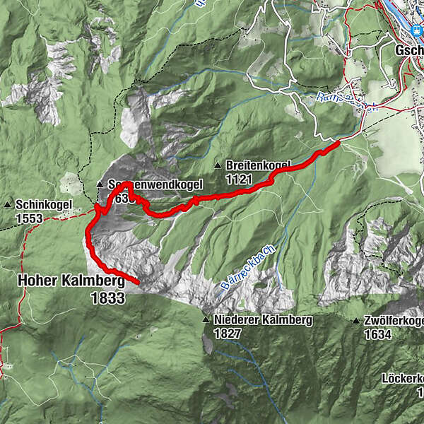
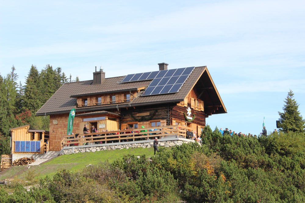
Hiking trail to the Goisern Hut and the summit of the Kalmberg

Senderismo

© Ferienregion Dachstein Salzkammergut / Elisabeth Grill

© Ferienregion Dachstein Salzkammergut

- Breve descripción
-
This three-hour high alpine tour takes you through the Ramsau mountain range past some places of happiness to the Goiserer hut and on to the summit of the Kalmberg. The summit not only impresses with its shape, especially the overwhelming view let you hold your breath.
- Dificultad
-
difícil
- Valoración
-
- Ruta
-
Goiserer Hütte4,5 kmKalmooskirche5,0 kmHoher Kalmberg (1.833 m)5,9 km
- La mejor temporada
-
enefebmarabrmayjunjulagosepoctnovdic
- Punto álgido
- 1.812 m
- Perfil alto
-


- Autor
-
La gira Hiking trail to the Goisern Hut and the summit of the Kalmberg es utilizado por outdooractive.com proporcionado.
GPS Downloads


Información general
Punto de avituallamiento
Más circuitos por las regiones
-
Salzkammergut Oberösterreich
3082
-
Dachstein Salzkammergut
1702
-
Bad Goisern
390