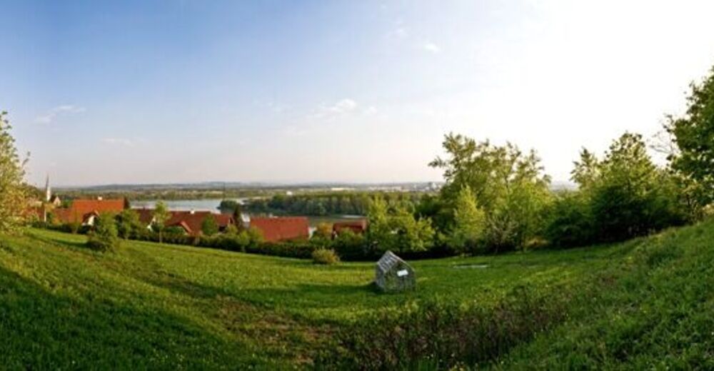
Mauthausen: Healthy municipality hiking trail

Senderismo
© WGD Donau Oberösterreich Tourismus GmbH/Weissenbrunner - Weissenbrunner
© WGD Donau Oberösterreich Tourismus GmbH/Andreas Kranzmayr - Andreas Kranzmayr
© WGD Donau Oberösterreich Tourismus GmbH/Andreas Kranzmayr - Andreas Kranzmayr
© WGD Donau Oberösterreich Tourismus GmbH/Weissenbrunner - Weissenbrunner

- Breve descripción
-
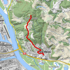
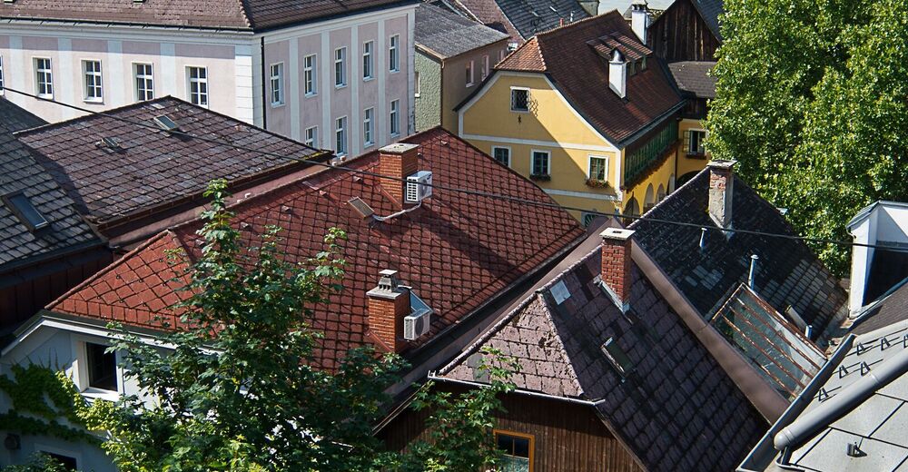
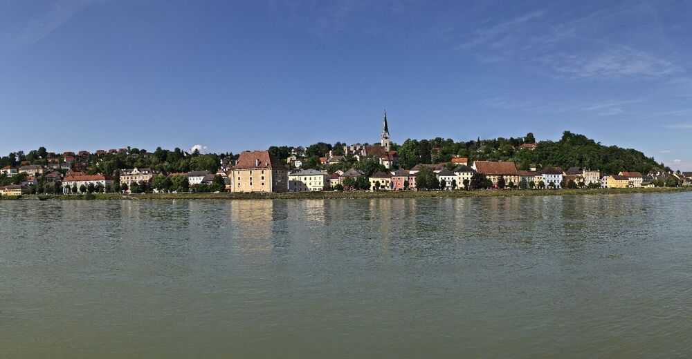
Mauthausen-Market Square-Parish Church St. Nicholas-Cemetery-Heinrichskirche Church-Mauthausen.
- Dificultad
-
fácil
- Valoración
-
- Ruta
-
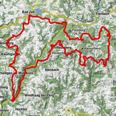
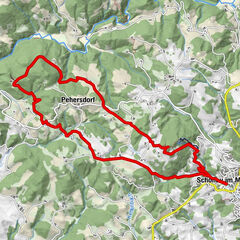
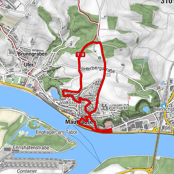
Pfarrkirche0,2 kmWeindlhof3,3 kmPfarrkirche3,4 kmHeinrichskirche3,9 kmMauthausen4,4 km
- La mejor temporada
-
enefebmarabrmayjunjulagosepoctnovdic
- Punto álgido
- 337 m
- Punto final
-
Schloss Pragstein Schlossgasse 1
- Perfil alto
-


- Autor
-
La gira Mauthausen: Healthy municipality hiking trail es utilizado por outdooractive.com proporcionado.
GPS Downloads


Información general
Punto de avituallamiento
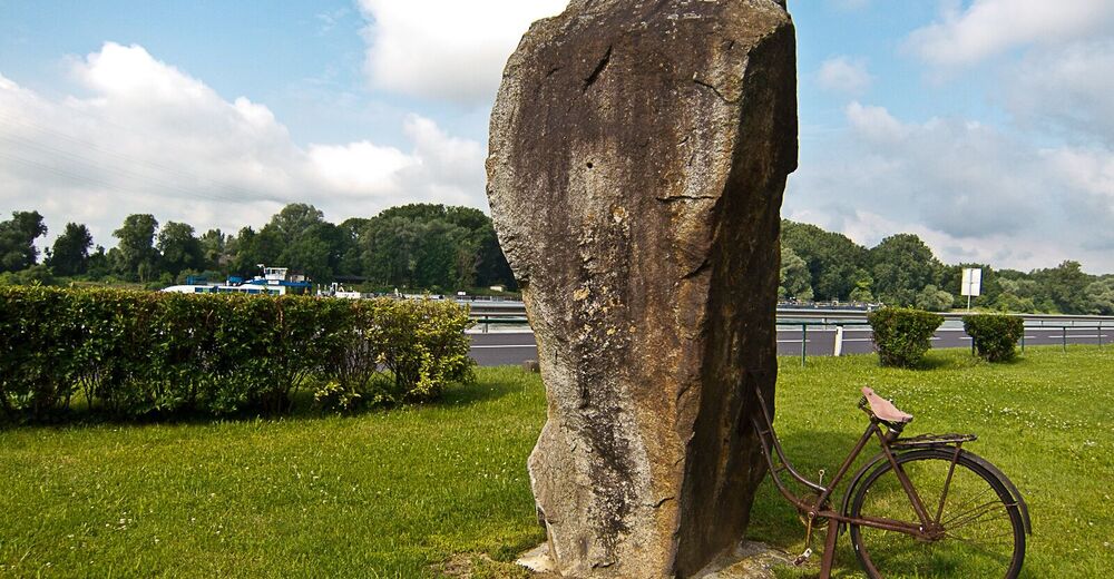
Cultural/Histórico
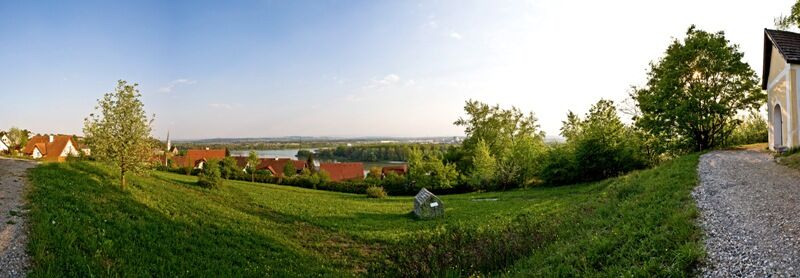
Vistas panorámicas
Más circuitos por las regiones
-
Mühlviertel
1783
-
Moststraße
754
-
Mauthausen
167