Leitner Maximilian

Leitner Maximilian

Leitner Maximilian

Leitner Maximilian

Leitner Maximilian

Leitner Maximilian

Leitner Maximilian

Leitner Maximilian

Leitner Maximilian

Leitner Maximilian
Datos del tour
11,5km
491
- 1.278m
911hm
906hm
03:45h
- Breve descripción
-
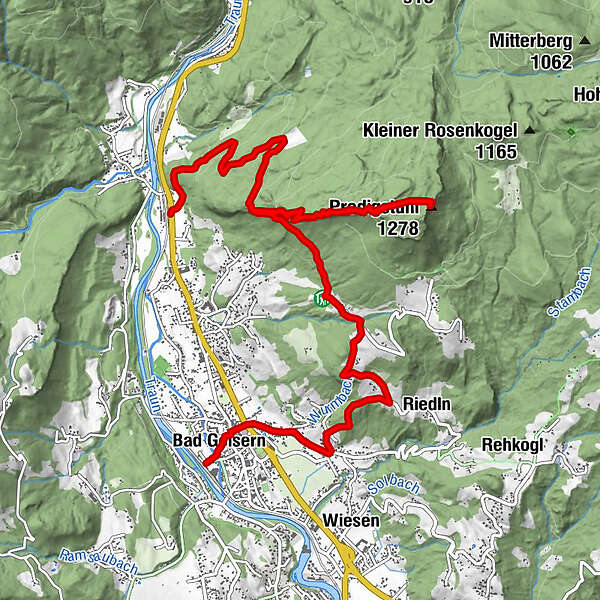
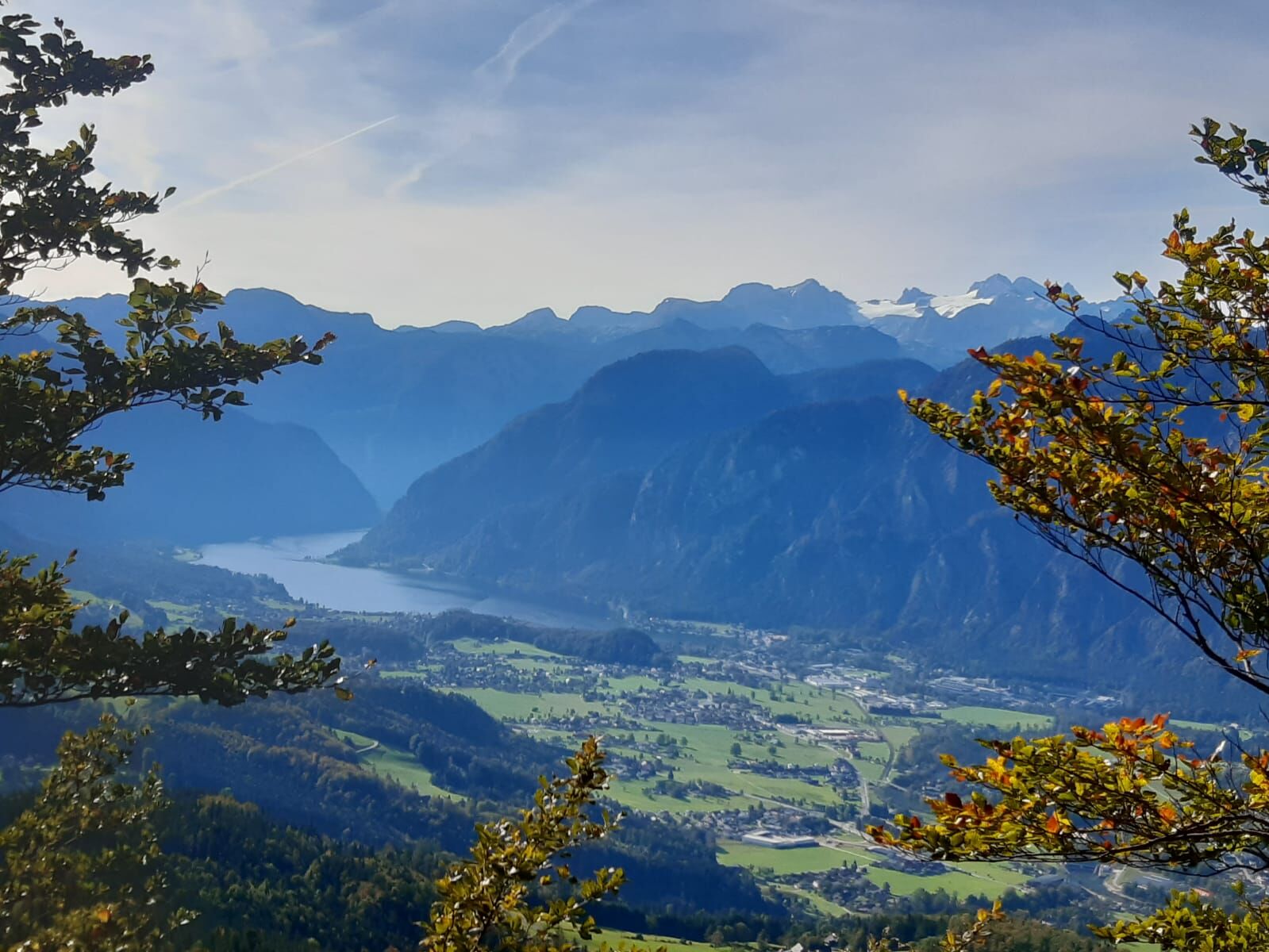
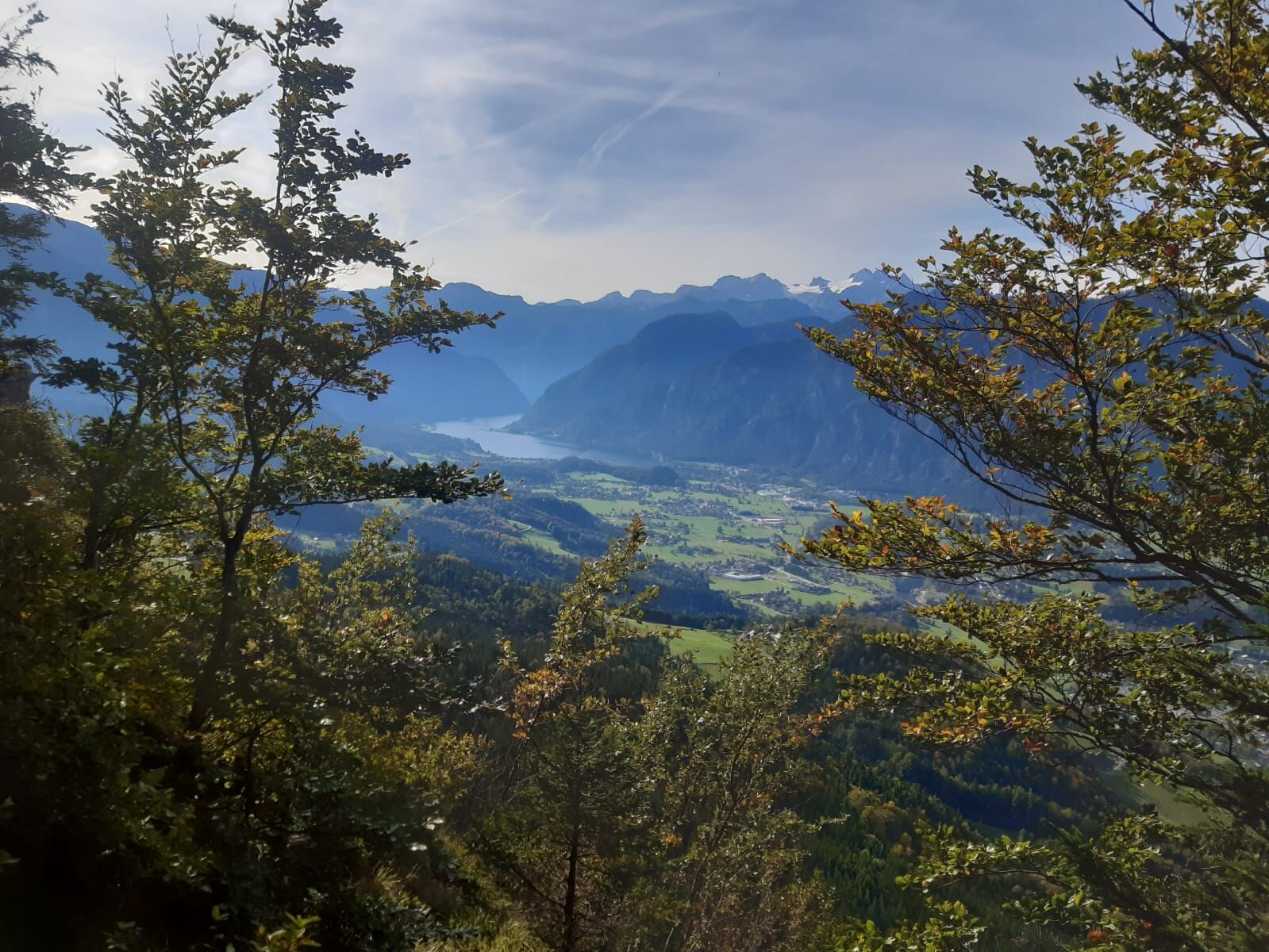
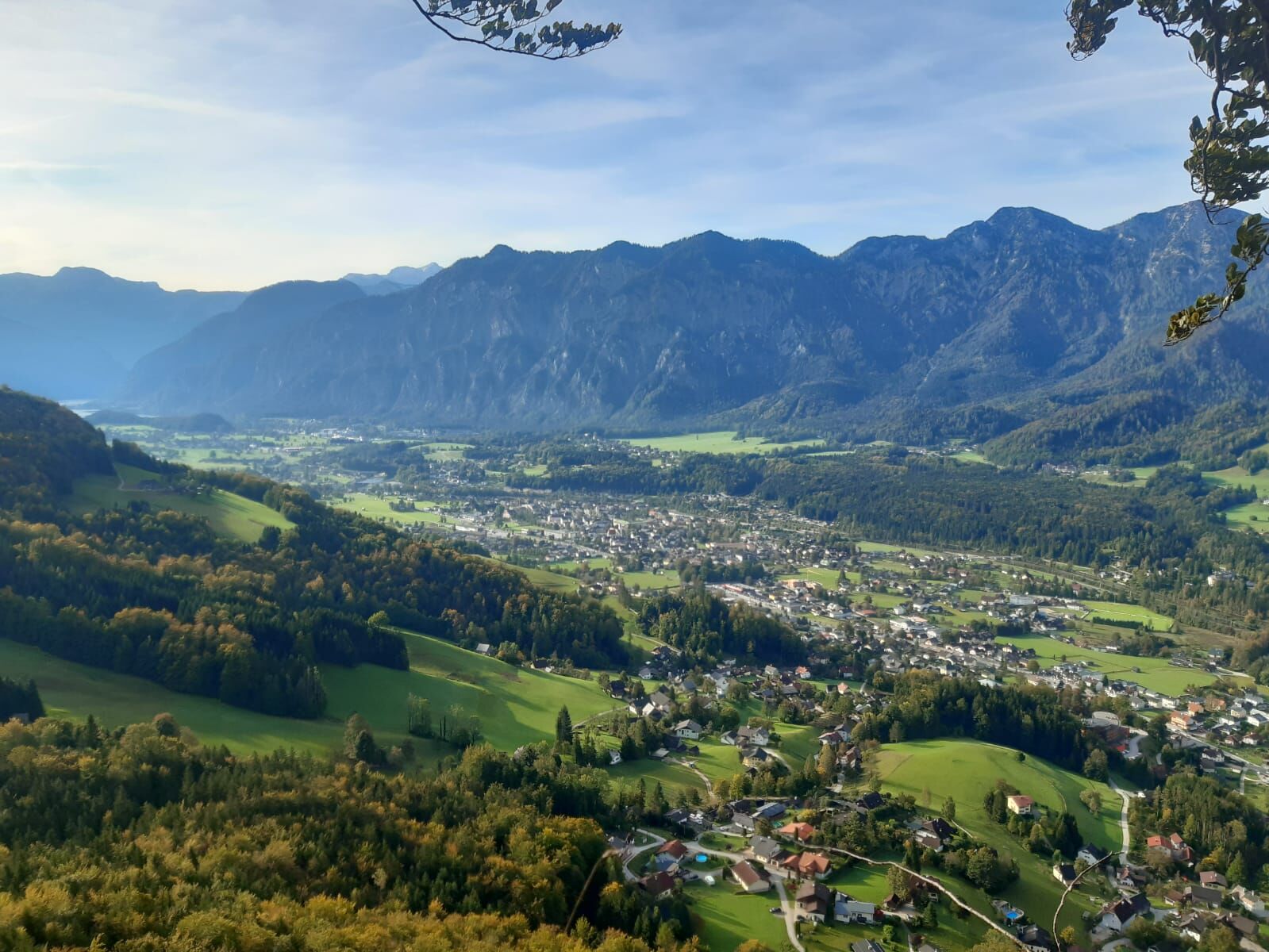
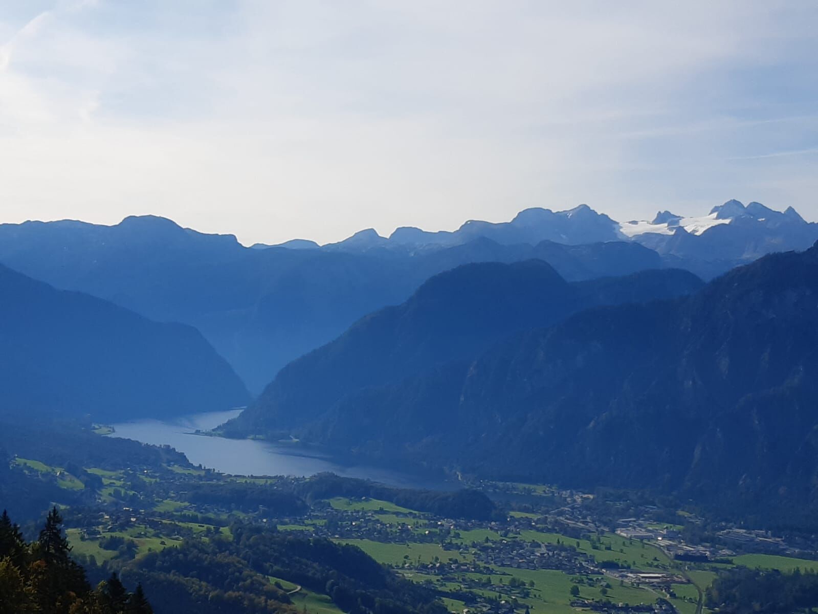
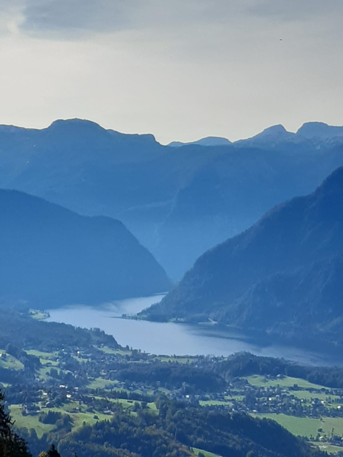
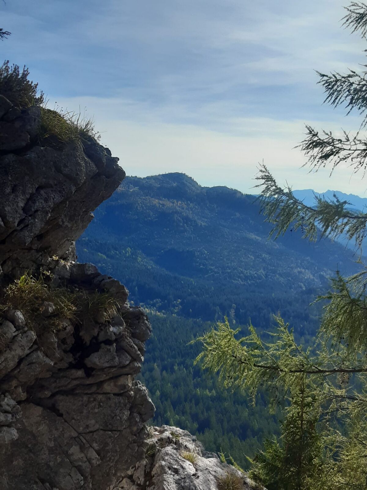
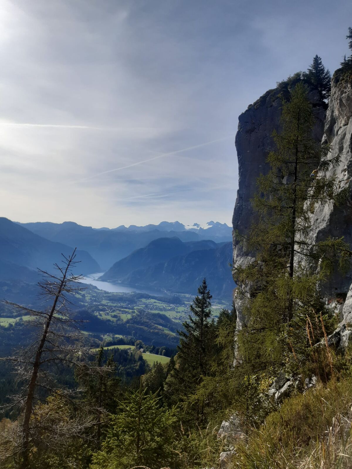
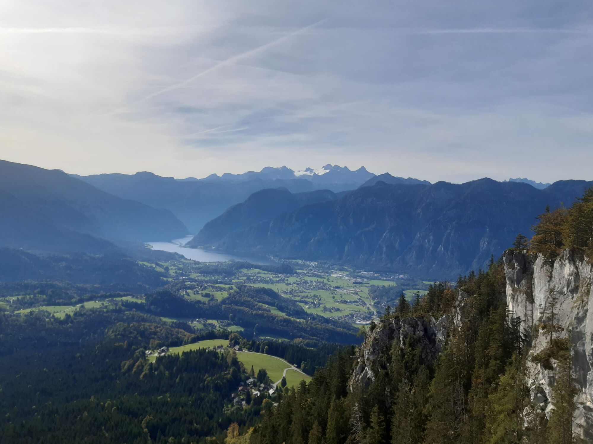
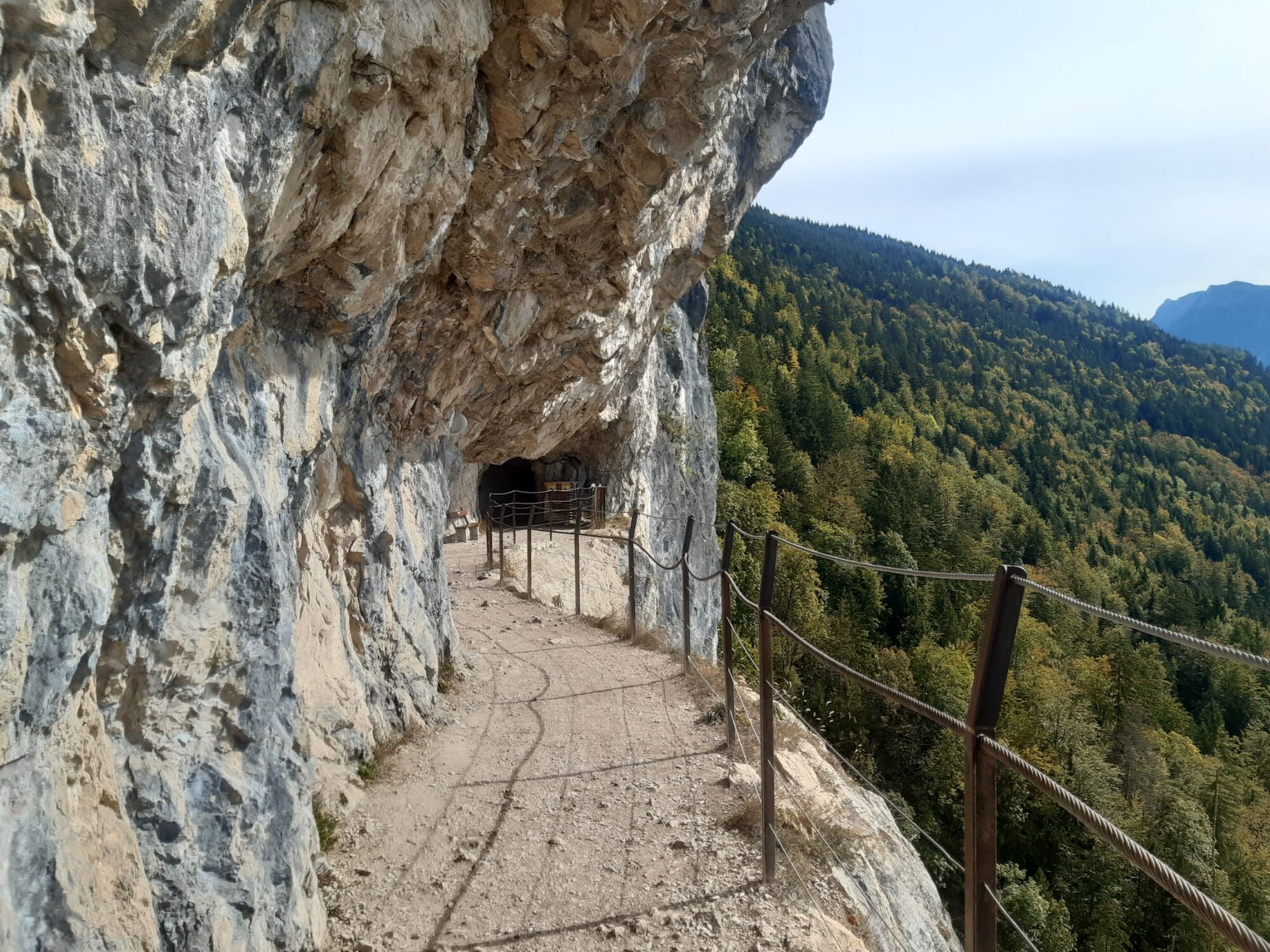
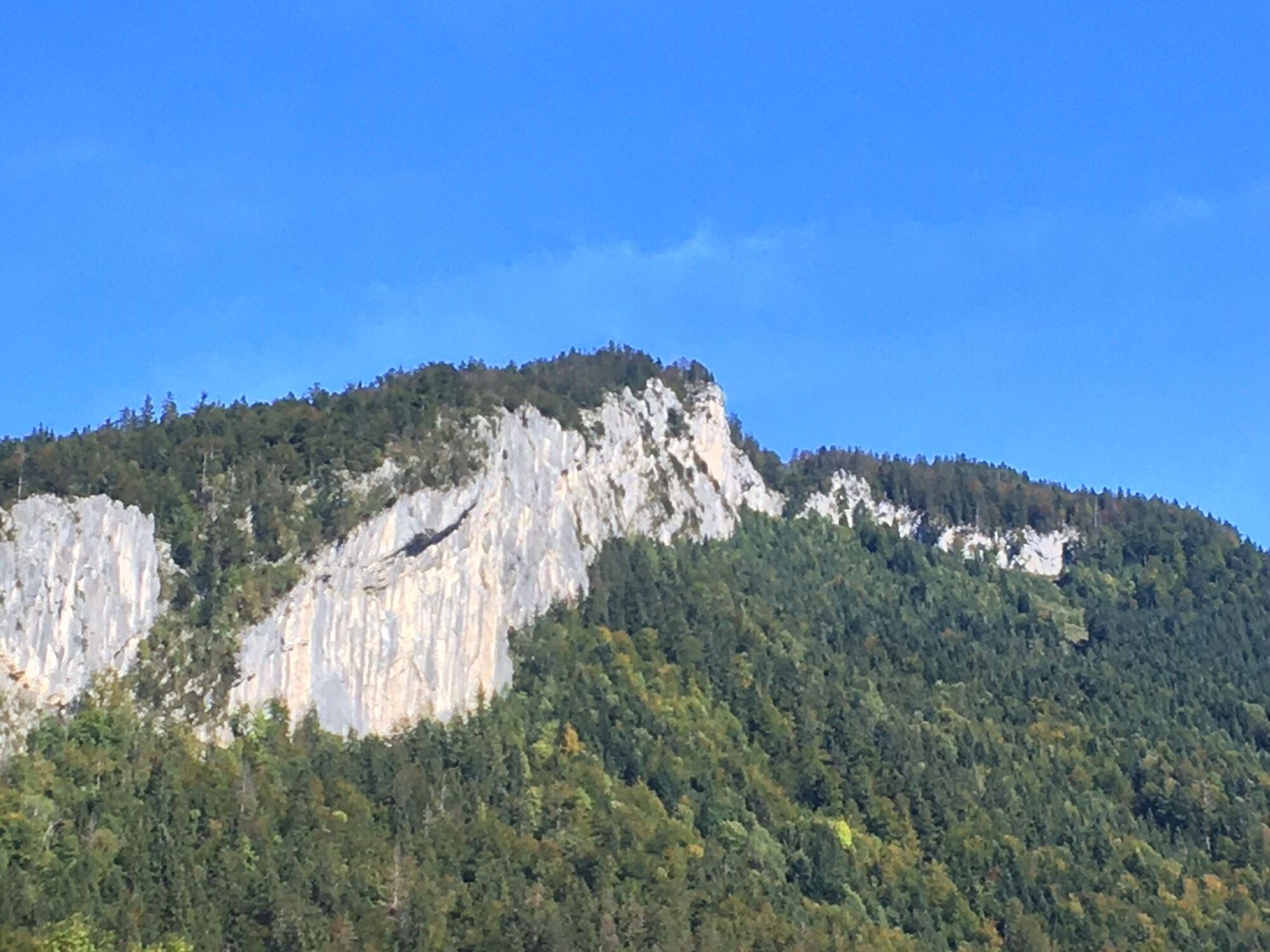
Einfache Bergwanderung vom Bahnhof Goisern-Jodschwefelbad auf den Predigstuhl (1278m) und zurück zum Bahnhof Bad Goisern
- Dificultad
-
medio
- Valoración
-
- Punto de salida
-
Bahnhof Goisern-Jodschwefelbad
- Ruta
-
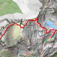
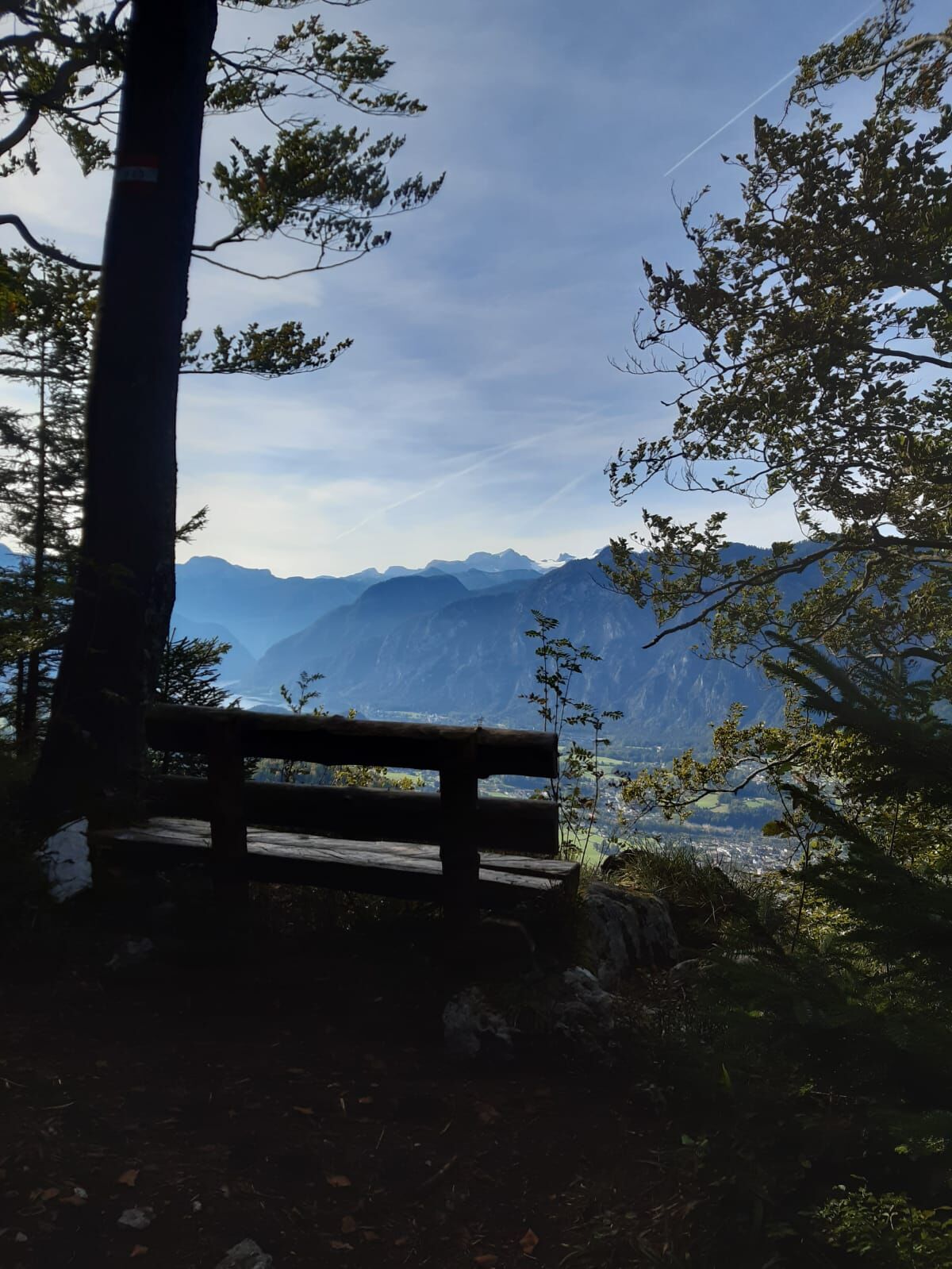
Blaschek-Warte3,3 kmPredigstuhl (1.278 m)4,5 kmRadsteig5,2 kmBlaschek-Warte6,0 kmRathlucken Hütte7,7 kmIm Rath7,9 kmWurmstein8,5 kmLasern10,1 kmMoserwirt11,0 kmPizzeria Romana11,0 kmBad Goisern am Hallstättersee11,3 kmGschwandt11,5 kmBad Goisern11,5 km
- La mejor temporada
-
enefebmarabrmayjunjulagosepoctnovdic
- Punto álgido
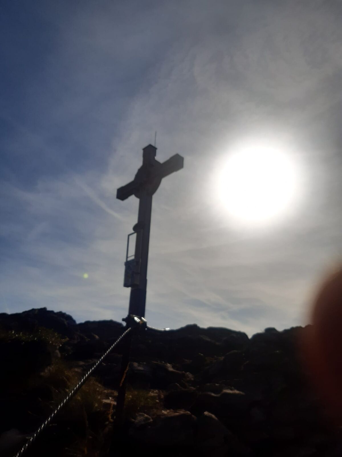
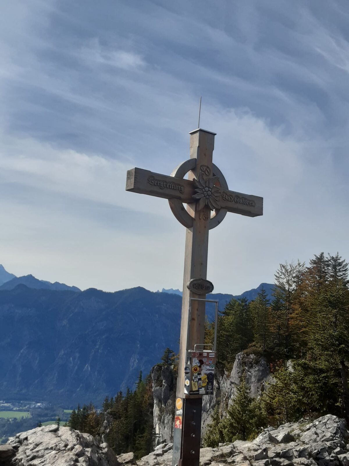
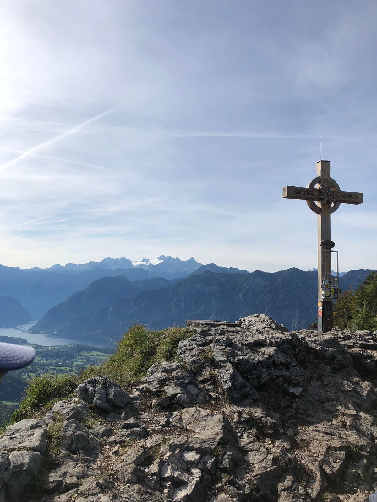
- Predigstuhl (1.278 m)
- Punto final
-
Bahnhof Bad Goisern
- Descanso/Avituallamiento
-
Rathluck&039;n-Hütte
- Fuente
- Leitner Maximilian
GPS Downloads


Superficie de carretera
Asfalto
Gravilla
Pradera
Bosque
Roca
Expuesto
Más circuitos por las regiones
-
Salzkammergut Oberösterreich
3080
-
Bad Ischl
1646
-
Bad Goisern
390