Datos del tour
13,5km
278
- 299m
48hm
48hm
02:33h
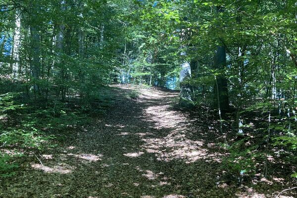
- Breve descripción
-
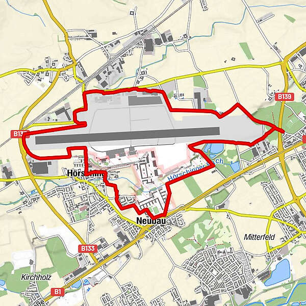
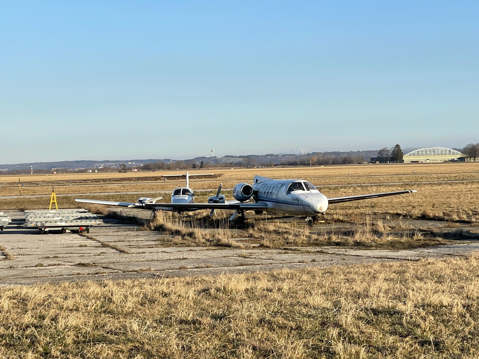
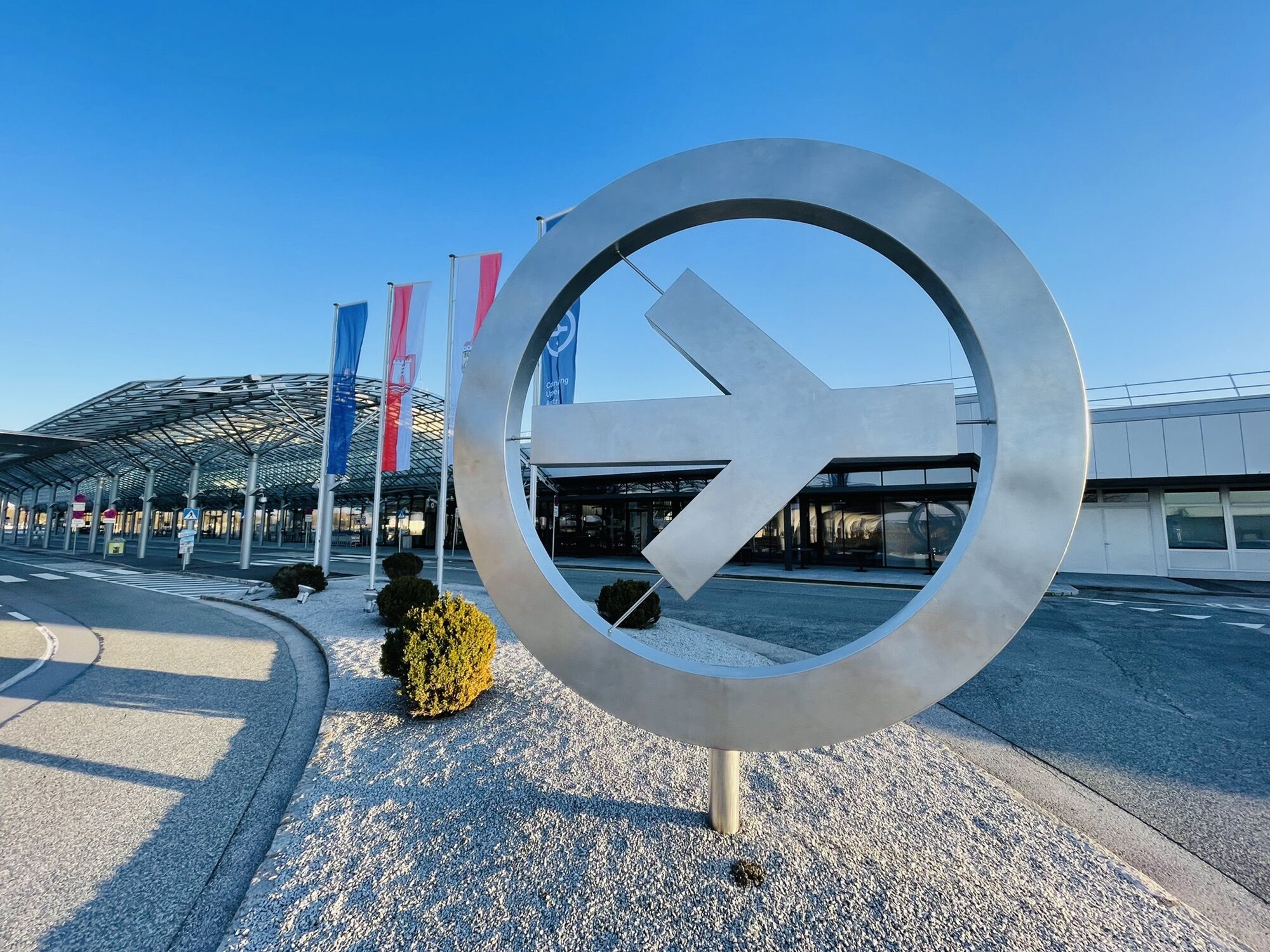
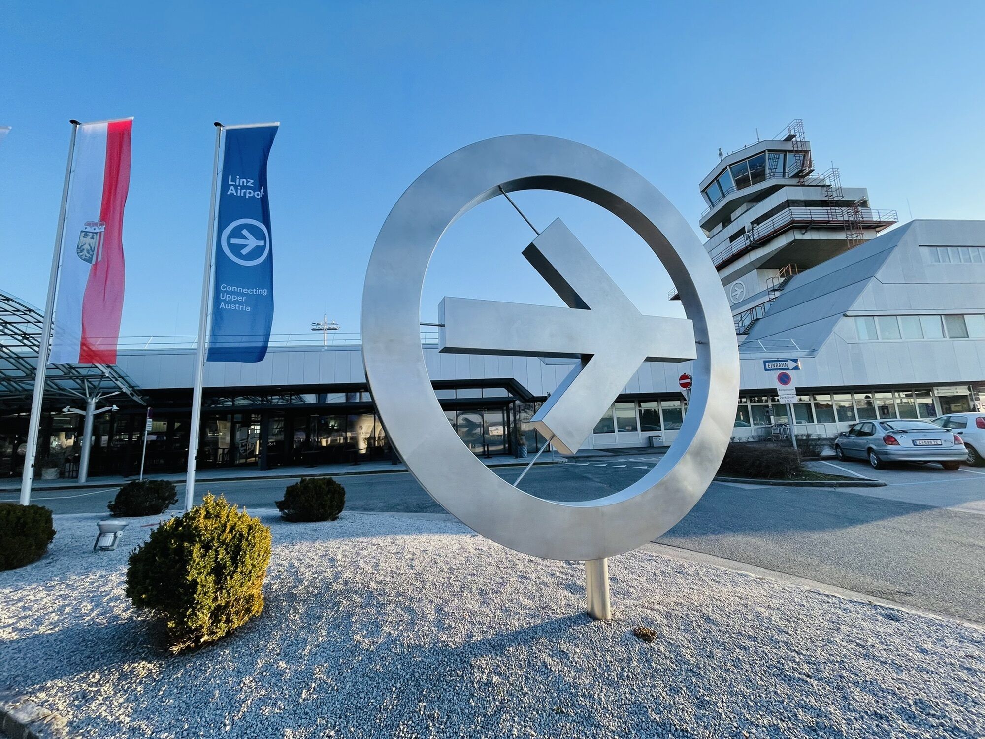
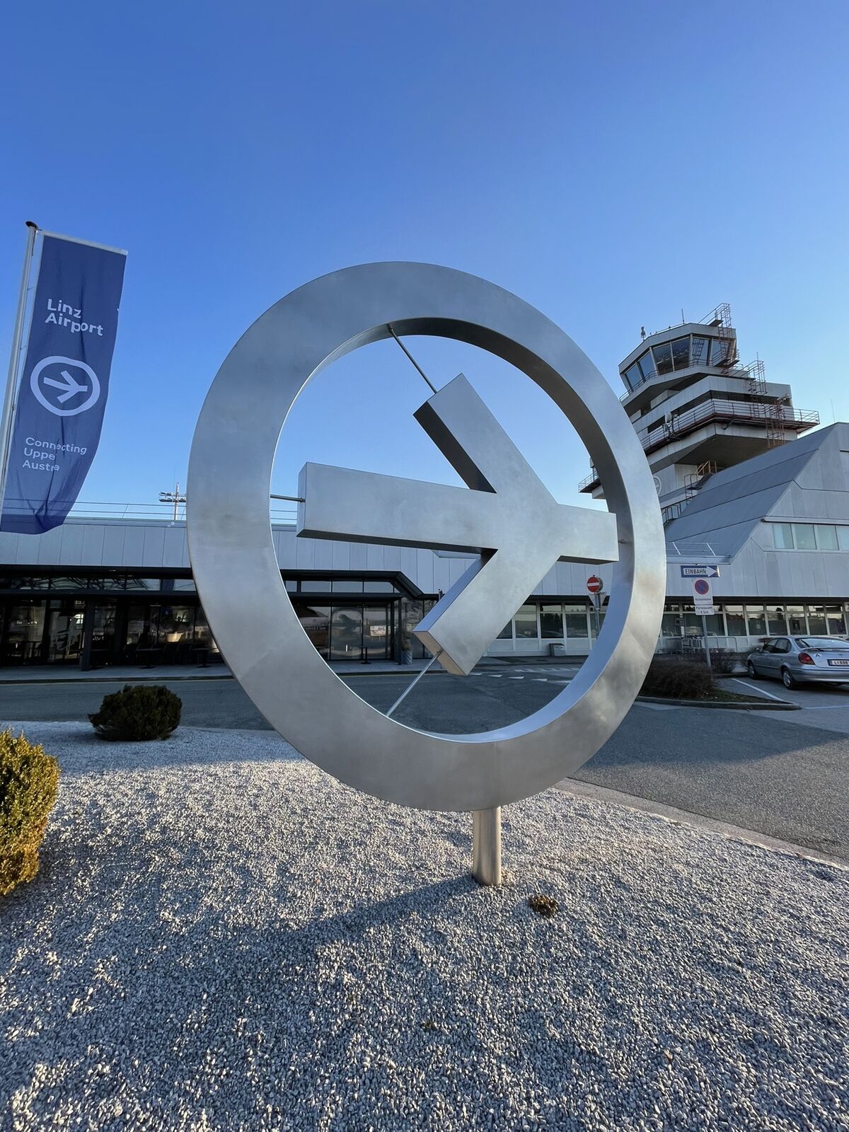
Airport Roundabout Linz
- Dificultad
-
fácil
- Valoración
-
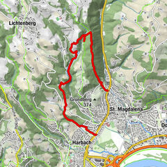
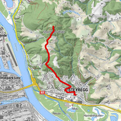
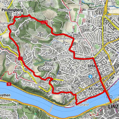
- Ruta
-
Neubau3,6 kmFeuersteinsiedlung4,5 kmHörsching5,6 kmAistental10,5 km
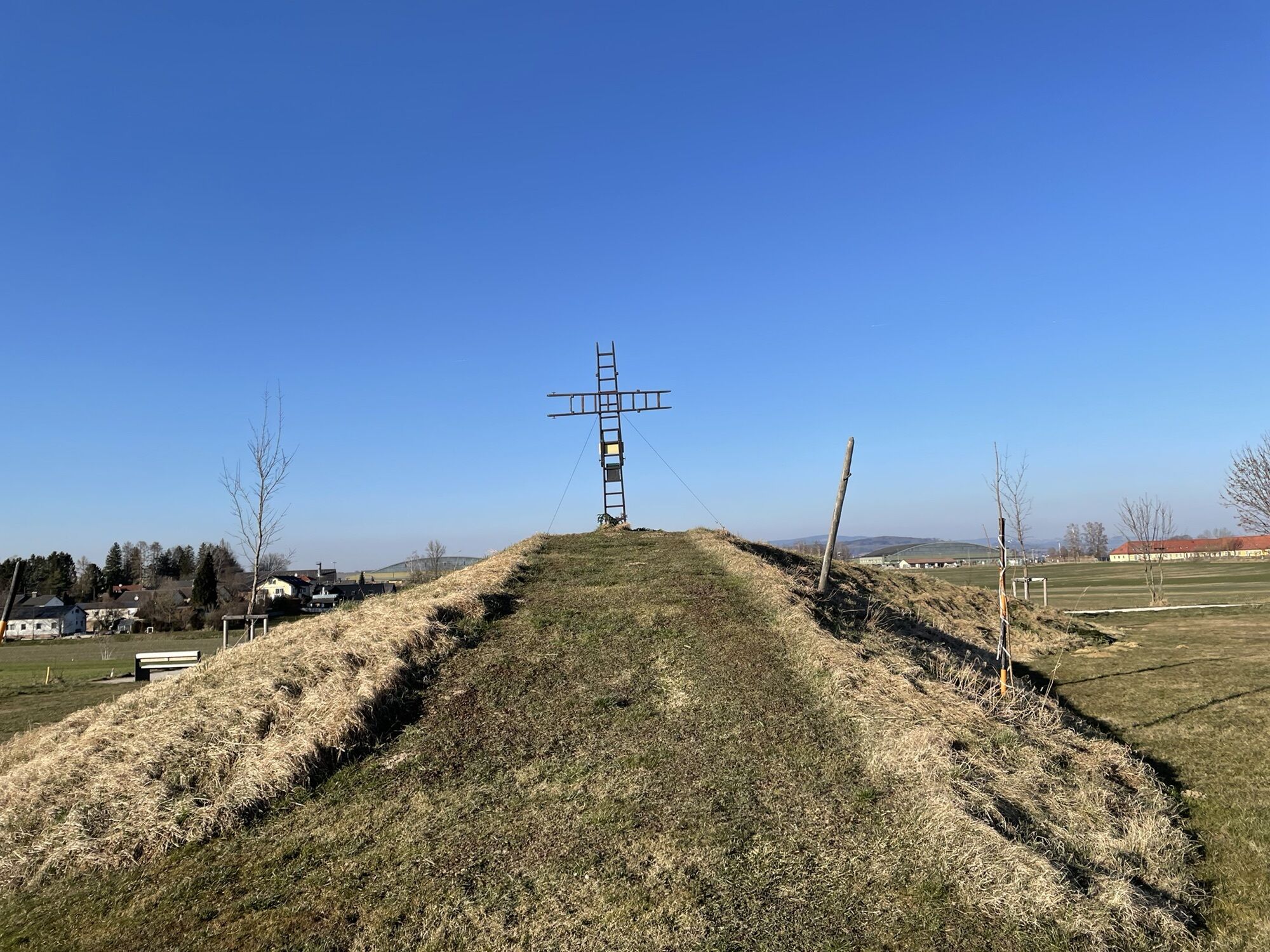
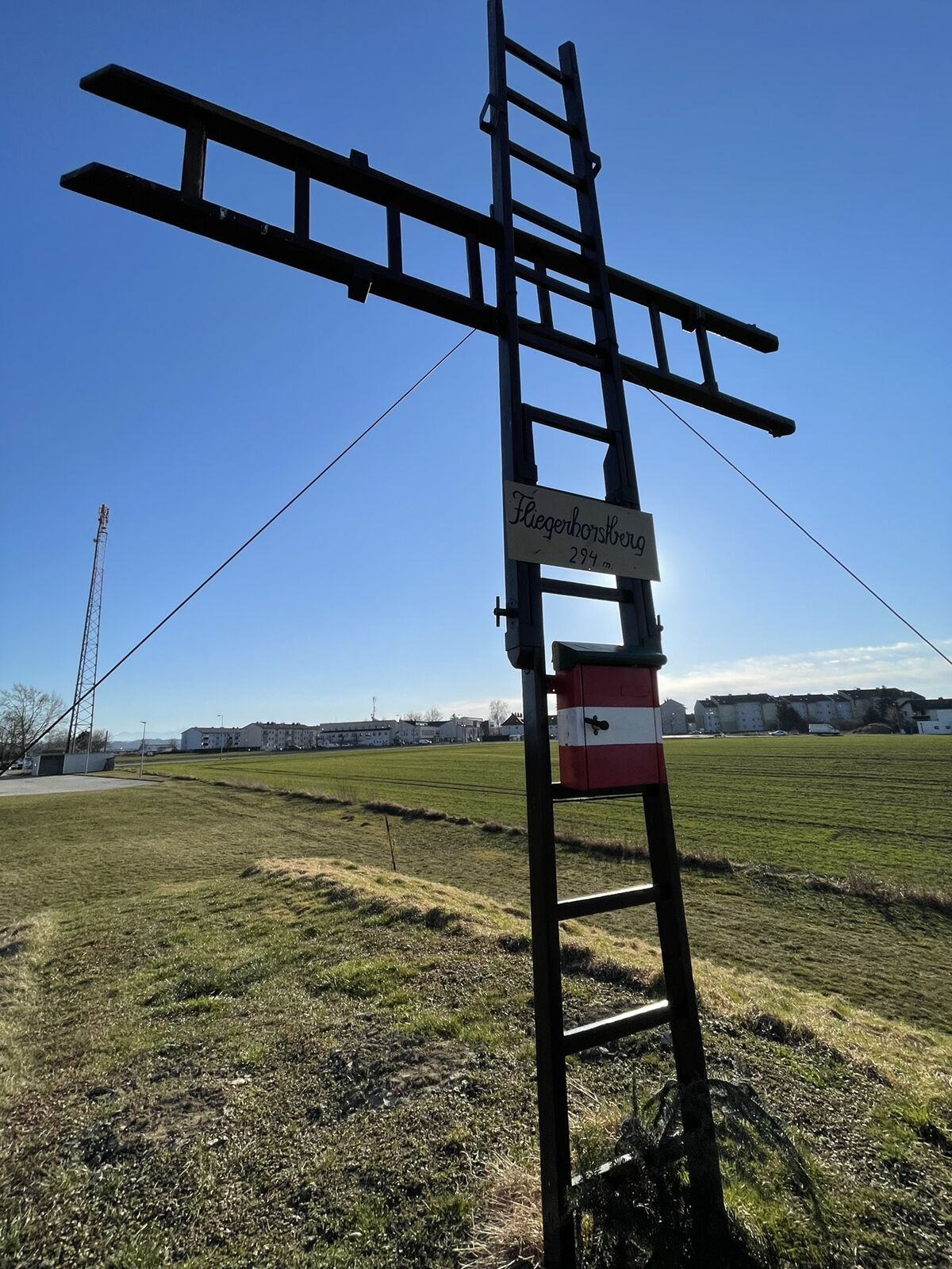
- Punto álgido
- 299 m


GPS Downloads


Más circuitos por las regiones
-
Traunviertel
1940
-
Linz & Region Linz
842
-
Hörsching
168