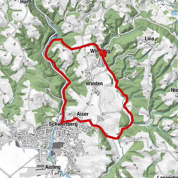
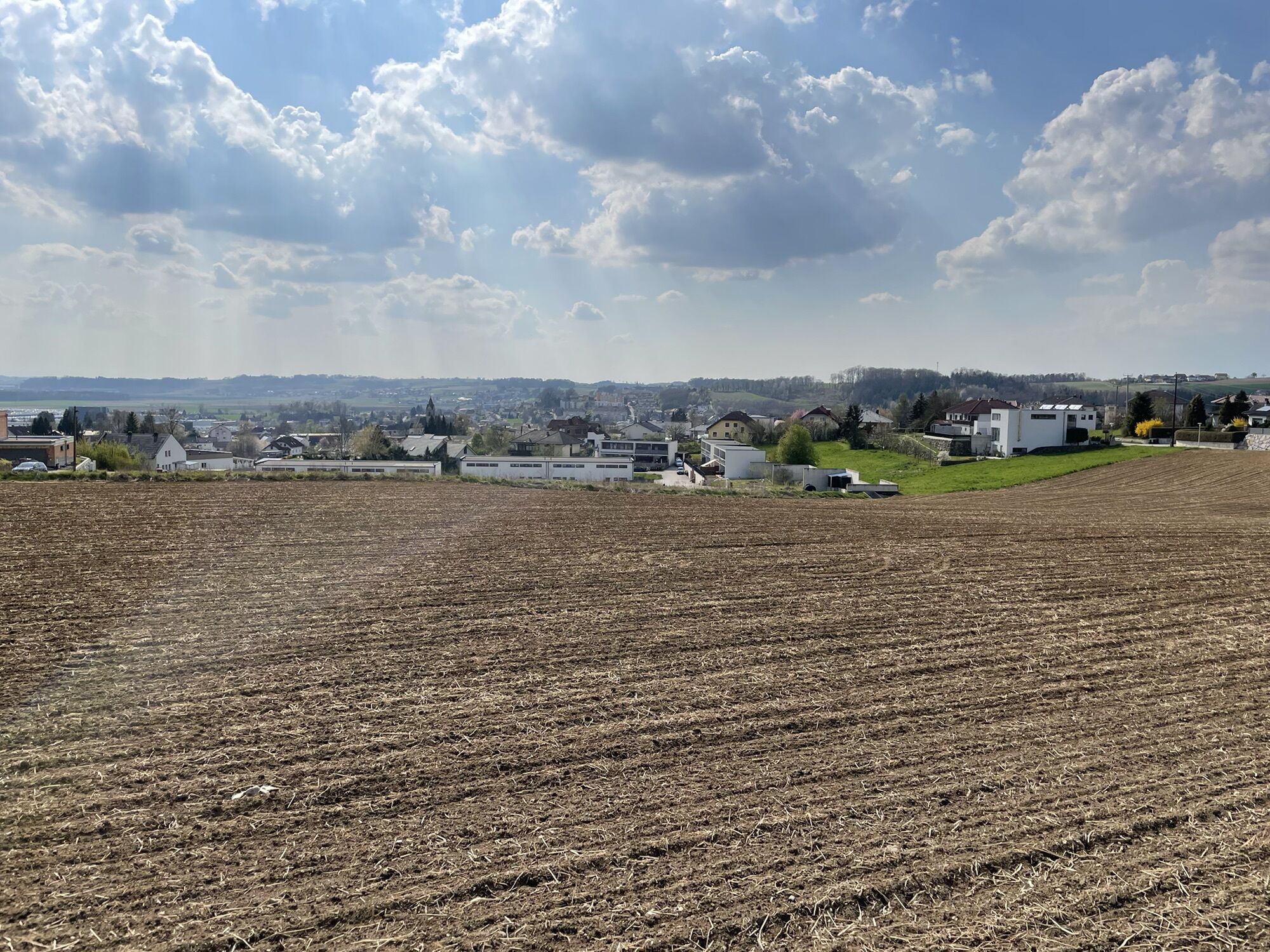
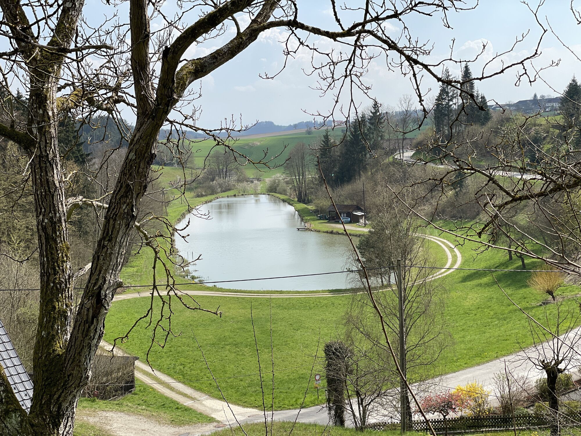
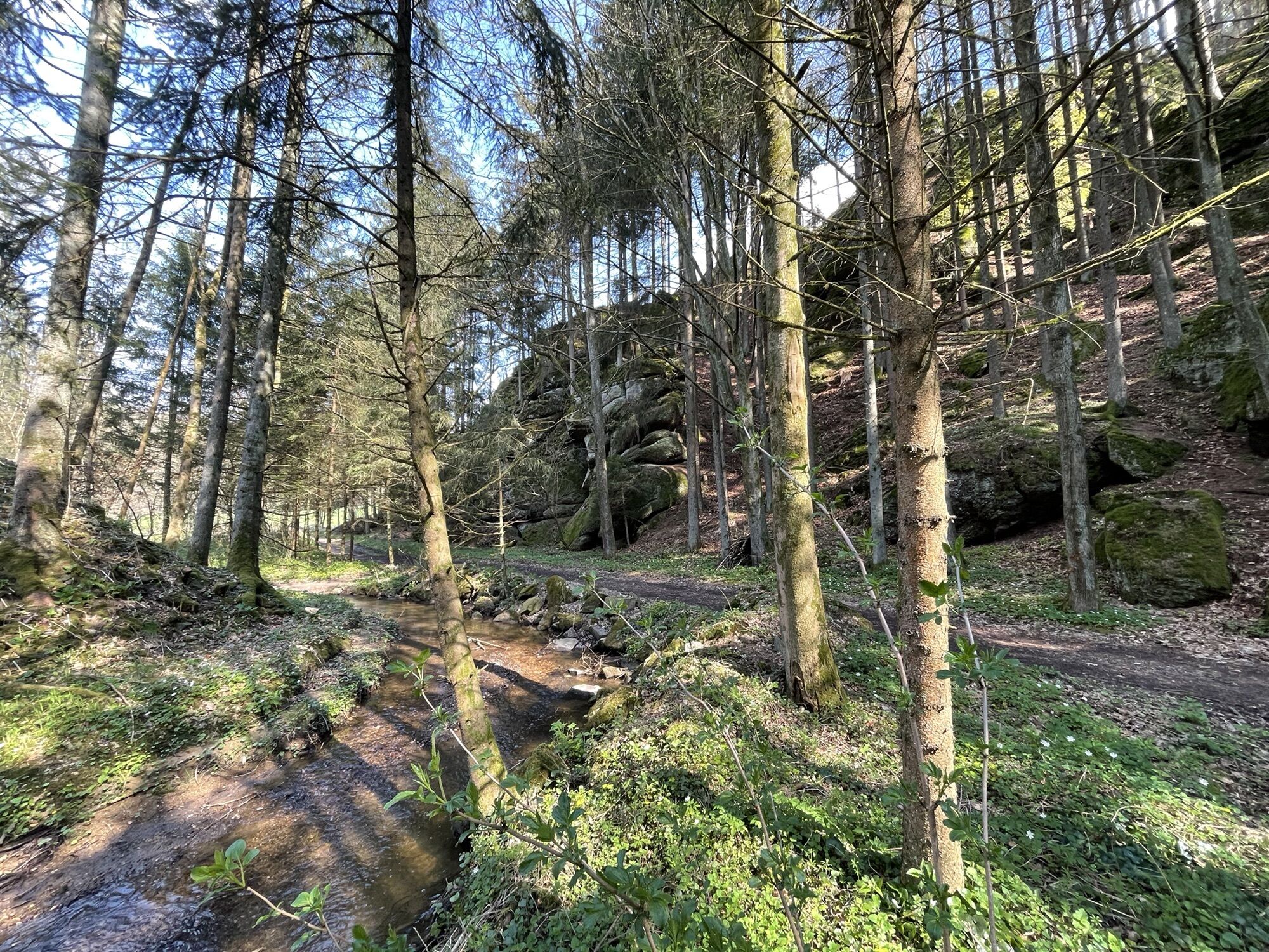
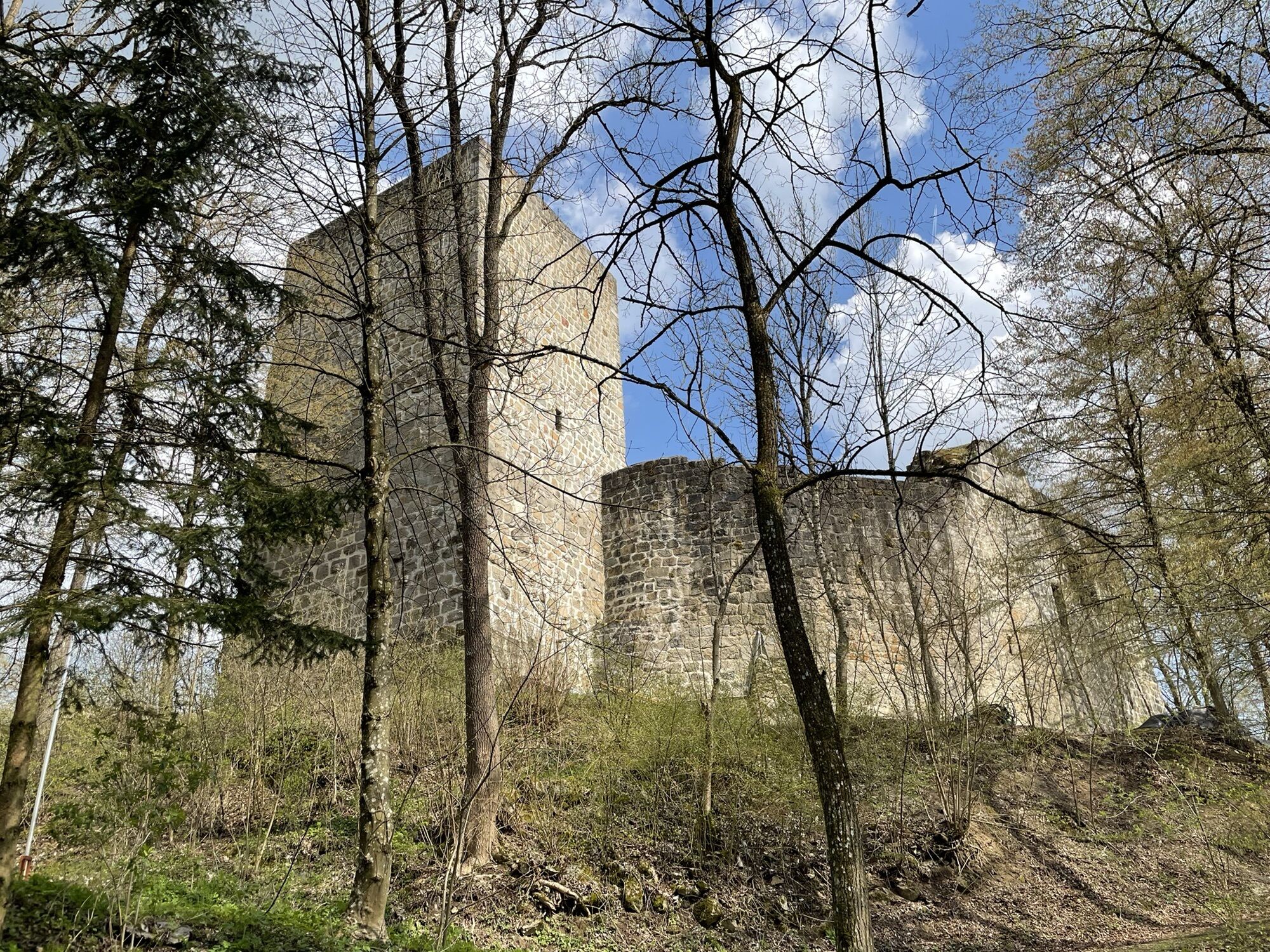
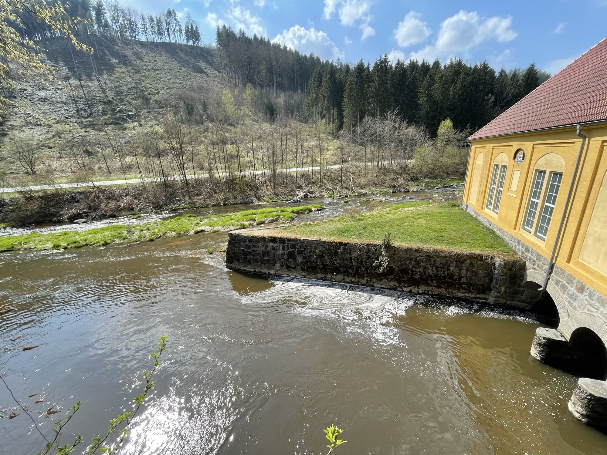
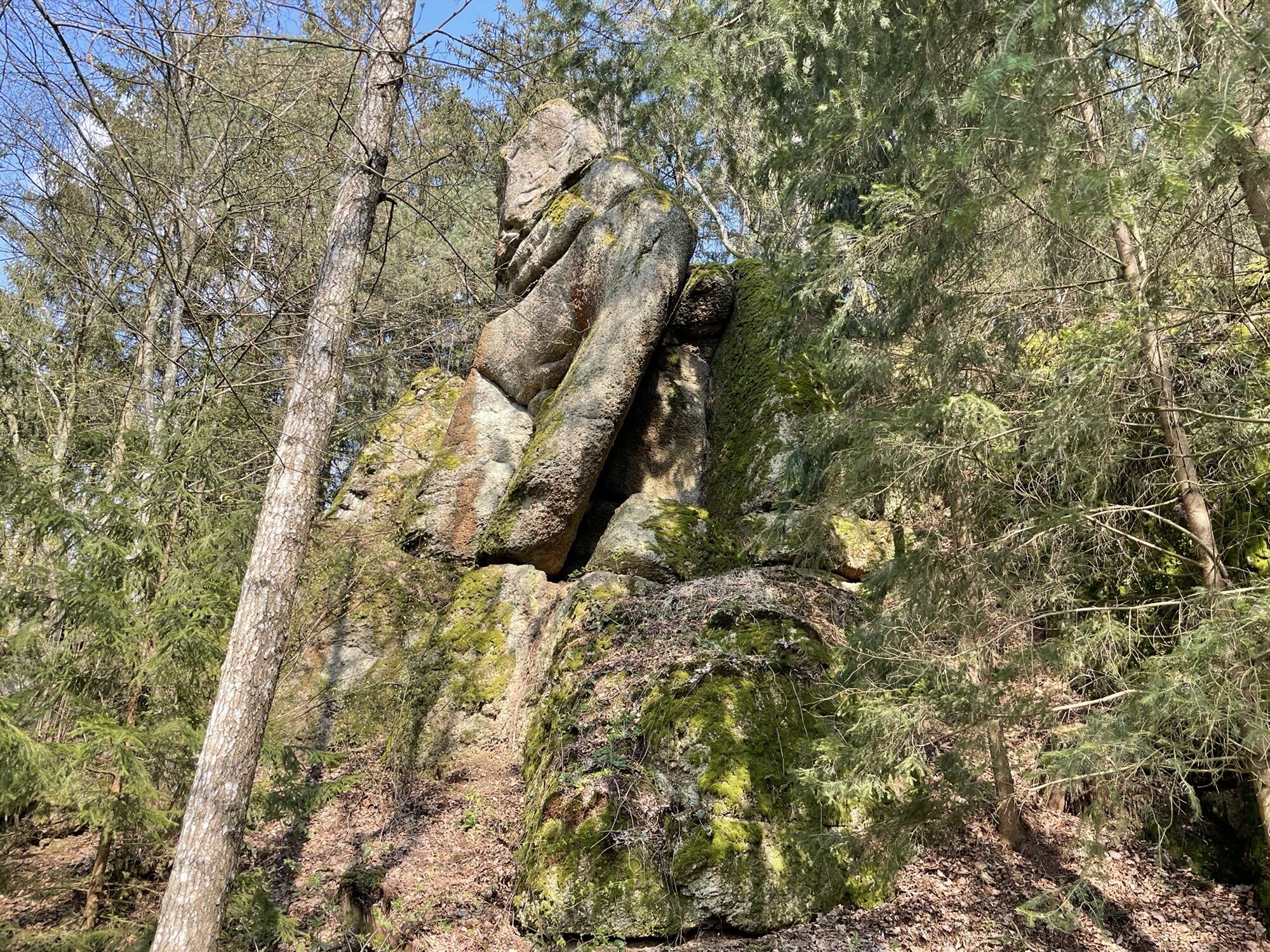
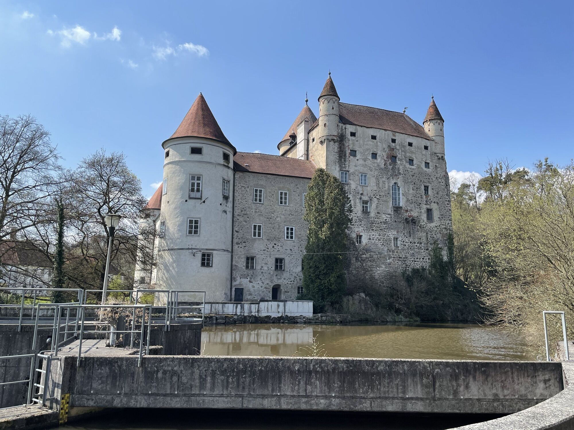
Schwertberg-Josefstal-Ruine Windegg-Aiser-Runde

Senderismo
Datos del tour
10,28km
253
- 351m
213hm
209hm
01:54h
- Breve descripción
-
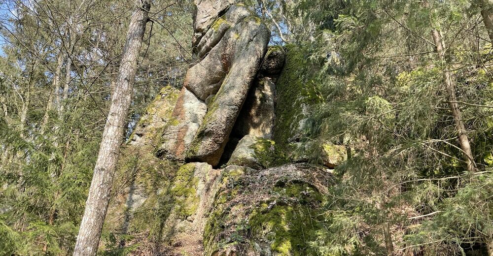
Schöne nicht anstrengende Runde
- Dificultad
-
fácil
- Valoración
-
- Ruta
-
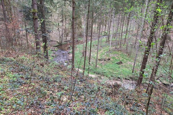
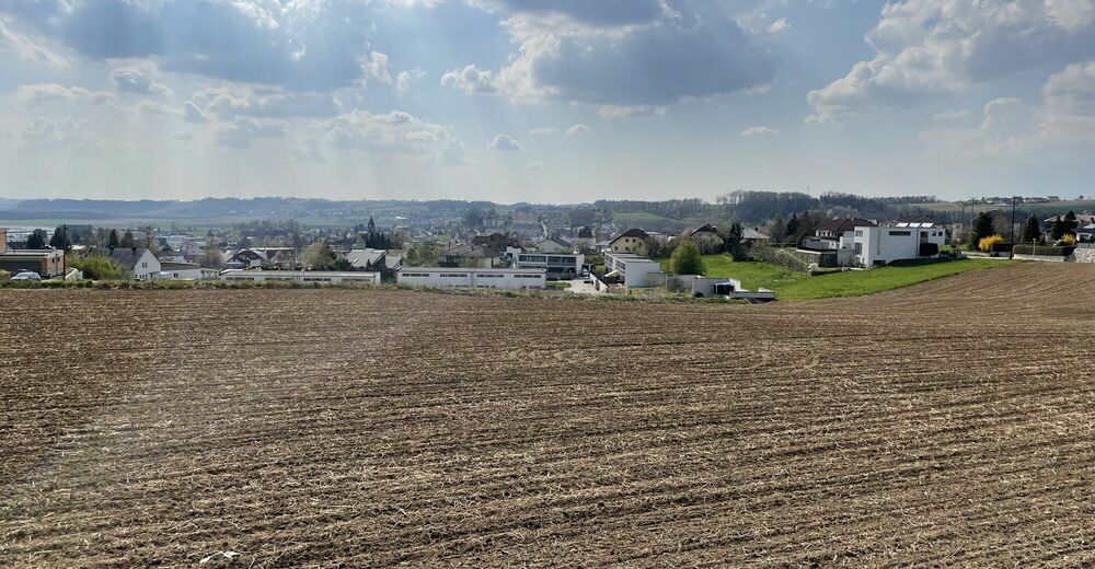
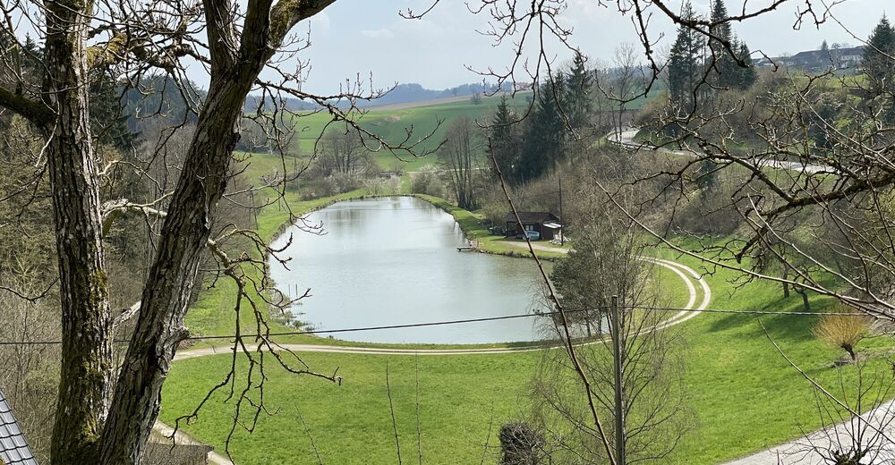
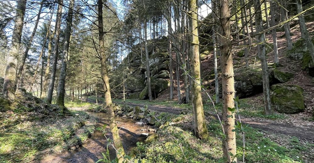
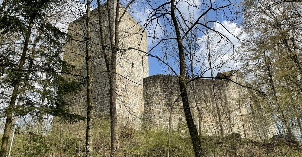
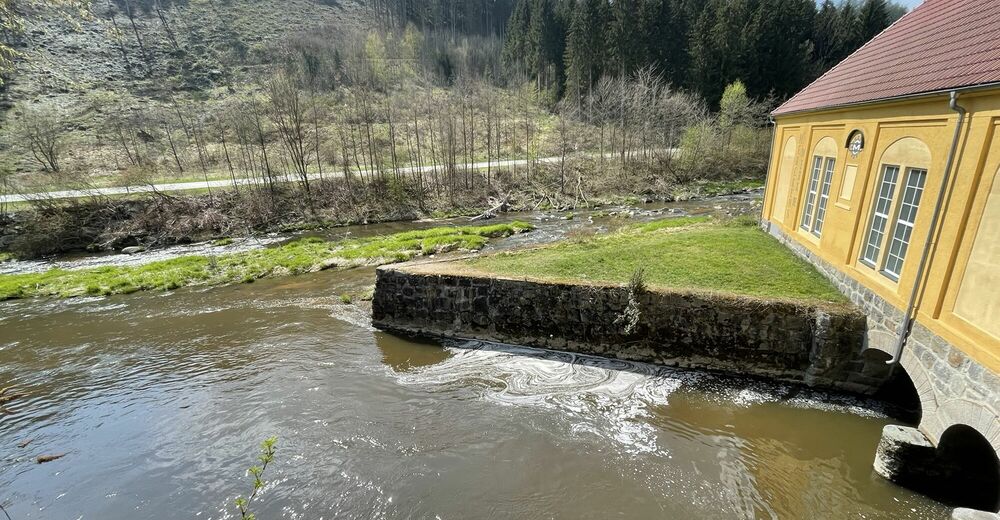
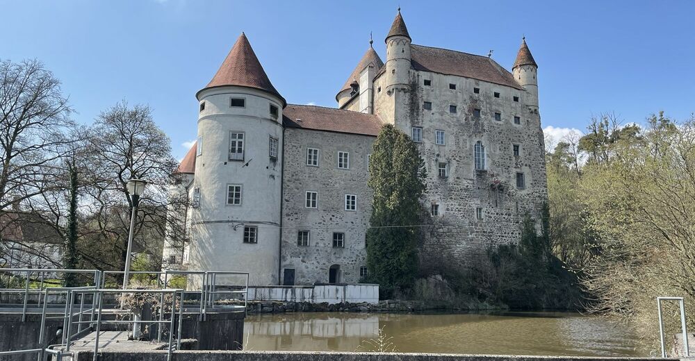
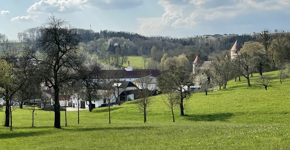
Schwertberg (265 m)Freizeitwiese0,7 kmJosefstal2,4 kmWindegg4,6 kmAiser9,5 kmSchwertberg (265 m)10,2 km
- La mejor temporada
-
enefebmarabrmayjunjulagosepoctnovdic
- Punto álgido
- 351 m

GPS Downloads


Más circuitos por las regiones
-
Mühlviertel
1782
-
Moststraße
754
-
Schwertberg
183