Datos del tour
9,31km
494
- 1.047m
659hm
679hm
02:45h

- Breve descripción
-
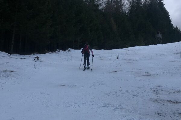
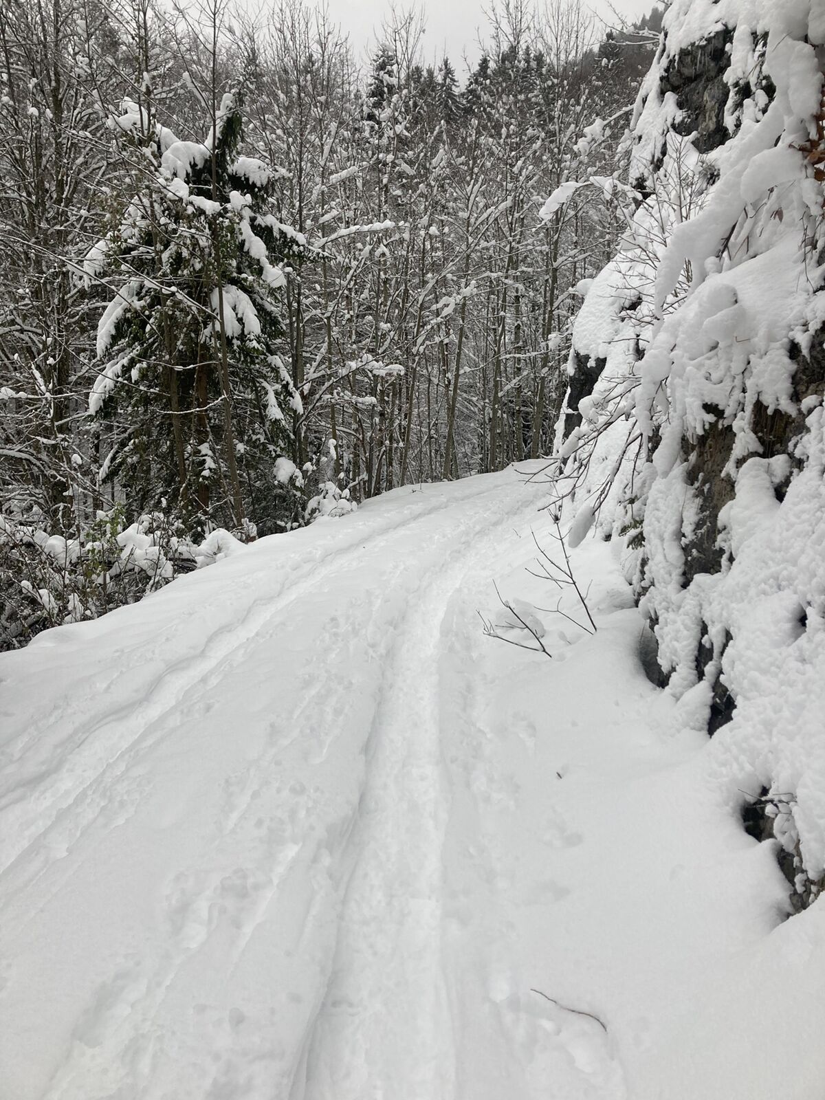
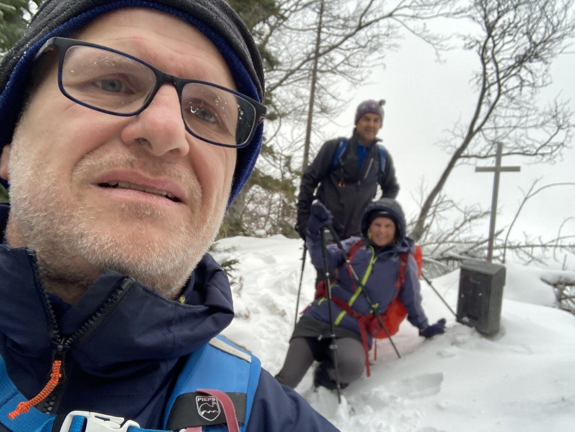
Kurze Waldtour auch bei Hoher Lawinen Gefahr begehbar
- Dificultad
-
fácil
- Valoración
-
- Ruta
-
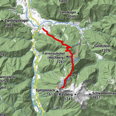
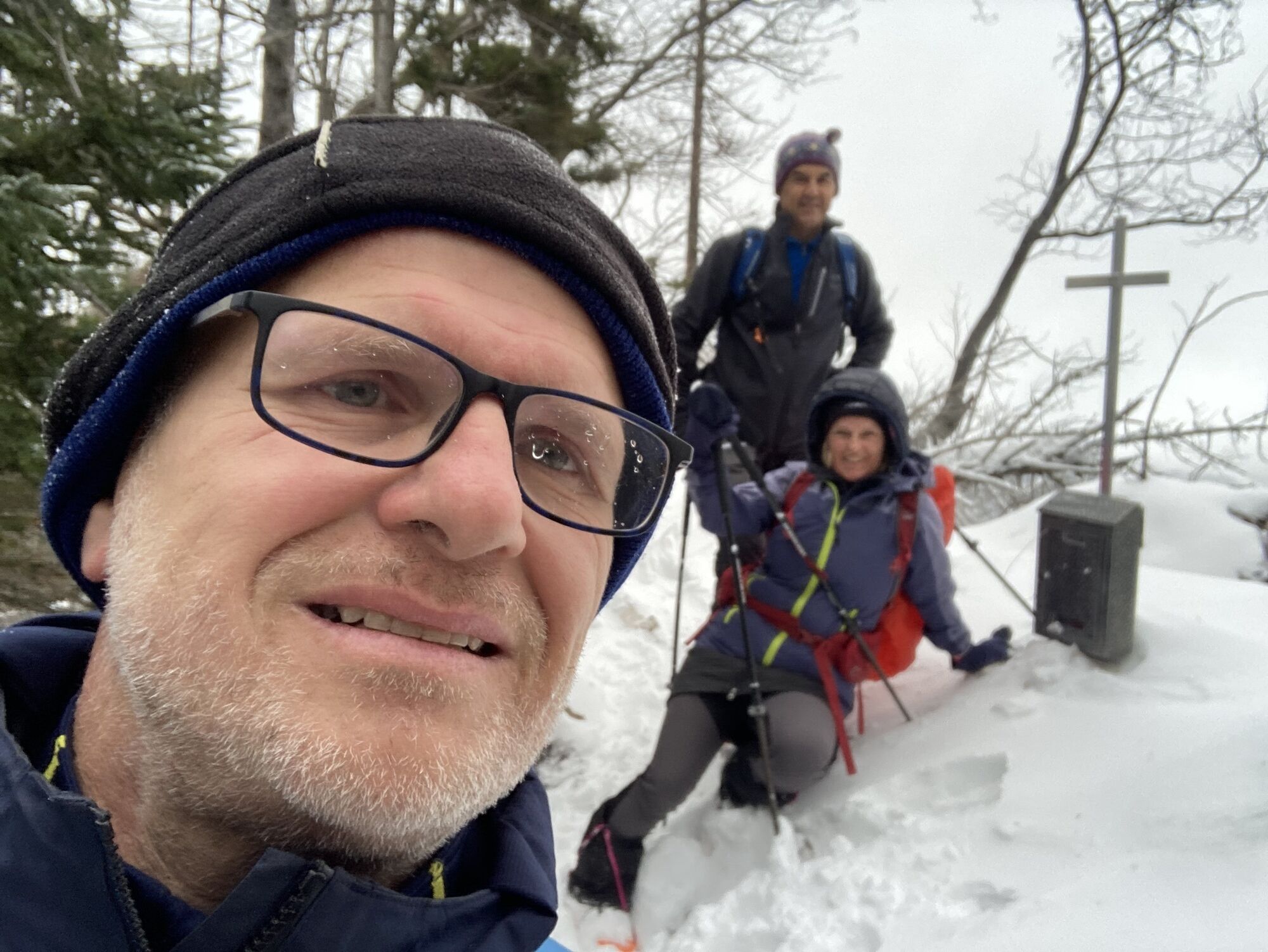
Steinfelden0,0 kmHamberg (854 m)1,6 kmHutkogel (1.055 m)4,5 kmHamberg (854 m)7,3 kmSteinfelden9,0 km
- Punto álgido
- 1.047 m


GPS Downloads


Más circuitos por las regiones