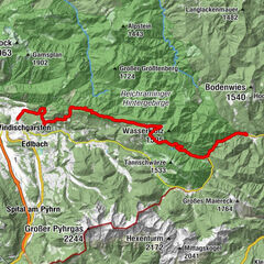
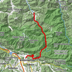
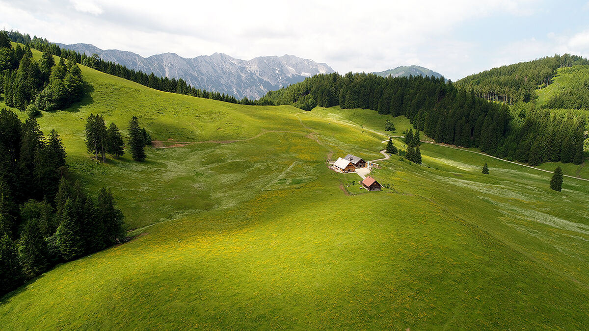
Nationalpark Kalkalpen (3-tägige Runde), Reittour

Montar a caballo

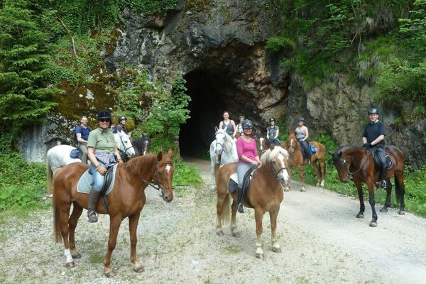
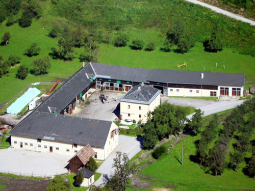
© (c) Pferdeland NPK

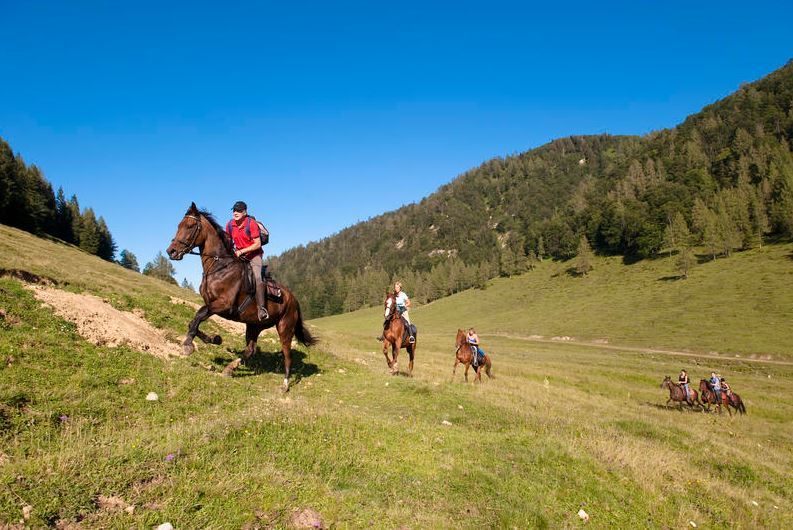
© (c) Pferdeland NPK


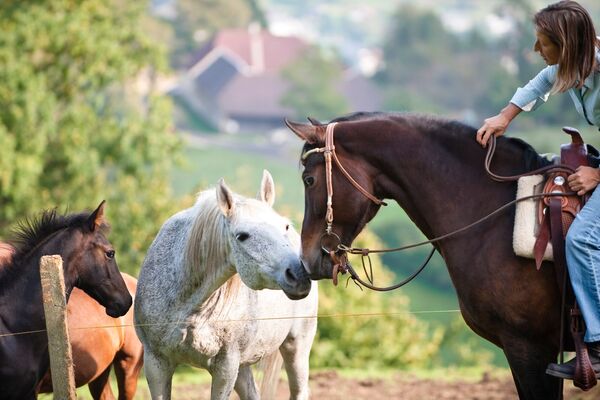
© (c) OÖ Tourismus /Erber


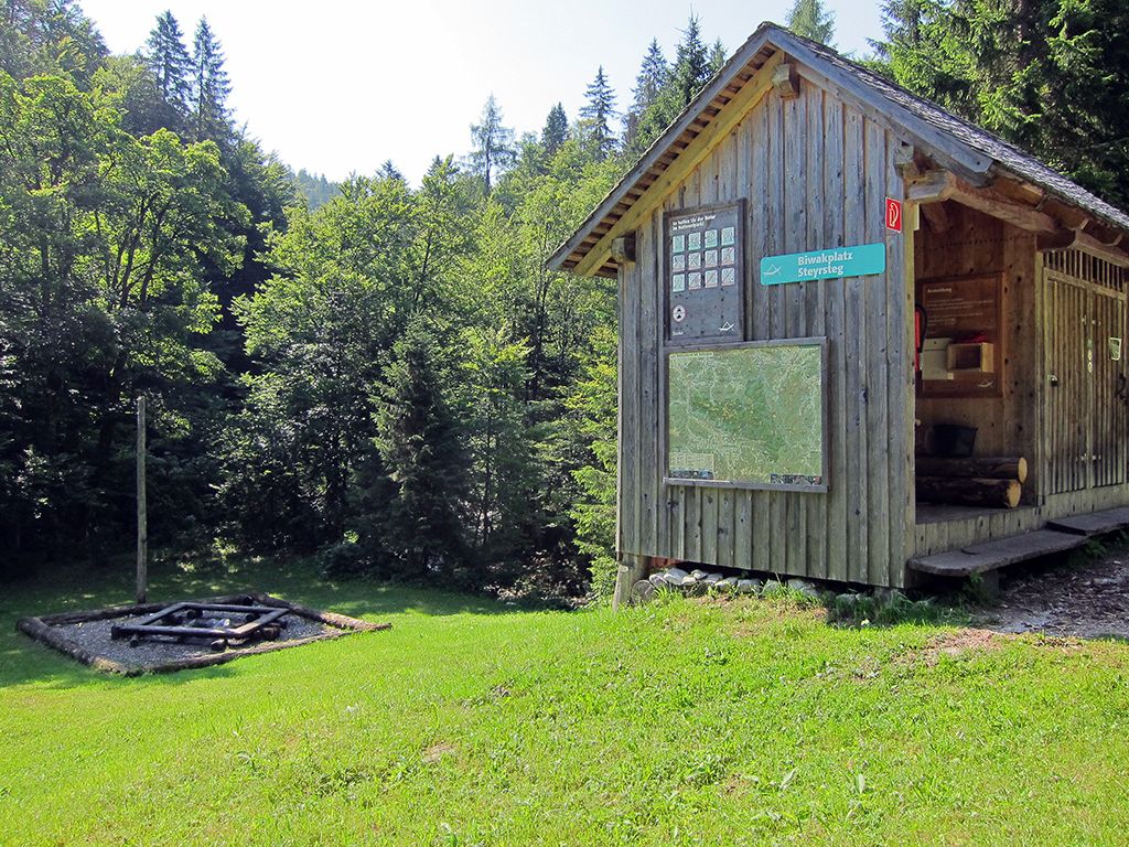
© Nationalpark Kalkalpen - <a href="http://www.kalkalpen.at">Nationalpark Kalkalpen</a>


- Breve descripción
-
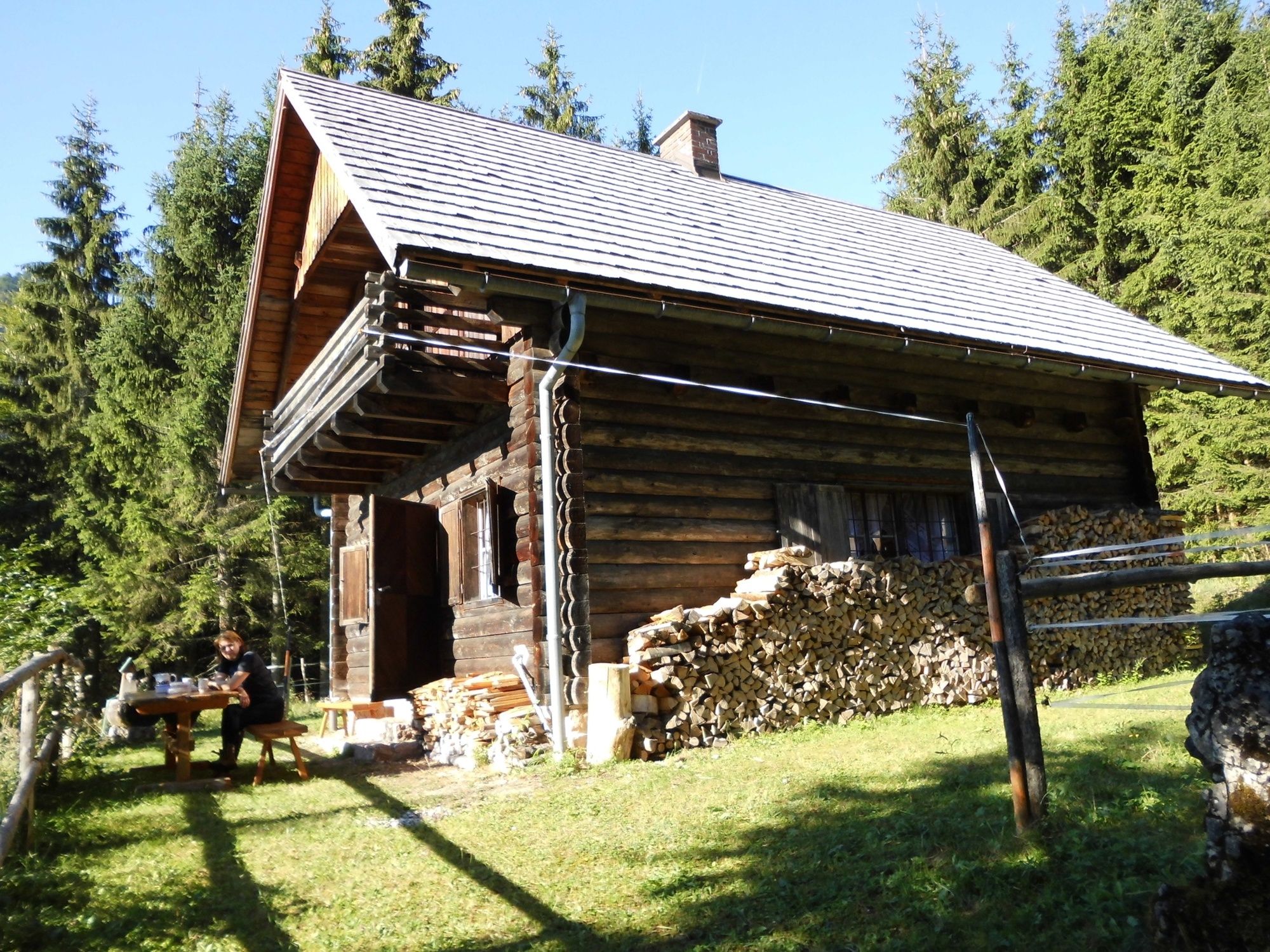
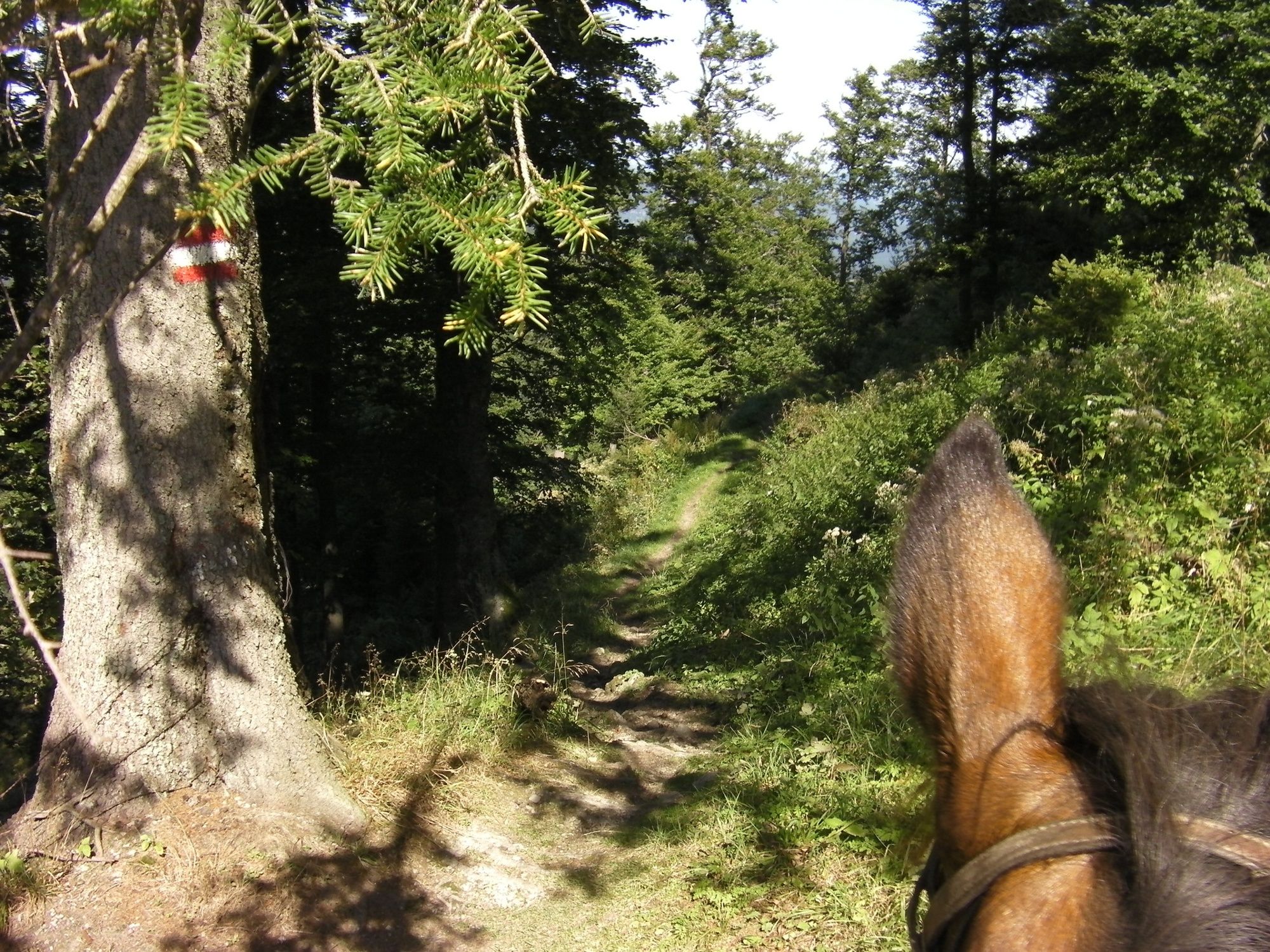
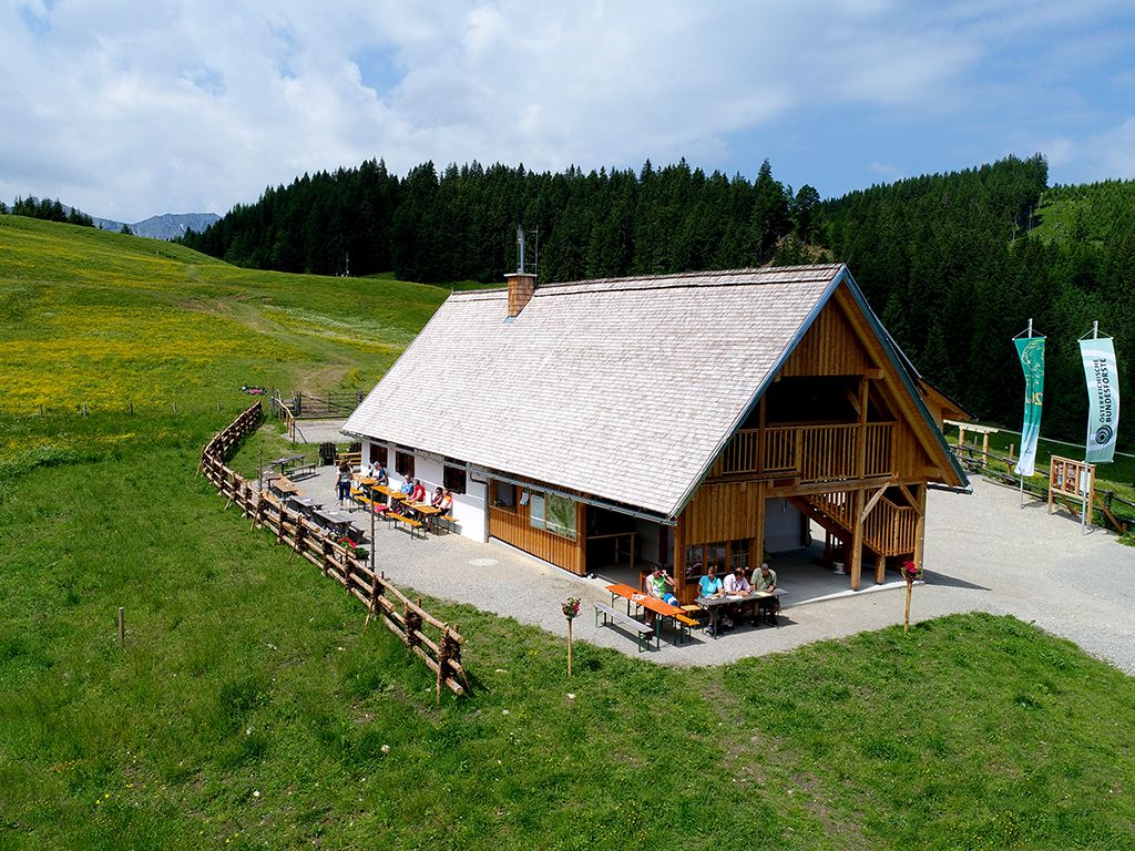
3- oder 4-tägige Reittour im Nationalpark Kalkapen mit verschiedenen Einstiegsmöglichkeiten & Wegvarianten.
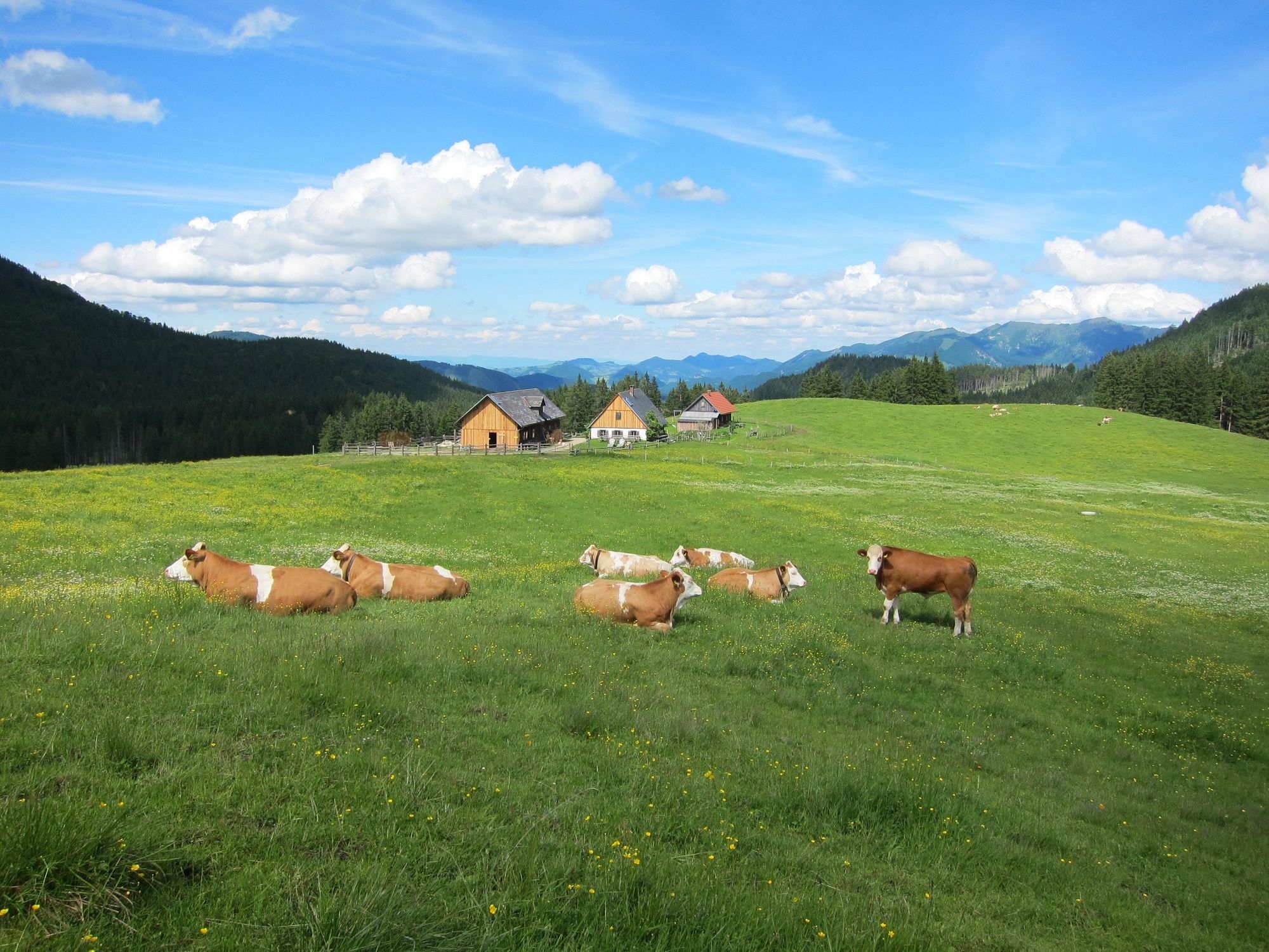
Jede Variante beinhaltet 2 Führstrecken (jeweils ca. 50 Meter lang schmalste Stelle 1 Meter breit) & der Weg verläuft über eine Kuhweide (ca. 800 Meter). Die Kühe sind an Pferd & Reiter:in gewohnt.
- Dificultad
-
medio
- Valoración
-
- Ruta
-
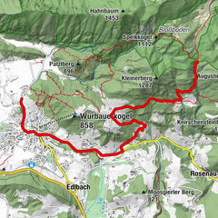
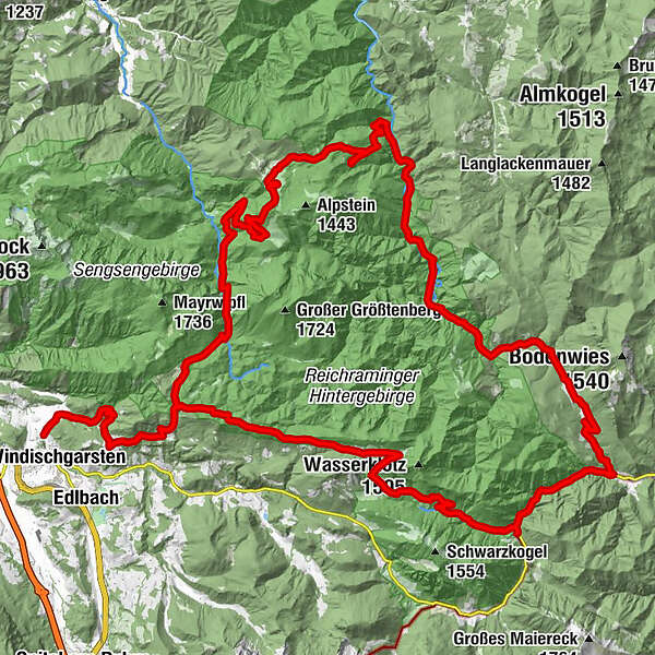
Mayrwinkl0,2 kmBannholzhütte (650 m)1,4 kmSteyrsteg11,8 kmSchaumbergalm19,7 kmEbenforstalm22,8 kmGroße Klause32,9 kmSchleierfall37,9 kmWeißwasser42,1 kmMooshöhe (846 m)44,3 kmRadlerimbiss Mooshöhe44,3 kmMooshöhe44,4 kmUnterlaussa48,7 kmTürkenkopf52,0 km
- La mejor temporada
-
enefebmarabrmayjunjulagosepoctnovdic
- Punto álgido
- 1.292 m
- Punto final
-
Molln/Bodinggraben oder Roßleithen oder Unterlaussa
- Perfil alto
-


- Autor
-
La gira Nationalpark Kalkalpen (3-tägige Runde), Reittour es utilizado por outdooractive.com proporcionado.
GPS Downloads


Información general
Punto de avituallamiento
Más circuitos por las regiones