© Unbekannt - Andreas Röbl
© Unbekannt - Erwin Haiden
© Unbekannt - Weißenbrunner

- Breve descripción
-
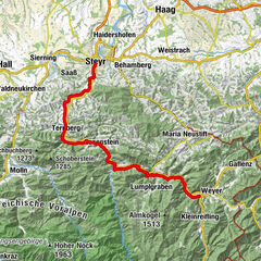
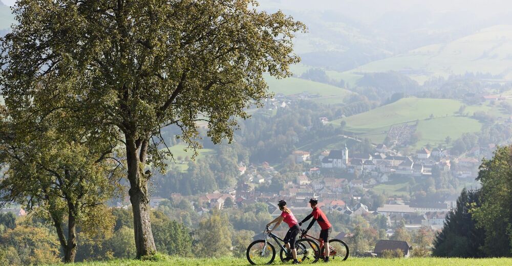
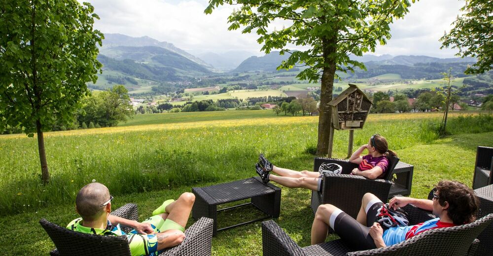
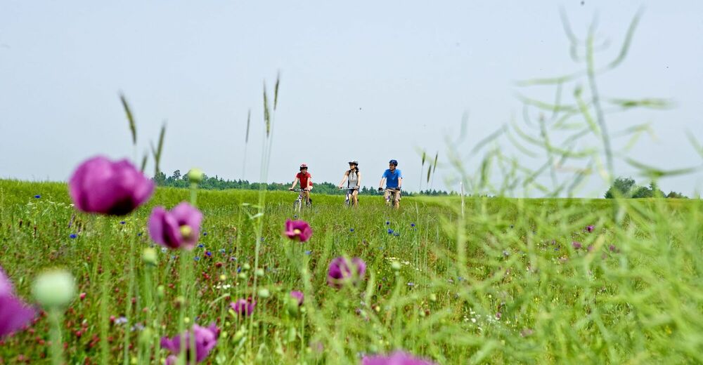
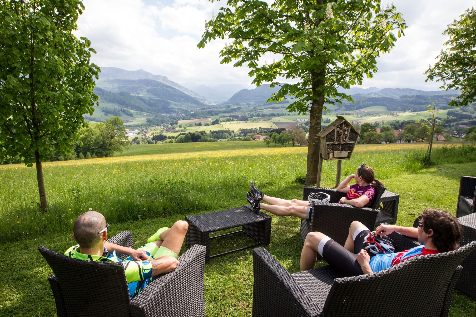
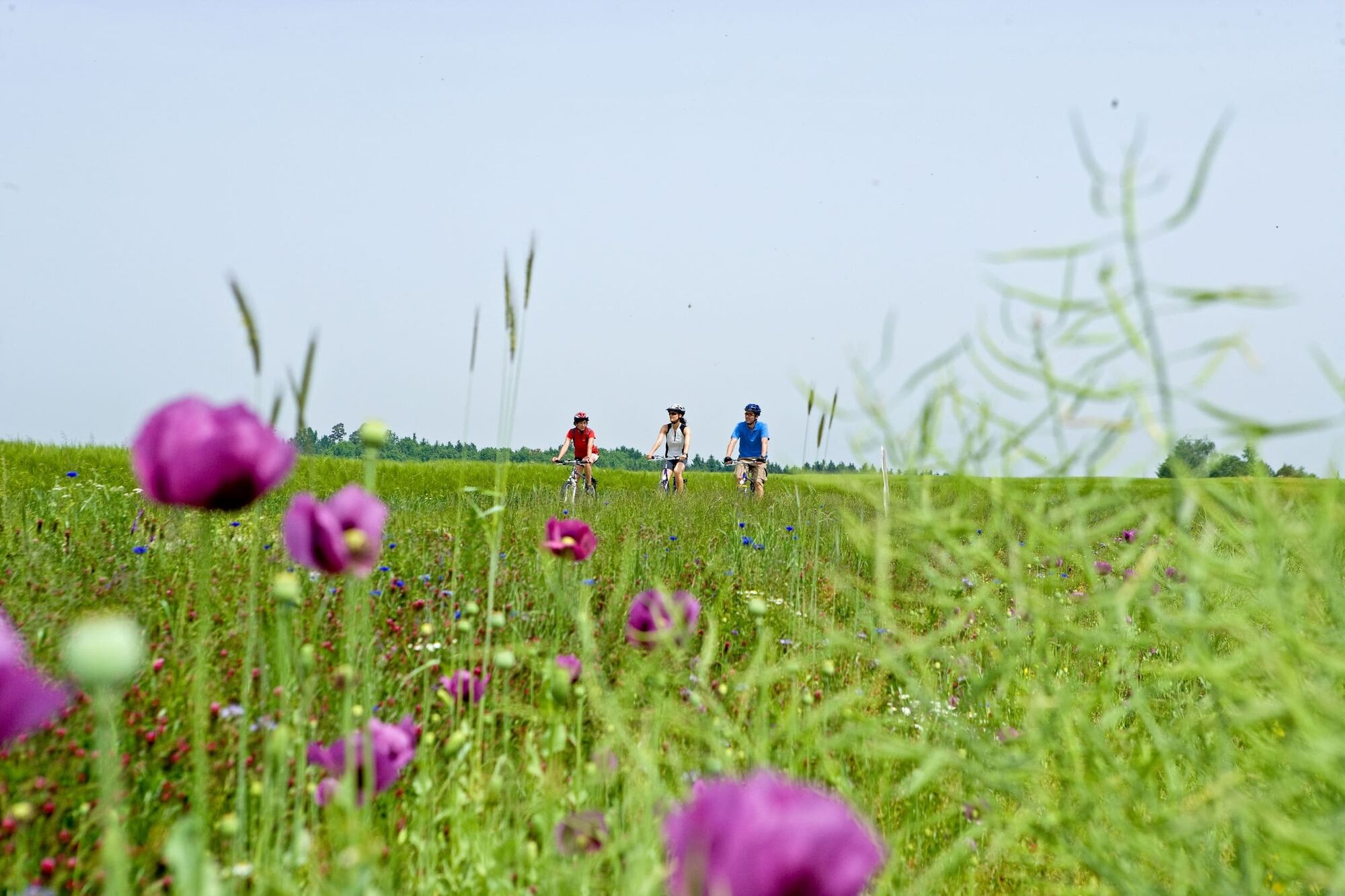
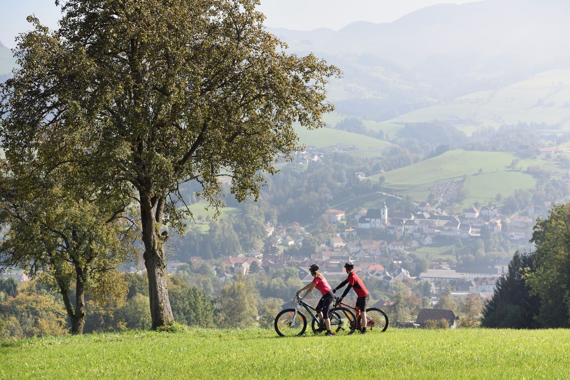
The Steyr is a real mountain river - but we stay in the foothills of the Alps and look at the valley from a reasonable distance.
- Dificultad
-
fácil
- Valoración
-
- Ruta
-
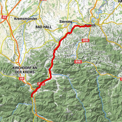
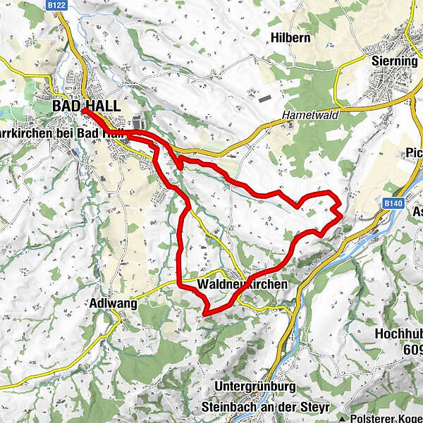
Bad Hall0,1 kmWaldneukirchen7,9 kmDorftaverne8,1 kmKapelle8,4 kmKapelle8,8 kmHaus des Gebetes14,2 kmSteingrub17,0 kmBad Hall19,4 km
- La mejor temporada
-
enefebmarabrmayjunjulagosepoctnovdic
- Punto álgido
- 466 m
- Punto final
-
Bad Hall, Eduard-Bach-Straße (Forum Hall)
- Perfil alto
-

-

-
AutorLa gira Cycling tour Steyr Valley view es utilizado por outdooractive.com proporcionado.
GPS Downloads


Más circuitos por las regiones