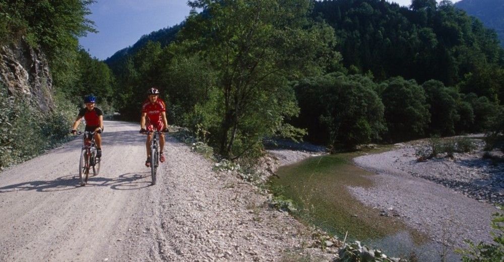
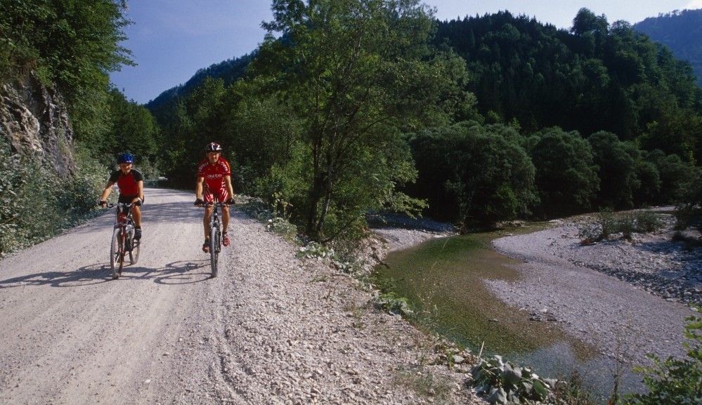
On the tracks of the Waldbahn from Reichraming, bicycle tour

Mountainbike

© Nationalpark Kalkalpen - <a href="http://www.kalkalpen.at">Nationalpark Kalkalpen</a>

© Nationalpark Kalkalpen - <a href="http://www.kalkalpen.at">Nationalpark Kalkalpen</a>
© Nationalpark Kalkalpen - <a href="http://www.kalkalpen.at">Nationalpark Kalkalpen</a>
© Nationalpark Kalkalpen - <a href="http://www.kalkalpen.at">Nationalpark Kalkalpen</a>

© Nationalpark Kalkalpen - <a href="http://www.kalkalpen.at">Nationalpark Kalkalpen</a>
© Nationalpark Kalkalpen - <a href="http://www.kalkalpen.at">Nationalpark Kalkalpen</a>

© Nationalpark Kalkalpen - <a href="http://www.kalkalpen.at">Nationalpark Kalkalpen</a>

- Breve descripción
-
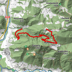
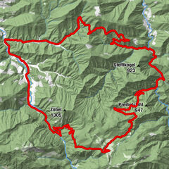
Bicycle tour along the Hintergebirgsradweg with slight ascents to Weißwasser and a short, steeper ascent to the Hirschkogelsattel, followd by a rapid descent to Brunnbach.
- Dificultad
-
medio
- Valoración
-
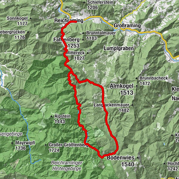
- Ruta
-
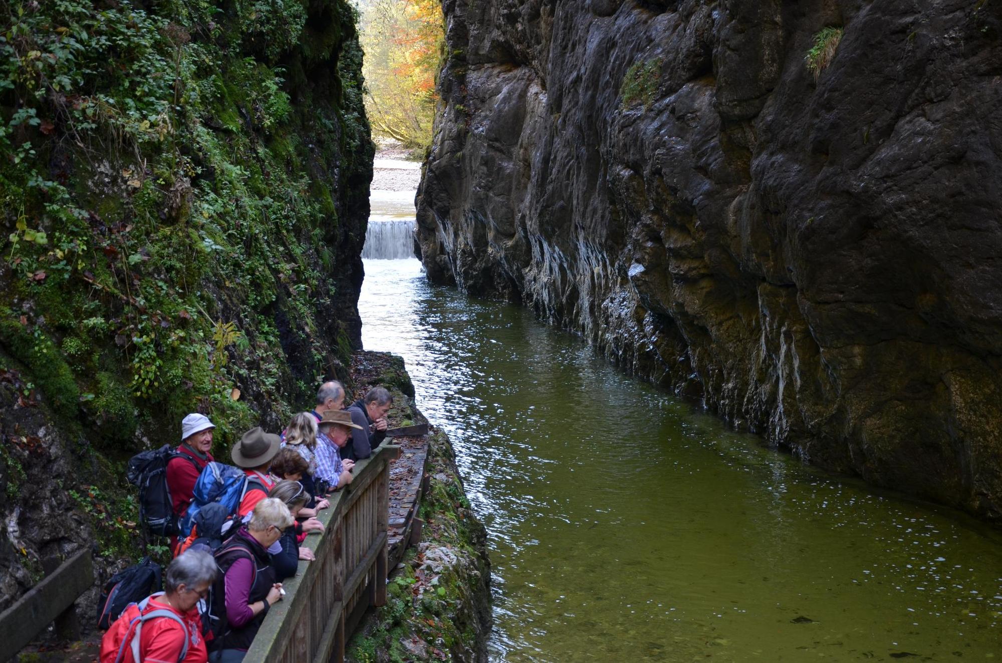
ReichramingReichraming0,7 kmGroße Klause14,4 kmSchleierfall19,5 kmWeißwasser23,8 kmHirschkogelsattel (882 m)26,5 kmBrunnbachstadl32,0 kmBrunnbach (522 m)32,3 kmReichraming44,8 kmReichraming45,4 km
- La mejor temporada
-
enefebmarabrmayjunjulagosepoctnovdic
- Punto álgido
- 877 m
- Punto final
-
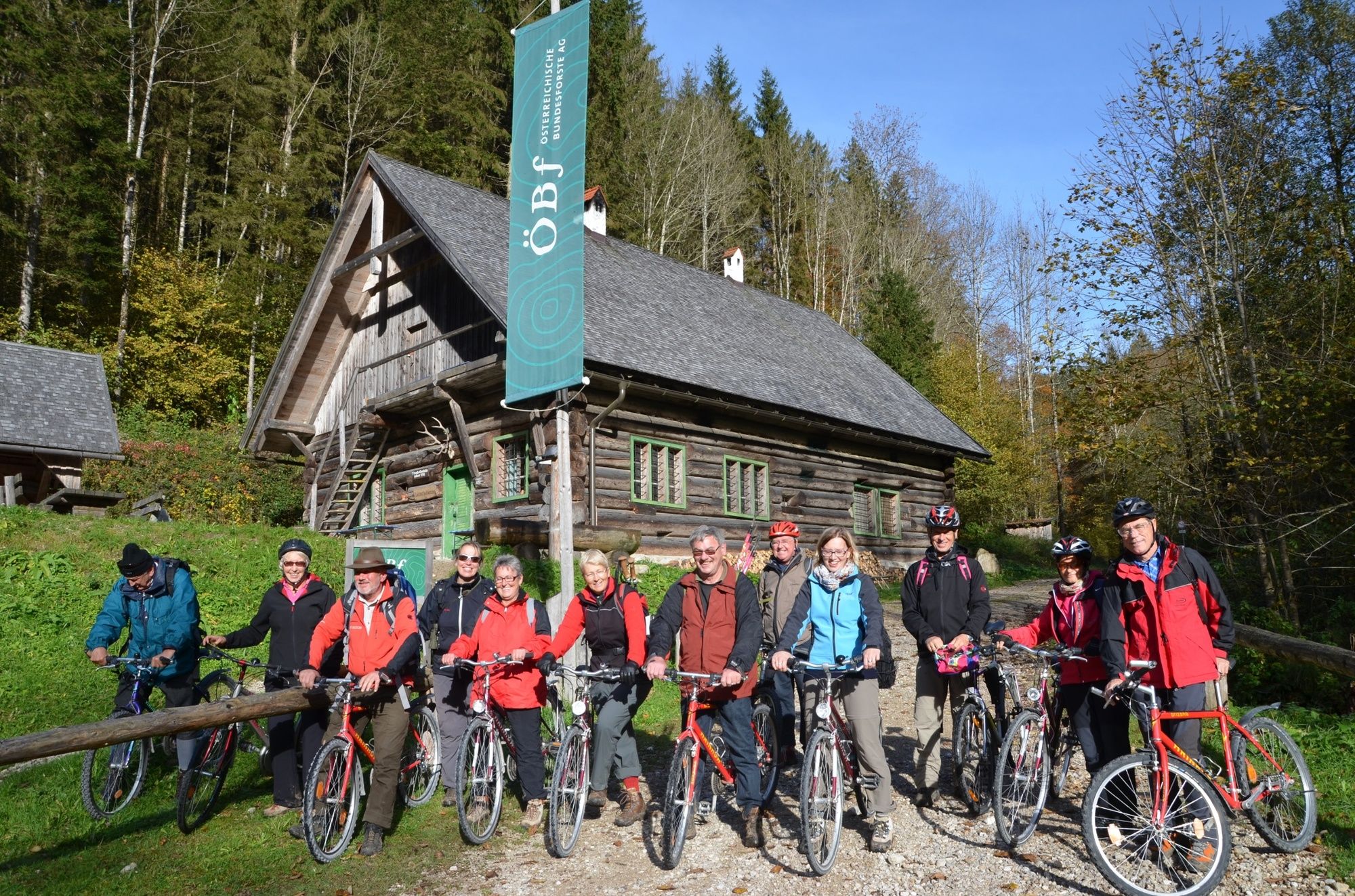
Klaushütte, Parking Anzenbach or train station Reichraming
- Perfil alto
-


- Autor
-
La gira On the tracks of the Waldbahn from Reichraming, bicycle tour es utilizado por outdooractive.com proporcionado.
GPS Downloads


Información general
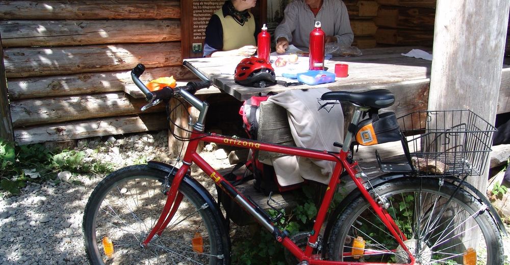
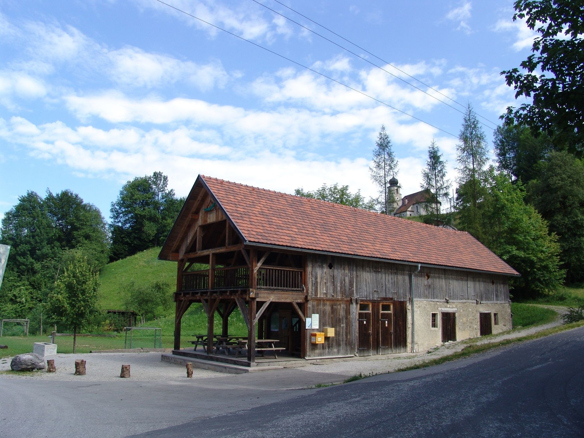
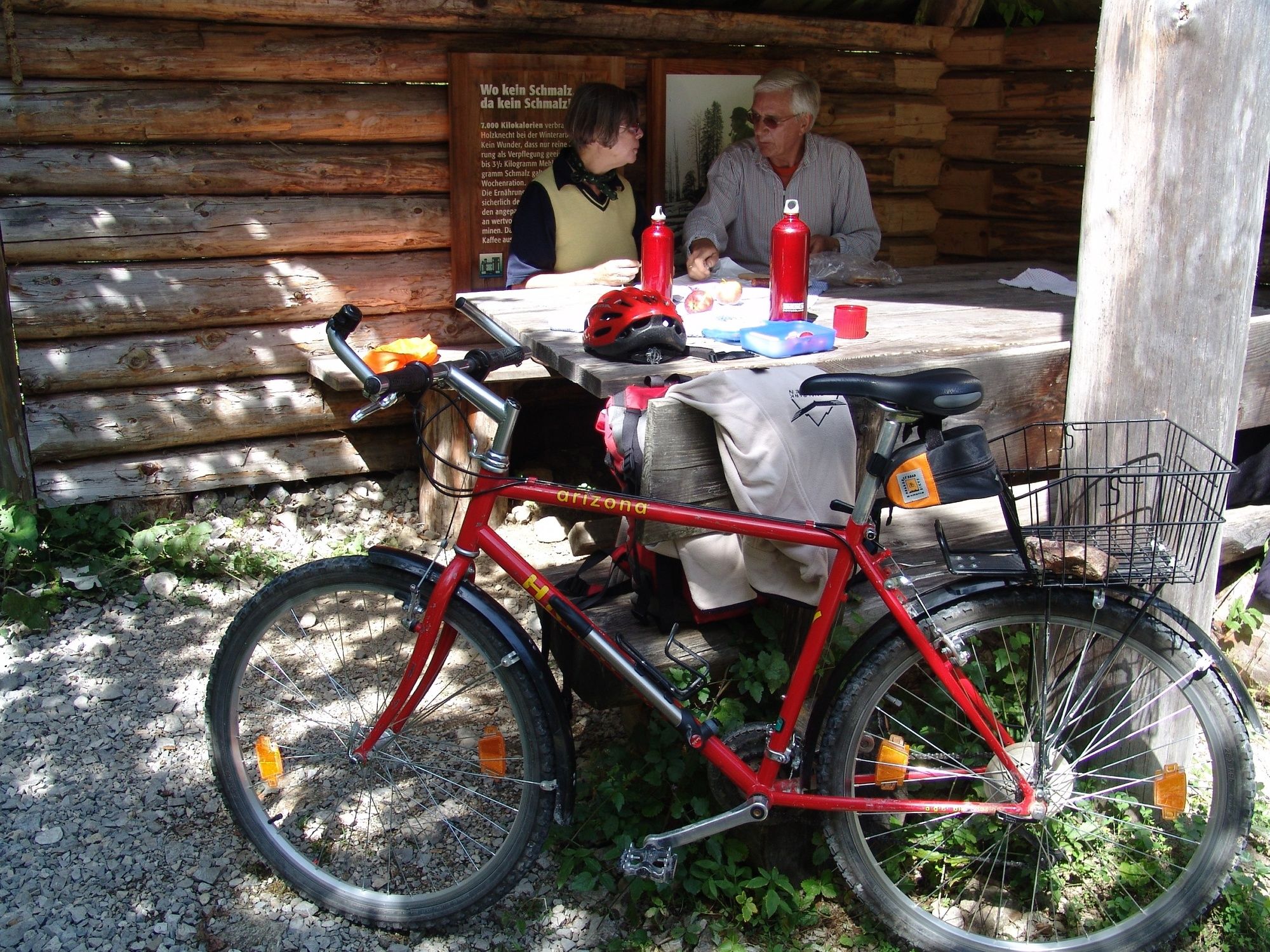
Punto de avituallamiento
Cultural/Histórico
Más circuitos por las regiones