© Verein Mühlviertler Granitland


- Breve descripción
-
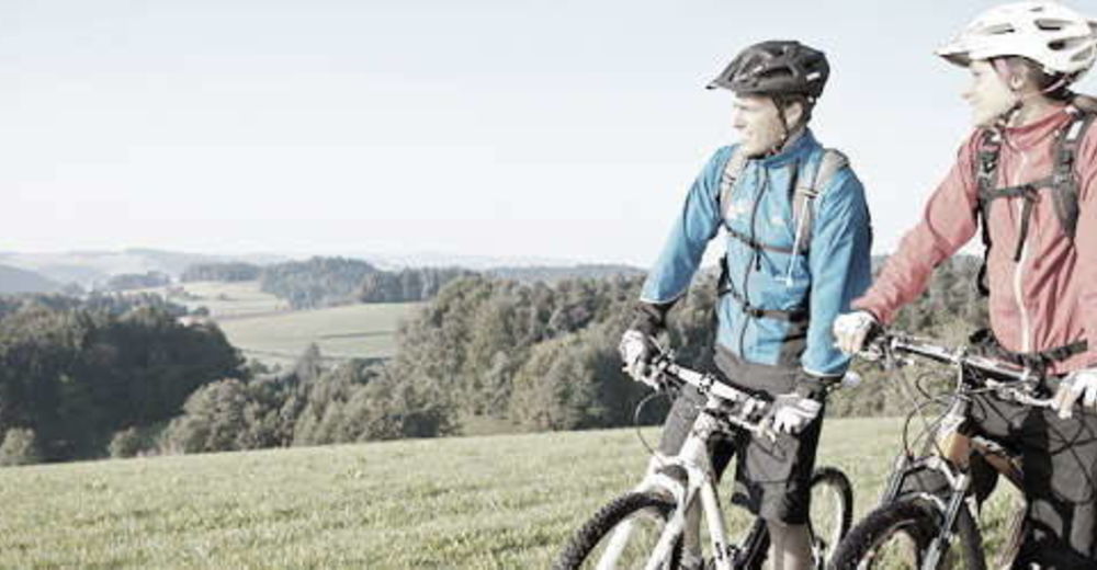
This route leads from the lowest to the highest point of the Granite Land South - from the Danube to the Gis.
- Valoración
-
- Ruta
-
Ottensheim0,3 kmAmberg5,3 kmGramastetten8,2 kmGasthaus zur Gis15,9 kmLichtenberg19,6 kmLandgasthaus Holzpoldl20,7 kmNeulichtenberg20,7 kmKoglerauer Spitz (685 m)24,0 kmKöglerhof24,4 kmDürnberg27,9 kmGuckerstein28,2 kmGasthaus Dürnberg30,8 km
- La mejor temporada
-
enefebmarabrmayjunjulagosepoctnovdic
- Punto álgido
- 884 m
- Perfil alto
-


- Autor
-
La gira MTB - Danube GIS circuit es utilizado por outdooractive.com proporcionado.
GPS Downloads


Información general
Punto de avituallamiento
Vistas panorámicas
Más circuitos por las regiones
-
Mühlviertel
194
-
Linz & Region Linz
95
-
Eidenberg
39