© Nationalpark Kalkalpen/Sieghartsleitner - <a href="http://www.kalkalpen.at">Nationalpark Kalkalpen</a>
© Unbekannt - <a href="http://www.kalkalpen.at">Nationalpark Kalkalpen</a>

© Unbekannt - <a href="http://www.kalkalpen.at">Nationalpark Kalkalpen</a>
© Nationalpark Kalkalpen/Rieder - <a href="http://www.kalkalpen.at">Nationalpark Kalkalpen</a>

© Nationalpark Kalkalpen - <a href="http://www.kalkalpen.at">Nationalpark Kalkalpen</a>
© Nationalpark Kalkalpen - <a href="http://www.kalkalpen.at">Nationalpark Kalkalpen</a>


- Breve descripción
-
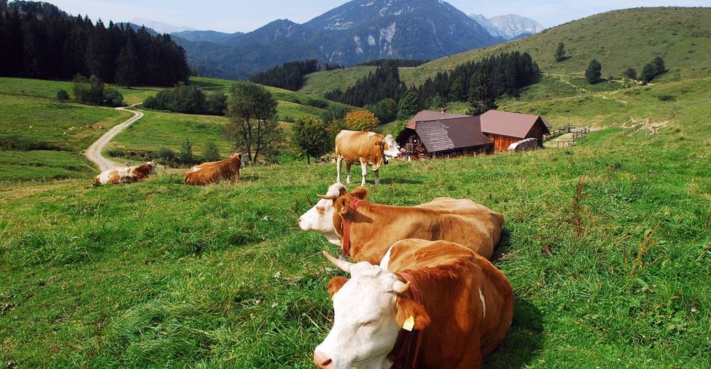
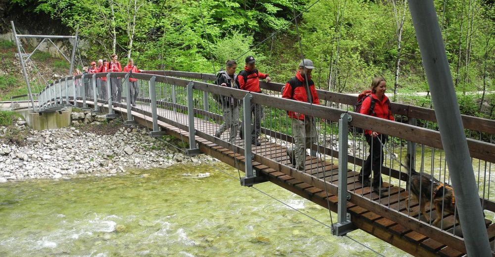
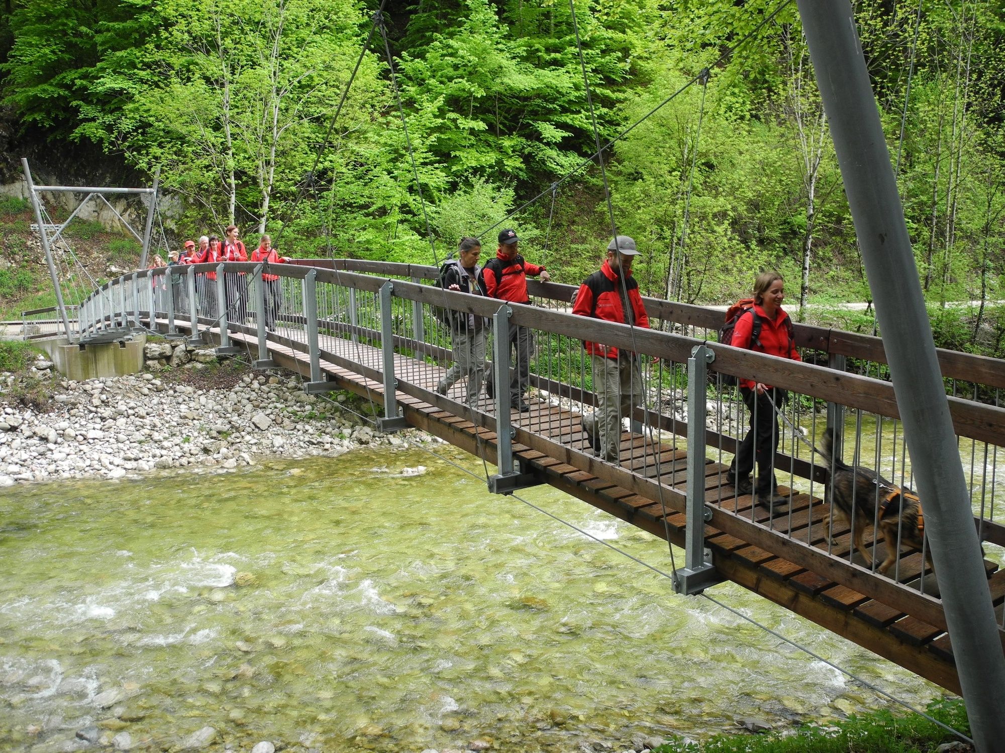
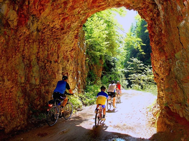
Radtour von Reichraming über den Hintergebirgsradweg zur bewirtschafteten Anlaufalm. Anschließend Abfahrt nach Brunnbach und retour nach Reichraming.
- Dificultad
-
medio
- Valoración
-
- Ruta
-
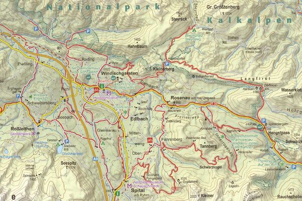
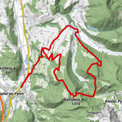
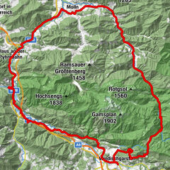
Reichraming0,0 kmReichraming0,7 kmGroße Klause14,5 kmSchleierfall19,6 kmDrei Bilder33,7 kmHirschkogelsattel (882 m)34,1 kmBrunnbachstadl39,7 kmBrunnbach (522 m)39,9 kmReichraming52,4 kmReichraming53,0 km
- La mejor temporada
-
enefebmarabrmayjunjulagosepoctnovdic
- Punto álgido
- 975 m
- Punto final
-
Bahnhof Reichraming
- Perfil alto
-


- Autor
-
La gira Anlaufalm ab Reichraming, Radtour es utilizado por outdooractive.com proporcionado.
GPS Downloads


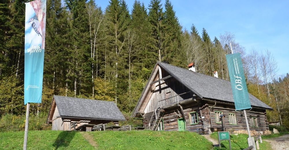
Información general
Punto de avituallamiento
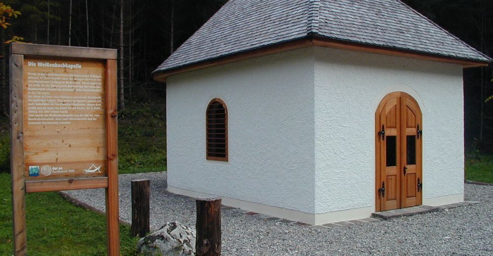
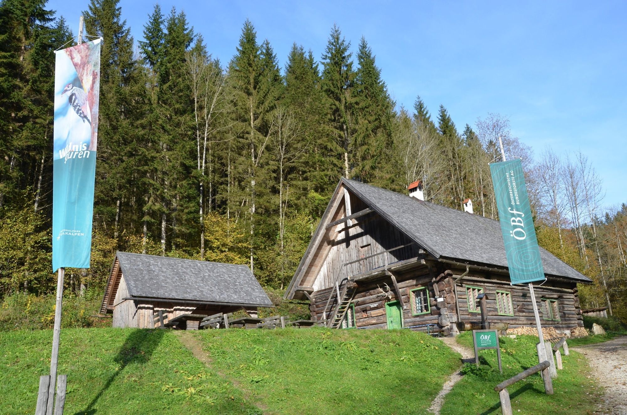
Cultural/Histórico
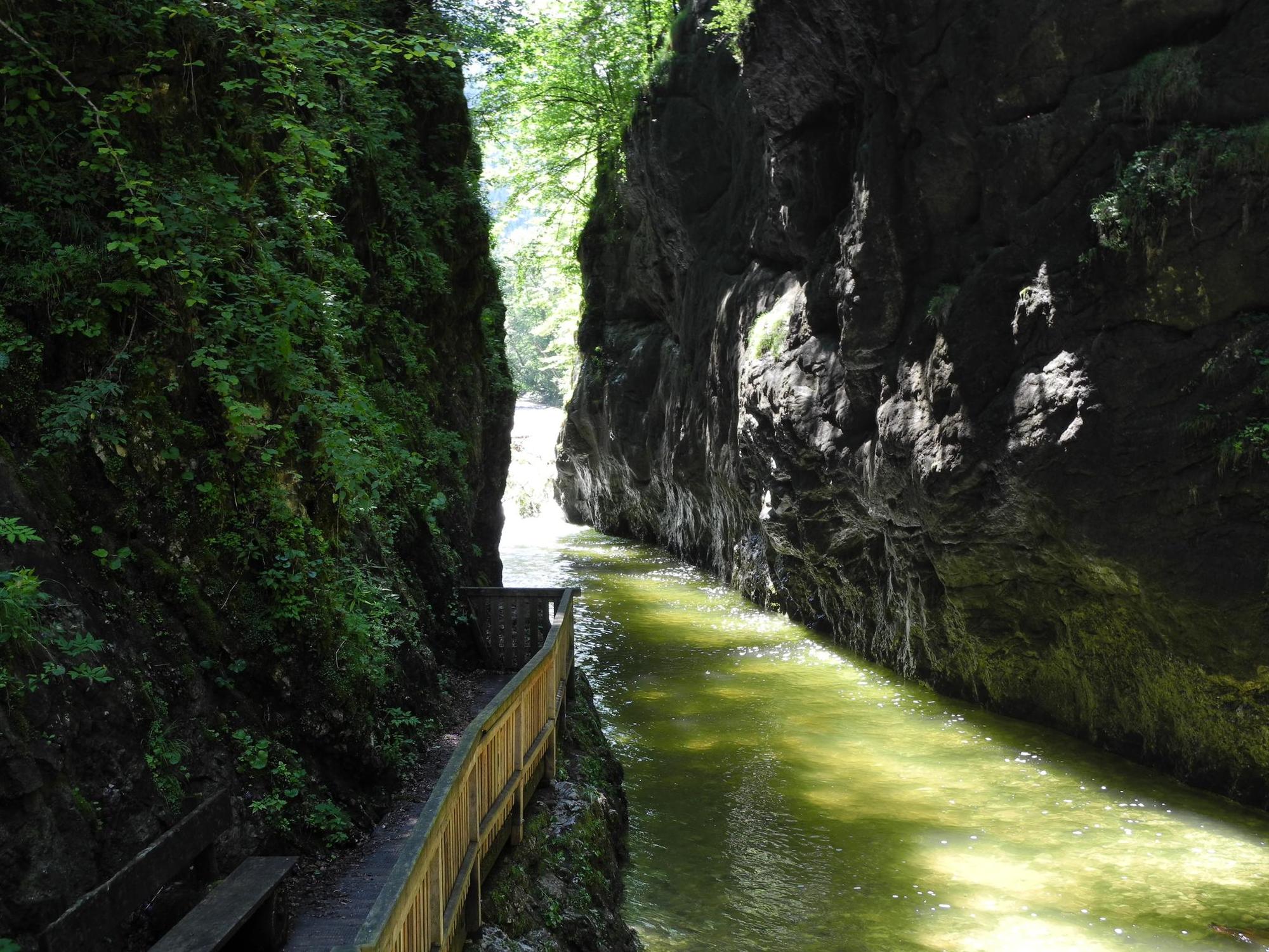
Vistas panorámicas
Más circuitos por las regiones