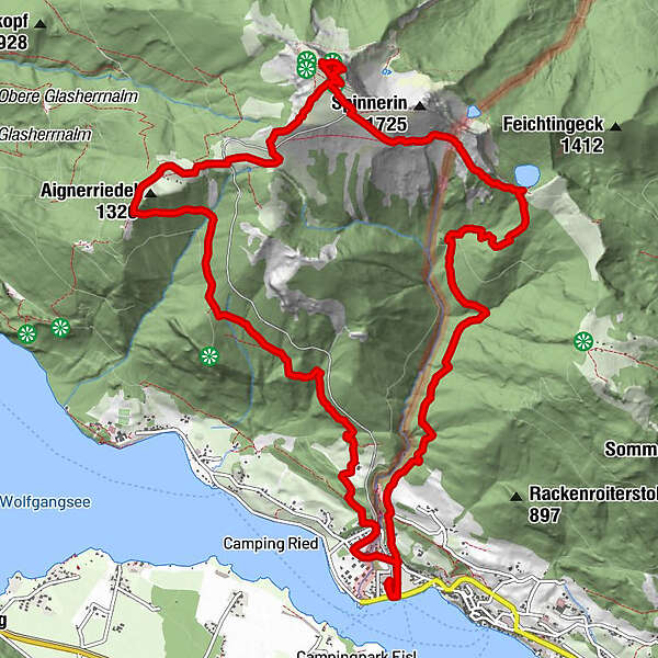
Datos del tour
16,71km
535
- 1.775m
1.245hm
1.255hm
05:49h
- Breve descripción
-
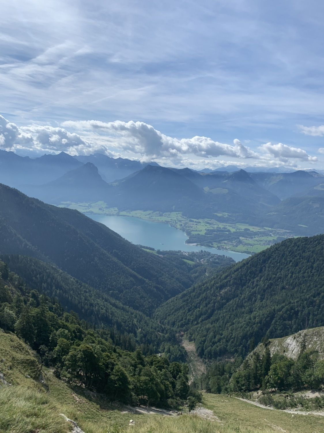
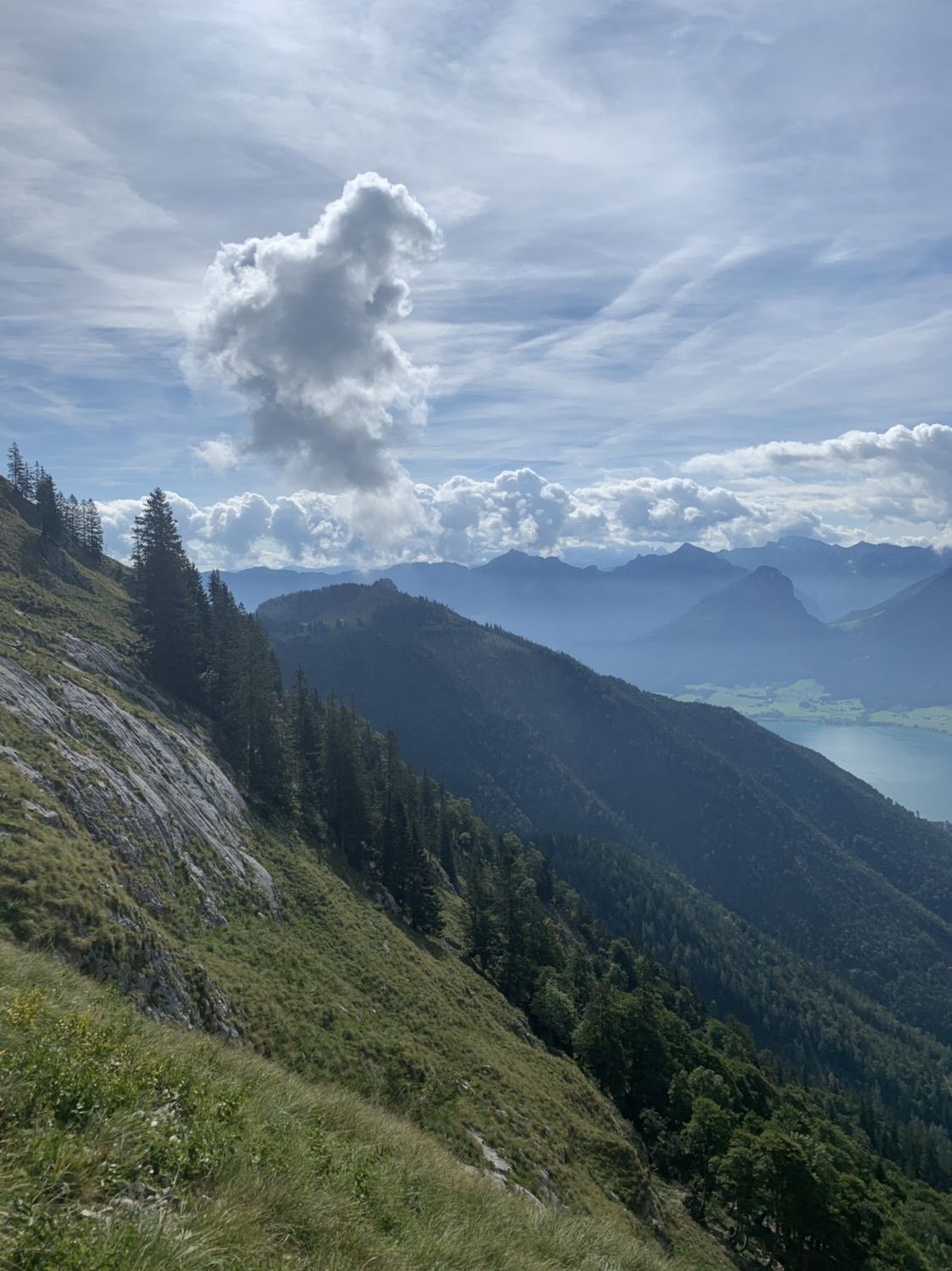
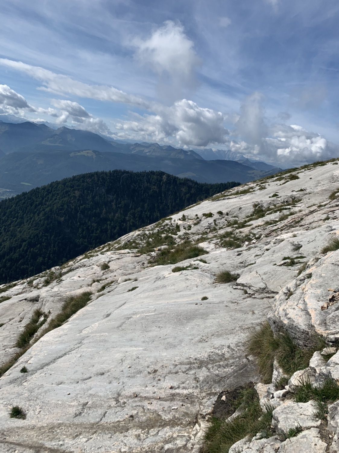
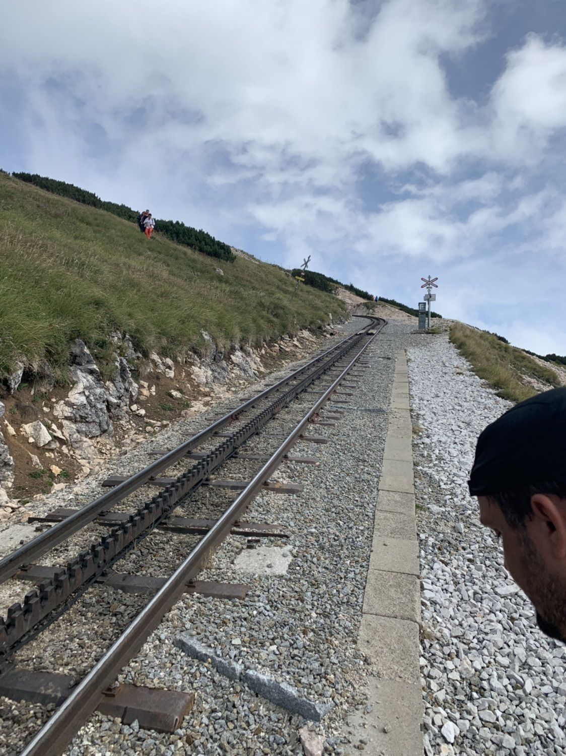
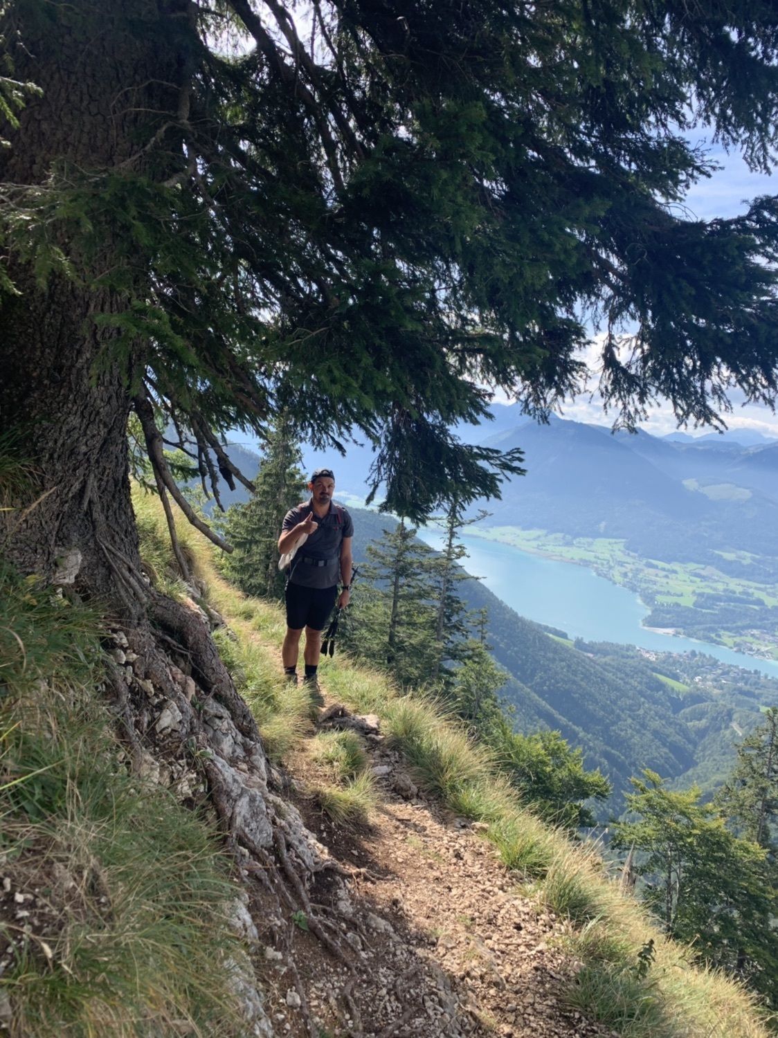
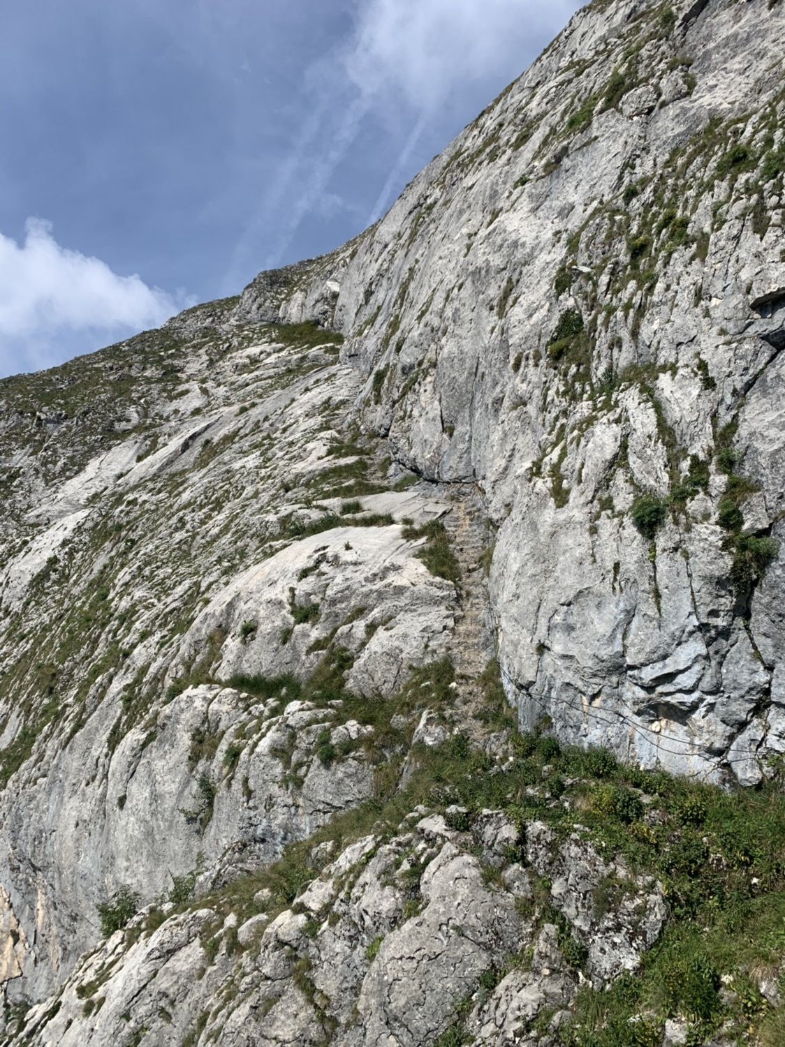
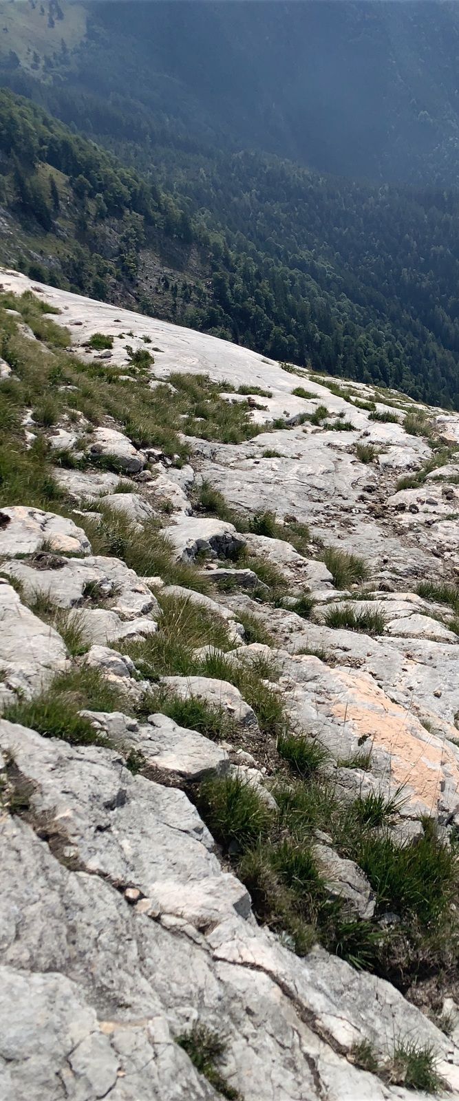
Anstieg über Purtscheller Steig
- Dificultad
-
medio
- Valoración
-
- Ruta
-
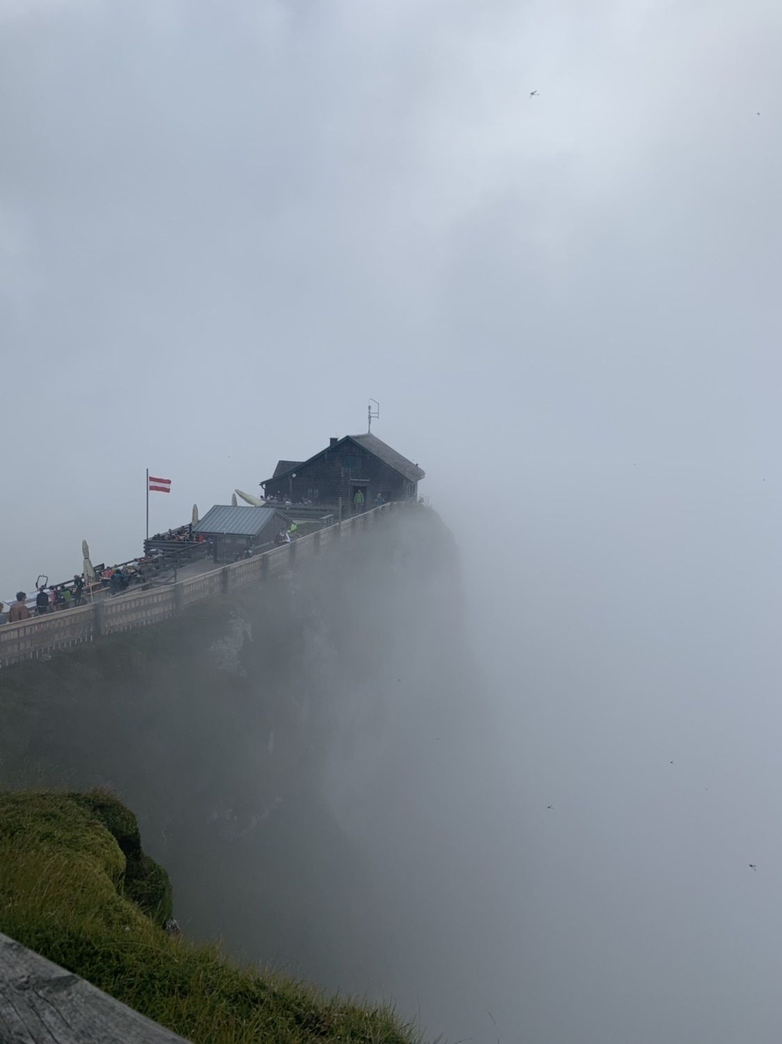
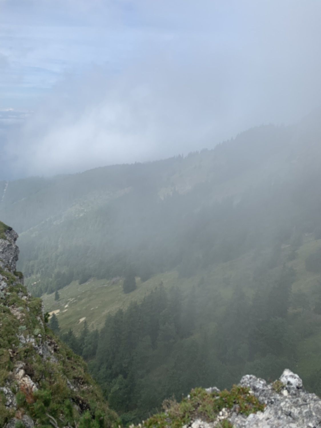
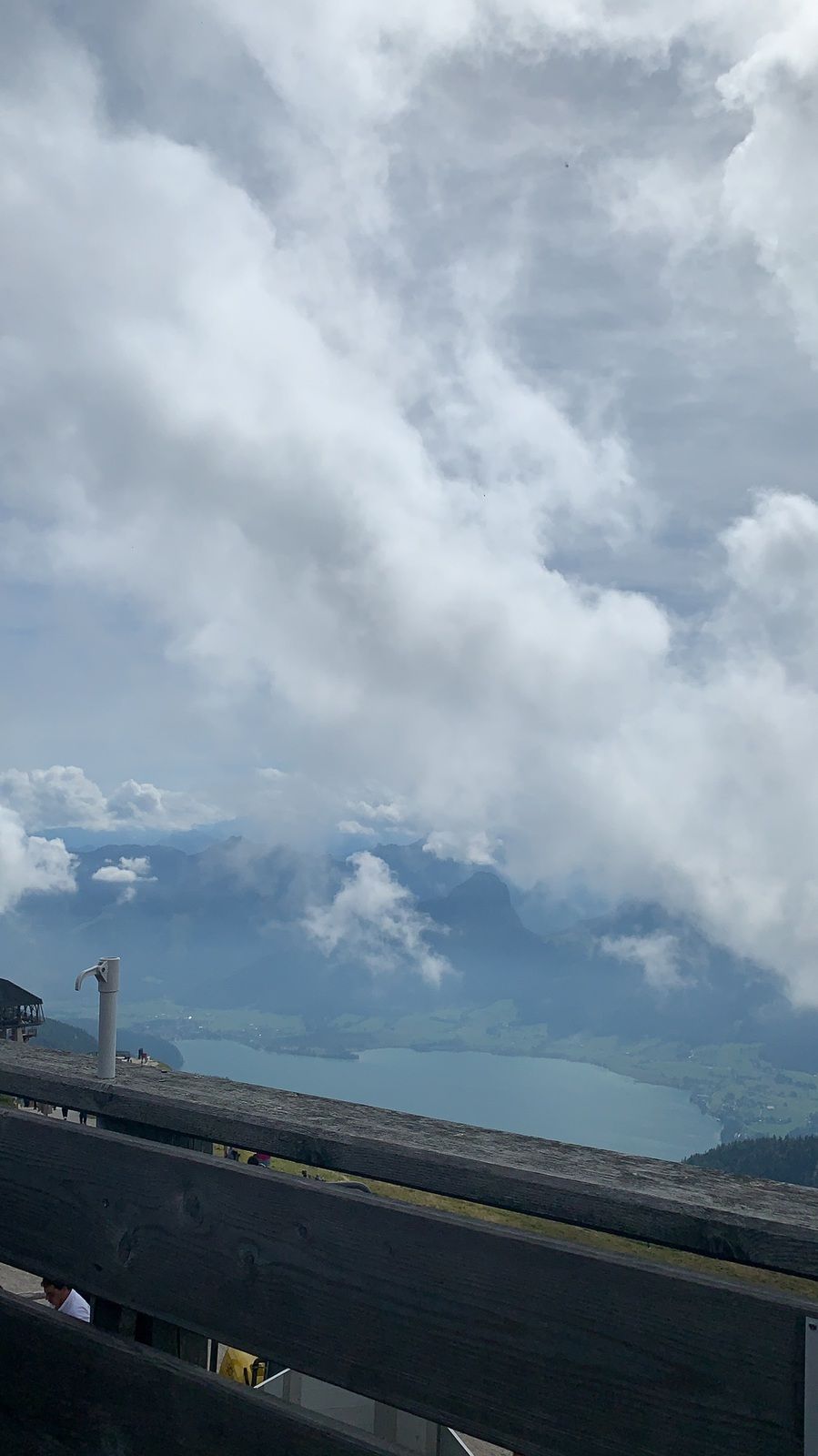
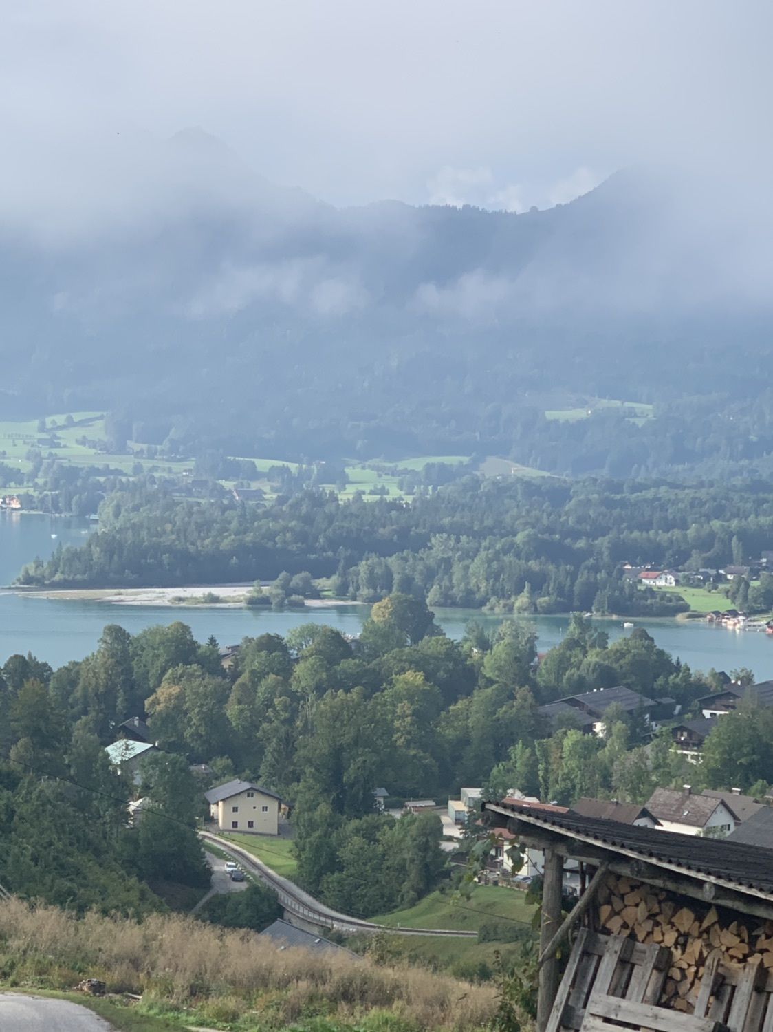
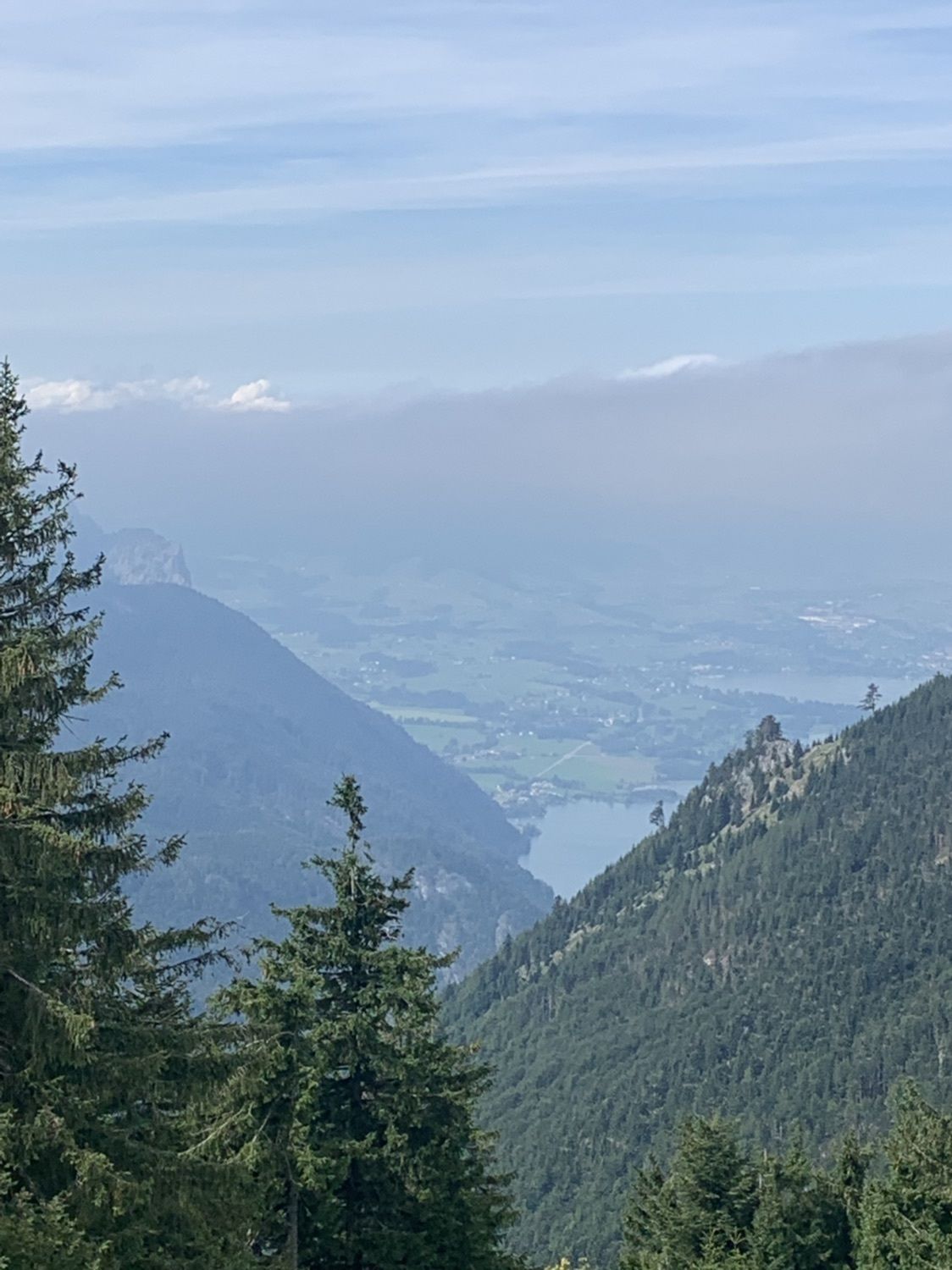
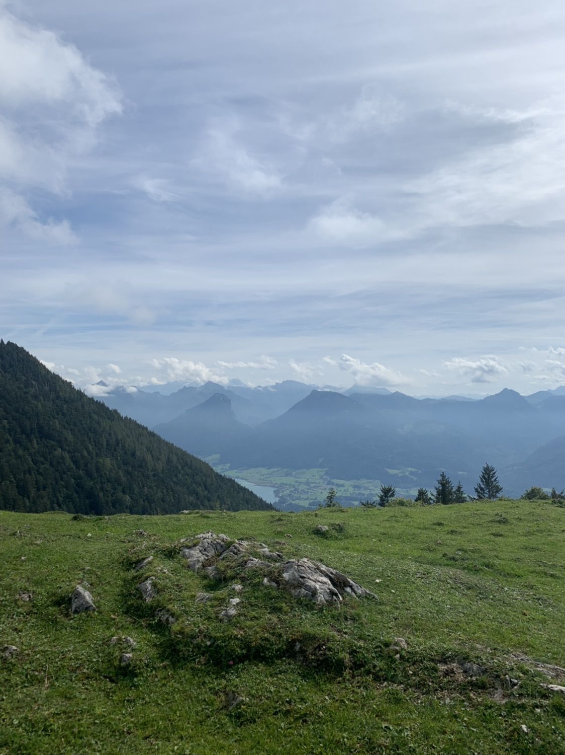
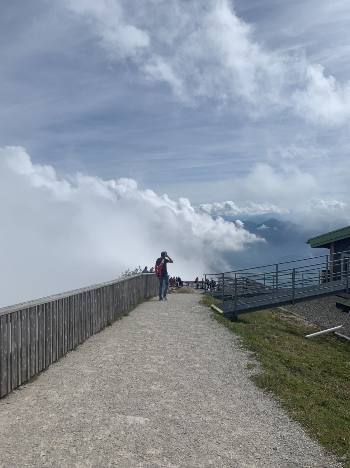
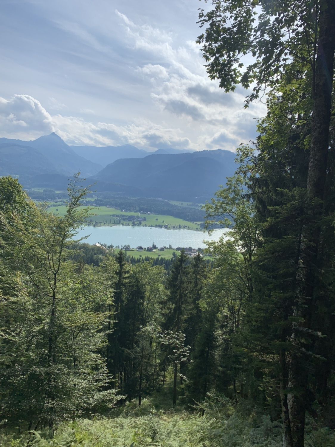
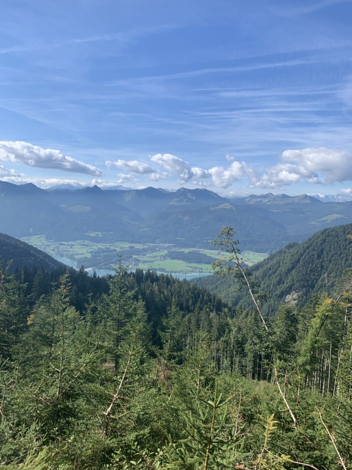
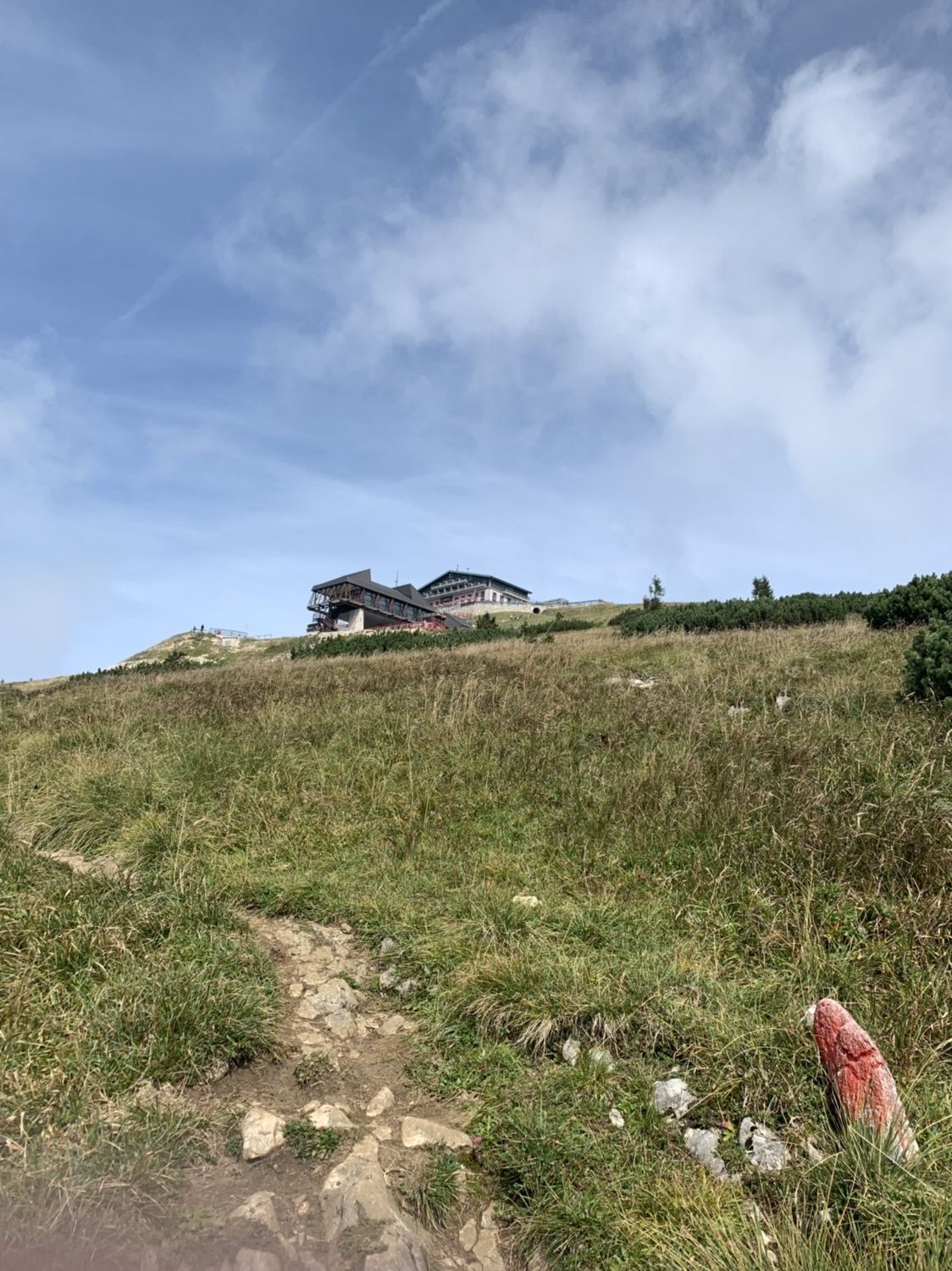
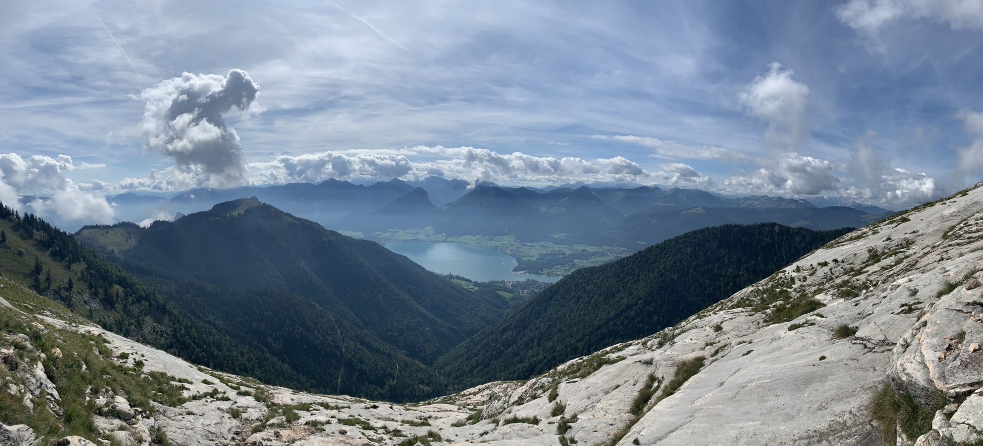
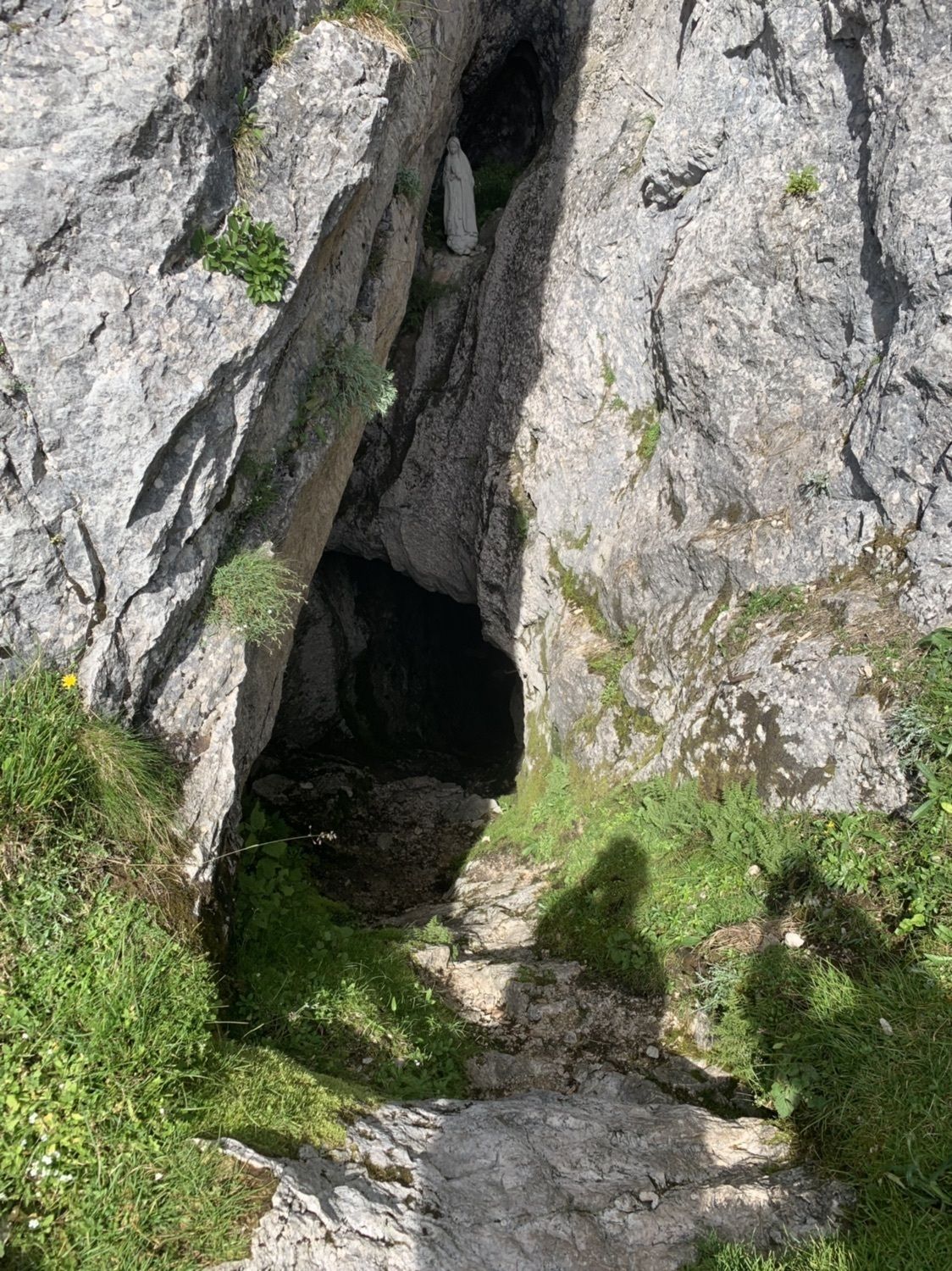
St. Wolfgang Schafbergbf (542 m)0,2 kmWetterloch6,9 kmHimmelspfortenhütte7,9 kmHimmelspforte (1.736 m)7,9 kmSchafberg panorama (1.783 m)8,0 kmSchafberg (1.783 m)8,1 kmHotel Schafbergspitze8,2 kmSchafbergspitze (1.732 m)8,5 kmSchafbergalm (1.363 m)10,0 kmGasthof Schafberg Alpe10,0 kmSt. Wolfgang Schafbergbf (542 m)16,5 kmSchafbergbahn16,5 km
- Punto álgido
- 1.775 m