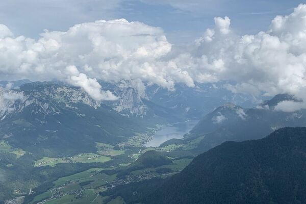
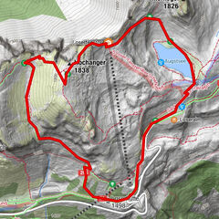
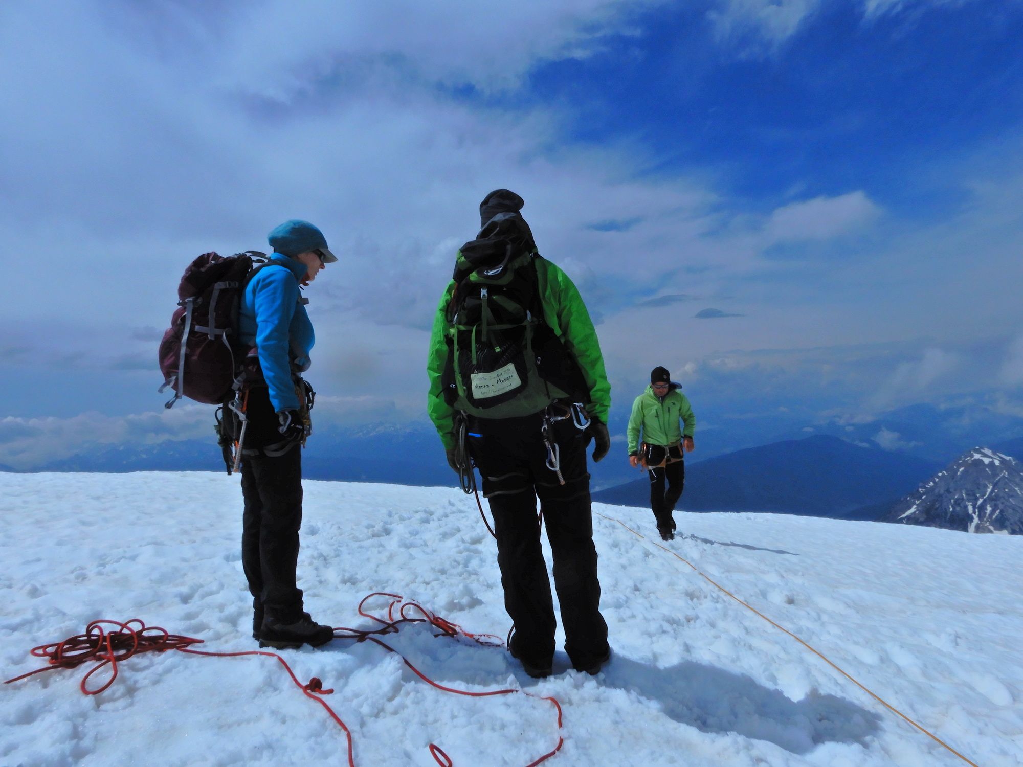
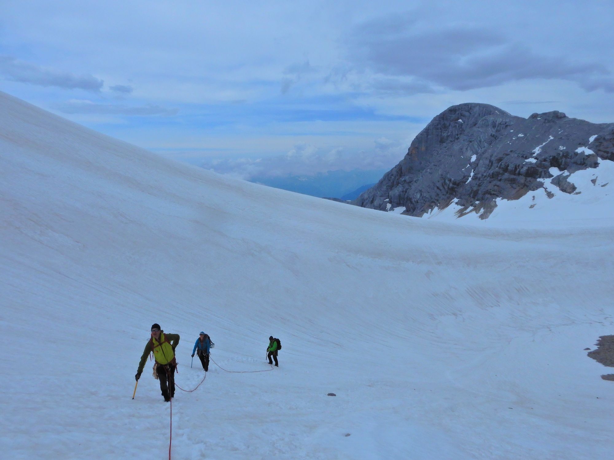
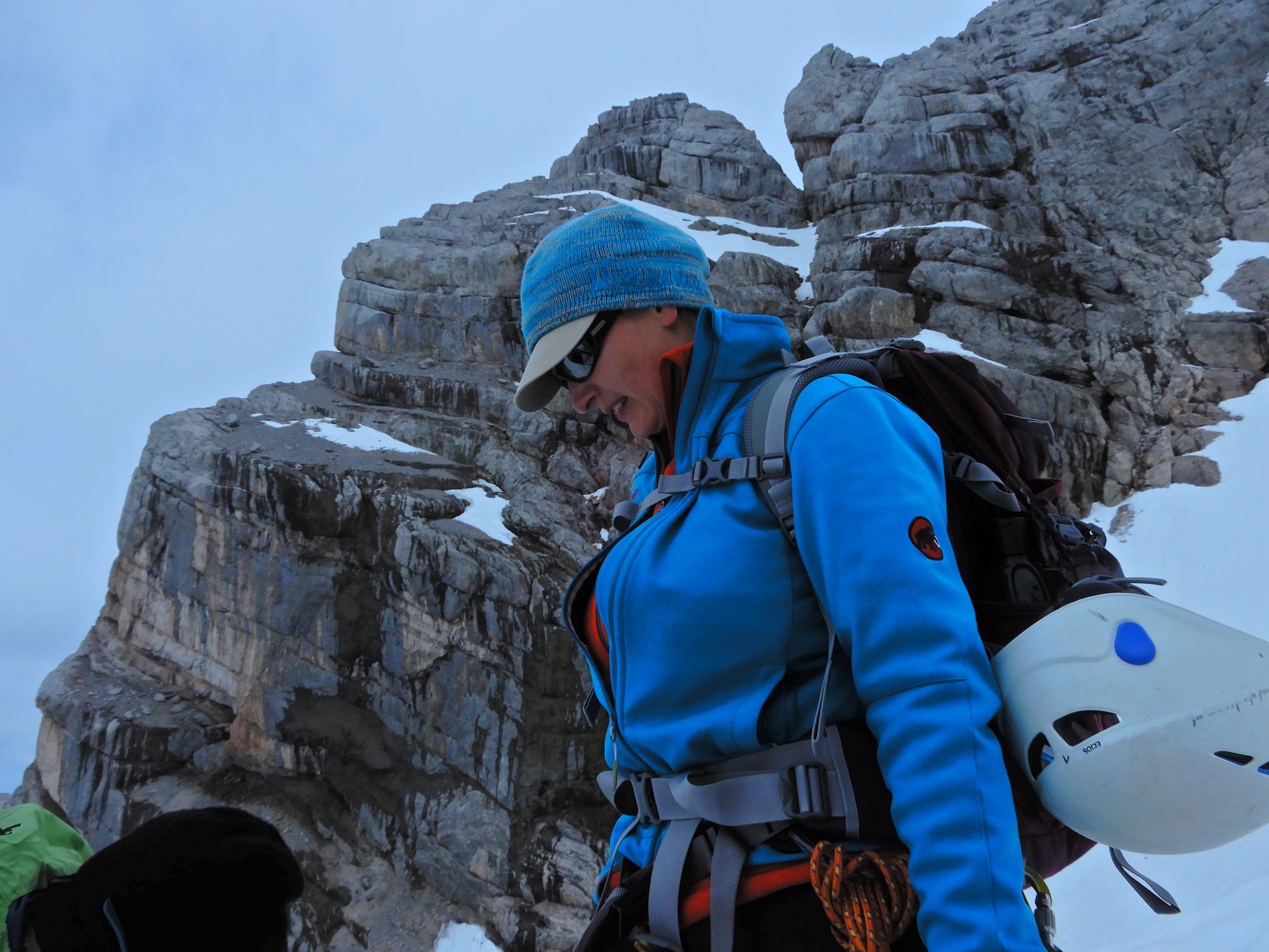
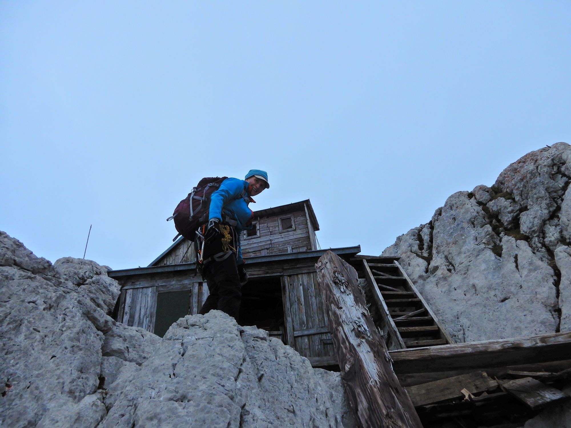
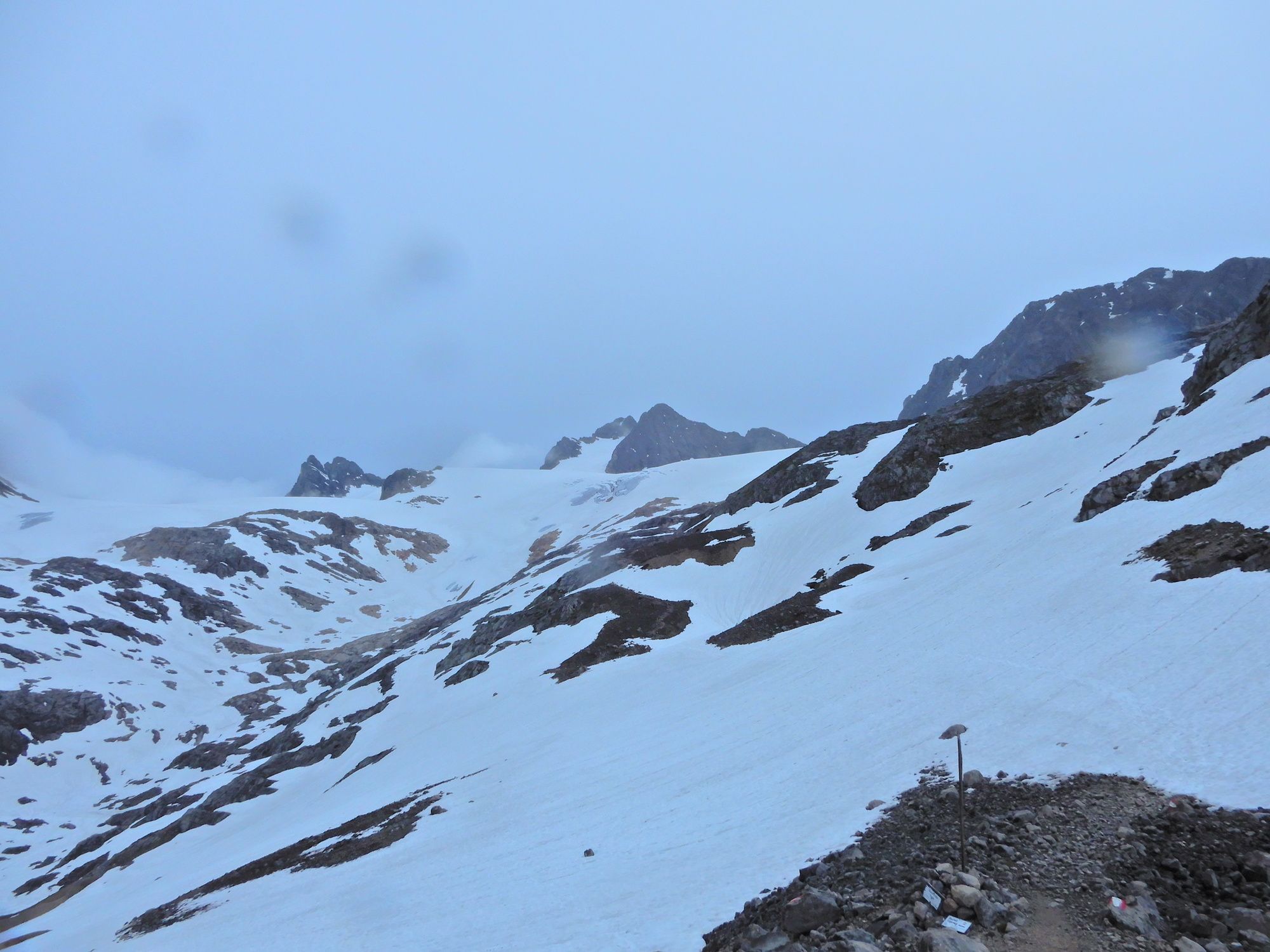
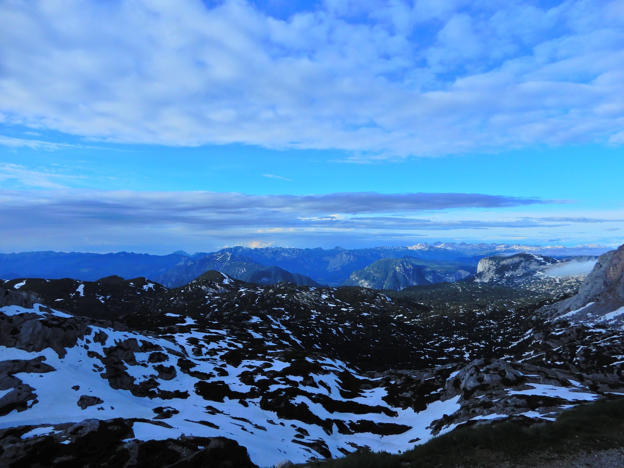
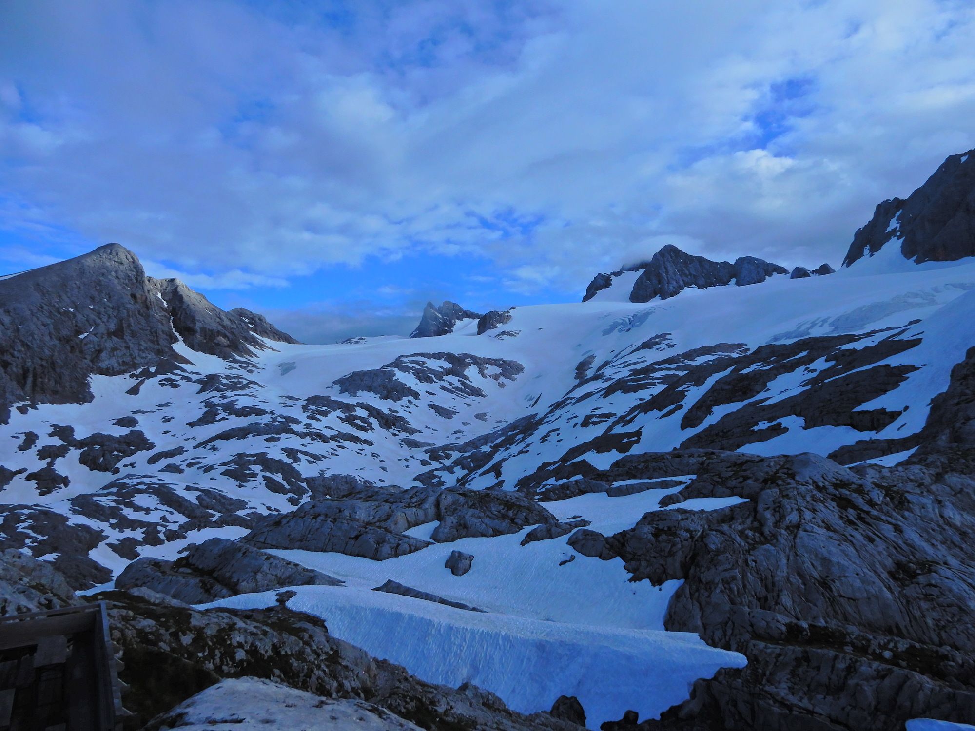
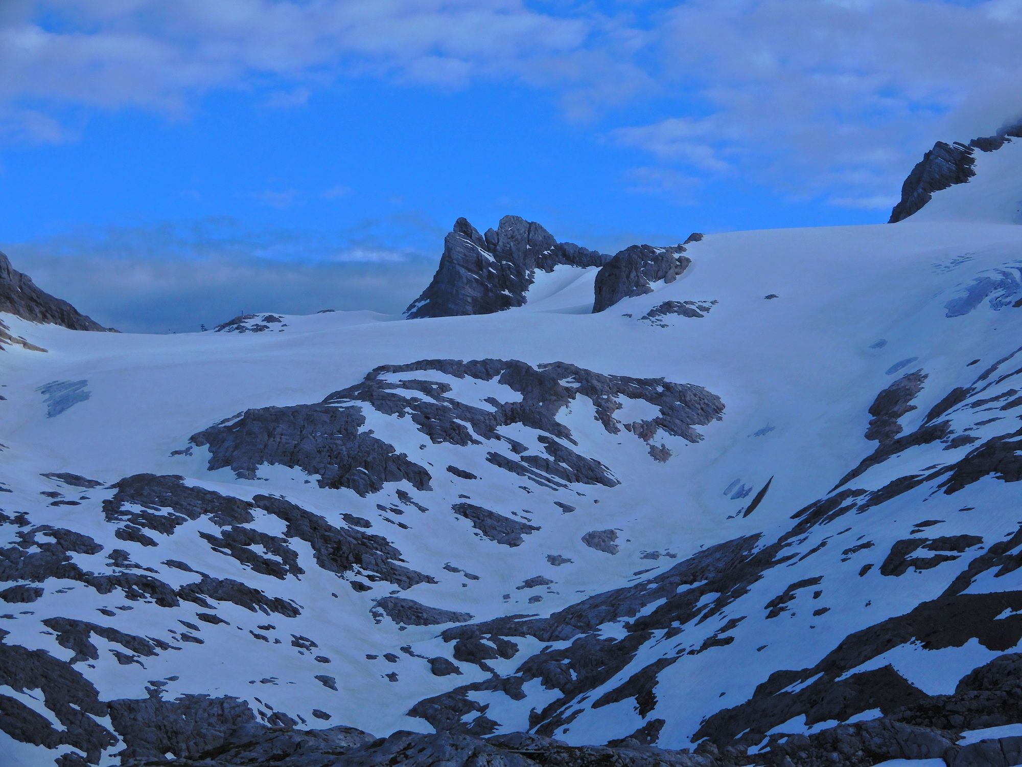
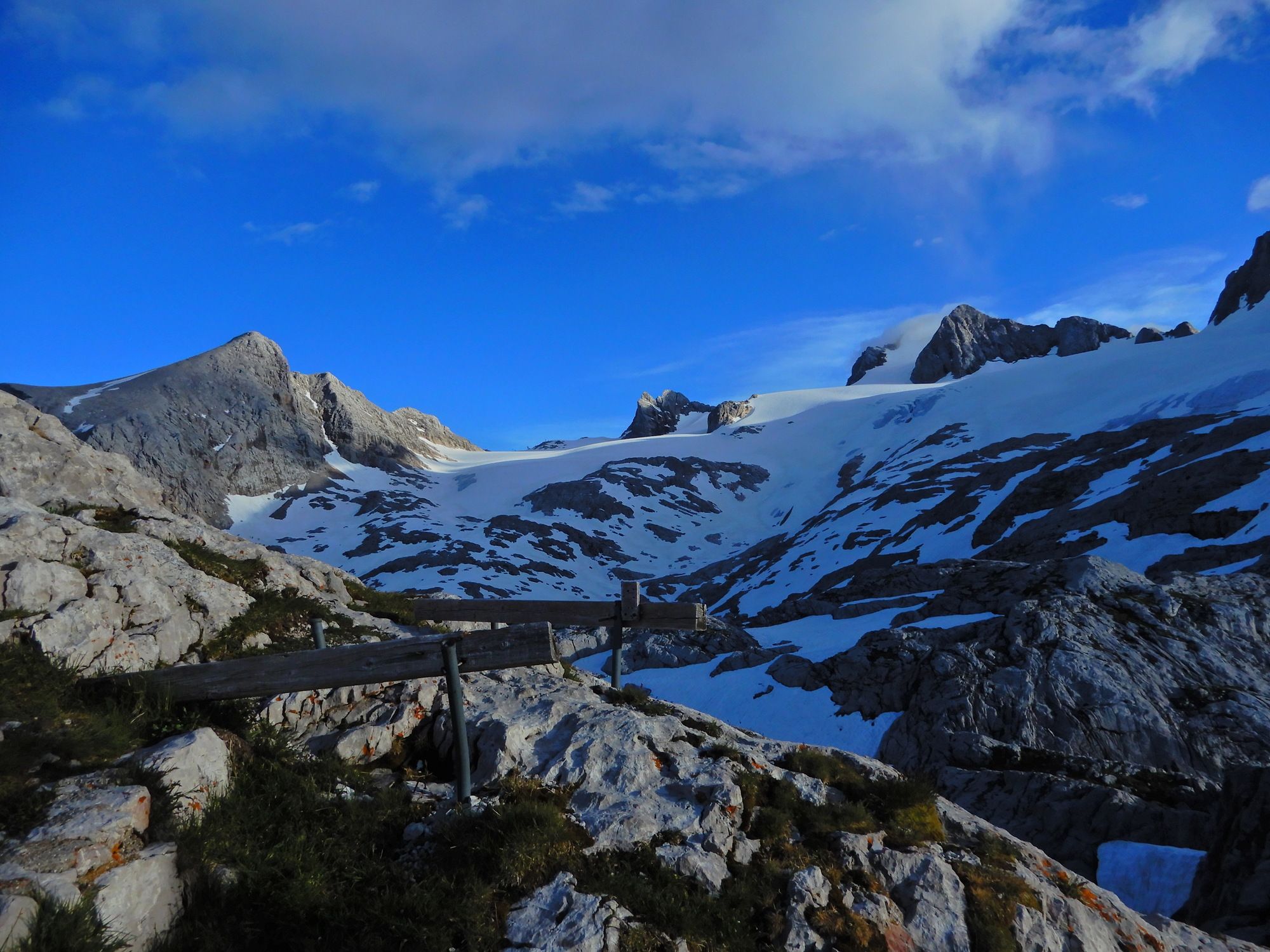
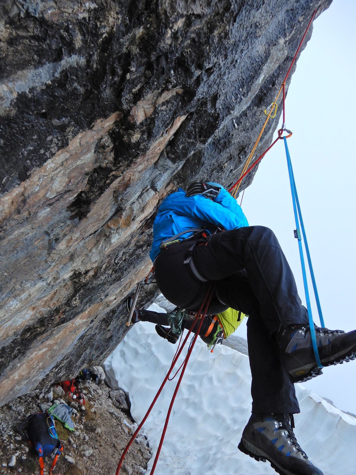
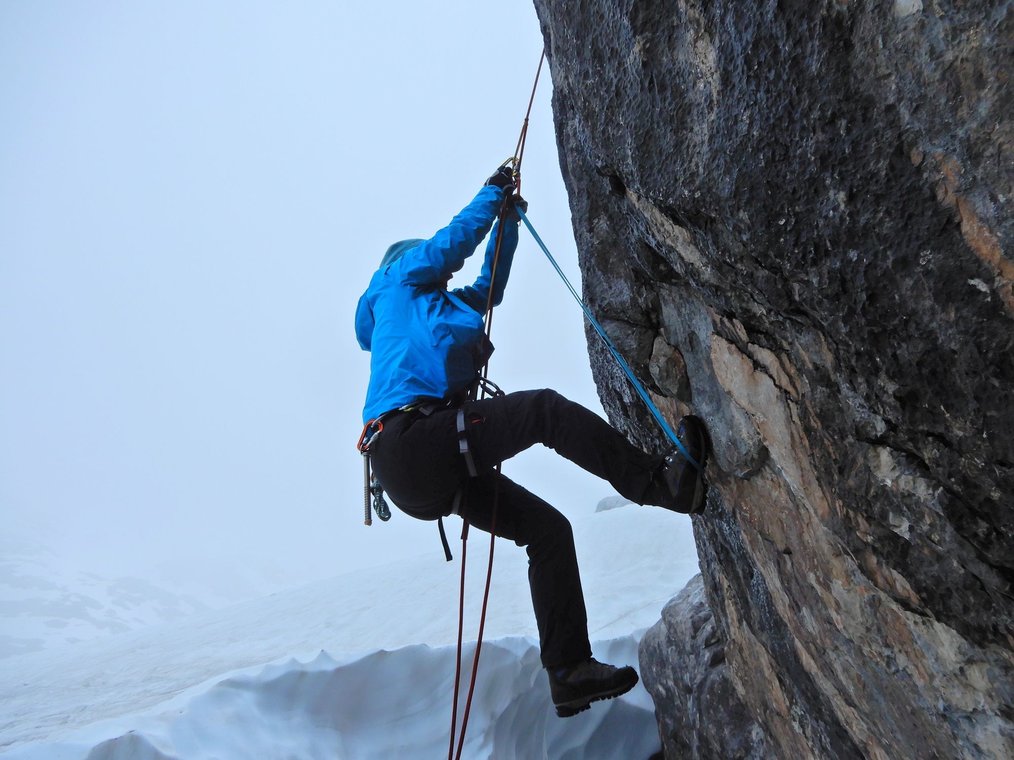
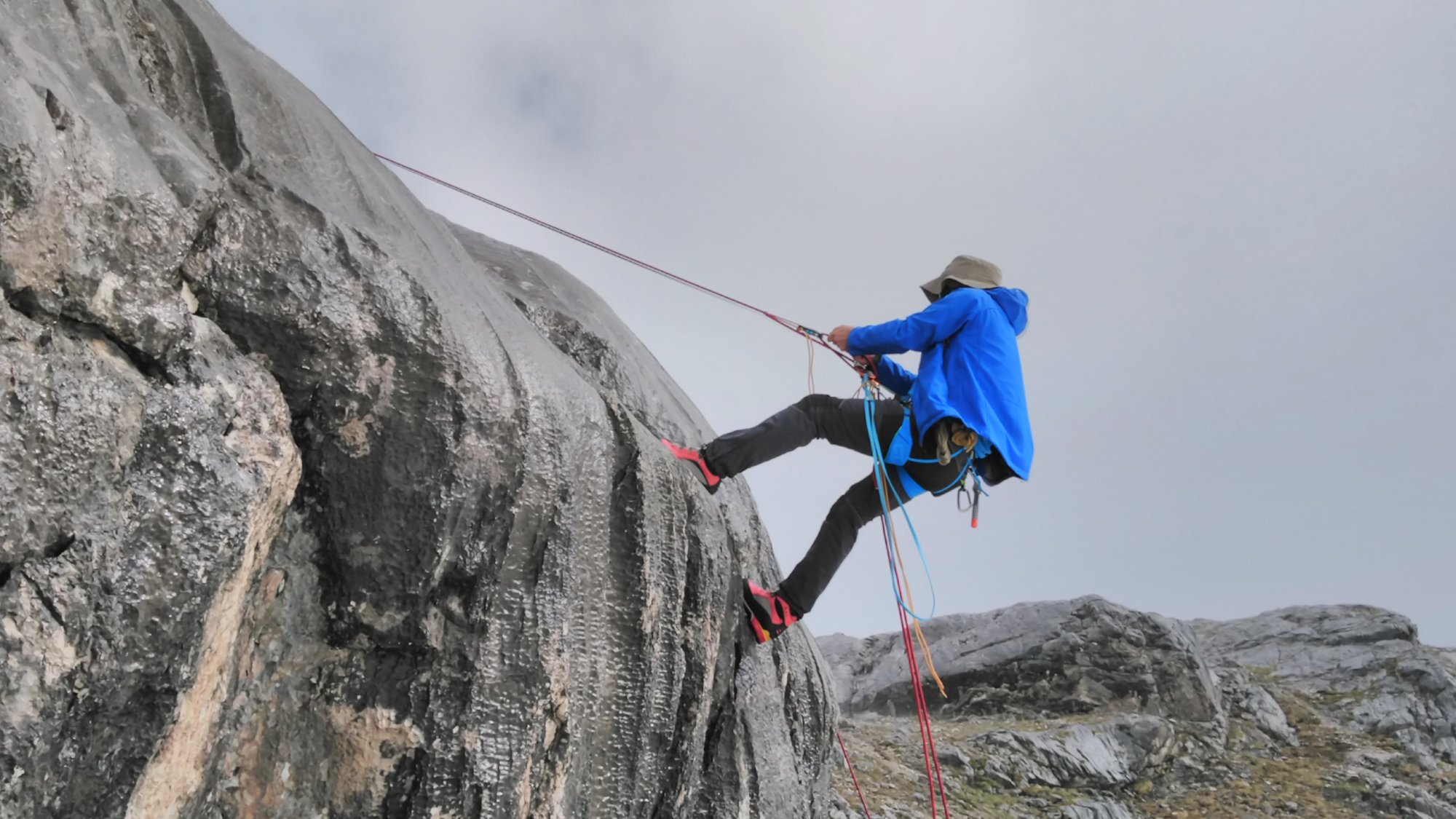
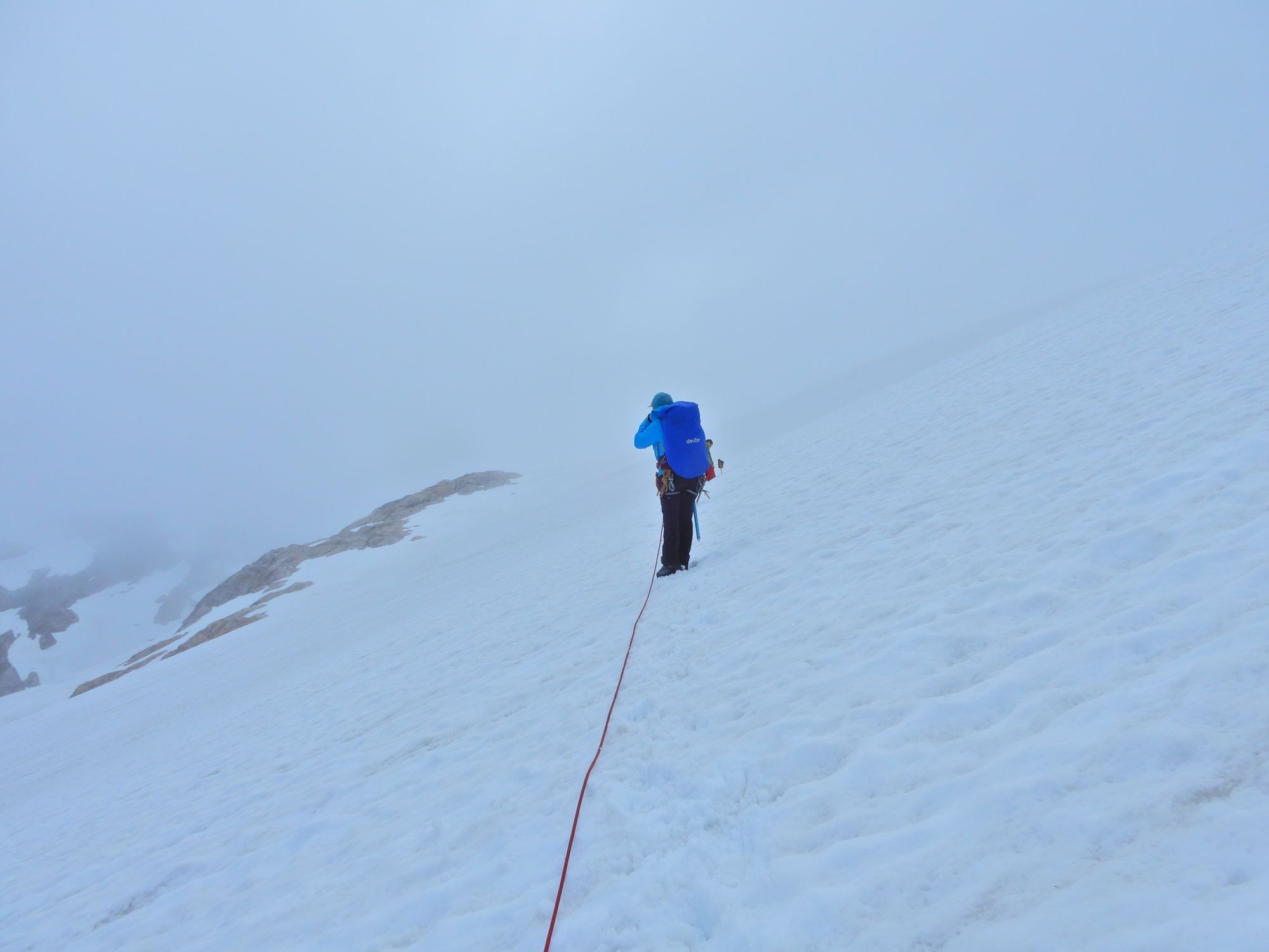
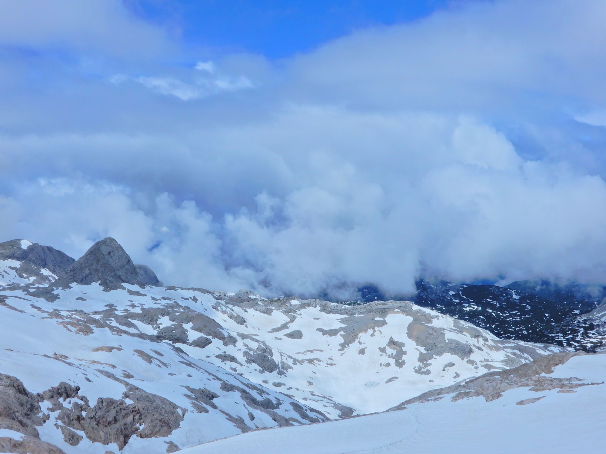
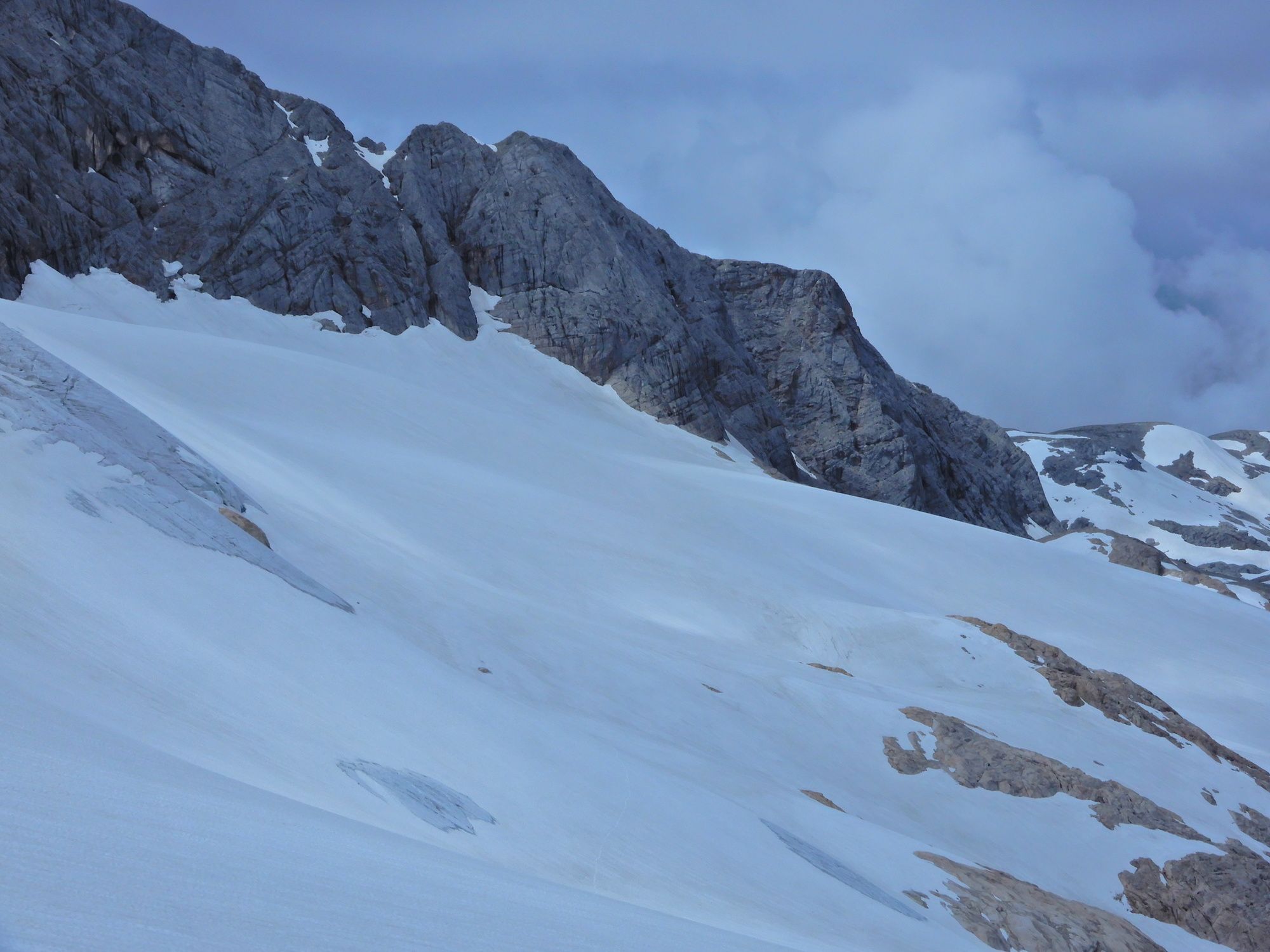
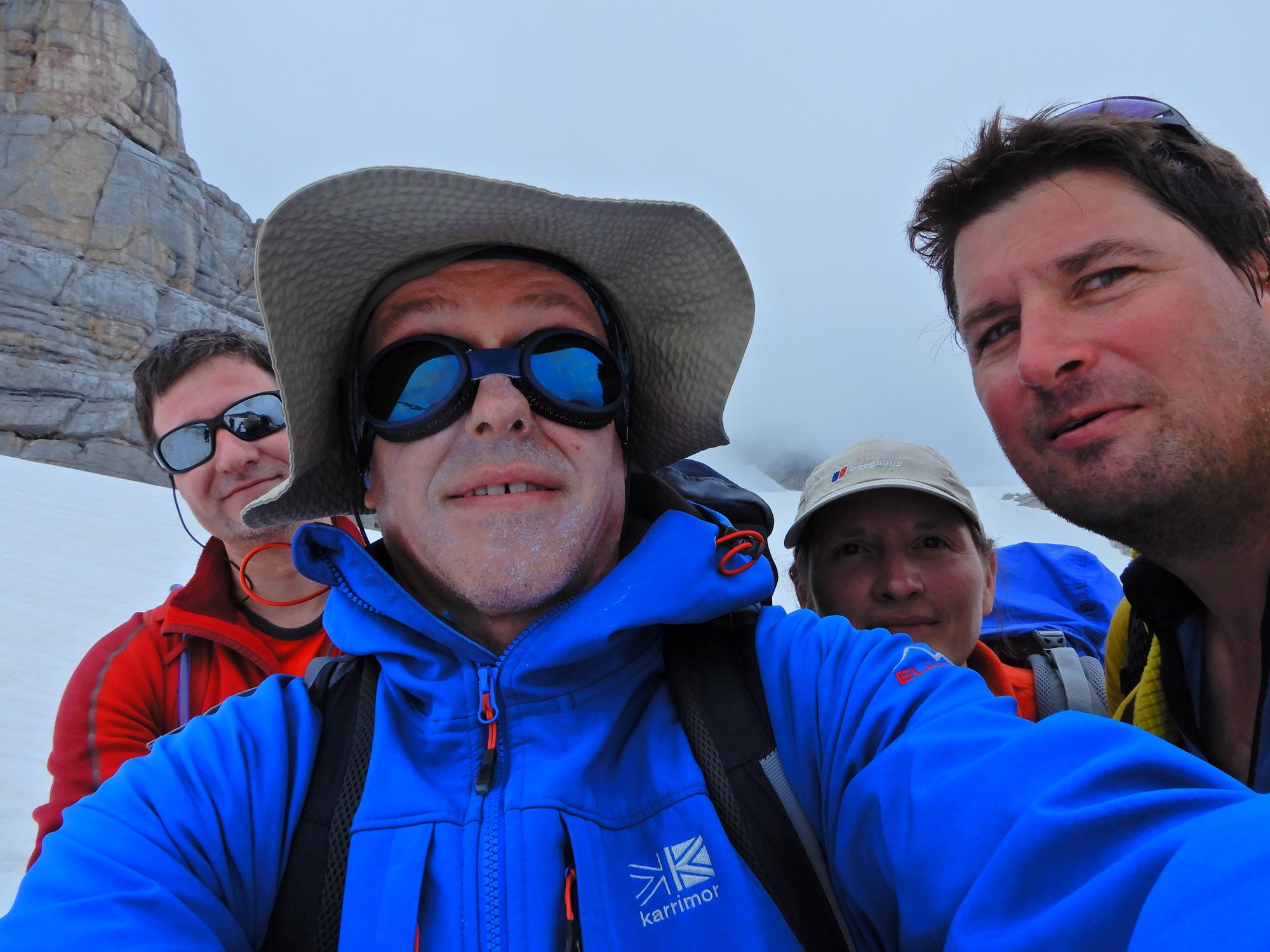
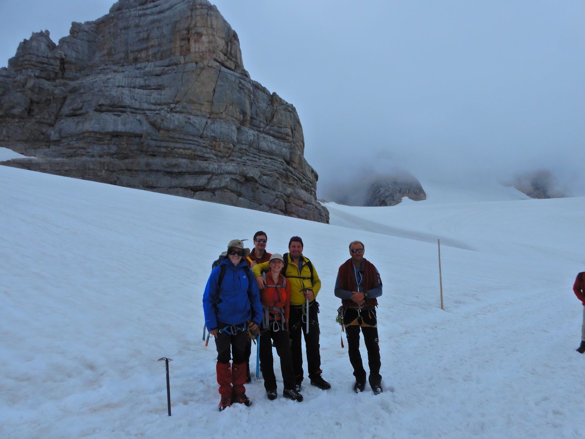
Dachsteingebirge: Hallstätter Gletscher

Excursión de alta montaña

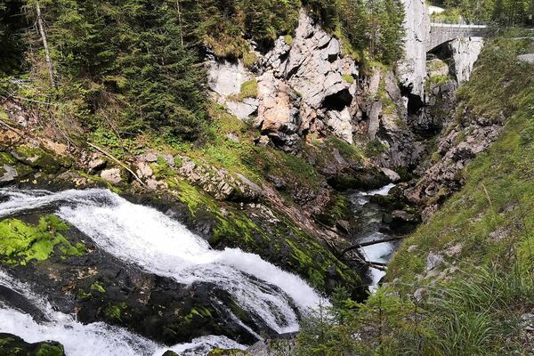
© gert gasperin

© gert gasperin

© gert gasperin

© gert gasperin

© gert gasperin

© gert gasperin

© gert gasperin

© gert gasperin

© gert gasperin

© gert gasperin
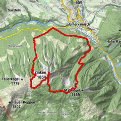
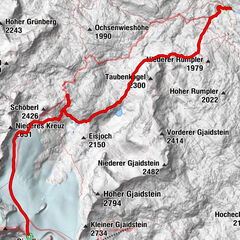
Datos del tour
4,61km
2.188
- 2.661m
467hm
30hm
02:00h
- Dificultad
-
medio
- Valoración
-
- Punto de salida
-
Simonyhütte
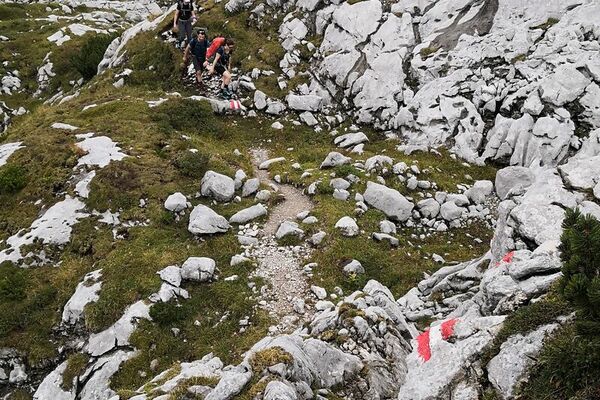
- Ruta
-
DachsteinkapelleHunerkogel (2.687 m)4,4 kmDachstein glacier restaurant4,5 km
- La mejor temporada
-
enefebmarabrmayjunjulagosepoctnovdic
- Punto álgido
- 2.661 m
- Punto final
-
Bergstation, Hunerkogel


GPS Downloads


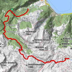
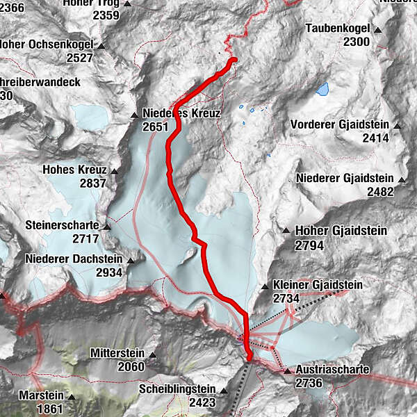
Más circuitos por las regiones