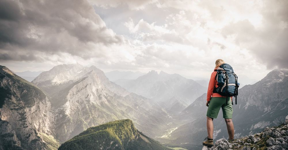
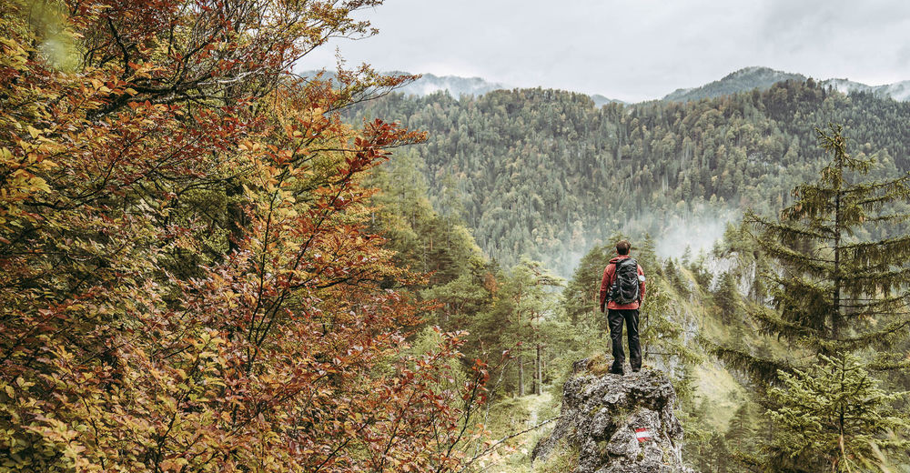
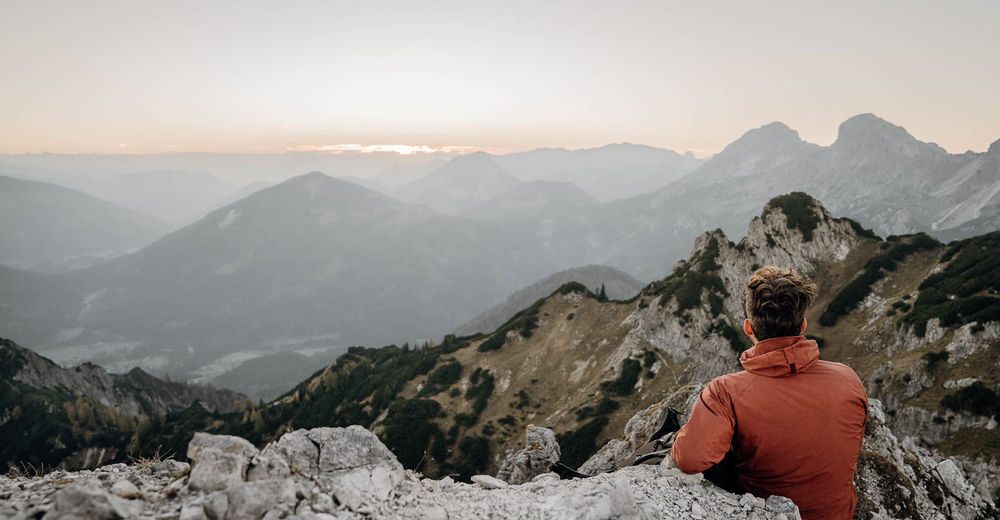
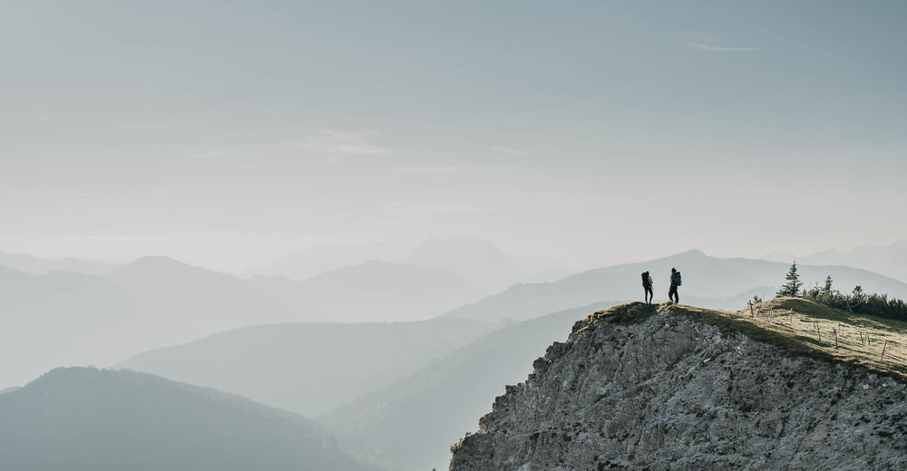
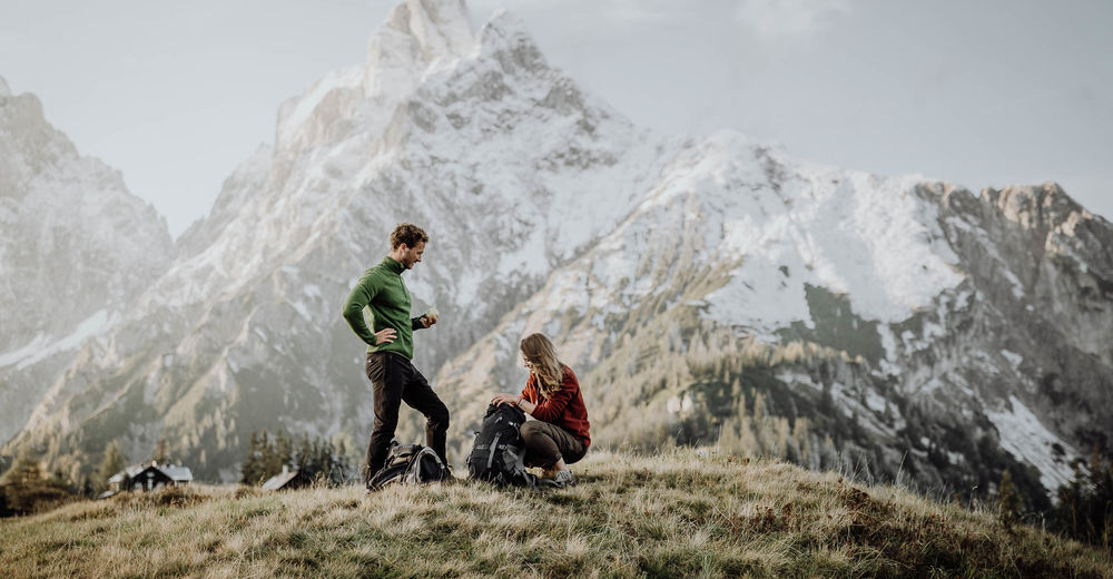
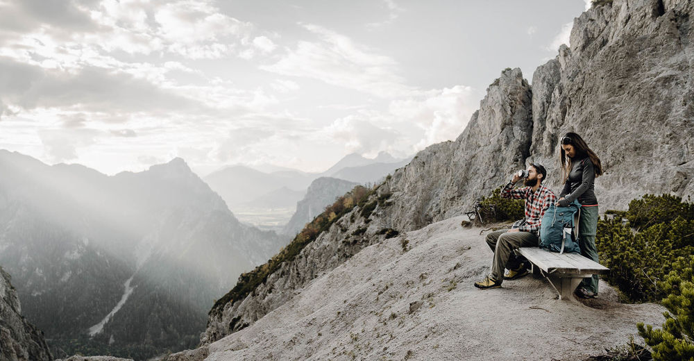
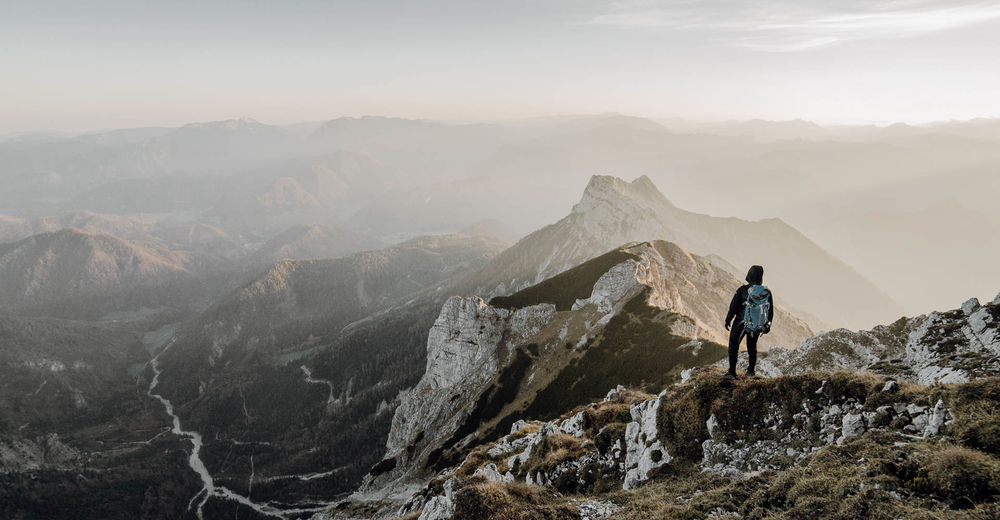
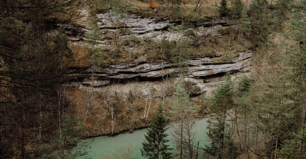
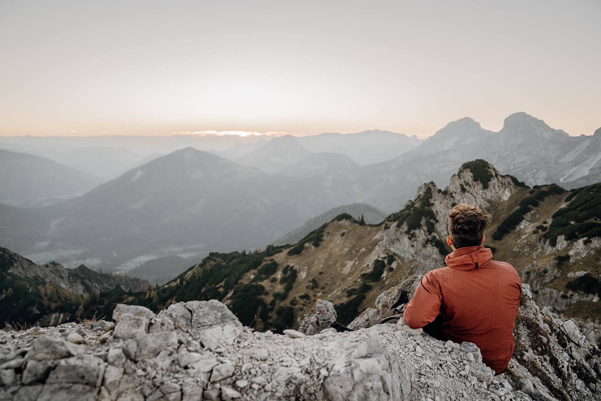
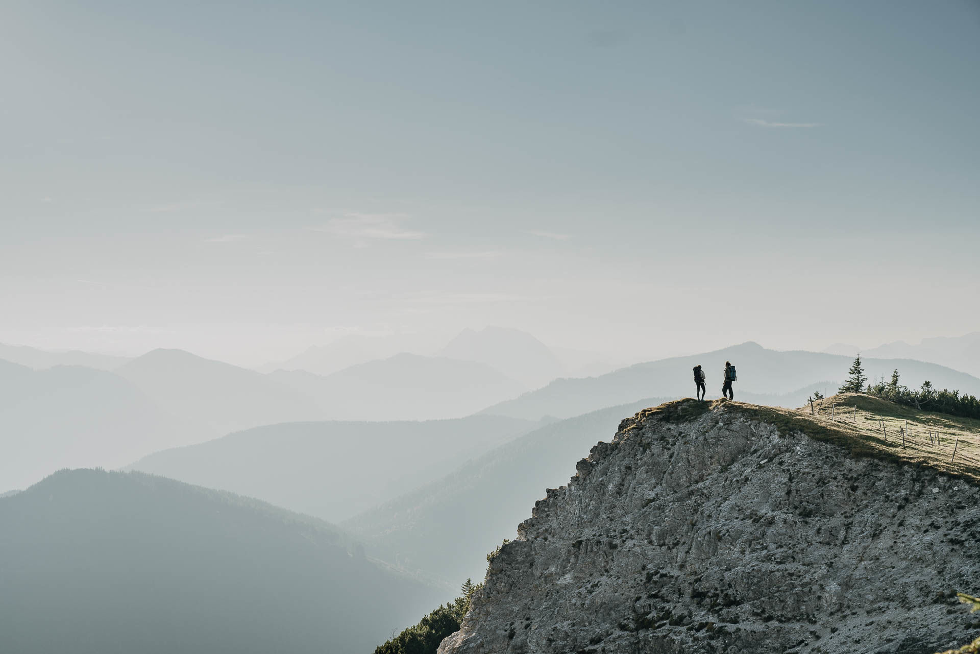
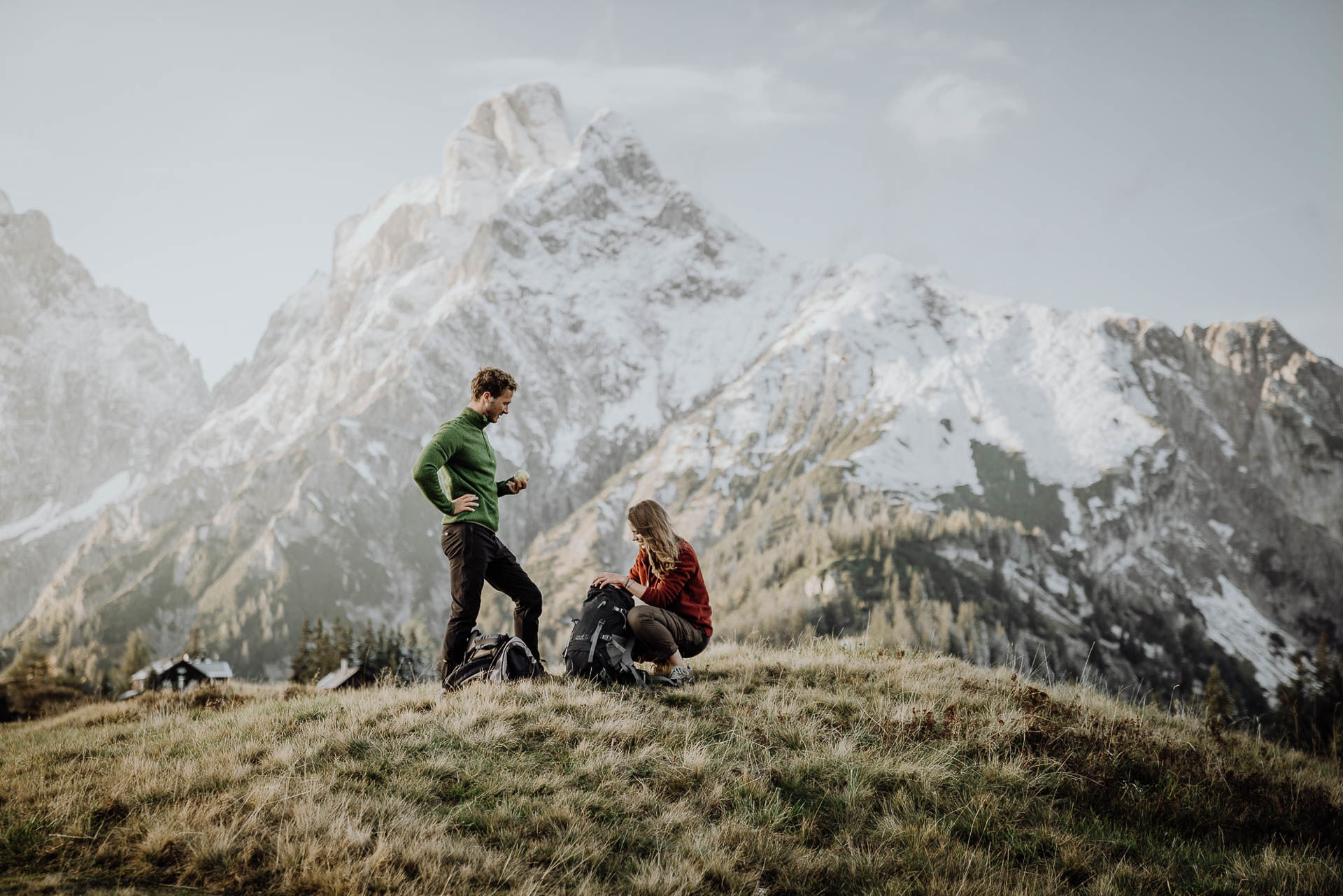
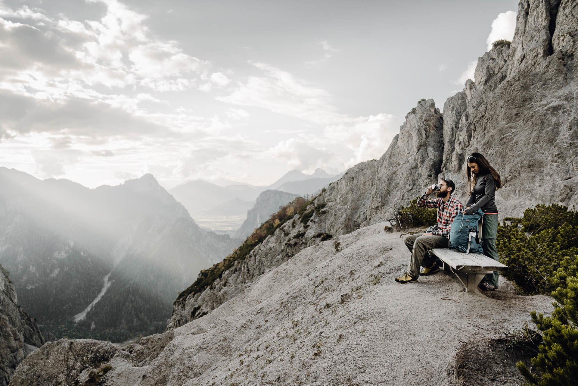
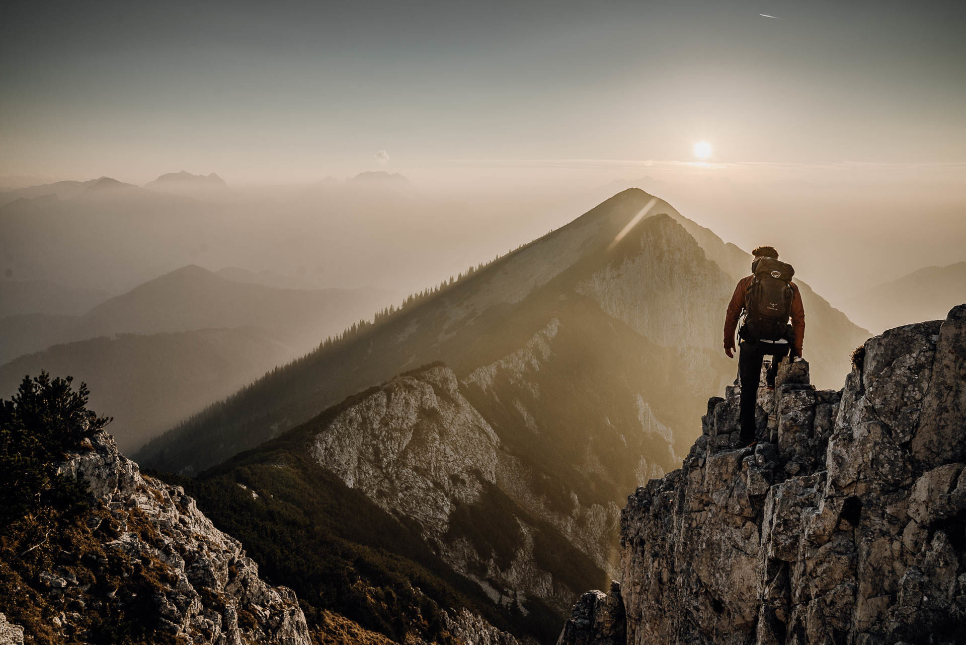
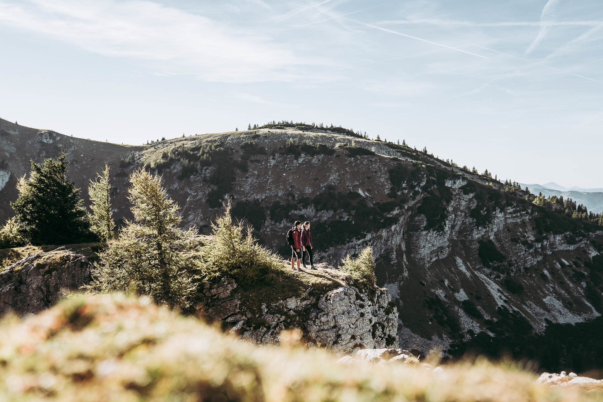
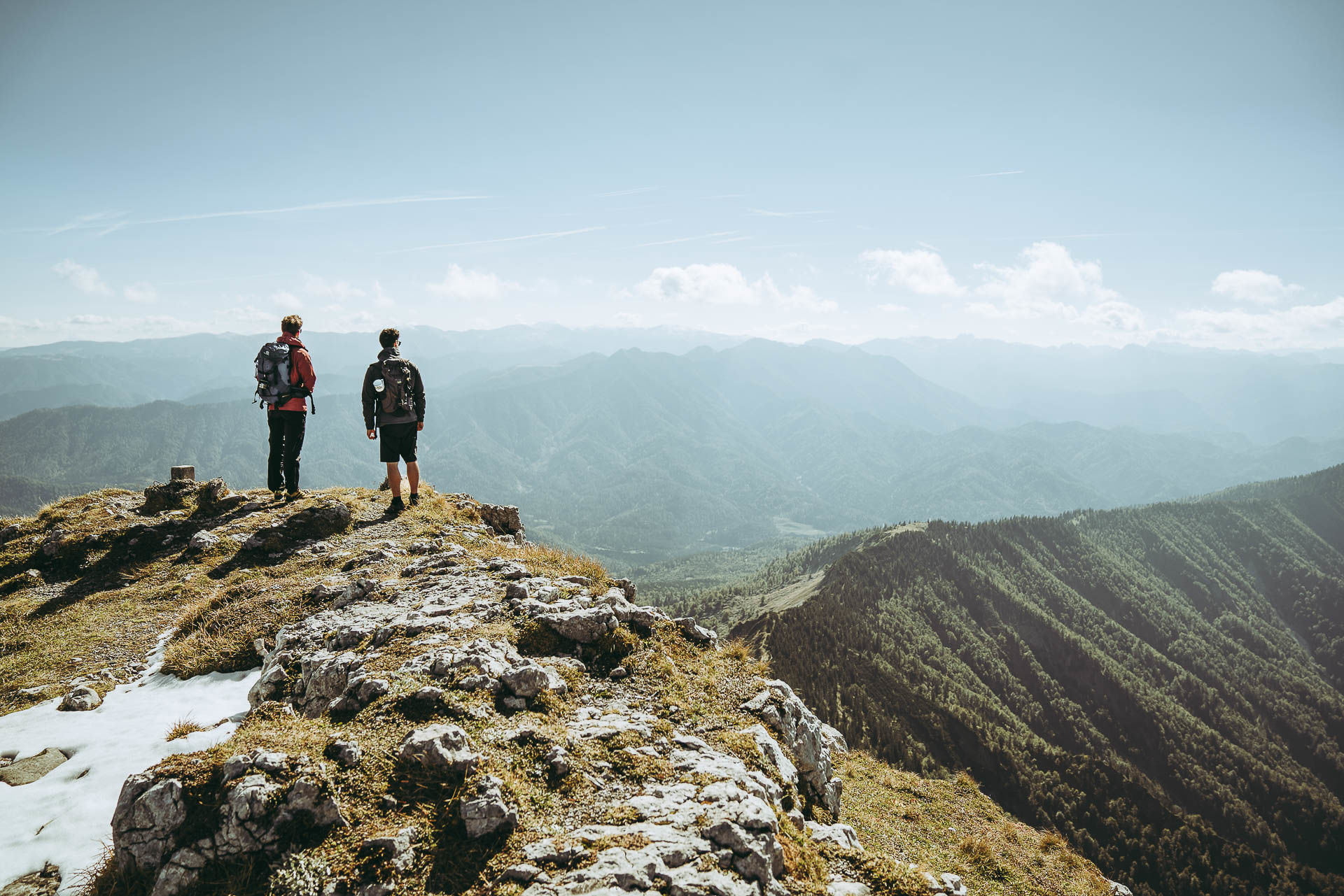
Lynx Trail - Through Austria’s wild heartlands

Senderismo

© TV Gesäuse - Tourismusverband Gesäuse
© TV Gesäuse - Tourismusverband Gesäuse

© TV Gesäuse - Tourismusverband Gesäuse
© TV Gesäuse - Tourismusverband Gesäuse
© TV Gesäuse - Tourismusverband Gesäuse
© TV Gesäuse - Tourismusverband Gesäuse
© TV Gesäuse - Tourismusverband Gesäuse
© TV Gesäuse - Tourismusverband Gesäuse
© TV Gesäuse - Tourismusverband Gesäuse
© TV Gesäuse - Tourismusverband Gesäuse

- Breve descripción
-
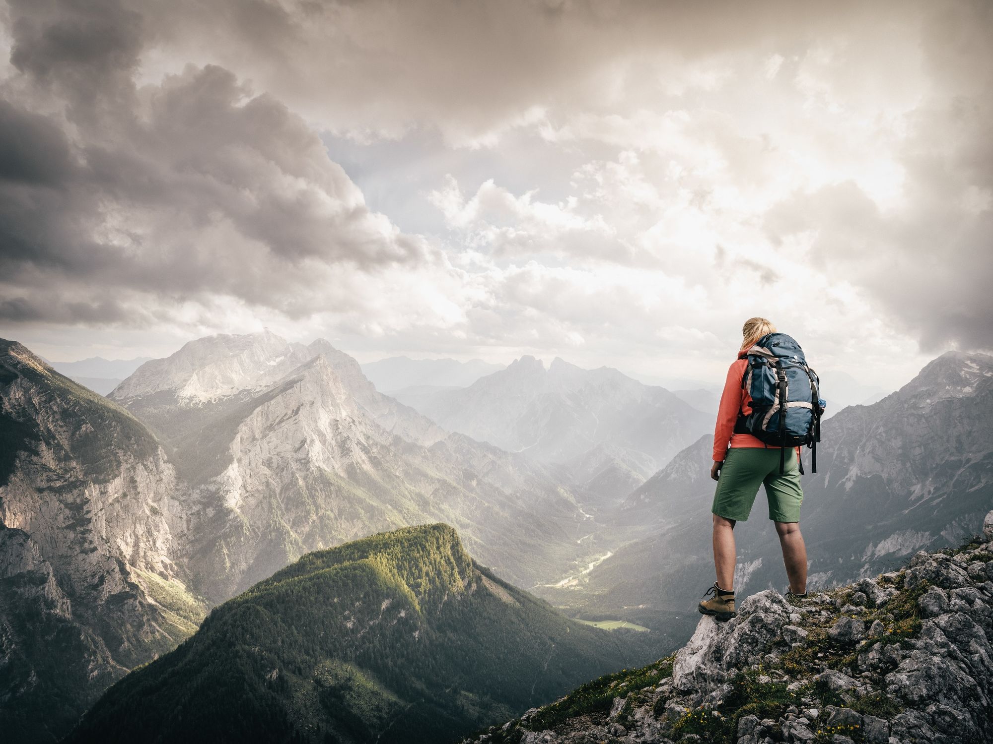
A trail to help the lynx
Long-distance walking in the home of the lynx - helping protect it
- Dificultad
-
medio
- Valoración
-
- Ruta
-
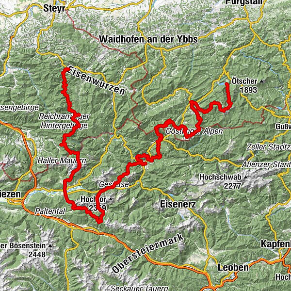
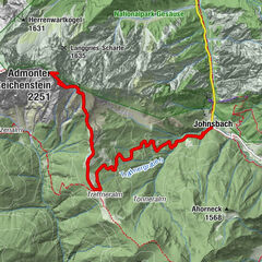
Reichraming0,0 kmReichraming0,7 kmWilder Graben10,5 kmGroße Klause16,5 kmAnlaufalm23,0 kmSchleierfall26,1 kmWeißwasser28,8 kmBlahbergalm30,5 kmAhornsattel34,1 kmZickerreith38,0 kmHengstpass (985 m)38,4 kmHengstpasshütte38,4 kmRot-Kreuz-Kapelle42,2 kmOberlaussa46,2 kmKlapfboden50,5 kmKleiner Seeboden51,7 kmGroßer Seeboden52,6 kmAdmonter Haus54,2 kmRastköpfl (1.162 m)56,8 kmJohannesbründl57,2 kmKirchenwirt60,1 kmHall60,2 kmAdmont63,3 kmKematen65,2 kmKematengraben66,2 kmSteinerner Wirt67,7 kmOberst Klinke Hütte72,0 kmKalblinggatterl (1.542 m)72,3 kmVordere Flitzenalm73,2 kmTreffneralm76,9 kmSpielkogel (1.731 m)78,6 kmBrunntörl79,5 kmAnhartskogel (1.750 m)79,9 kmJohnsbach (853 m)88,6 kmGasthof Donner88,7 kmRiesenspielplatz93,2 kmGstatterboden97,7 kmHubertuskapelle97,9 kmKropfbründl100,4 kmÜbergang (626 m)109,7 kmKirchenlandl111,1 kmPfarrkirche hl. Bartholomäus111,1 kmMooslandl114,4 kmGasthaus Mooswirt114,5 kmGams bei Hieflau127,2 kmSchwefelquelle128,3 kmPalfau137,6 kmLöschwasser Entnahmstelle138,5 kmGroßegg157,5 kmJausenstation Herrenhaus157,5 kmGasthof Fahrnberger160,9 kmKirche Lassing161,0 kmLassing161,1 kmAlpenhotel Ensmann161,3 kmMendlingpass (680 m)161,4 kmSchmalzmauer (1.759 m)168,8 kmGeißhöhe (1.648 m)170,2 kmMunzenplan (1.585 m)171,0 kmPlanstiege171,6 kmKessel171,8 kmÖlgraben182,9 kmGöstling an der Ybbs183,6 kmKögerlwirt185,1 kmYbbssteinbach185,7 kmYbbstaler Hütte196,2 kmLegsteinquelle198,0 kmDürrenstein (1.878 m)200,9 kmGlazingschacht201,3 kmGroßes Schneeloch201,4 kmLeonhardikreuz204,2 kmRainerquelle205,2 kmBrüllender Stier205,4 kmLudwigfall205,8 kmKlause206,7 kmLend210,2 kmSchlosstaverne Lunz am See212,1 km
- La mejor temporada
-
enefebmarabrmayjunjulagosepoctnovdic
- Punto álgido
- 1.858 m
- Punto final
-
Seehof-Lunz/See
- Perfil alto
-


-

-
AutorLa gira Lynx Trail - Through Austria’s wild heartlands es utilizado por outdooractive.com proporcionado.
GPS Downloads


Información general
Punto de avituallamiento
Vistas panorámicas
Más circuitos por las regiones
-
Gesäuse
2222
-
Steyr und die Nationalpark Region
1370
-
Landl
179


")
