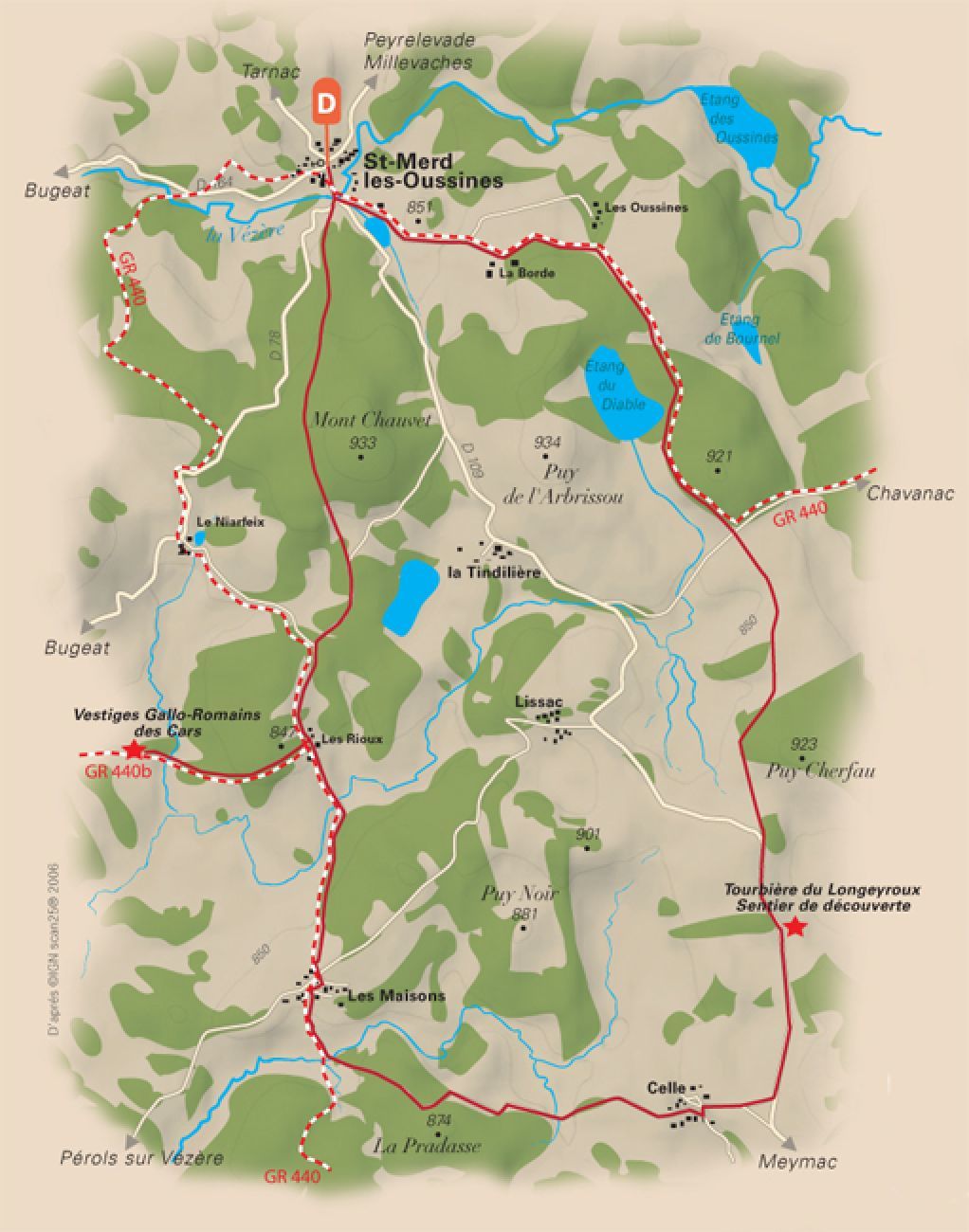
From the Site des Cars to the Longeyroux peat bog

Senderismo

© Unbekannt - Malika Turin / Corrèze Tourisme

- Breve descripción
-
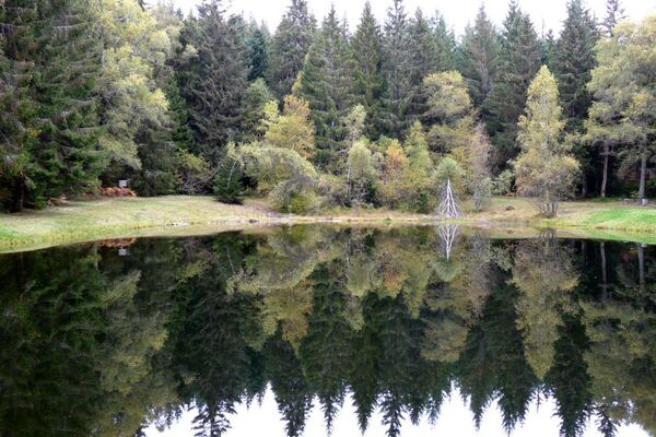
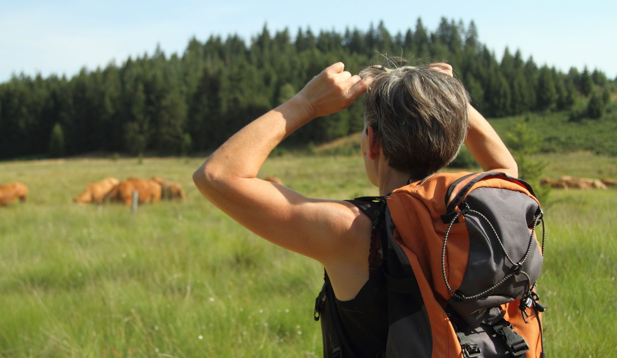
Between moors, towers, meadows, forests and rivers, this circuit is one of the 19 not-to-be-missed routes in Corrèze which take you to the Causse corrézien, the plateau of Millevaches, the Monédières, the gorges and the valley of the Dordogne. You will walk in the footsteps of history in Aubazine, Corrèze, Curemonte, Uzerche, at the Tours de Merle, on the Gallo-Roman site of Les Cars... and enjoy many exceptional viewpoints!
- Dificultad
-
medio
- Valoración
-
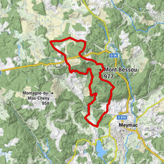
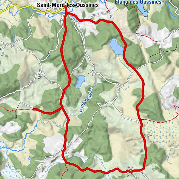
- Ruta
-
Auberge du Mont ChauvetÉglise Saint-MédardSaint-Merd-les-Oussines0,0 kmLe Pont0,2 kmPuy Bramefan2,8 kmLes Rioux5,1 kmLes Maisons6,4 kmCelle9,0 kmLe Pont15,9 kmÉglise Saint-Médard16,0 kmAuberge du Mont Chauvet16,0 kmSaint-Merd-les-Oussines16,0 km
- La mejor temporada
-
enefebmarabrmayjunjulagosepoctnovdic
- Punto álgido
- 910 m
- Punto final
-
Saint-Merd-les-Oussines
- Perfil alto
-
 © outdooractive.com
-

-
AutorLa gira From the Site des Cars to the Longeyroux peat bog es utilizado por outdooractive.com proporcionado.
GPS Downloads


Información general
Clima saludable
Cultural/Histórico
Flora
Fauna
Vistas panorámicas