© Eifel Tourismus GmbH - Dominik Ketz

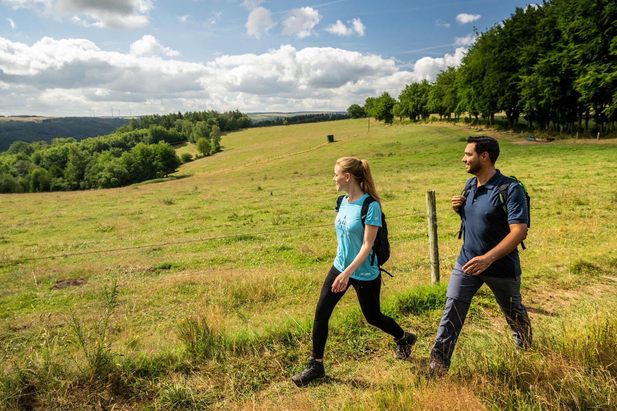
© Eifel Tourismus GmbH - Wandern auf dem Rursee-Höhenweg

© Eifel Tourismus GmbH - Dominik Ketz

© Rursee-Touristik - Sascha Schmitz

© Eifel Tourismus GmbH - Dominik Ketz

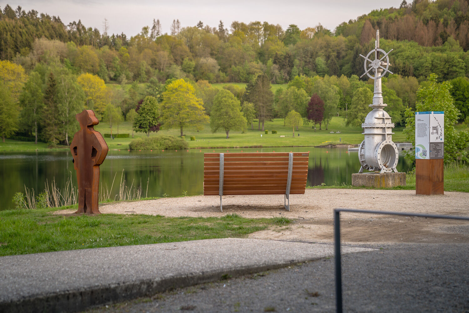
© StädteRegion Aachen - Dominik Ketz
© Rursee-Touristik - Astrid Joraschky
© Gemeinde Simmerath - Anna Lutz
© Eifelverein - Ortsgruppe Rurberg-Woffelsbach e.V. - Kaus Mann

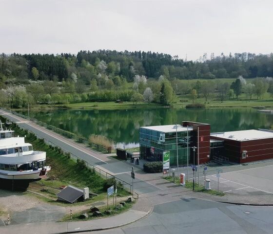
© StädteRegion Aachen - Dominik Ketz

- Breve descripción
-
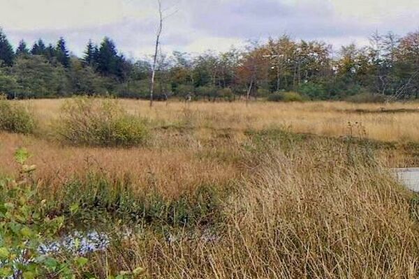
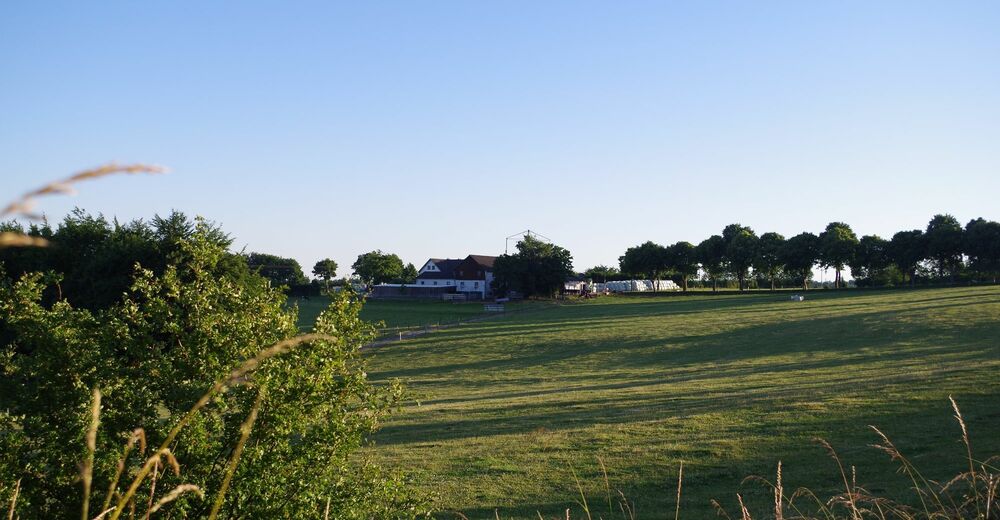
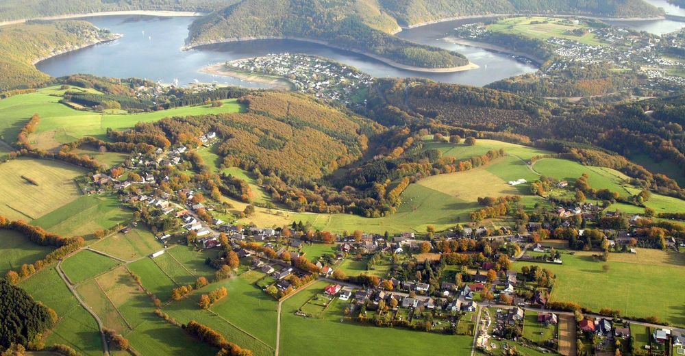
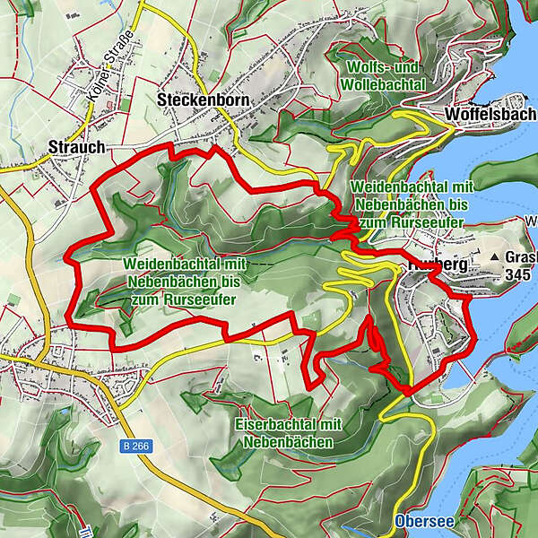
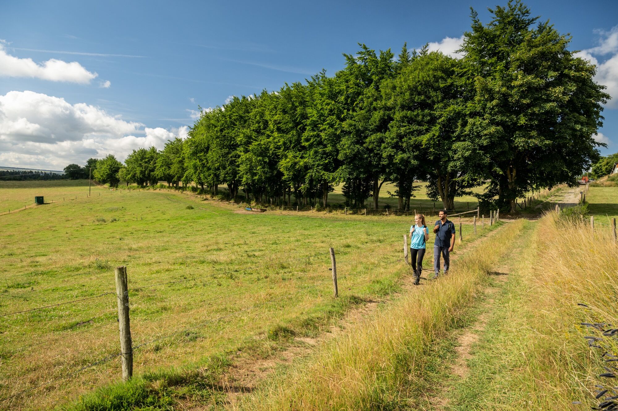
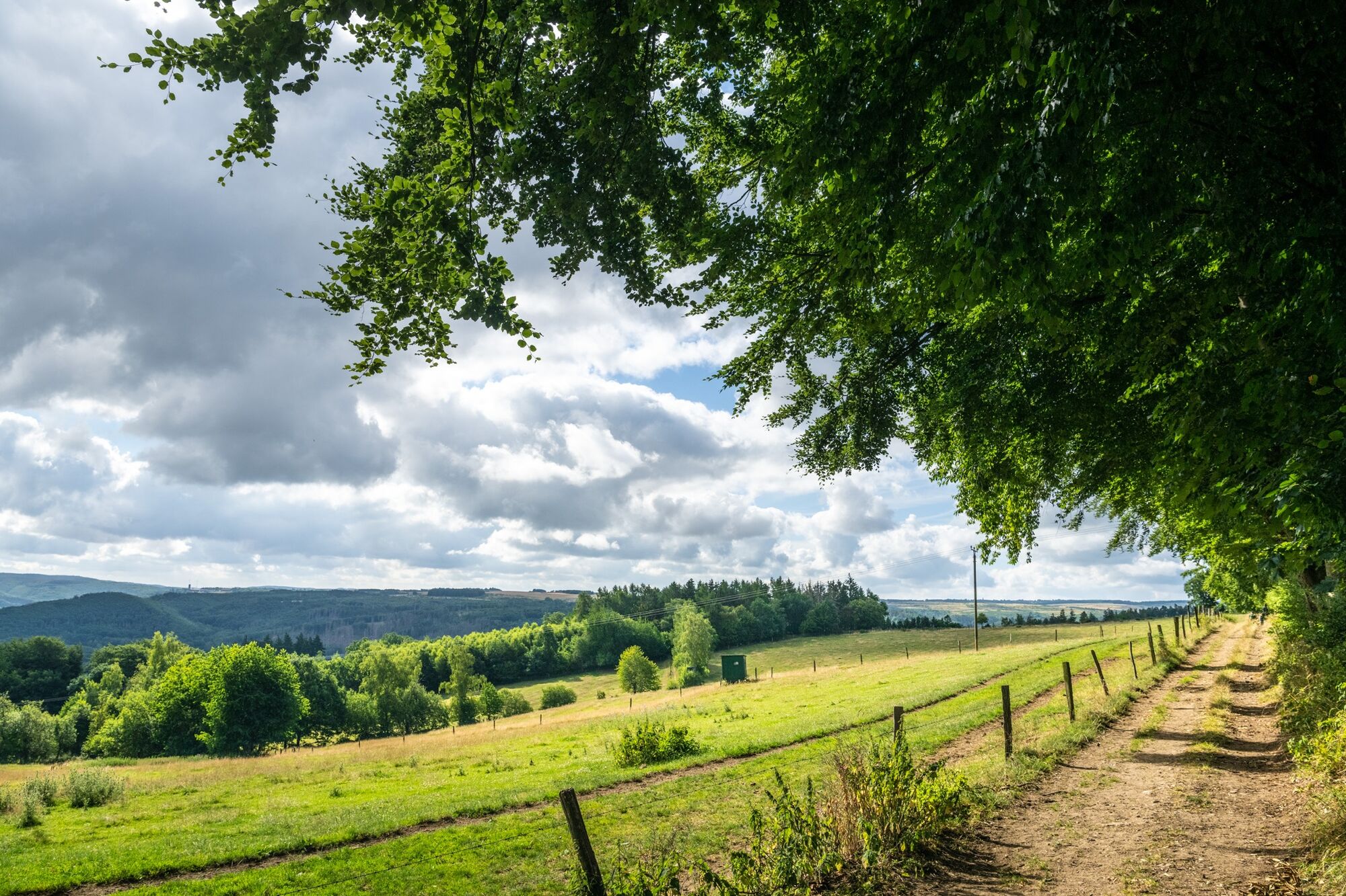
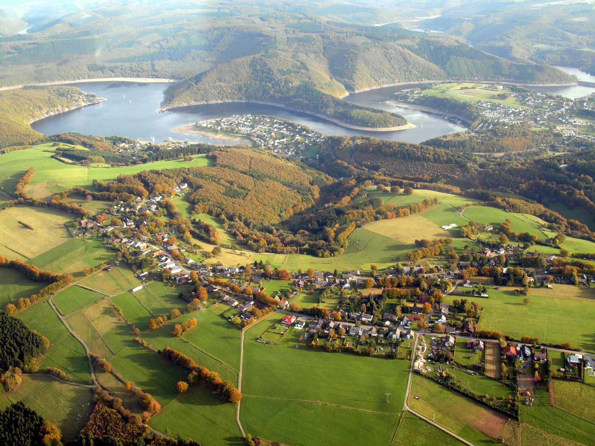
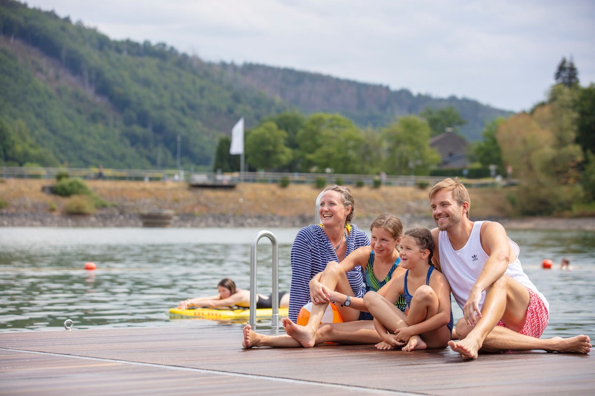
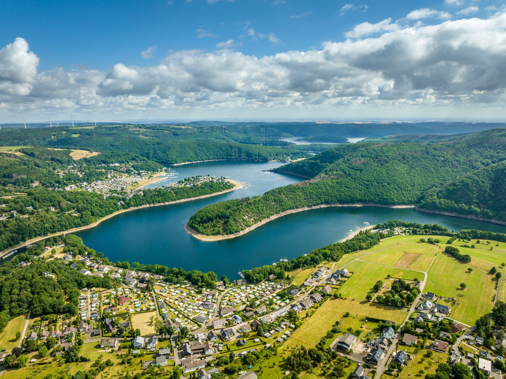
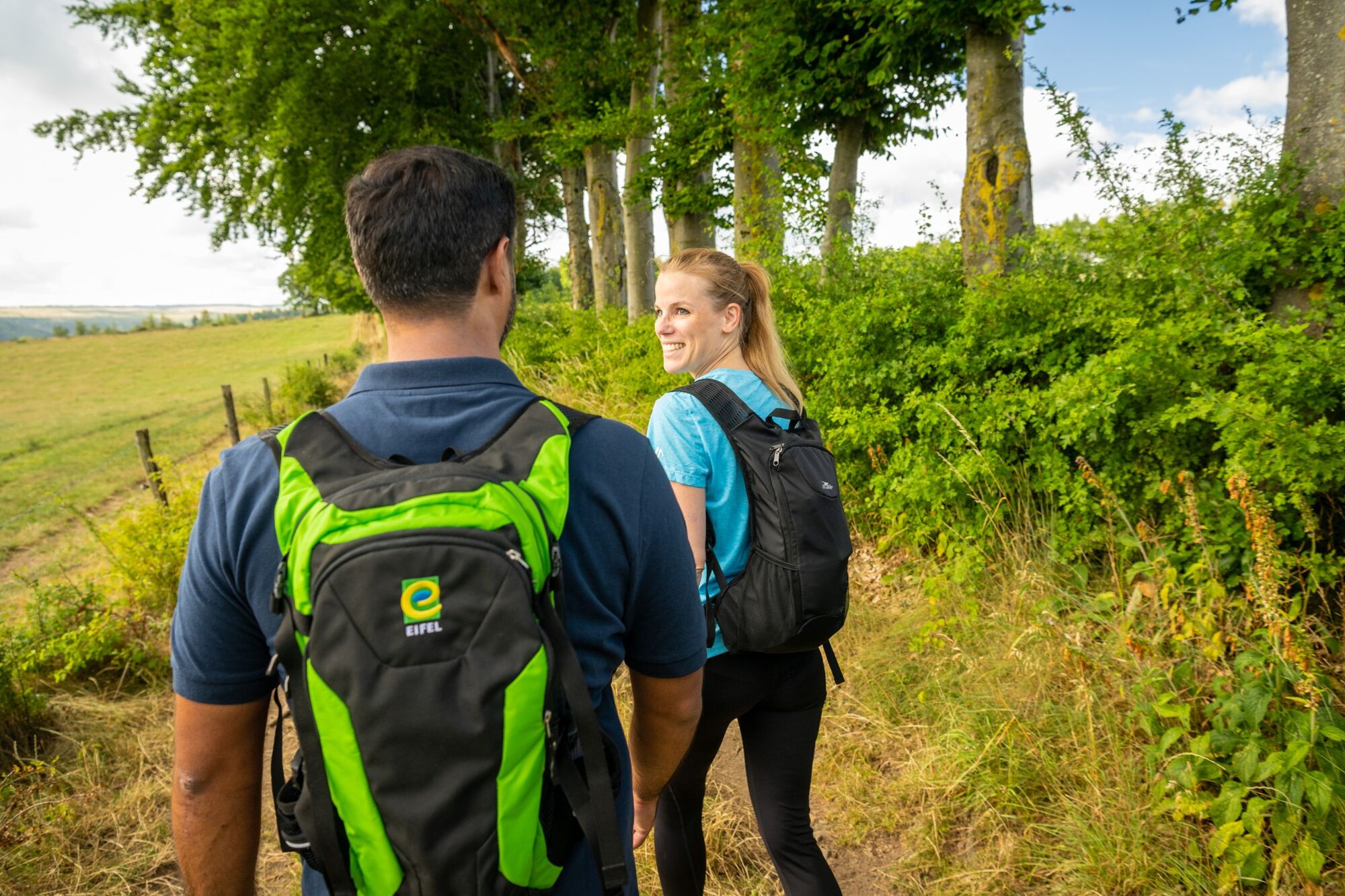
Explore the heights of the Eifel between Rurberg, Kesternich and Steckenborn and experience a fascinating natural landscape on this approx. 14 km long tour starting from Lake Rursee.
- Dificultad
-
medio
- Valoración
-
- Ruta
-
Jüddekuhl6,4 kmStrauch8,3 kmIn der Birk8,9 kmSteckenborn9,4 kmop er Diejelsheck9,8 kmer Kier10,7 kmSt. Barbara12,8 kmRurberg12,9 kmPaulushof14,0 km
- La mejor temporada
-
enefebmarabrmayjunjulagosepoctnovdic
- Punto álgido
- 535 m
- Punto final
-
Rurberg National Park Gate
- Perfil alto
-
 © outdooractive.com


- Autor
-
La gira Rursee-Altitude-Way es utilizado por outdooractive.com proporcionado.
GPS Downloads


Información general
Flora
Fauna
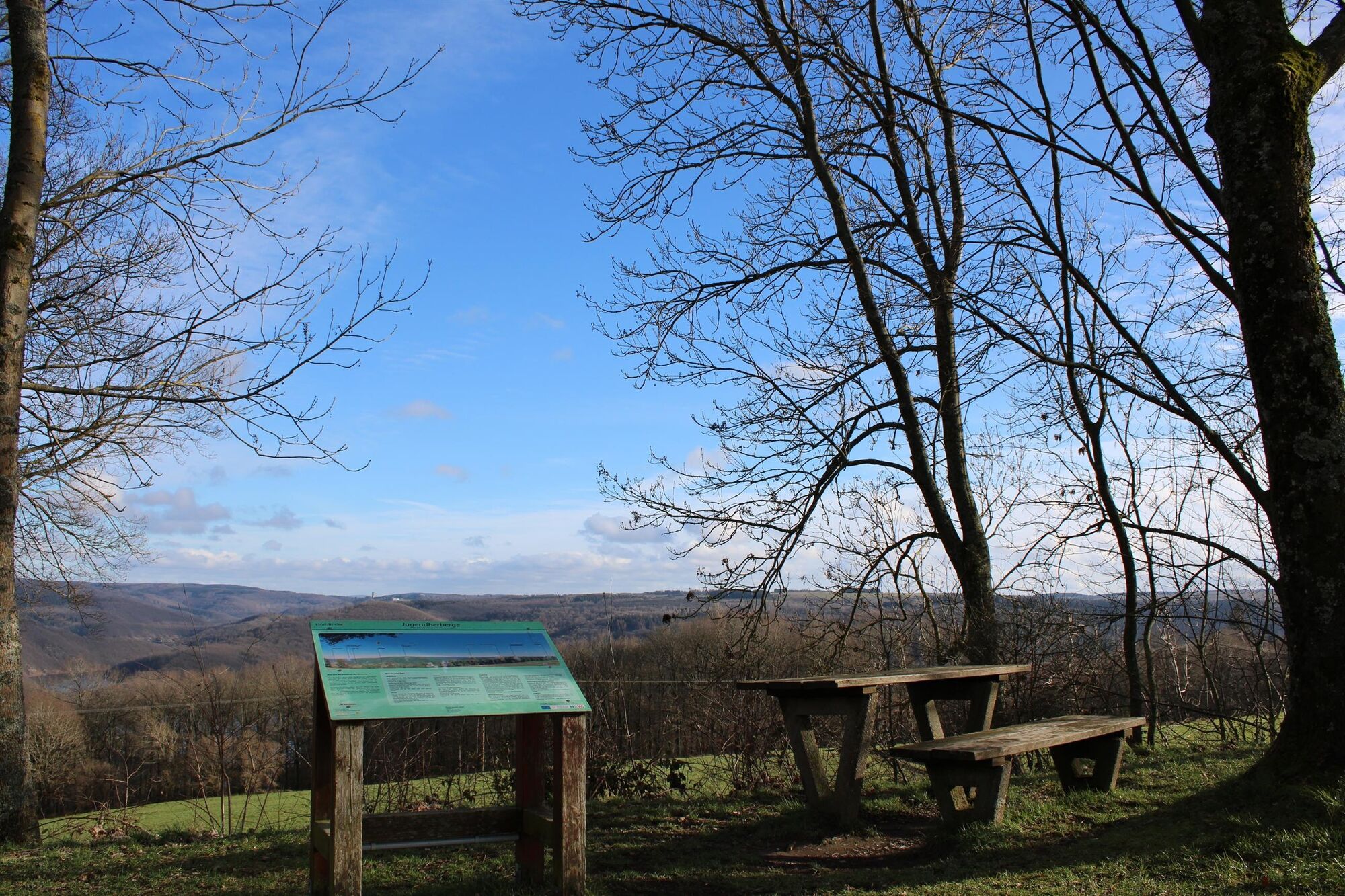
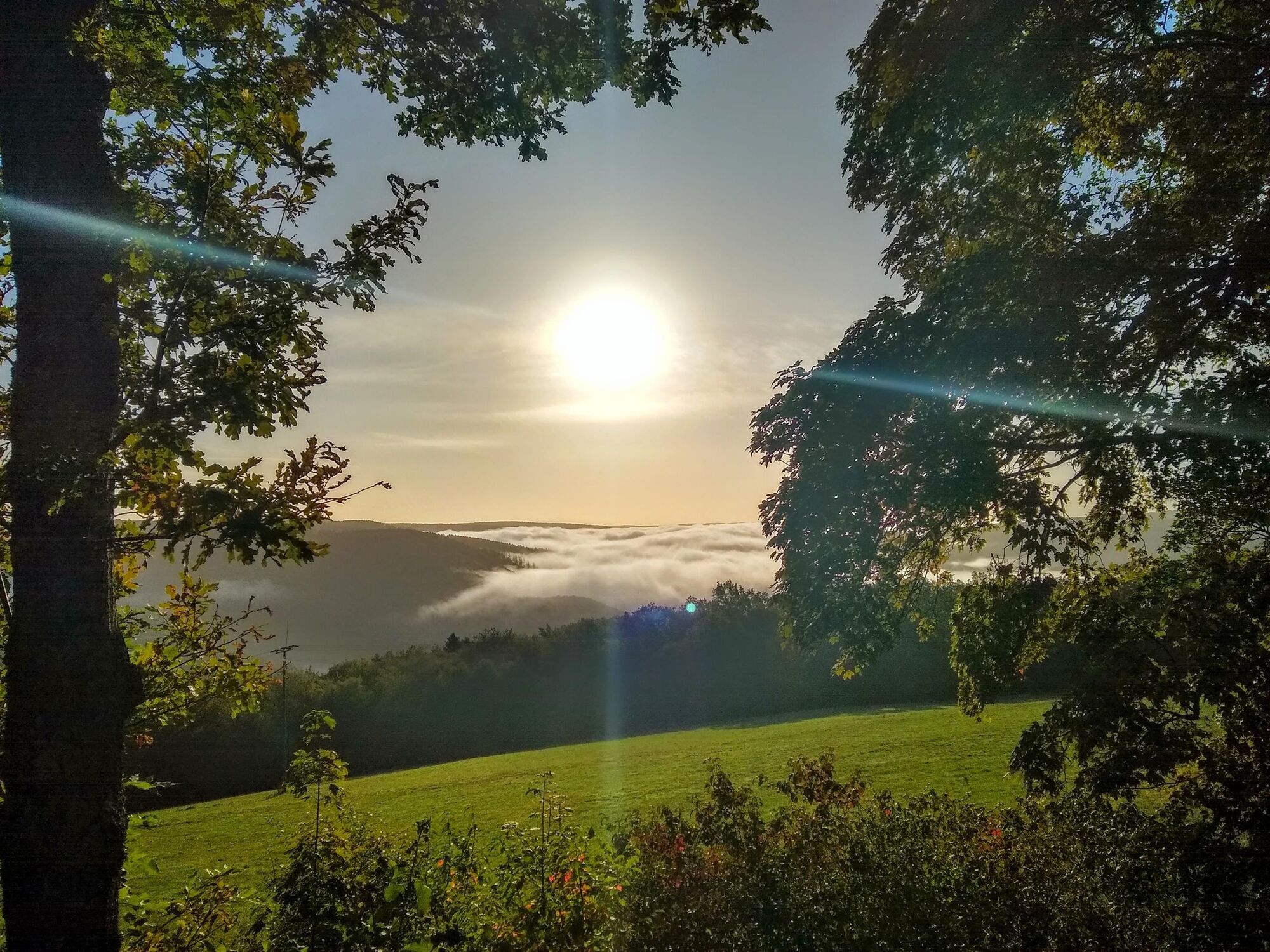
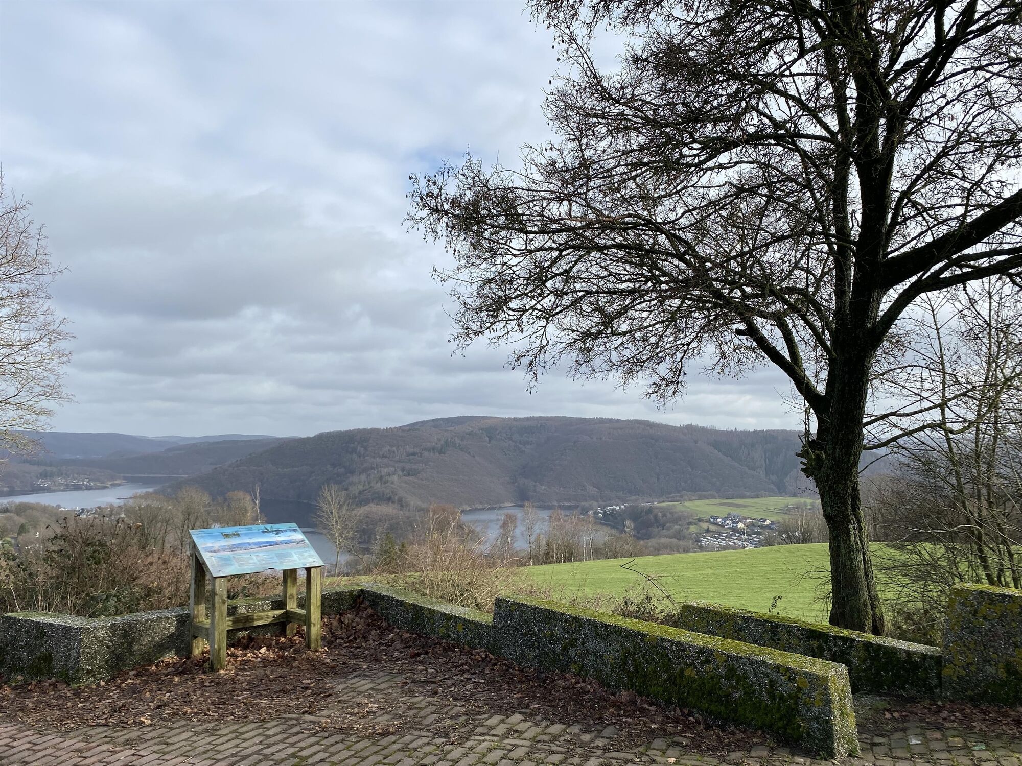
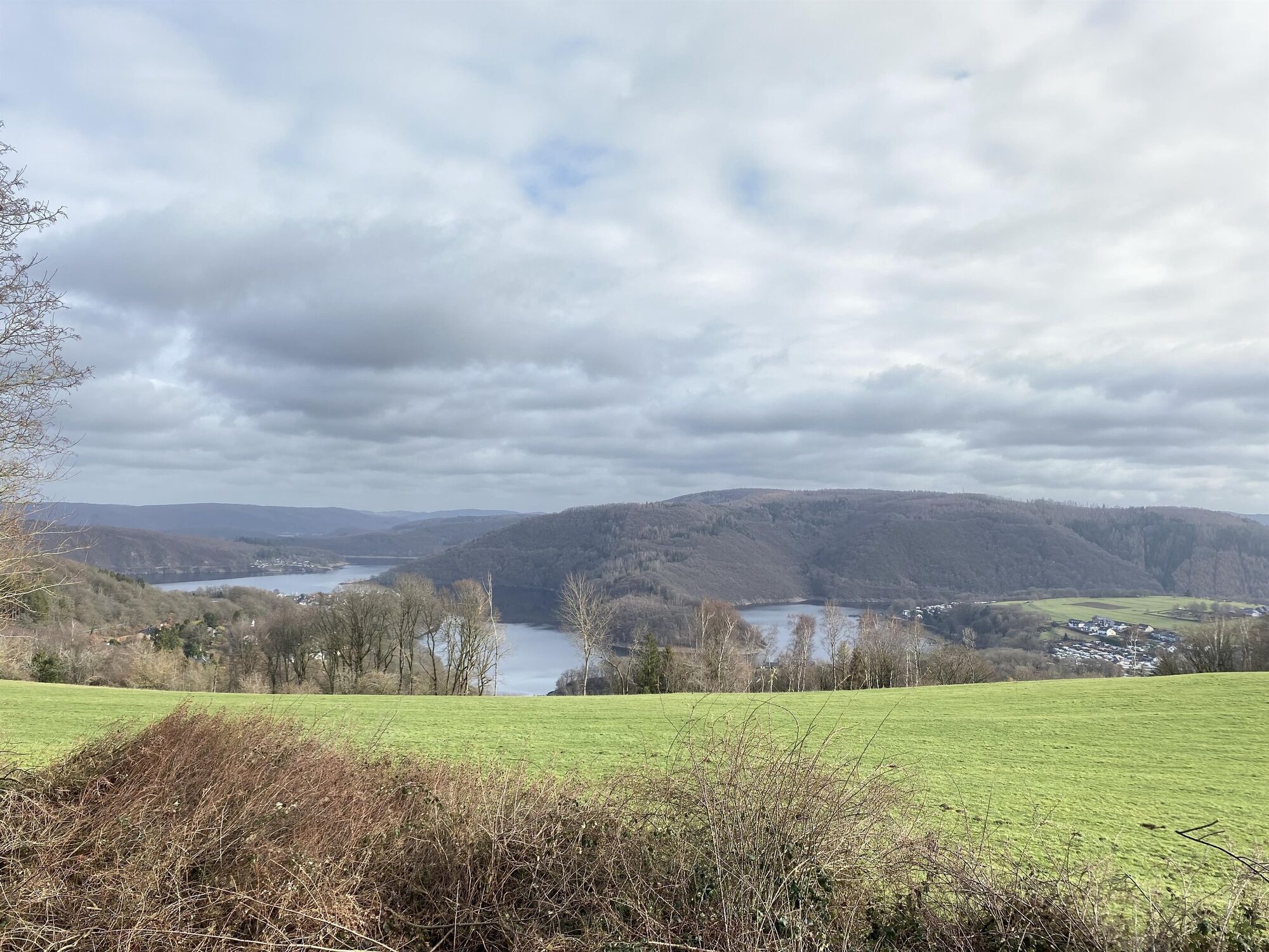
Vistas panorámicas
Más circuitos por las regiones
-
Eifel & Aachen
1426
-
Nordeifel
836
-
Simmerath-Rurberg
447