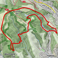
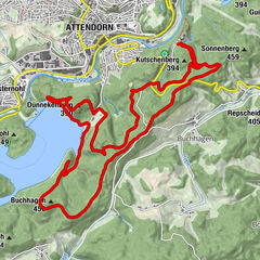
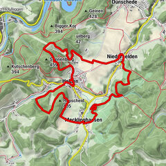
Grubengelände Littfeld- Former quarry area east of Kreuztal-Littfeld

Senderismo

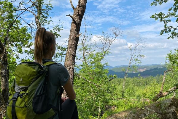
© Unbekannt - Ursula Siebel

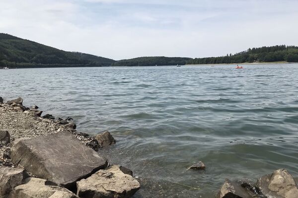
© Sauerland-Tourismus e.V. - Natalia Jaworski

- Breve descripción
-
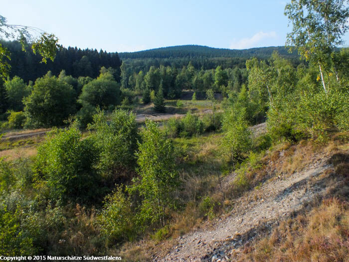
Only a few plant species can tolerate a high metal content in the soil. Such survivalists flourish at the former mining area near Littfeld. Here, centuries of iron ore mining took place.
- Dificultad
-
medio
- Valoración
-
- Ruta
-
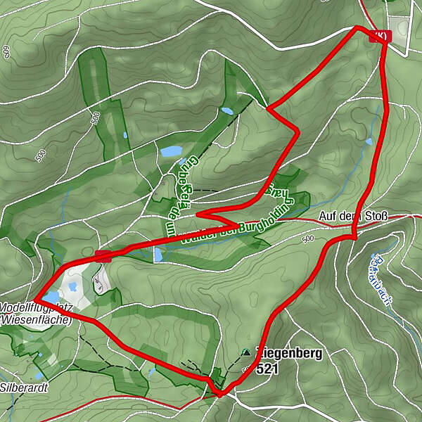
Ziegenberg (521 m)0,3 kmAuf dem Stoß1,3 km
- La mejor temporada
-
enefebmarabrmayjunjulagosepoctnovdic
- Punto álgido
- 541 m
- Punto final
-
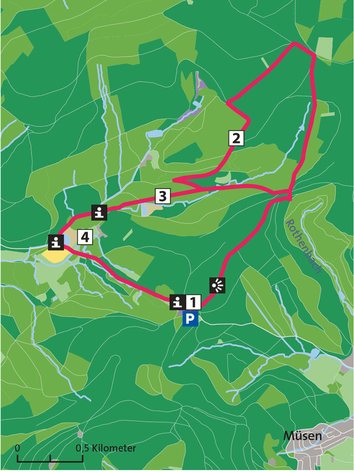
Hiking car park on the Altenberg between Müsen and Littfeld
- Perfil alto
-
 © outdooractive.com
- Autor
-
La gira Grubengelände Littfeld- Former quarry area east of Kreuztal-Littfeld es utilizado por outdooractive.com proporcionado.
GPS Downloads


Información general
Cultural/Histórico
Flora
Más circuitos por las regiones