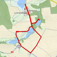
ZWalk - Pretrobruck - Von Pretrobruck zum Höllfall

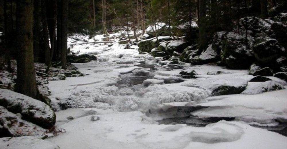
Senderismo de invierno
© ZWalk.at
© ZWalk.at
© ZWalk.at
Datos del tour
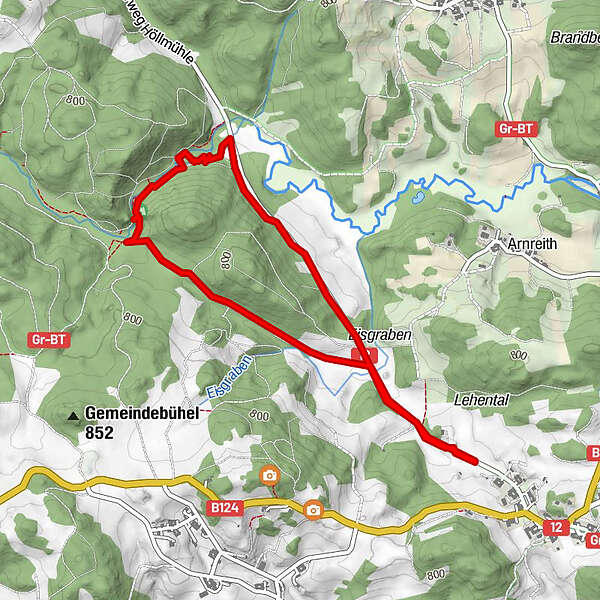
4,52km
721
- 777m
56hm
01:30h
- Breve descripción
-
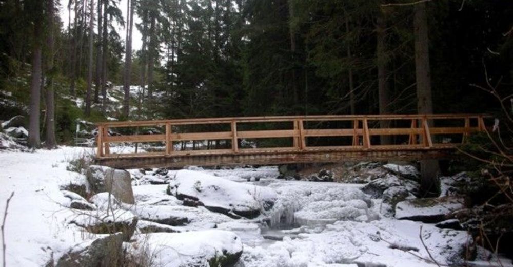
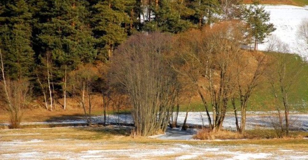
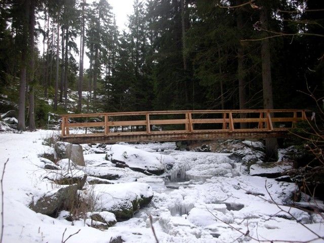
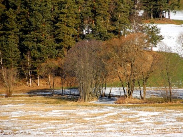
Die Tour führt durch eine typische, leicht hügelige Waldviertler Landschaft. Es geht durch Felder, Wiesen und Wälder, die sich ständig abwechseln.
- Dificultad
-
fácil
- Valoración
-
- Punto de salida
-
Pretrobruck
- Ruta
-
Hoch Holzfeld0,3 kmSchlupfstein2,3 kmHoch Holzfeld4,0 km
- Punto álgido
- 777 m

- Fuente
- ZWalk
GPS Downloads


Más circuitos por las regiones
-
Waldviertel
28
-
Südliches Waldviertel
16
-
Altmelon
15