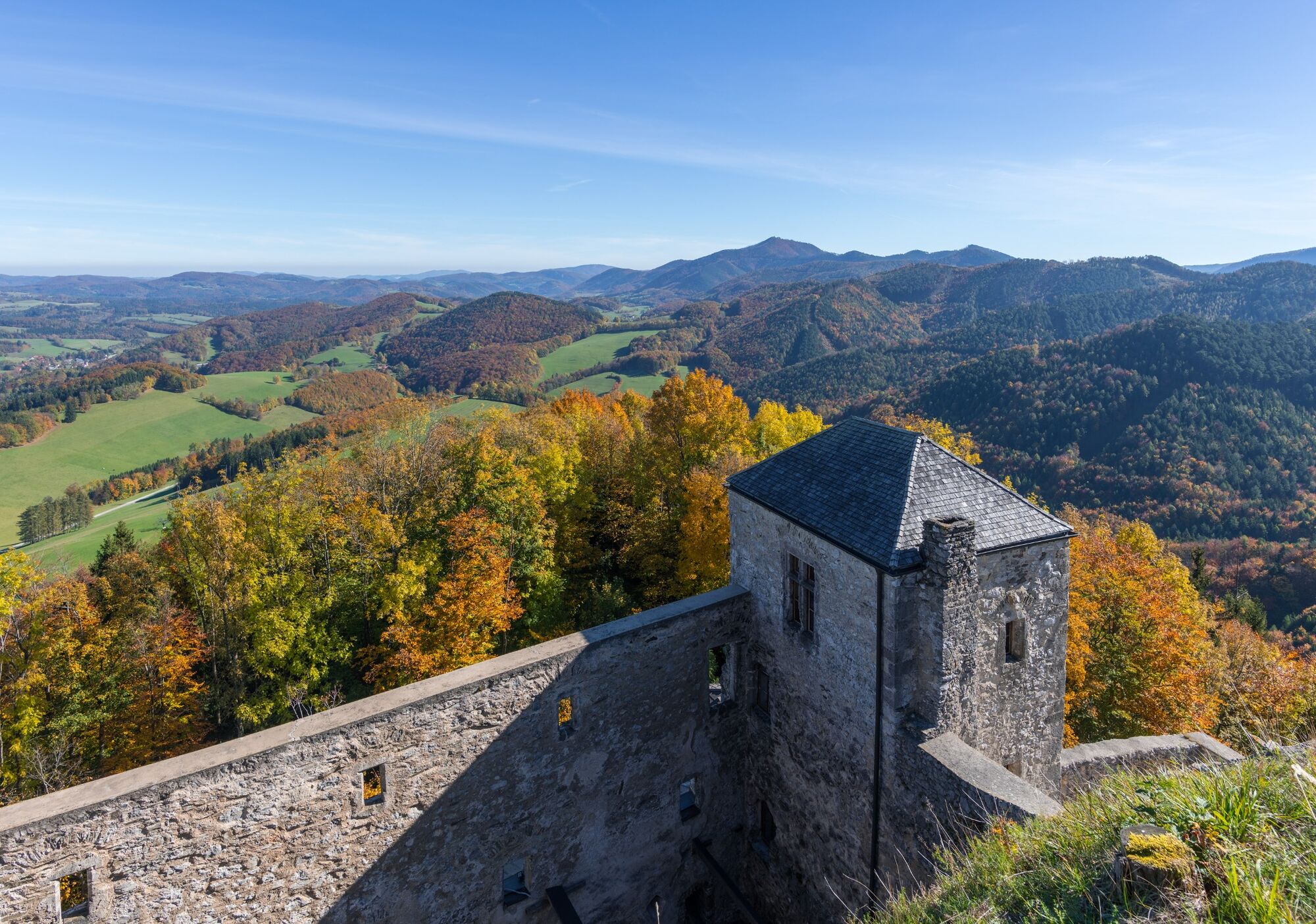
© Unbekannt - Christian Handl

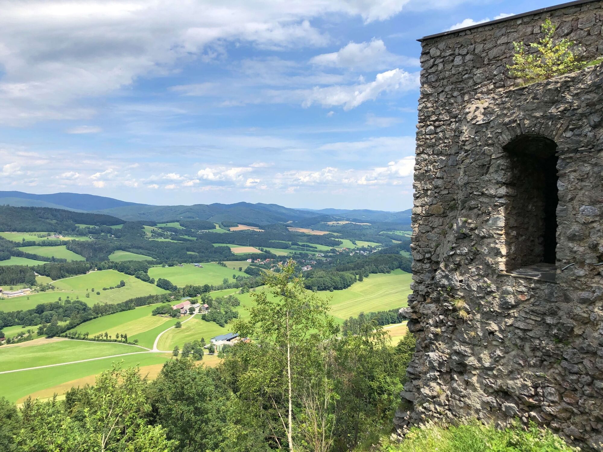
© Wienerwald Tourismus GmbH / Andreas Hofer

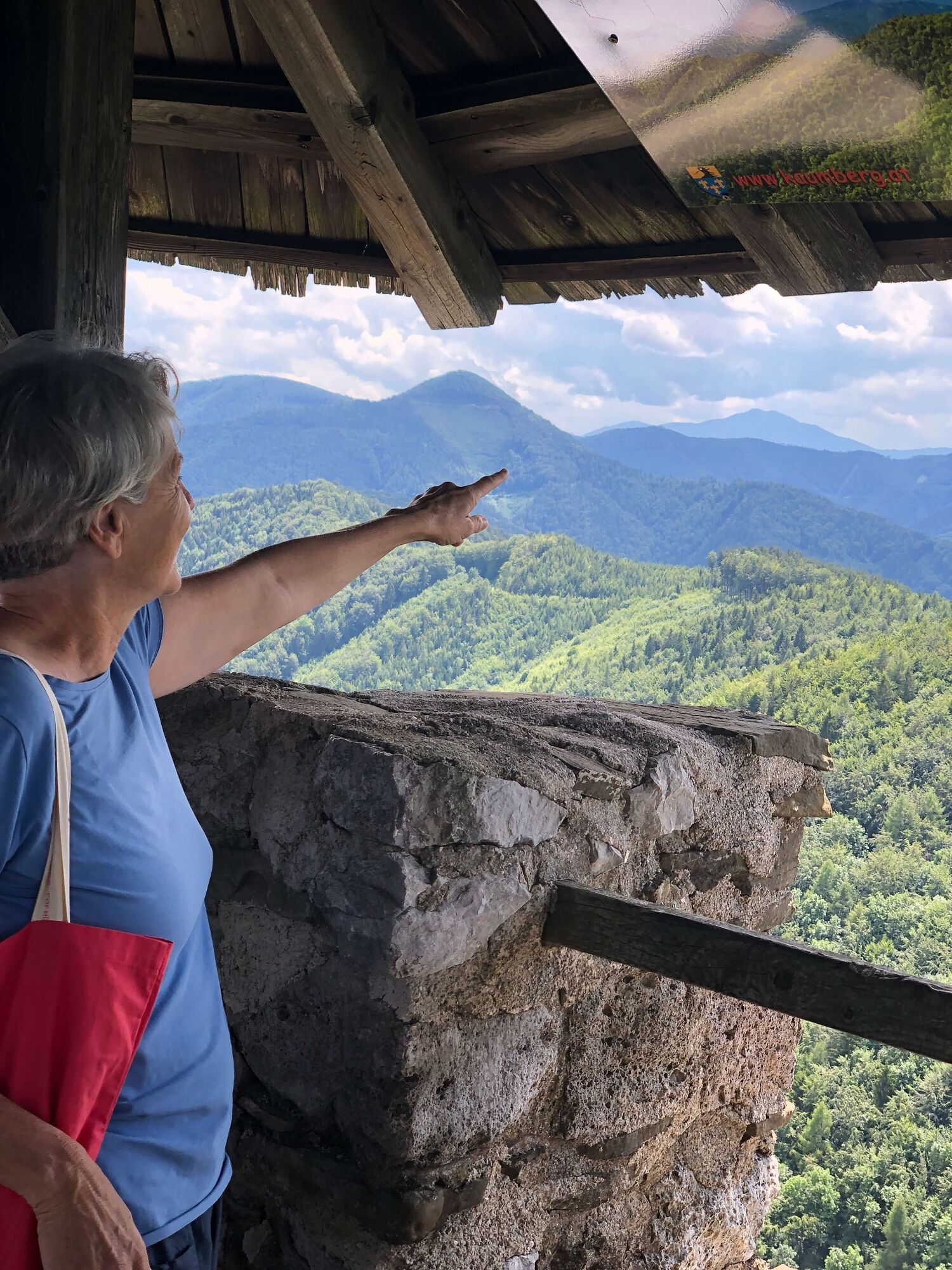
© Unbekannt - Wienerwald Tourismus

© Unbekannt - Wienerwald Tourismus
- Breve descripción
-
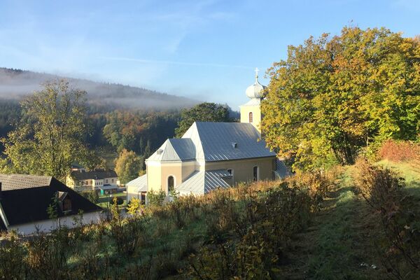
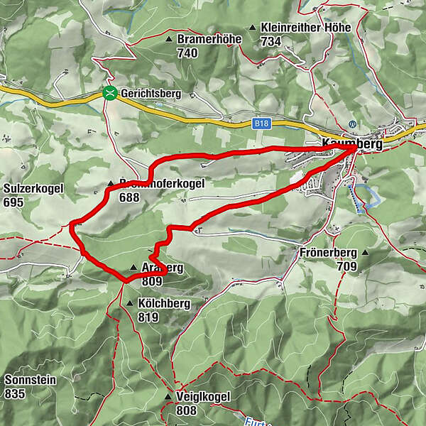
Kaumberg is the westernmost district in Triestingtal. It is situated just before the Gerichtsberg, which marks the border between Triestingtal and Gölsental. The difference between the rolling hills of the Vienna Woods and the foothills of the Alps is already clearly visible. Short hikes through the hilly landscapes to the north and east of the town of Kaumberg are possible.
- Dificultad
-
fácil
- Valoración
-
- Ruta
-
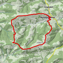
Zum schwarzen BärenKaumberg0,0 kmKirchenwirt0,0 kmBurgstüberl Araburg3,3 kmBrennhoferkogel (688 m)5,5 kmKaumberg8,5 kmKirchenwirt8,6 kmZum schwarzen Bären8,6 km
- La mejor temporada
-
enefebmarabrmayjunjulagosepoctnovdic
- Punto álgido
- 780 m
- Punto final
-
Kaumberg, Marktplatz
- Perfil alto
-


- Autor
-
La gira Circular route to Araburg es utilizado por outdooractive.com proporcionado.
GPS Downloads


Información general
Punto de avituallamiento
Cultural/Histórico
Vistas panorámicas
Más circuitos por las regiones
-
Wienerwald
4219
-
Elsbeere-Wienerwald
1218
-
Kaumberg
466