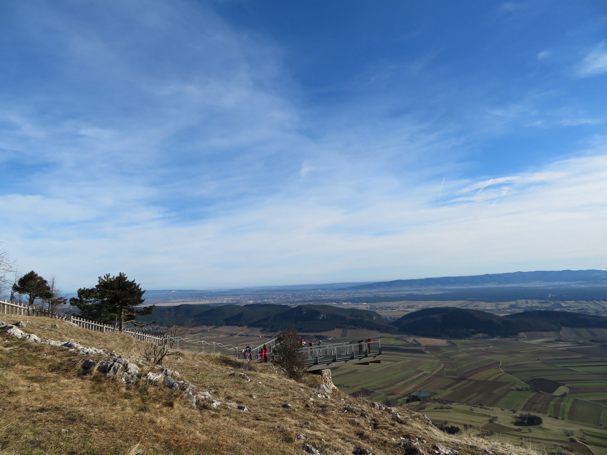
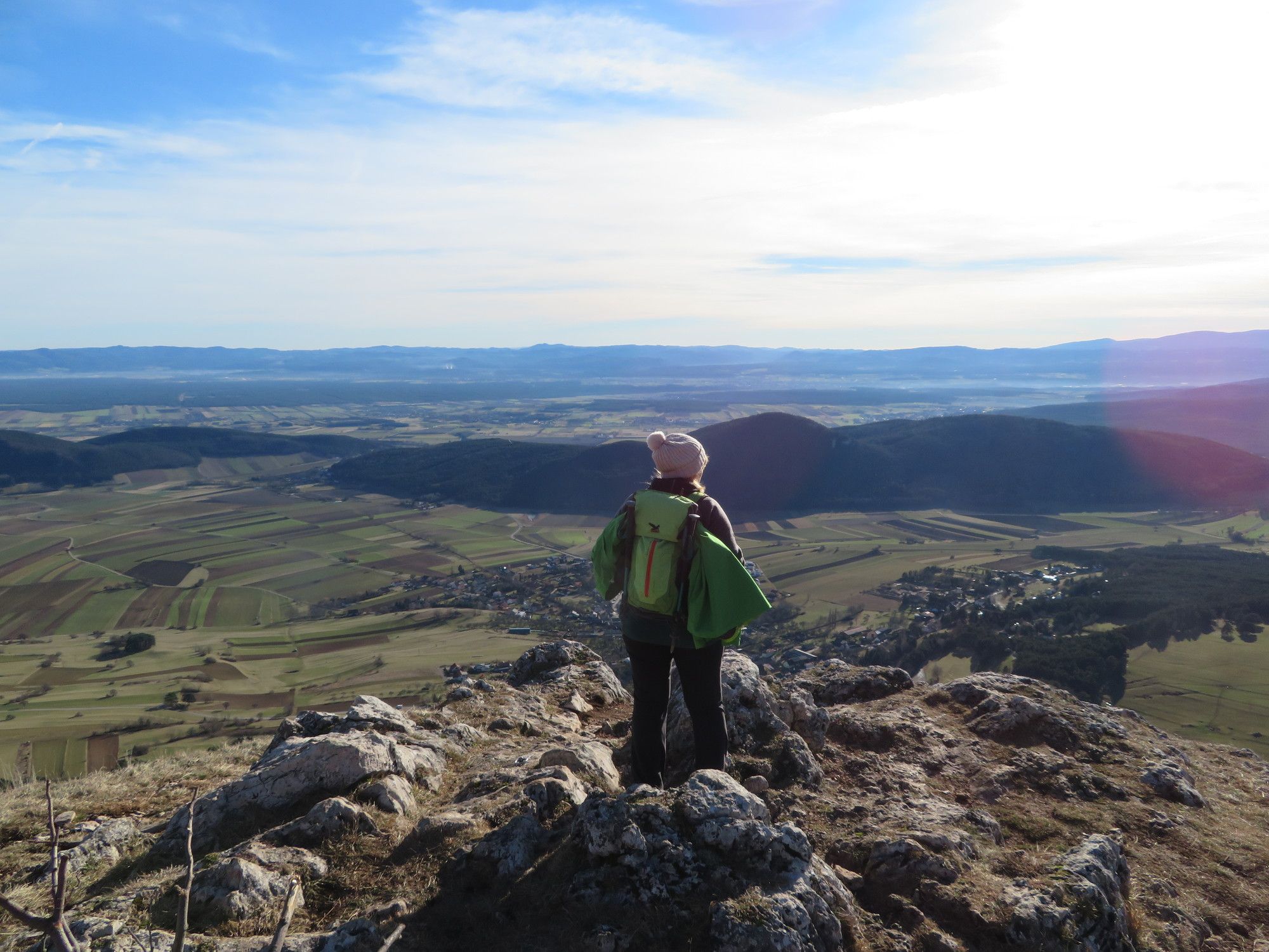
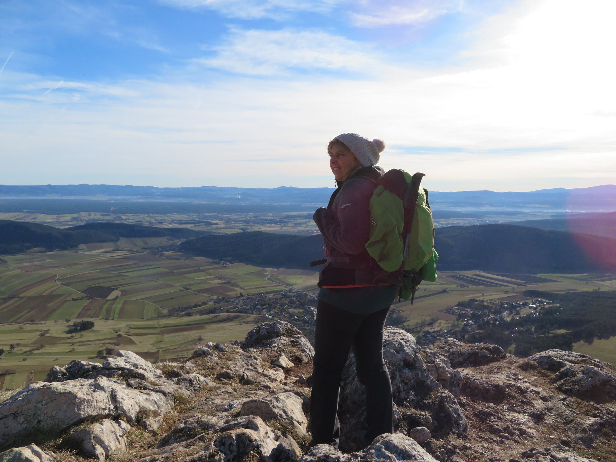
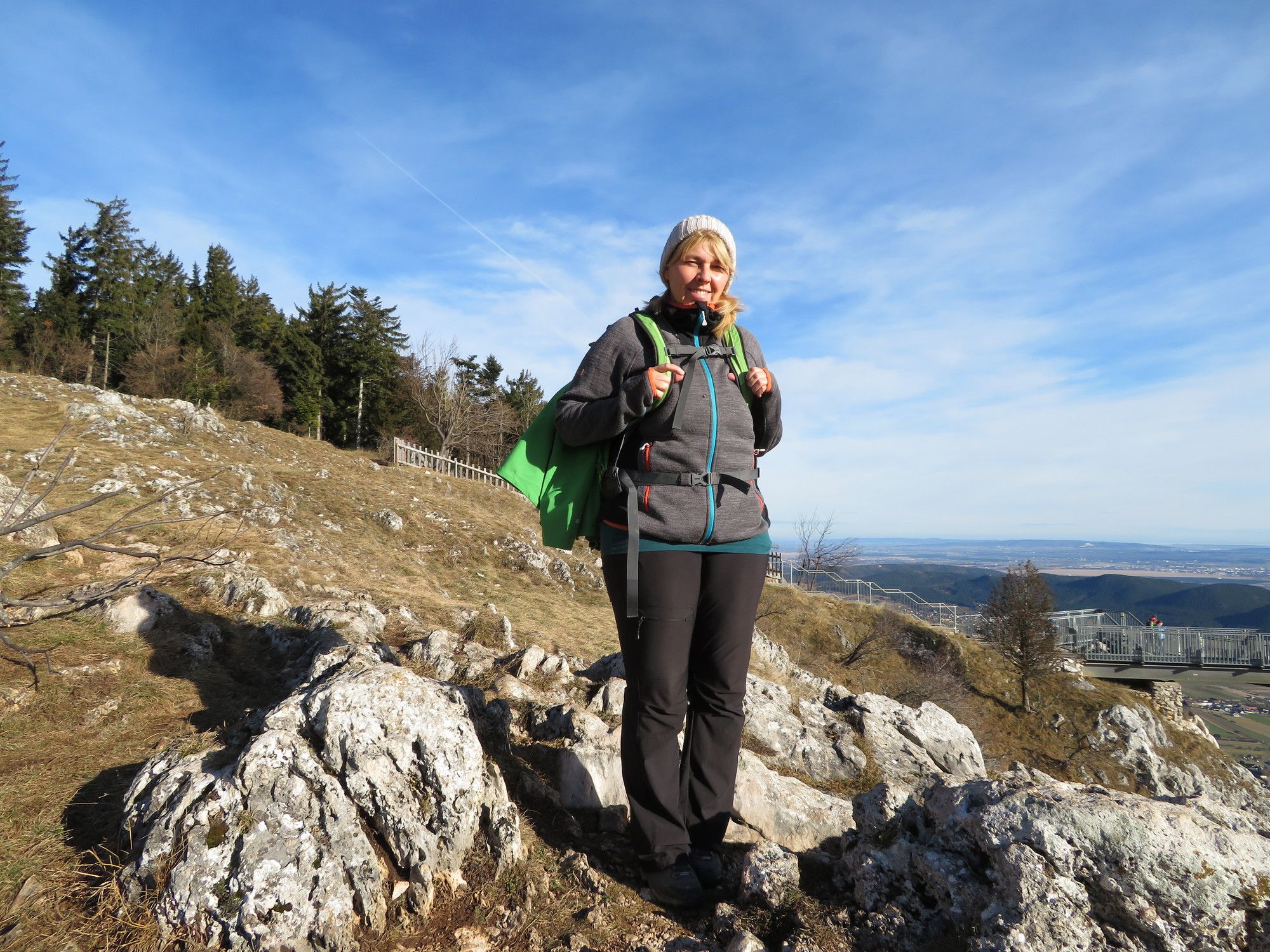
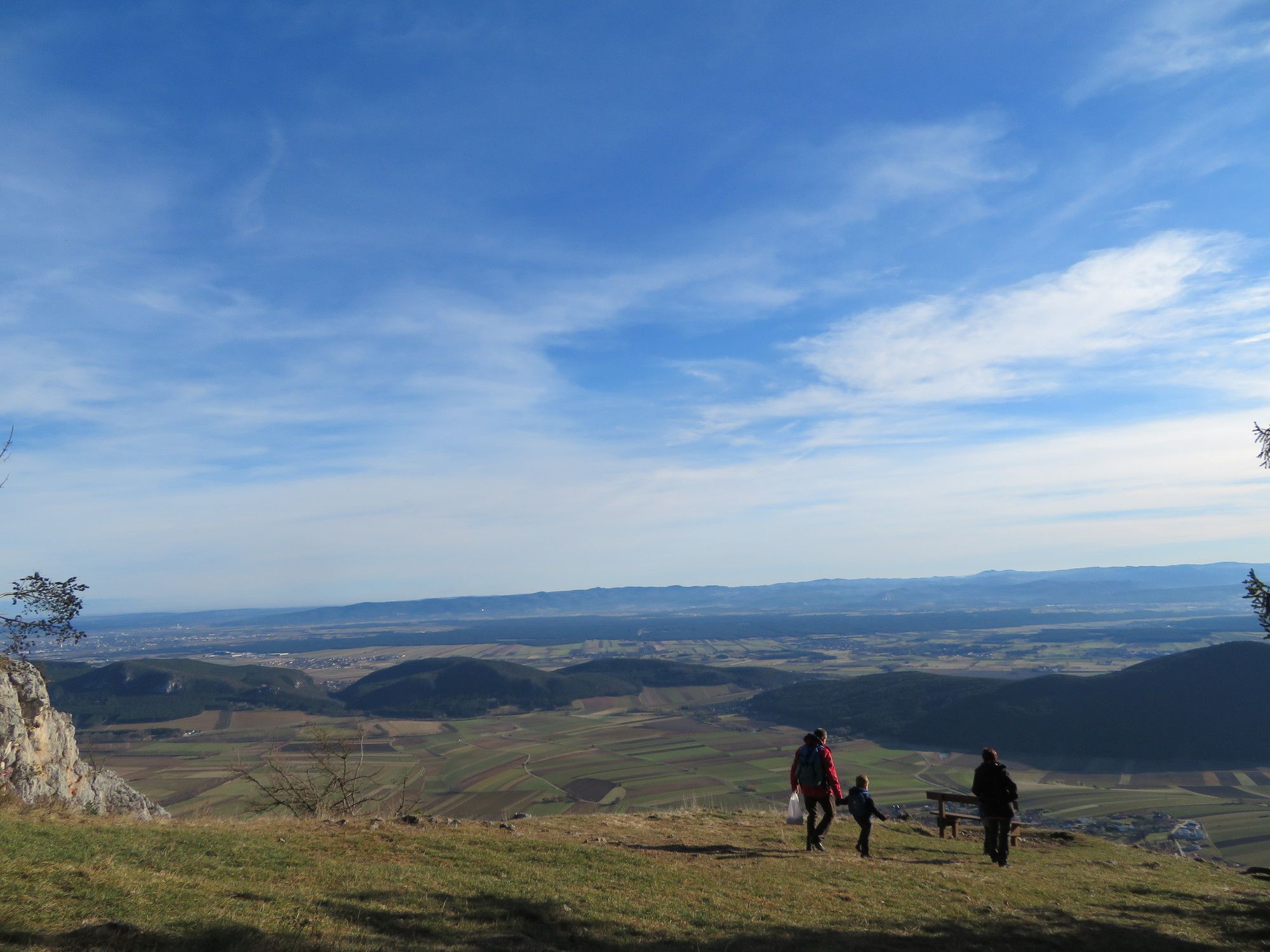
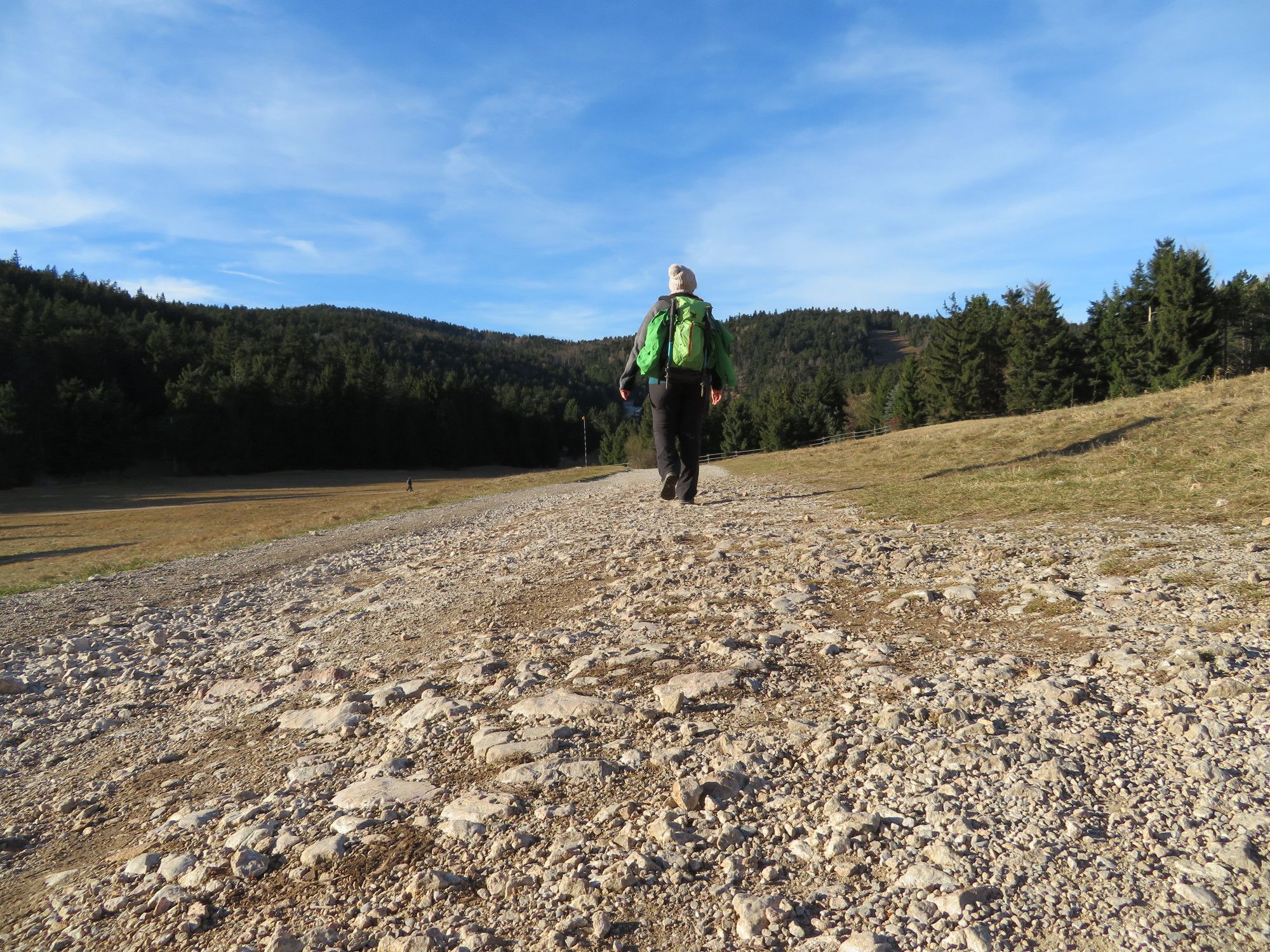
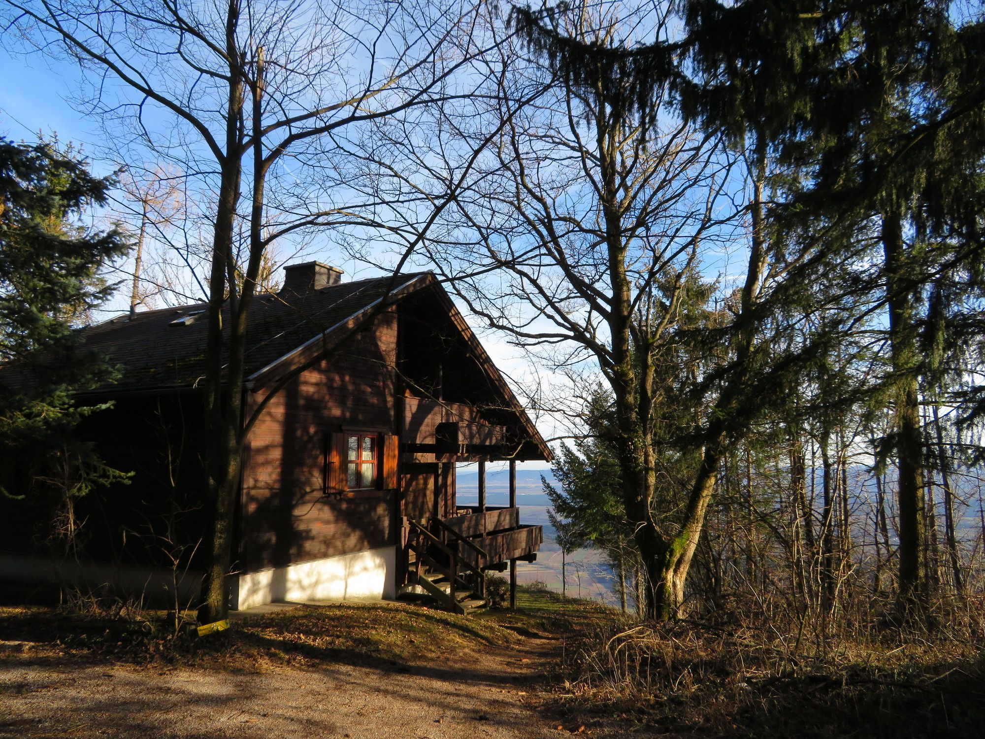
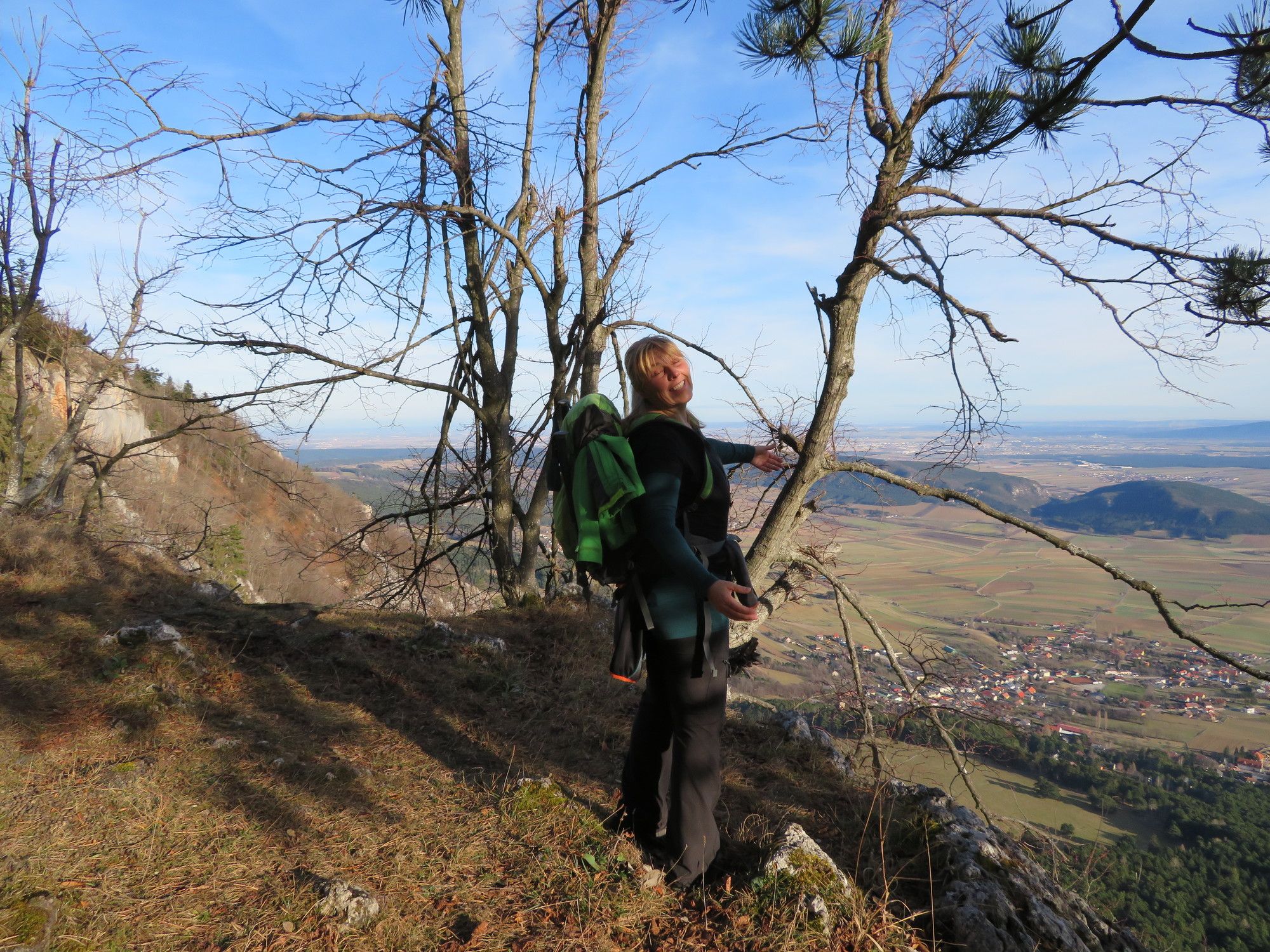
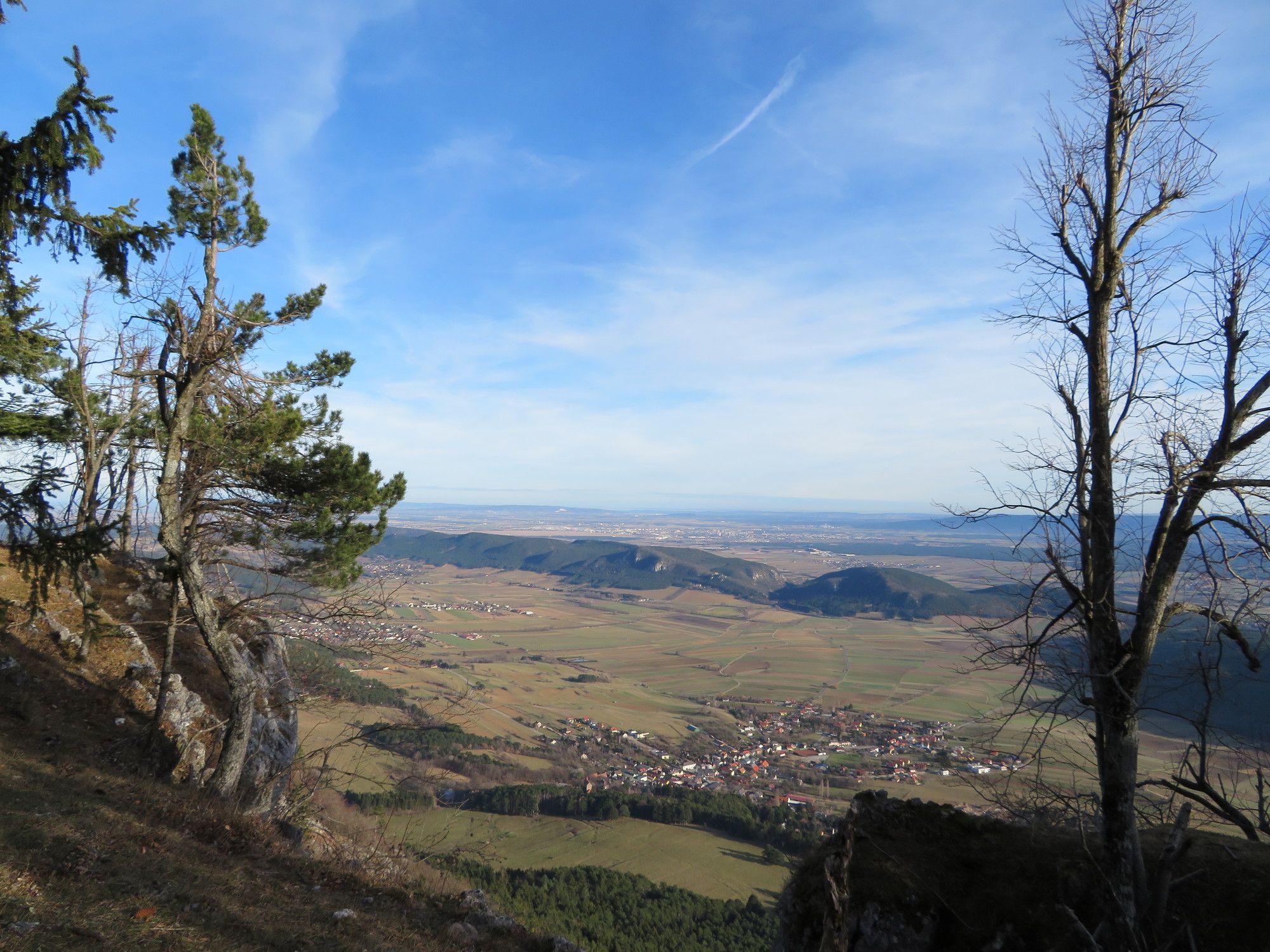
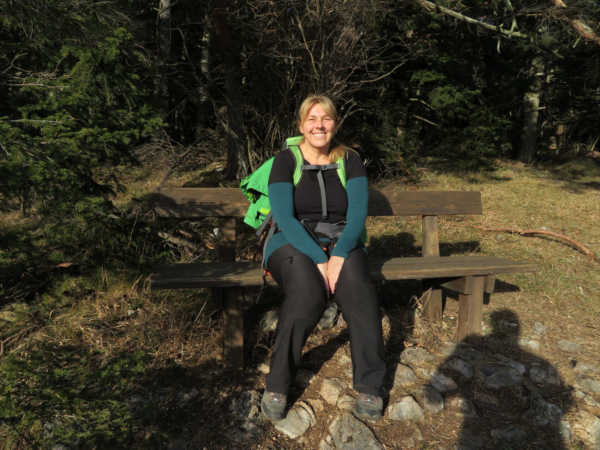
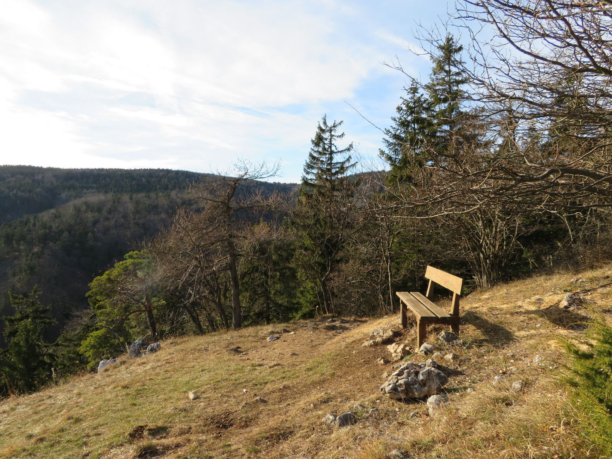
Hohe Wand: Sonne tanken auf der Hohen Wand

Senderismo

© gert gasperin

© gert gasperin

© gert gasperin

© gert gasperin

© gert gasperin

© gert gasperin

© gert gasperin

© gert gasperin

© gert gasperin

© gert gasperin
Datos del tour
3,33km
850
- 945m
213hm
213hm
03:00h
- Dificultad
-
fácil
- Valoración
-
- Ruta
-
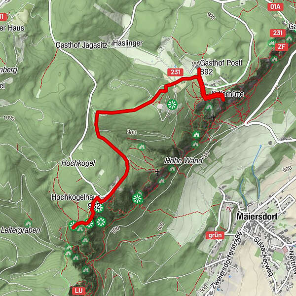
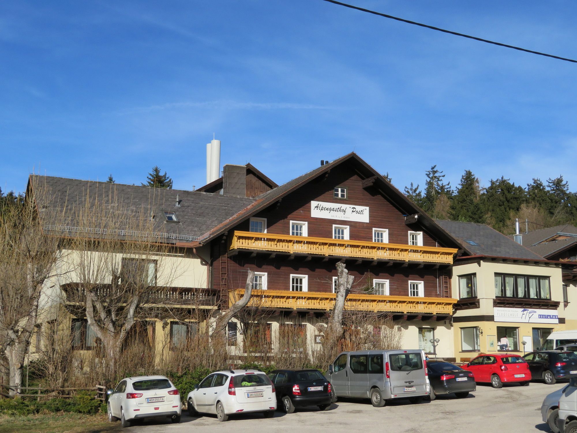
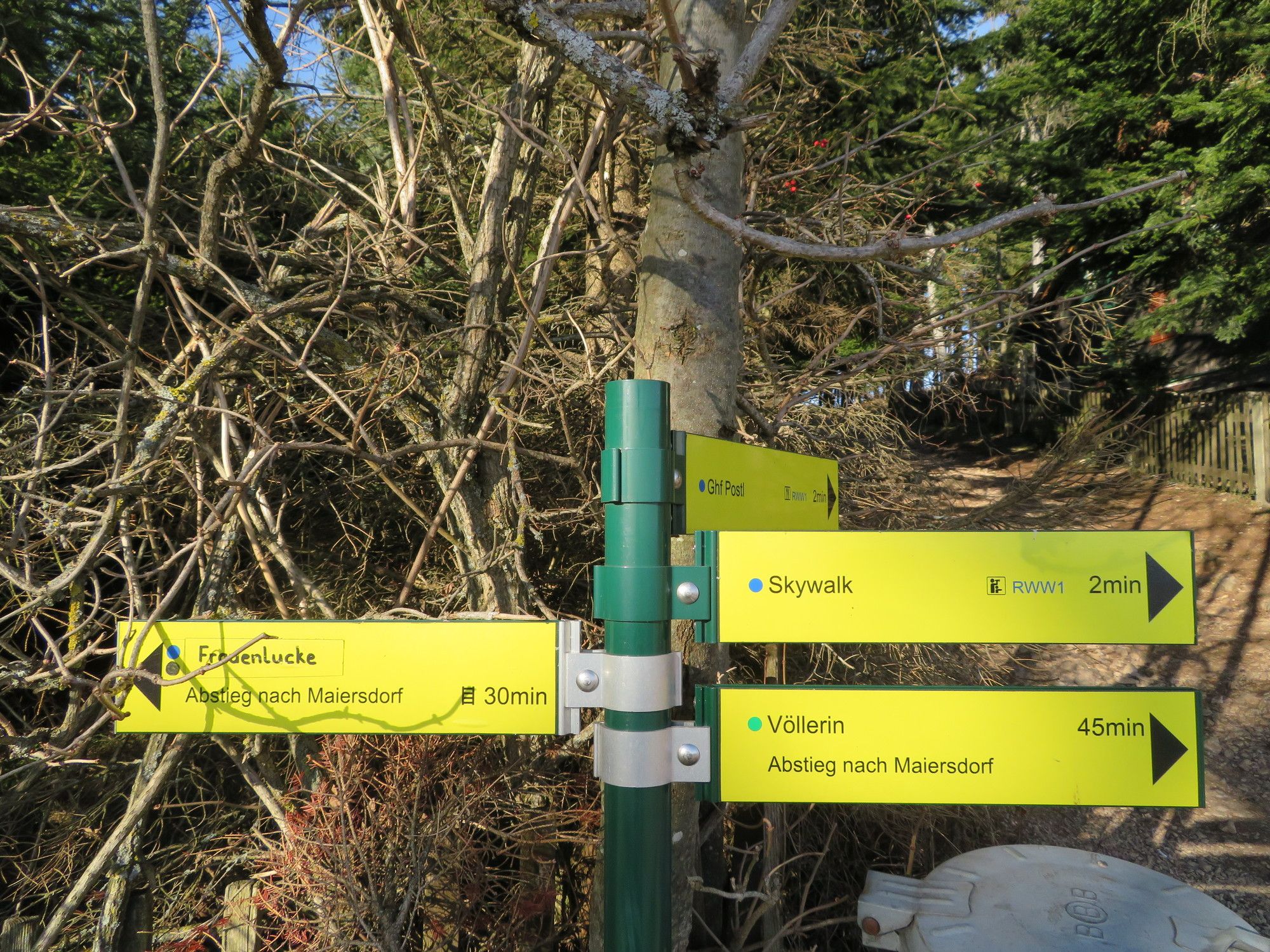
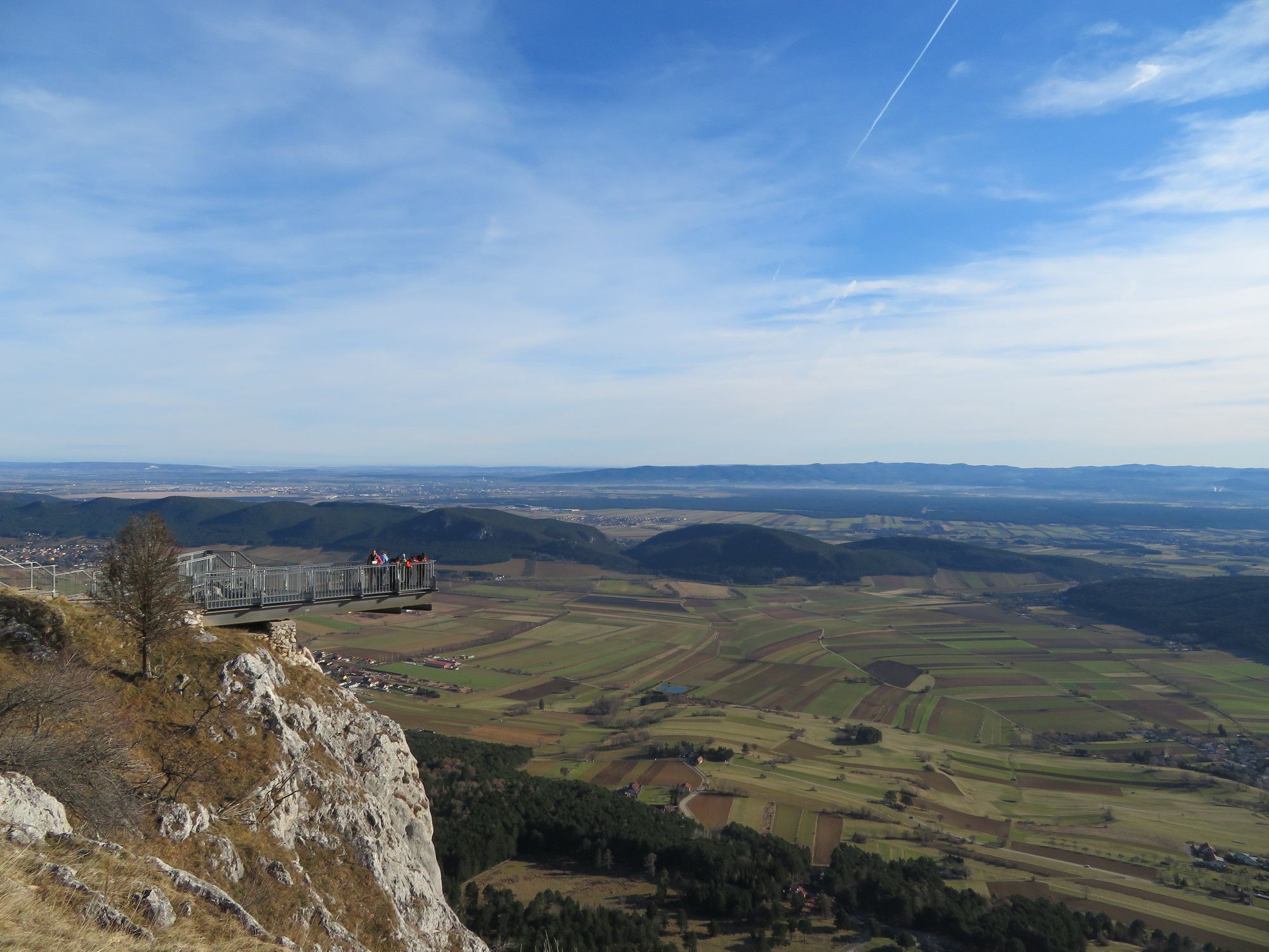
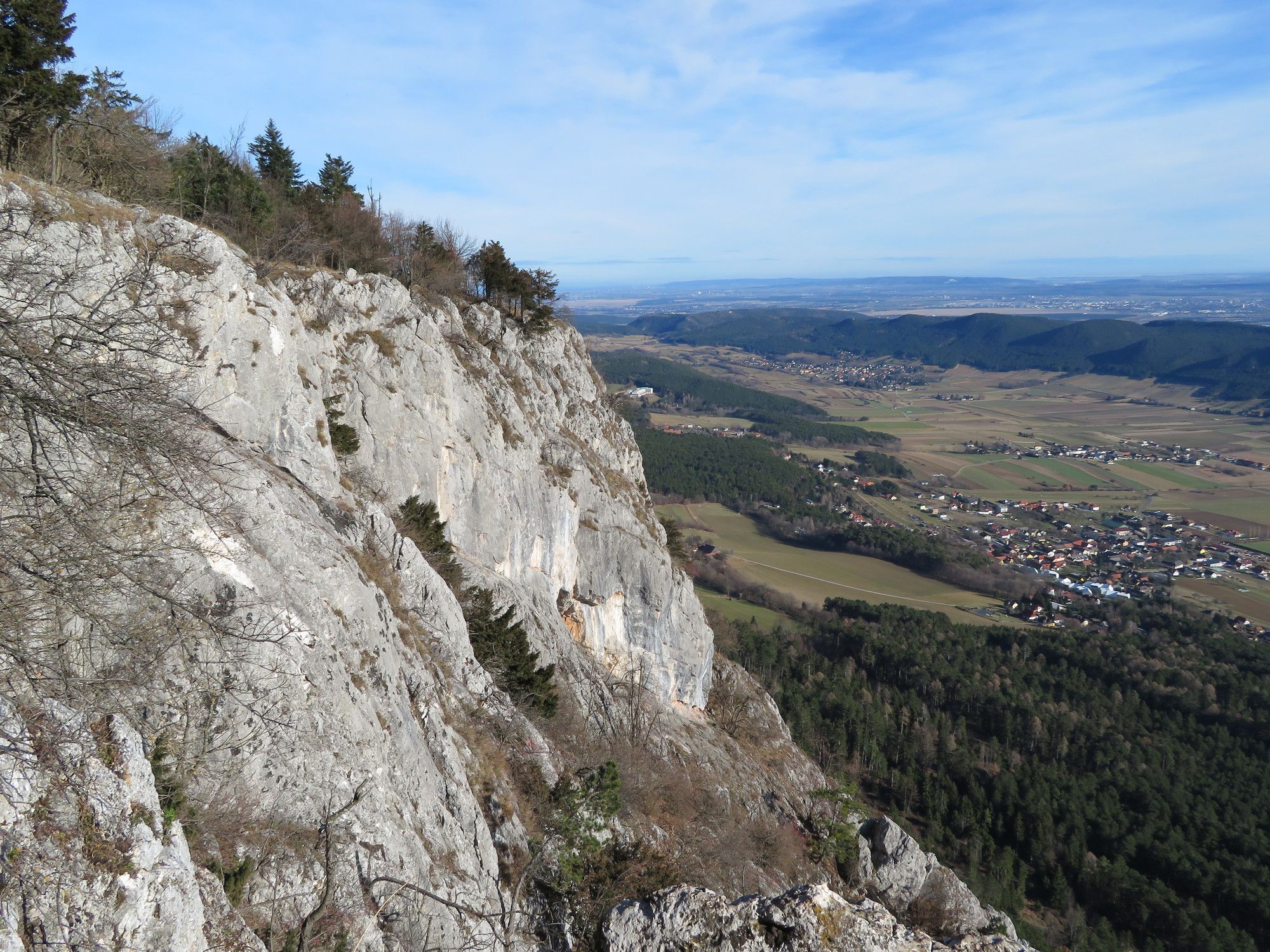
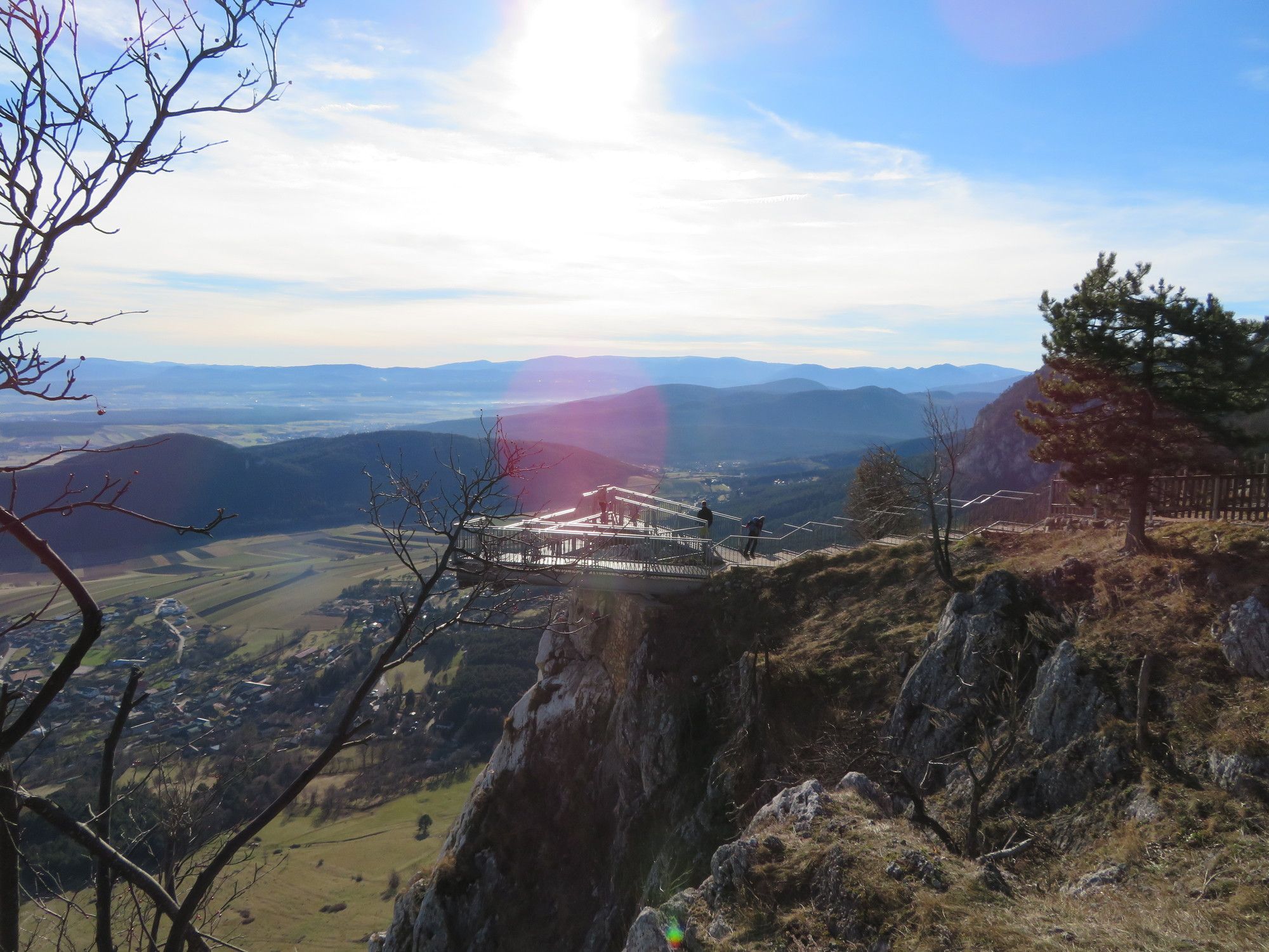
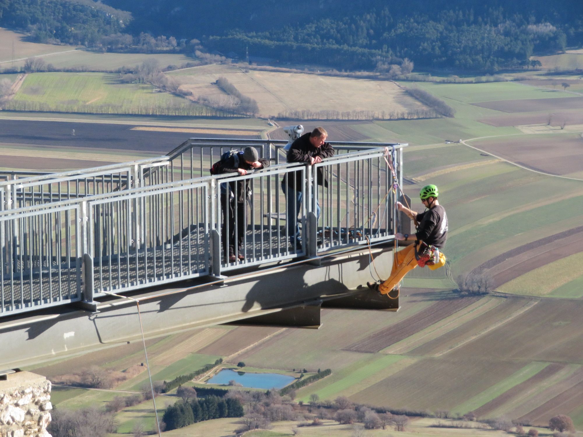
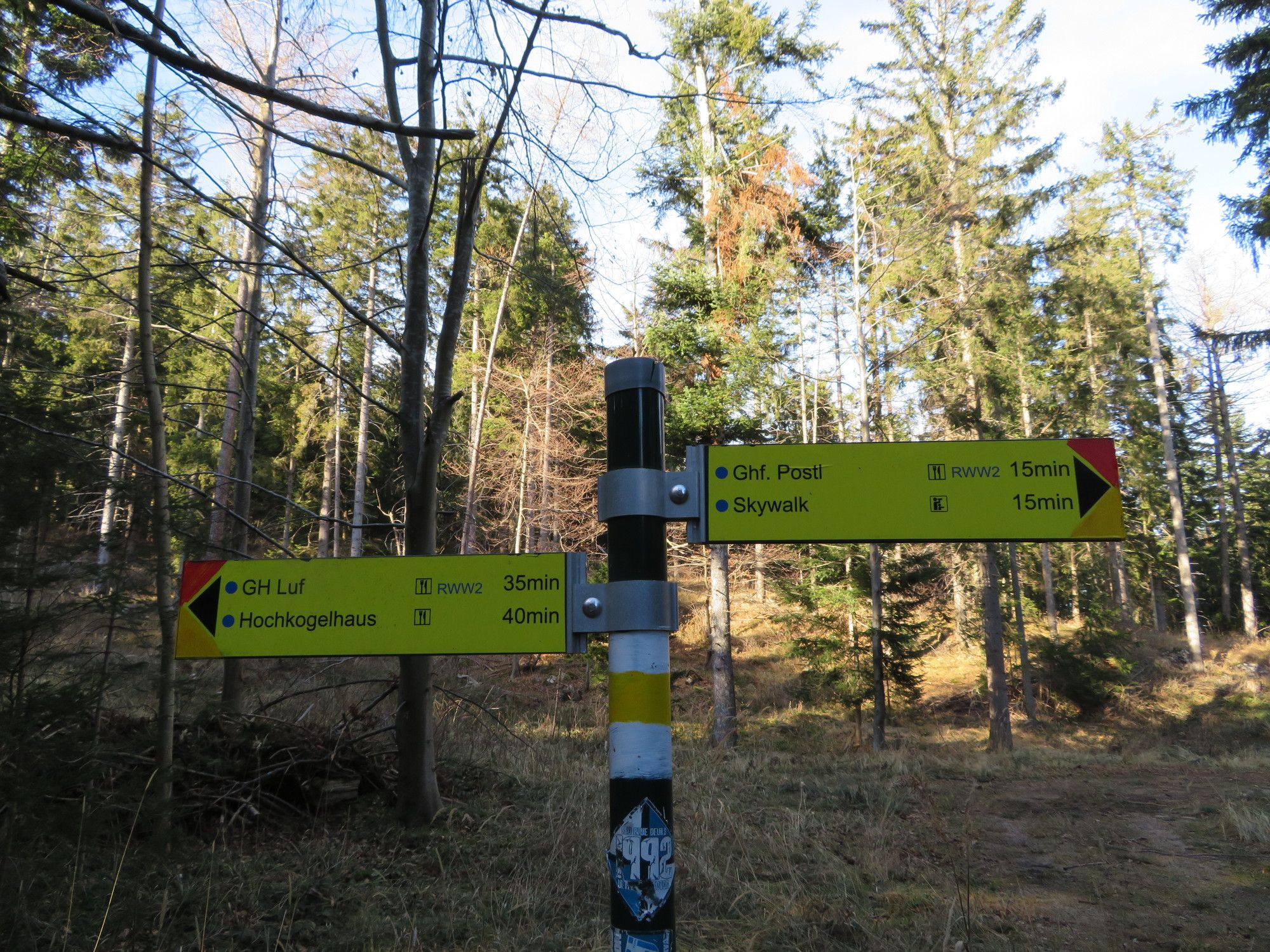
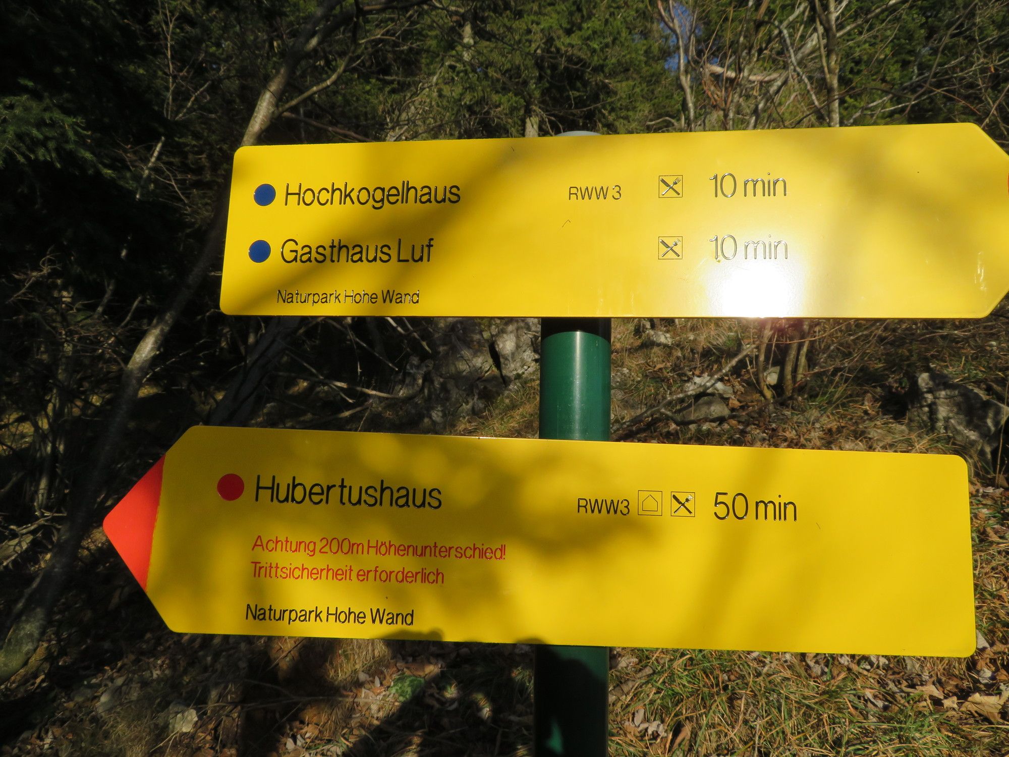
Alpengasthof PostlSonnenuhrhöhle0,4 kmVöllerinloch0,5 kmVöllerinquelle0,5 kmSchwarzer Kogel (959 m)1,6 kmThomasschacht2,6 kmGasthof Luf2,6 kmHochkogelhaus2,7 kmSüdtor I3,1 kmSüdtor III3,1 kmNeue-Welt-Blick3,1 km
- La mejor temporada
-
enefebmarabrmayjunjulagosepoctnovdic
- Punto álgido
- 945 m


GPS Downloads


Superficie de carretera
Asfalto
Gravilla
Pradera
Bosque
Roca
Expuesto
Más circuitos por las regiones
-
Wiener Alpen
3048
-
Schneebergland - Wiener Alpen
2457
-
Hohe Wand
727


